Camino Perl-Saint Jean Pied de Port via Vézelay trail stages
stage 1
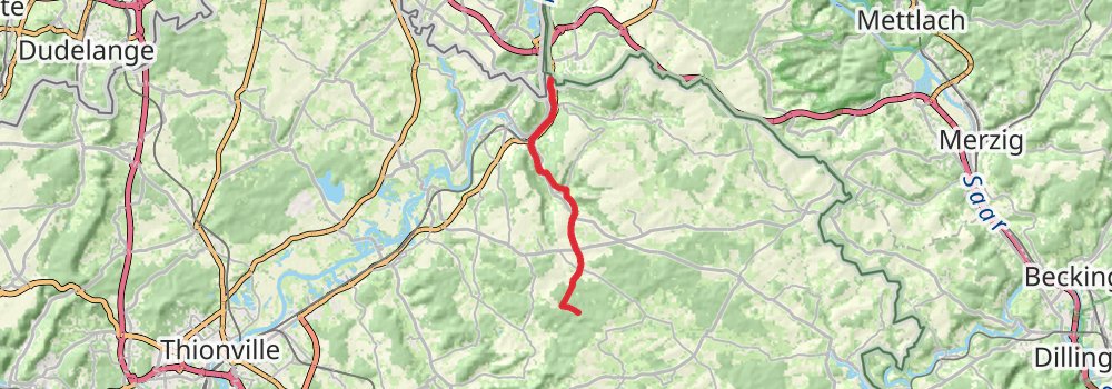
Starting at: Cèdre du Liban, Perl, Merzig-Wadern, 66706
Ending at: Elzange, Moselle, 57970
Distance: 13.8 km
Elevation gain: 352 m
Duration: 03:20:23
stage 2
stage 3
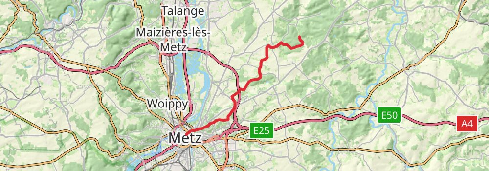
Starting at: Saint-Hubert, Moselle, 57640
Ending at: Metz, Moselle, 57014
Distance: 22.9 km
Elevation gain: 398 m
Duration: 05:14:15
stage 4
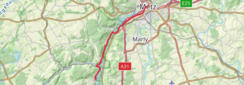
Starting at: Pont Saint-Georges, Metz, Moselle, 57014
Distance: 23.2 km
Elevation gain: 254 m
Duration: 05:04:08
stage 5
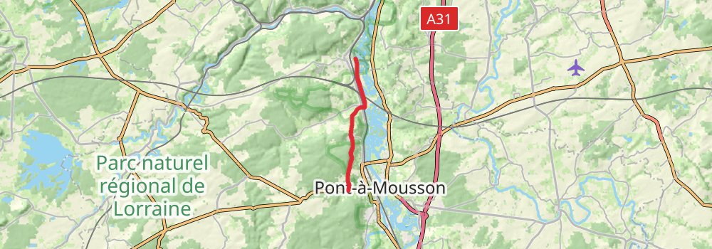
Ending at: Montauville, Meurthe-et-Moselle, 54700
Distance: 10.7 km
Elevation gain: 244 m
Duration: 02:32:13
stage 6
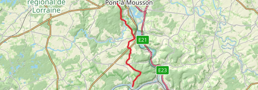
Starting at: Montauville, Meurthe-et-Moselle, 54700
Distance: 23.1 km
Elevation gain: 494 m
Duration: 05:26:53
stage 7
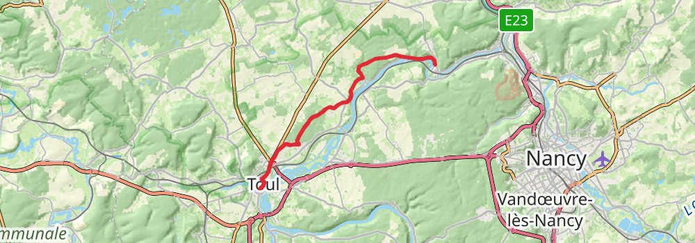
Starting at: Liverdun, Meurthe-et-Moselle, 54460
Ending at: Toul, Meurthe-et-Moselle, 54200
Distance: 21.7 km
Elevation gain: 304 m
Duration: 04:50:59
stage 8
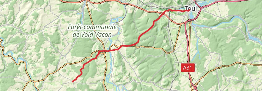
Starting at: Toul, Meurthe-et-Moselle, 54200
Ending at: Badonvilliers-Gérauvilliers, Meuse, 55130
Distance: 31.8 km
Elevation gain: 638 m
Duration: 07:25:18
stage 9
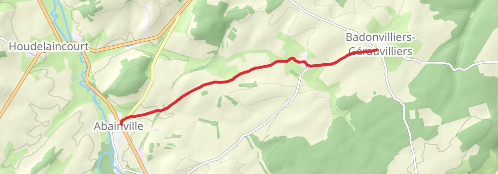
Starting at: Badonvilliers-Gérauvilliers, Meuse, 55130
Ending at: Abainville, Meuse, 55130
Distance: 7.3 km
Elevation gain: 58 m
Duration: 01:33:05
stage 10
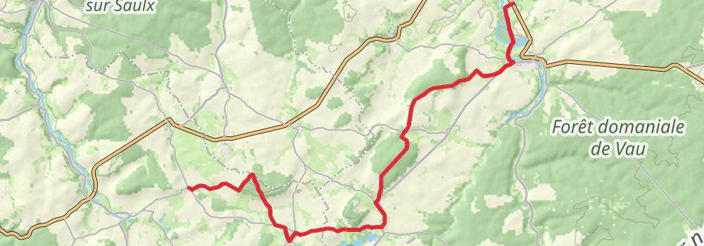
Starting at: Abainville, Meuse, 55130
Ending at: Gillaumé, Haute-Marne, 52230
Distance: 22.0 km
Elevation gain: 347 m
Duration: 04:59:04
stage 11
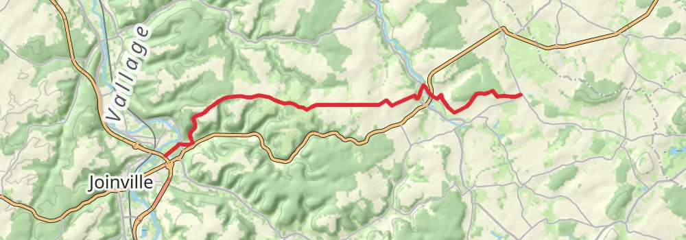
Starting at: Gillaumé, Haute-Marne, 52230
Ending at: Thonnance-lès-Joinville, Haute-Marne, 52300
Distance: 17.2 km
Elevation gain: 216 m
Duration: 03:47:50
stage 12
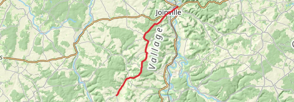
Starting at: Thonnance-lès-Joinville, Haute-Marne, 52300
Ending at: Ambonville, Haute-Marne, 52110
Distance: 22.5 km
Elevation gain: 438 m
Duration: 05:13:57
stage 13
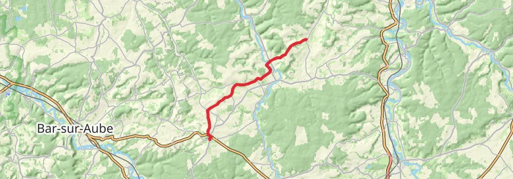
Starting at: Mairie de Ambonville, Ambonville, Haute-Marne, 52110
Distance: 18.0 km
Elevation gain: 349 m
Duration: 04:11:14
stage 14
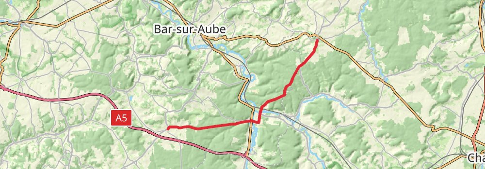
Starting at: Colombey-les-Deux-Églises, Haute-Marne, 52330
Ending at: Champignol-lez-Mondeville, Aube, 10200
Distance: 21.8 km
Elevation gain: 209 m
Duration: 04:42:04
stage 15
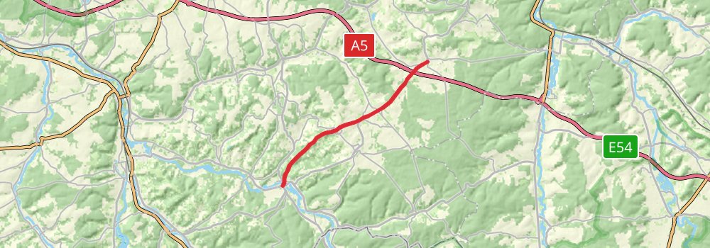
Starting at: Champignol-lez-Mondeville, Aube, 10200
Ending at: Essoyes, Aube, 10360
Distance: 14.8 km
Elevation gain: 199 m
Duration: 03:17:21
stage 16
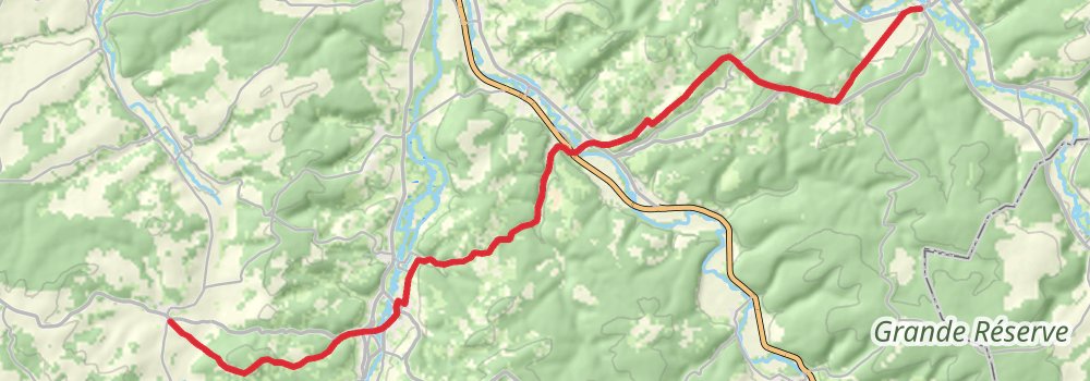
Starting at: Essoyes, Aube, 10360
Ending at: Bagneux-la-Fosse, Aube, 10340
Distance: 24.6 km
Elevation gain: 493 m
Duration: 05:44:31
stage 17
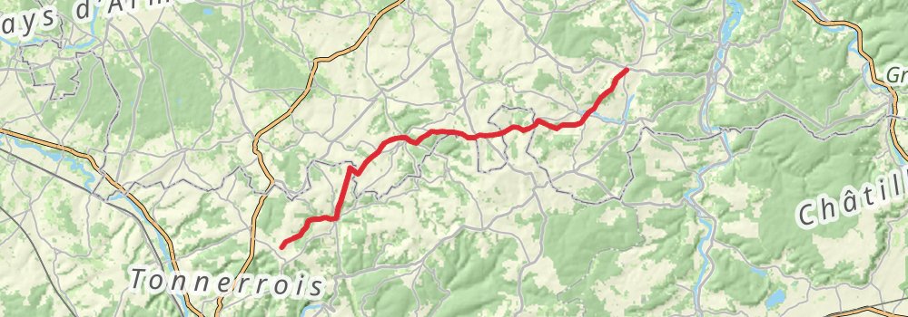
Starting at: Bagneux-la-Fosse, Aube, 10340
Ending at: Molosmes, Yonne, 89700
Distance: 27.1 km
Elevation gain: 518 m
Duration: 06:17:13
stage 18
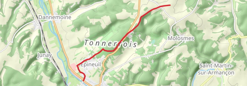
Starting at: Molosmes, Yonne, 89700
Ending at: La Cote Putois, Tonnerre, Yonne, 89700
Distance: 7.4 km
Elevation gain: 41 m
Duration: 01:33:17
stage 19
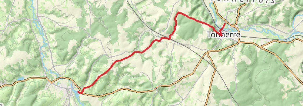
Starting at: La Cote Putois, Tonnerre, Yonne, 89700
Ending at: La Maladiere, Chablis, Yonne, 89800
Distance: 18.9 km
Elevation gain: 404 m
Duration: 04:26:41
stage 20
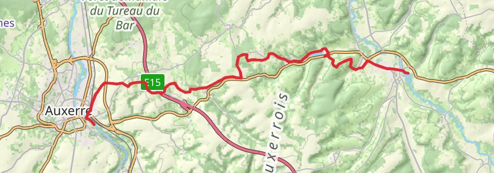
Starting at: La Maladiere, Chablis, Yonne, 89800
Distance: 25.1 km
Elevation gain: 435 m
Duration: 05:45:17
stage 21
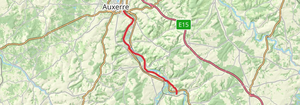
Starting at: Espacio Piscina, L'Arbre Sec, Auxerre, Yonne, 89000
Ending at: Deux Rivières, Yonne, 89460
Distance: 21.6 km
Elevation gain: 263 m
Duration: 04:45:28
stage 22
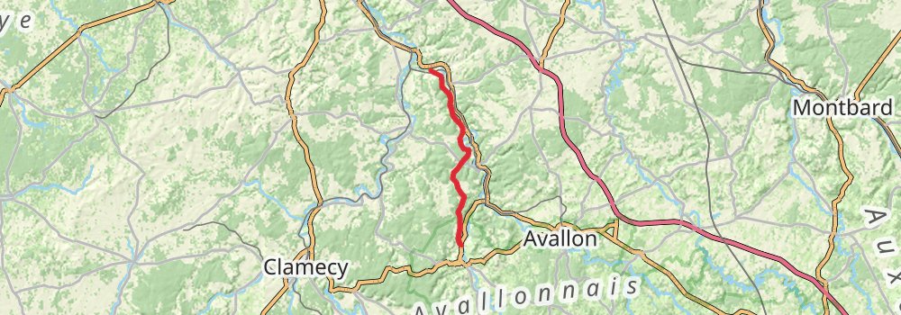
Starting at: Deux Rivières, Yonne, 89460
Ending at: Asquins, Yonne, 89450
Distance: 25.5 km
Elevation gain: 636 m
Duration: 06:09:27
stage 23
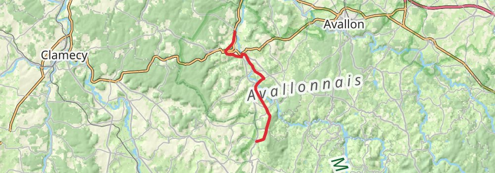
Starting at: Asquins, Yonne, 89450
Ending at: Bazoches, Nièvre, 58190
Distance: 17.5 km
Elevation gain: 429 m
Duration: 04:12:58
stage 24
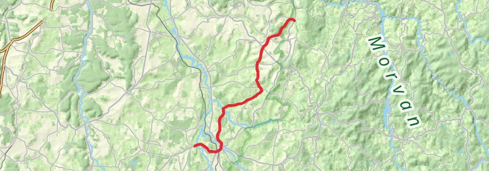
Starting at: Bazoches, Nièvre, 58190
Ending at: Mezières, Chaumot, Nièvre, 58800
Distance: 24.1 km
Elevation gain: 529 m
Duration: 05:42:06
stage 25
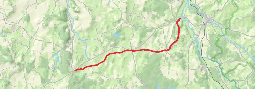
Starting at: Mezières, Chaumot, Nièvre, 58800
Ending at: Saint-Révérien, Nièvre, 58420
Distance: 14.8 km
Elevation gain: 317 m
Duration: 03:28:49
stage 26
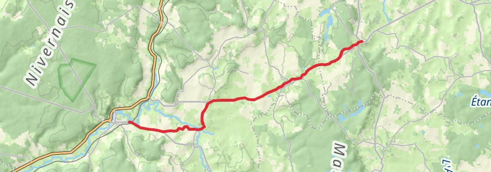
Starting at: Saint-Révérien, Nièvre, 58420
Ending at: Prémery, Nièvre, 58700
Distance: 15.4 km
Elevation gain: 206 m
Duration: 03:25:05
stage 27
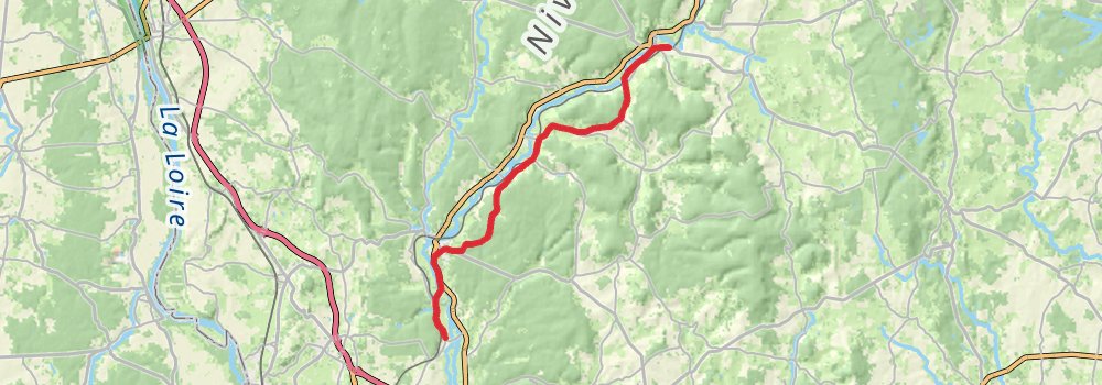
Starting at: Prémery, Nièvre, 58700
Ending at: Urzy, Nièvre, 58130
Distance: 23.2 km
Elevation gain: 292 m
Duration: 05:07:01
stage 28
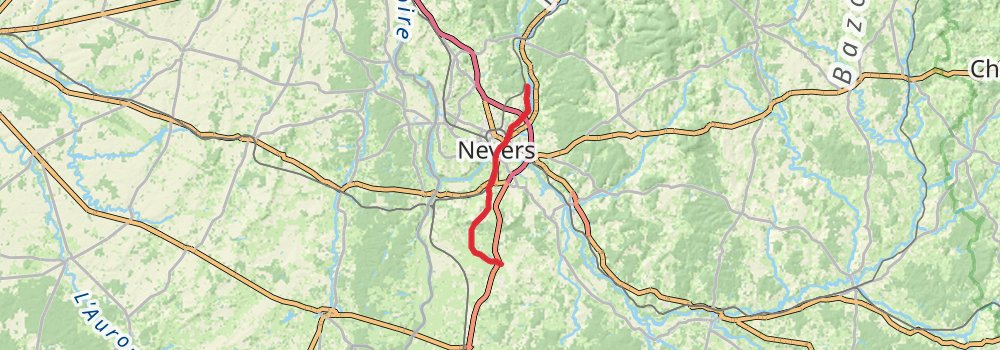
Starting at: Urzy, Nièvre, 58130
Ending at: Magny-Cours, Nièvre, 58470
Distance: 25.8 km
Elevation gain: 327 m
Duration: 05:42:10
stage 29
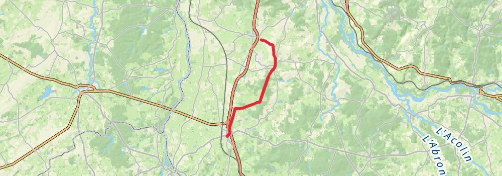
stage 30
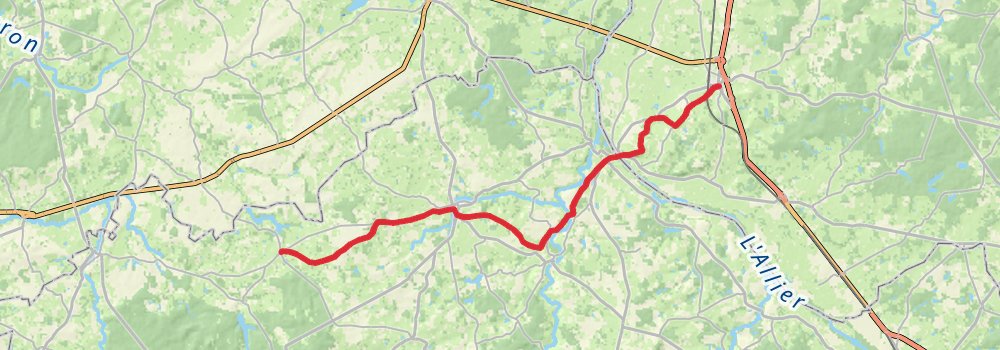
Ending at: Monument aux morts, Valigny, Allier, 03360
Distance: 31.7 km
Elevation gain: 372 m
Duration: 06:57:25