GR 22 - De Paris Au Mont Saint Michel trail stages
stage 1
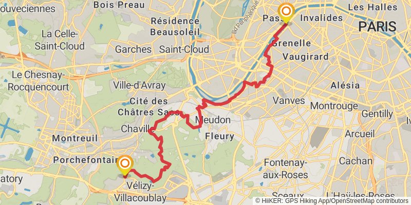
Starting at: Pont de Bir-Hakeim, Paris, Paris, 75015
Distance: 20.4 km
Elevation gain: 445 m
Duration: 04:49:23
View on mapstage 2
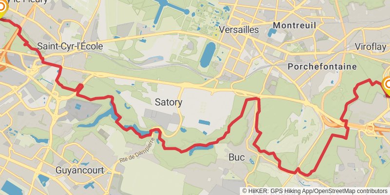
Ending at: Fontenay-le-Fleury, Yvelines, 78330
Distance: 18.7 km
Elevation gain: 342 m
Duration: 04:18:30
View on mapstage 3
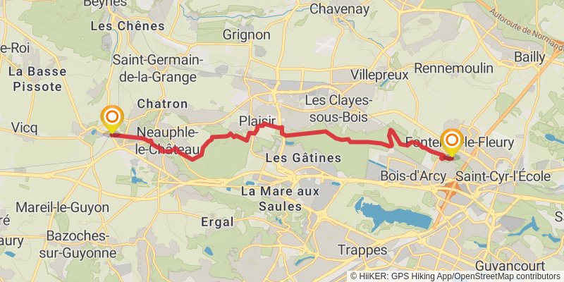
Starting at: Fontenay-le-Fleury, Yvelines, 78330
Ending at: Villiers-Saint-Frédéric, Yvelines, 78640
Distance: 15.8 km
Elevation gain: 231 m
Duration: 03:32:39
View on mapstage 4
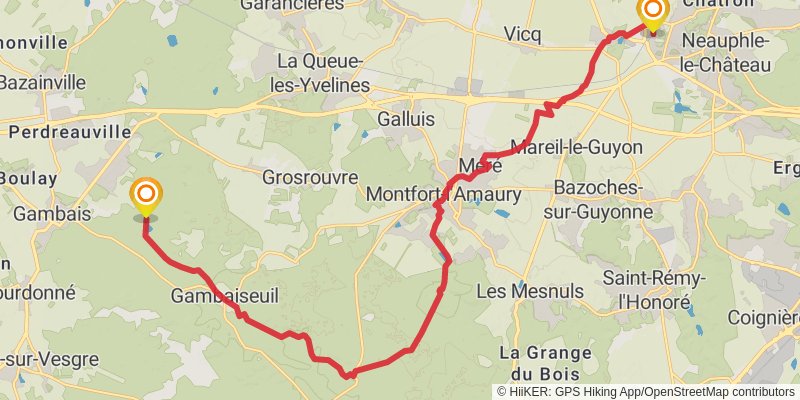
Starting at: Villiers-Saint-Frédéric, Yvelines, 78640
Ending at: Gambaiseuil, Yvelines, 78490
Distance: 22.7 km
Elevation gain: 298 m
Duration: 05:02:17
View on mapalt 1
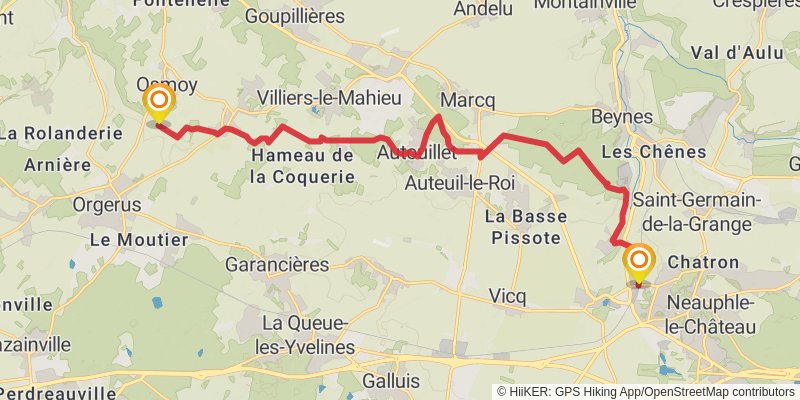
Starting at: Villiers-Saint-Frédéric, Yvelines, 78640
Ending at: Osmoy, Yvelines, 78910
Distance: 18.5 km
Elevation gain: 234 m
Duration: 04:05:11
View on mapalt 2
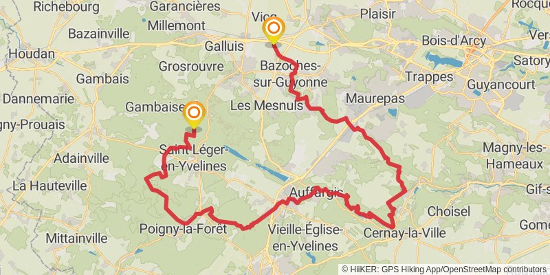
Starting at: Mareil-le-Guyon, Yvelines, 78490
Ending at: Gambaiseuil, Yvelines, 78490
Distance: 58.0 km
Elevation gain: 934 m
Duration: 13:09:29
View on mapstage 5
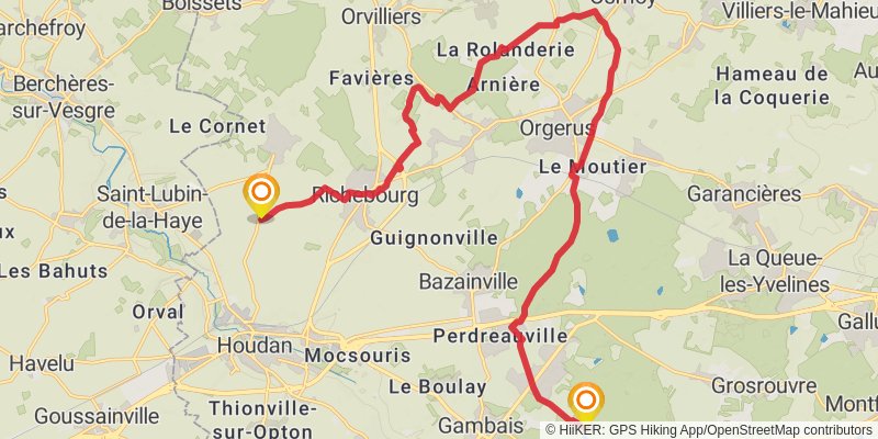
Starting at: Gambaiseuil, Yvelines, 78490
Ending at: Gressey, Yvelines, 78550
Distance: 23.6 km
Elevation gain: 256 m
Duration: 05:08:50
View on mapstage 6
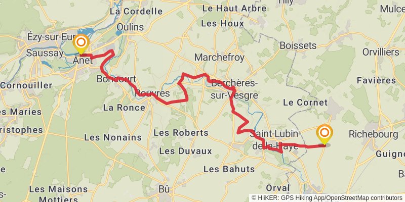
Starting at: Houdan, Yvelines, 78550
Ending at: Anet, Eure-et-Loir, 28260
Distance: 21.6 km
Elevation gain: 213 m
Duration: 04:40:13
View on mapstage 7
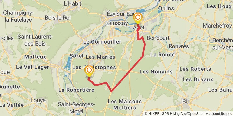
Starting at: Hôtel de ville, Anet, Eure-et-Loir, 28260
Ending at: Sorel-Moussel, Eure-et-Loir, 28260
Distance: 10.7 km
Elevation gain: 133 m
Duration: 02:21:26
View on mapstage 8
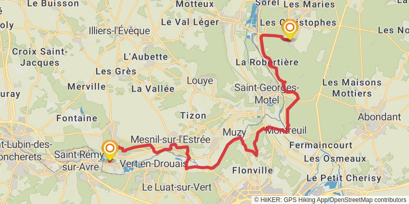
Starting at: Sorel-Moussel, Eure-et-Loir, 28260
Ending at: Saint-Germain-sur-Avre, Eure, 27320
Distance: 22.0 km
Elevation gain: 366 m
Duration: 05:00:43
View on mapstage 9
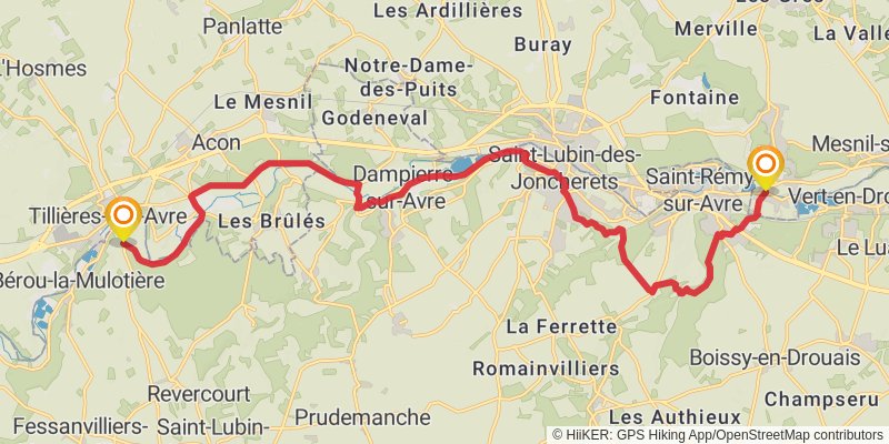
Starting at: Saint-Germain-sur-Avre, Eure, 27320
Ending at: Bérou-la-Mulotière, Eure-et-Loir, 28270
Distance: 22.2 km
Elevation gain: 322 m
Duration: 04:58:31
View on mapstage 10
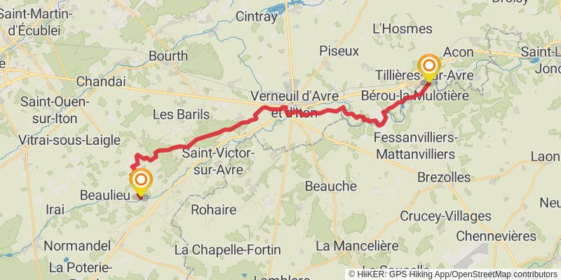
Starting at: Bérou-la-Mulotière, Eure-et-Loir, 28270
Ending at: Chennebrun, Eure, 27820
Distance: 31.1 km
Elevation gain: 323 m
Duration: 06:45:50
View on mapstage 11
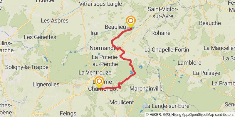
Starting at: Chennebrun, Eure, 27820
Ending at: Longny les Villages, Orne, 61290
Distance: 22.2 km
Elevation gain: 246 m
Duration: 04:50:38
View on mapstage 12
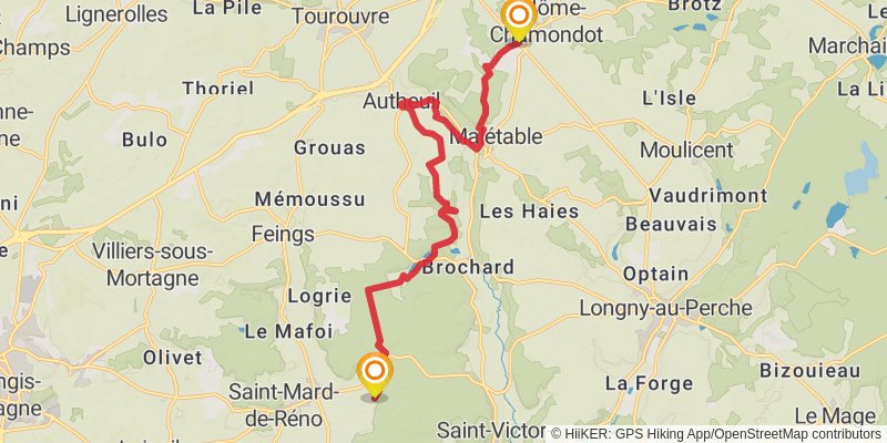
Starting at: Les Forges, L'Hôme-Chamondot, Orne, 61290
Distance: 15.7 km
Elevation gain: 305 m
Duration: 03:38:22
View on mapstage 13
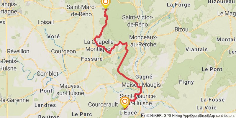
Starting at: Le Varincent, Saint-Mard-de-Réno, Orne, 61400
Distance: 16.5 km
Elevation gain: 337 m
Duration: 03:51:58
View on mapstage 14
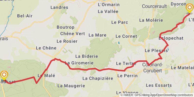
Starting at: La Fosse, Cour-Maugis sur Huisne, Orne, 61340
Distance: 13.8 km
Elevation gain: 330 m
Duration: 03:18:57
View on mapstage 15
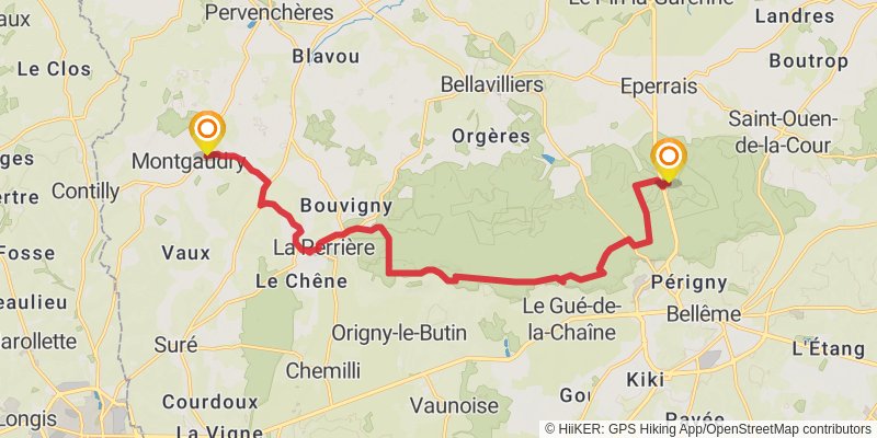
Ending at: Montgaudry, Orne, 61360
Distance: 16.9 km
Elevation gain: 294 m
Duration: 03:51:49
View on mapstage 16
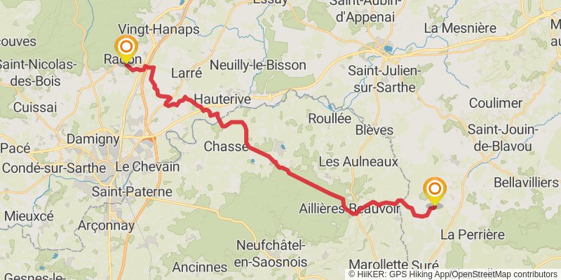
Starting at: Montgaudry, Orne, 61360
Ending at: Écouves, Orne, 61250
Distance: 32.9 km
Elevation gain: 507 m
Duration: 07:25:30
View on mapstage 17
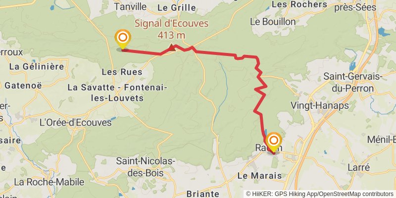
Starting at: Écouves, Orne, 61250
Ending at: Tanville, Orne, 61500
Distance: 14.7 km
Elevation gain: 383 m
Duration: 03:34:18
View on mapalt 3
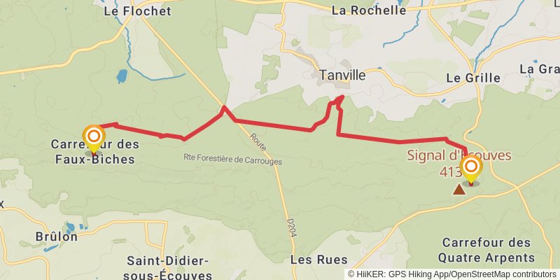
Starting at: Tanville, Orne, 61500
Distance: 9.6 km
Elevation gain: 179 m
Duration: 02:13:09
View on mapstage 18
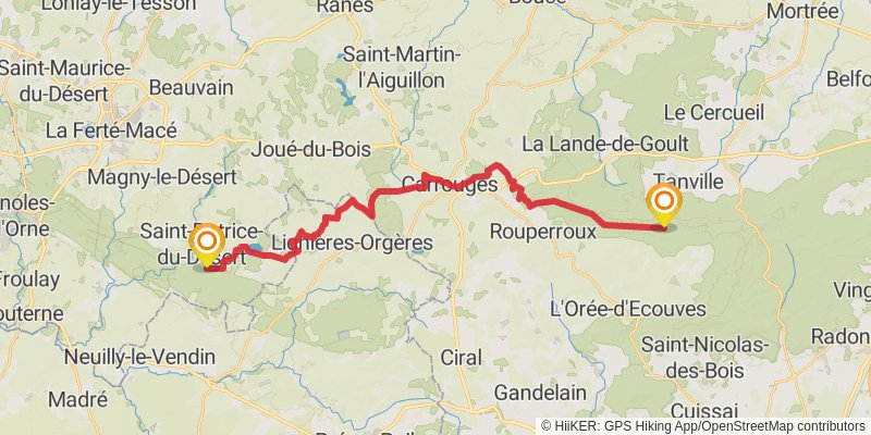
Starting at: L'Orée-d'Écouves, Orne, 61420
Ending at: Saint-Patrice-du-Désert, Orne, 61600
Distance: 29.9 km
Elevation gain: 411 m
Duration: 06:39:23
View on mapstage 19
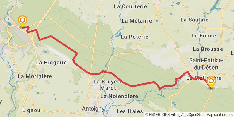
Starting at: Saint-Patrice-du-Désert, Orne, 61600
Distance: 11.2 km
Elevation gain: 170 m
Duration: 02:31:53
View on mapstage 20
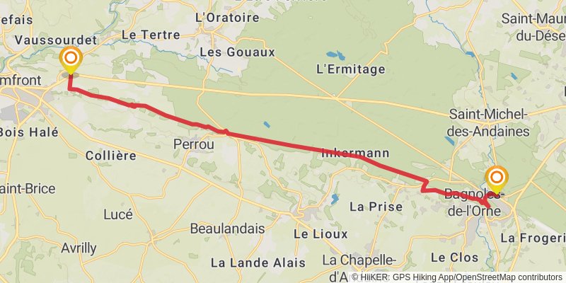
Starting at: Bagnoles-de-l'Orne-Normandie, Orne, 61140
Ending at: Domfront en Poiraie, Orne, 61700
Distance: 17.9 km
Elevation gain: 229 m
Duration: 03:57:28
View on mapstage 21
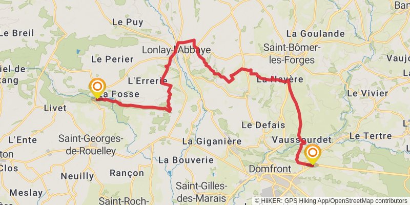
Starting at: Domfront en Poiraie, Orne, 61700
Ending at: Saint-Georges-de-Rouelley, Manche, 50720
Distance: 21.4 km
Elevation gain: 410 m
Duration: 04:58:04
View on mapalt 4
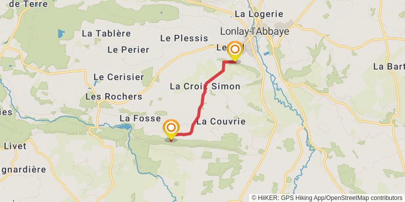
Starting at: Lotissement du Val, Lonlay-l'Abbaye, Orne, 61700
Ending at: Domfront en Poiraie, Orne, 61700
Distance: 3.0 km
Elevation gain: 49 m
Duration: 00:41:04
View on mapstage 22
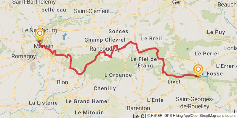
Starting at: Saint-Georges-de-Rouelley, Manche, 50720
Ending at: Le Neufbourg, Manche, 50140
Distance: 22.5 km
Elevation gain: 524 m
Duration: 05:22:36
View on mapstage 23
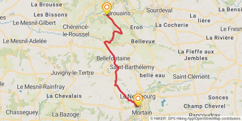
Starting at: Le Neufbourg, Manche, 50140
Distance: 11.6 km
Elevation gain: 281 m
Duration: 02:47:11
View on mapstage 24
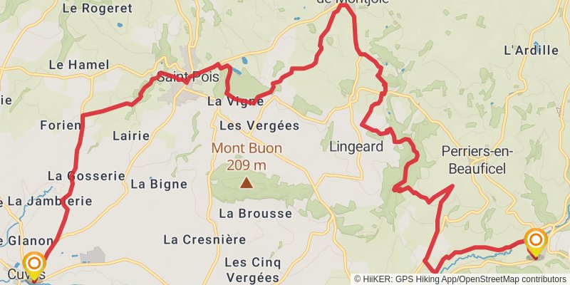
Starting at: Brouains, Manche, 50150
Ending at: Cuves, Manche, 50670
Distance: 20.5 km
Elevation gain: 481 m
Duration: 04:54:22
View on mapstage 25
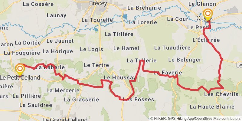
Starting at: Cuves, Manche, 50670
Ending at: Le Bourg, Le Petit-Celland, Manche, 50370
Distance: 17.8 km
Elevation gain: 515 m
Duration: 04:24:38
View on mapalt 5
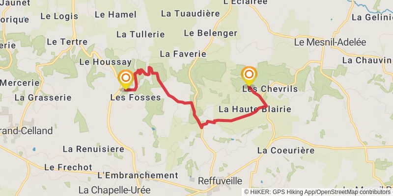
Starting at: La Haute Blairie, Reffuveille, Manche, 50520
Ending at: Le Grand-Celland, Manche, 50370
Distance: 6.4 km
Elevation gain: 108 m
Duration: 01:27:45
View on map