GR70 - Stevenson Trail trail stages
stage 1
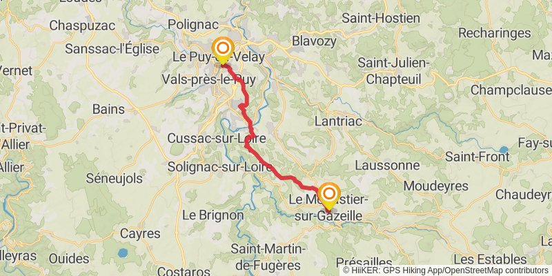
Starting at: Le Puy-en-Velay, Le Puy-en-Velay, 43000
Distance: 18.4 km
Elevation gain: 668 m
Duration: 04:47:13
View on mapstage 2
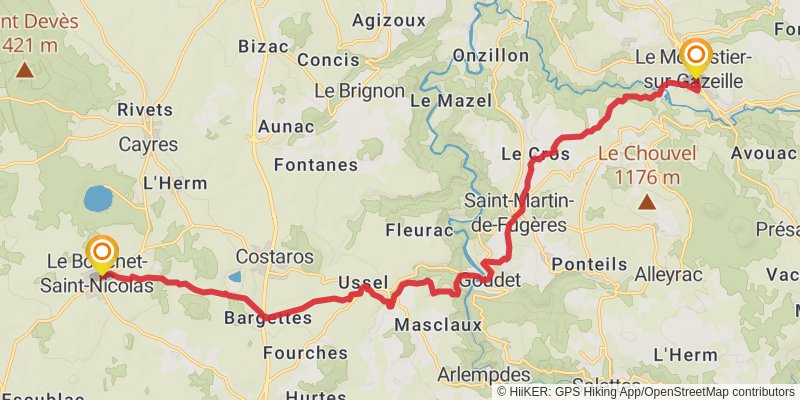
Ending at: Le Bouchet-Saint-Nicolas, Cayres, 43510
Distance: 23.9 km
Elevation gain: 870 m
Duration: 06:13:16
View on mapalt 1
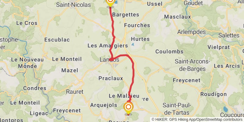
Starting at: Maar du Péchay, Costaros, Haute-Loire, 43490
Ending at: Saint-Paul-de-Tartas, Haute-Loire, 43420
Distance: 13.1 km
Elevation gain: 203 m
Duration: 02:57:24
View on mapstage 3
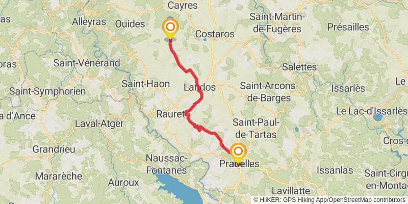
Starting at: Le Bouchet-Saint-Nicolas, Cayres, 43510
Ending at: Pradelles, Pradelles, 43420
Distance: 20.8 km
Elevation gain: 381 m
Duration: 04:47:33
View on mapstage 4
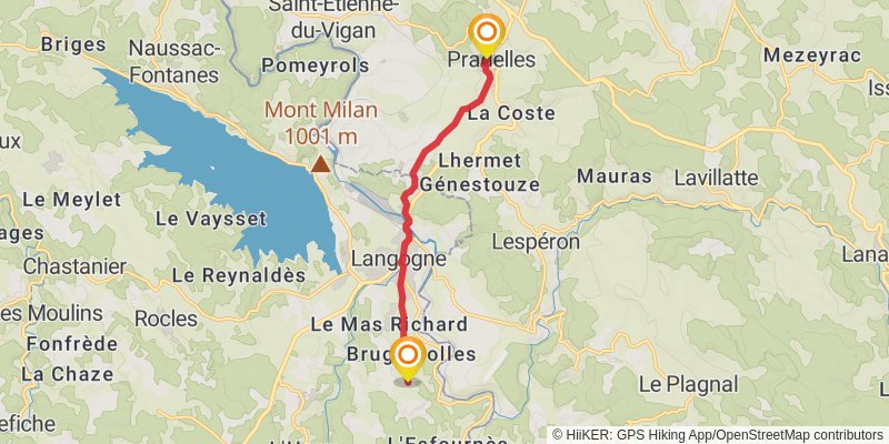
Starting at: Pradelles, Pradelles, 43420
Ending at: Brugeyrolles, Langogne, Lozère, 48300
Distance: 9.3 km
Elevation gain: 148 m
Duration: 02:06:40
View on mapstage 5
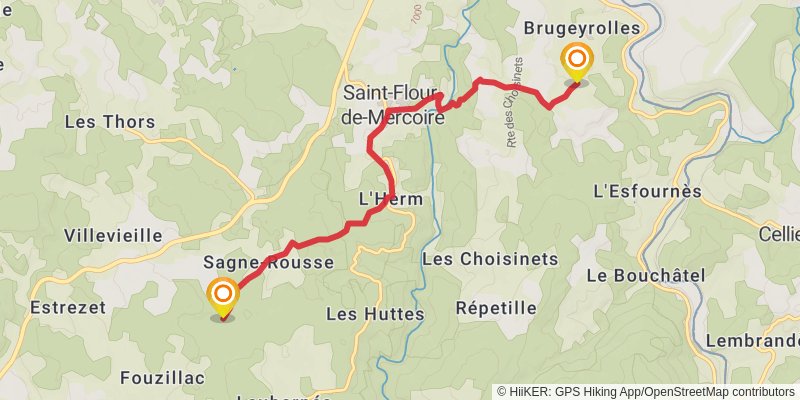
Starting at: Langogne, Mende, 48300
Ending at: Laubarnés, Cheylard-l'Évêque, Lozère, 48300
Distance: 8.0 km
Elevation gain: 297 m
Duration: 02:06:02
View on mapalt 2
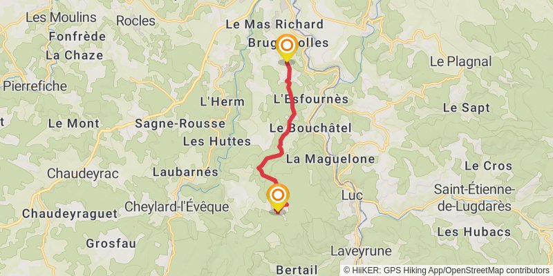
Starting at: Brugeyrolles, Langogne, Lozère, 48300
Ending at: Luc, Lozère, 48250
Distance: 7.8 km
Elevation gain: 296 m
Duration: 02:02:52
View on mapstage 6
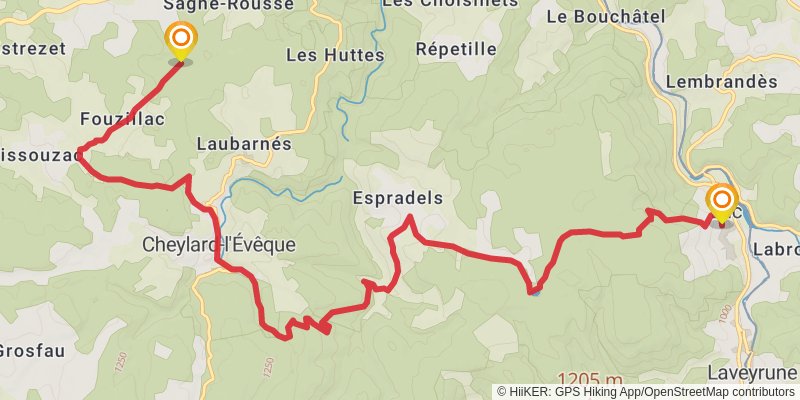
Starting at: Sagne-Rousse, Mende, 48300
Ending at: Luc, Lozère, 48250
Distance: 16.4 km
Elevation gain: 429 m
Duration: 03:59:18
View on mapstage 7
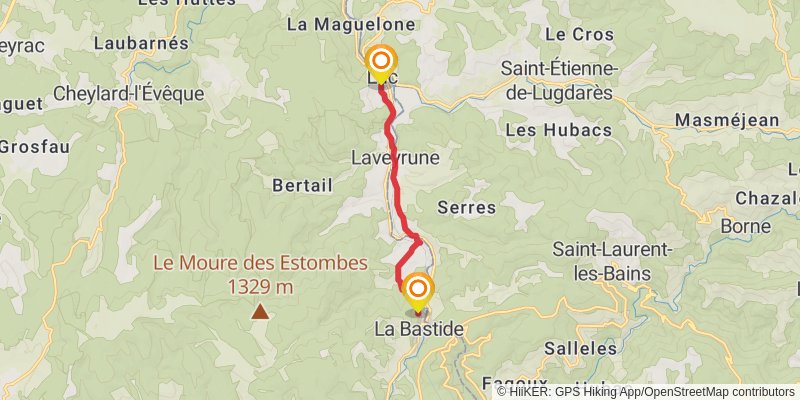
Starting at: Mairie de Luc, Luc, Langogne
Ending at: La Bastide-Puylaurent, Villefort, 48250
Distance: 7.4 km
Elevation gain: 228 m
Duration: 01:51:08
View on mapalt 3
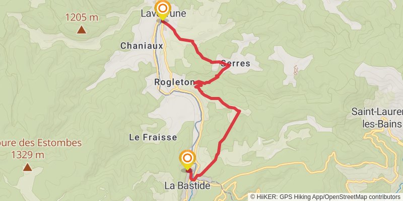
Starting at: Mairie Sud, Laveyrune, Ardèche, 48250
Ending at: La Bastide-Puylaurent, Villefort, 48250
Distance: 8.2 km
Elevation gain: 367 m
Duration: 02:15:37
View on mapstage 8
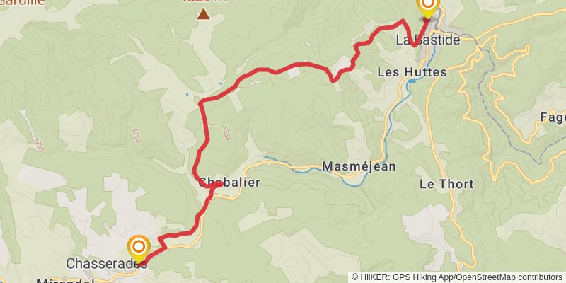
Starting at: La Bastide-Puylaurent, Villefort, 48250
Ending at: Mont Lozère et Goulet, Lozère, 48250
Distance: 11.0 km
Elevation gain: 388 m
Duration: 02:51:01
View on mapalt 4
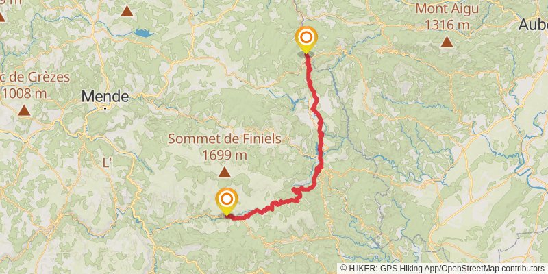
Starting at: La Bastide-Puylaurent, Villefort, 48250
Distance: 53.4 km
Elevation gain: 1796 m
Duration: 13:40:56
View on mapstage 9
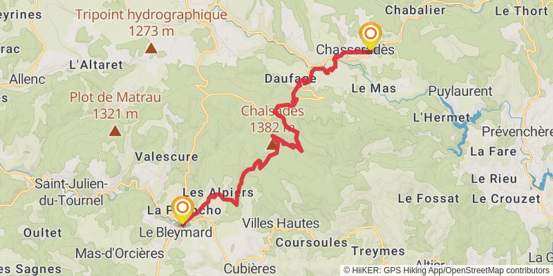
Starting at: Chasseradès, Le Bleymard, 48250
Distance: 17.8 km
Elevation gain: 571 m
Duration: 04:30:53
View on mapstage 10
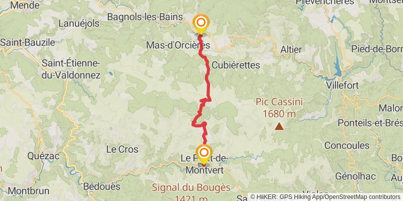
Starting at: Le Bleymard, Chasseradès, Le Bleymard, 48190
Distance: 20.0 km
Elevation gain: 709 m
Duration: 05:11:05
View on mapstage 11
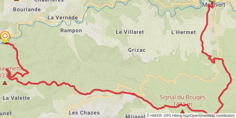
Ending at: Cocurès, Bédouès-Cocurès, Lozère, 48400
Distance: 23.0 km
Elevation gain: 865 m
Duration: 06:02:08
View on mapstage 12
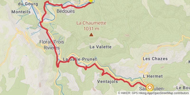
Starting at: Bédouès-Cocurès, Florac, 48400
Ending at: Balazuègnes, Cans et Cévennes, Lozère, 48400
Distance: 15.4 km
Elevation gain: 541 m
Duration: 03:58:21
View on mapstage 13
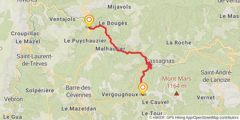
Starting at: Chambres et Table d'Hôtes "Domaine des 3 Tilleuls, Saint-Julien-D'Arpaon, Barre-des-Cévennes
Ending at: Saint-Martin-de-Lansuscle, Lozère, 48110
Distance: 12.7 km
Elevation gain: 672 m
Duration: 03:39:59
View on mapstage 14
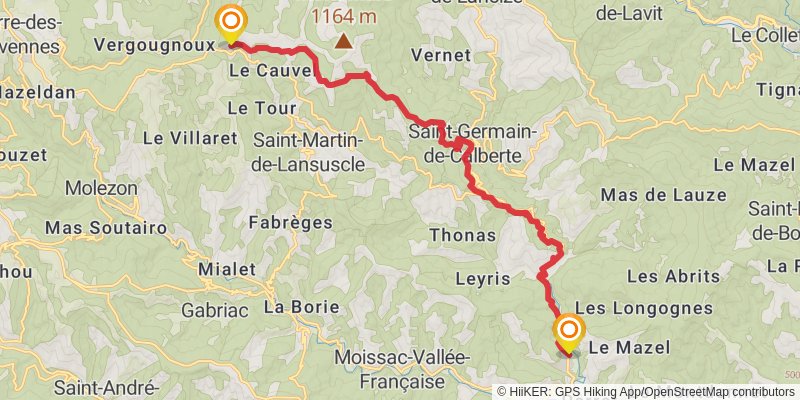
stage 15
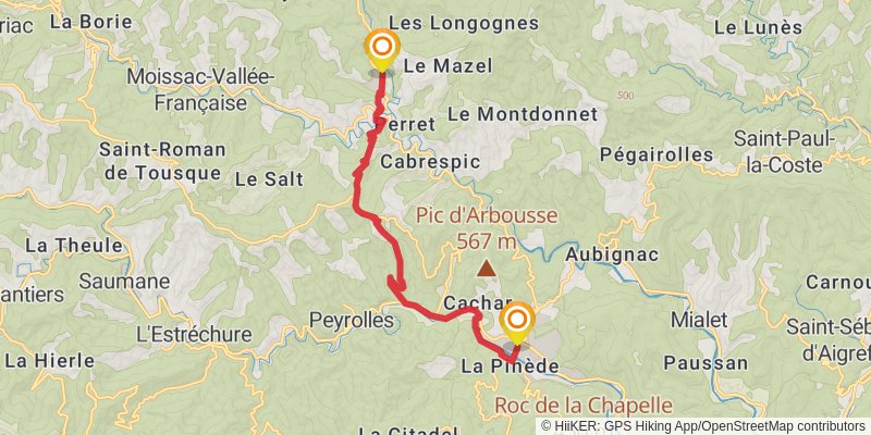
stage 16
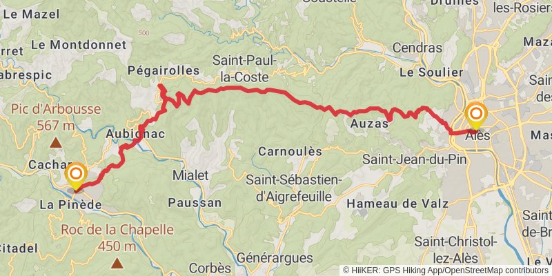
Starting at: Le chemin de Robert-Louis Stevenson en compagnie de Modestine, 1878, Saint-Jean-du-Gard, Saint-Jean-du-Gard
Ending at: Alès, Alès, 30100
Distance: 25.2 km
Elevation gain: 1251 m
Duration: 07:07:11
View on map