GR 50 trail stages
stage 1
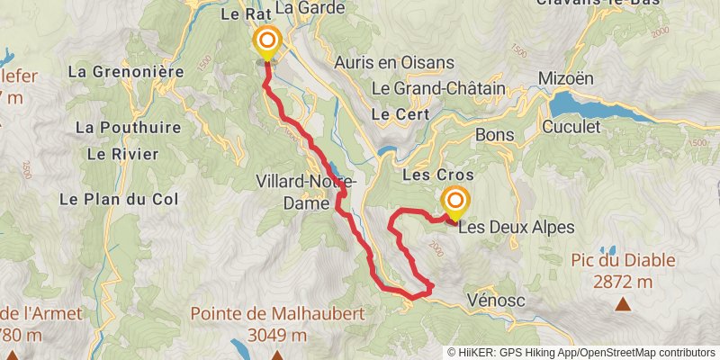
Starting at: Le Bourg-d'Oisans, Le Bourg-d'Oisans, 38520
Ending at: Vallée Blanche, Les Deux Alpes, Isère, 38860
Distance: 16.0 km
Elevation gain: 1442 m
Duration: 05:36:39
View on mapalt 1
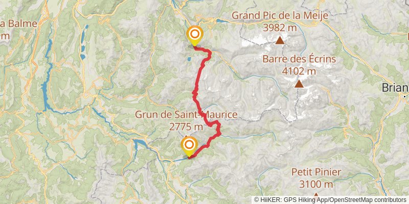
Starting at: Vénosc, Le Bourg-d'Oisans
Distance: 49.8 km
Elevation gain: 4964 m
Duration: 18:14:06
View on mapstage 2
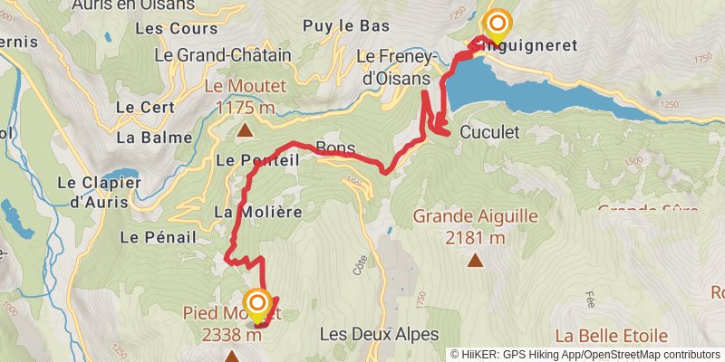
Starting at: Les Deux Alpes, Grenoble, 38520
Ending at: Mizoën, Le Bourg-d'Oisans
Distance: 11.8 km
Elevation gain: 622 m
Duration: 03:24:09
View on mapstage 3
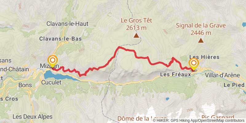
Starting at: Sainte-Claude, Mizoën, Le Bourg-d'Oisans
Ending at: La Grave, Hautes-Alpes, 05320
Distance: 19.7 km
Elevation gain: 1778 m
Duration: 06:54:41
View on mapspur 1
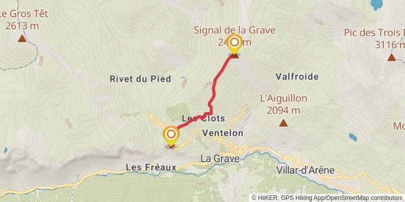
Starting at: Oratoire Sainte-Anne, La Grave, Hautes-Alpes, 05320
Distance: 3.7 km
Elevation gain: 693 m
Duration: 01:53:23
View on mapstage 4
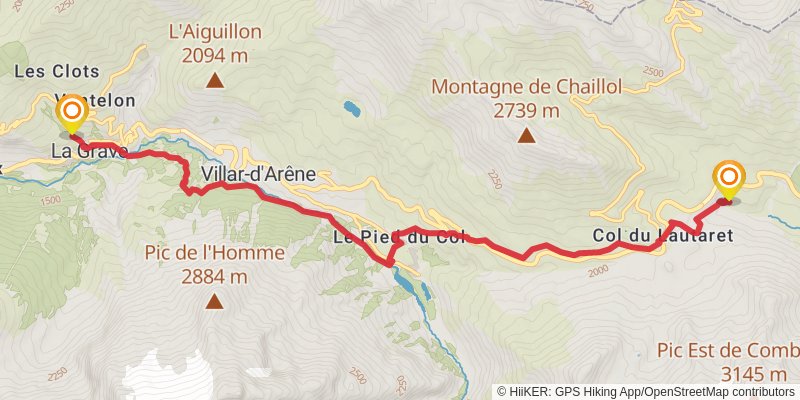
Starting at: Torrent des Clots, La Grave, La Grave
Ending at: Le Monêtier-les-Bains, Hautes-Alpes, 05220
Distance: 11.5 km
Elevation gain: 820 m
Duration: 03:40:24
View on mapalt 2

Starting at: Villar-d'Arêne, La Grave
Ending at: Champoléon, Hautes-Alpes, 05260
Distance: 74.5 km
Elevation gain: 4480 m
Duration: 22:22:15
View on mapstage 5
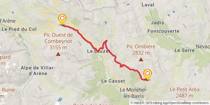
Starting at: Le Monêtier-les-Bains, Briançon, 05220
Ending at: Le Monêtier-les-Bains, Hautes-Alpes, 05220
Distance: 14.8 km
Elevation gain: 931 m
Duration: 04:30:28
View on mapstage 6
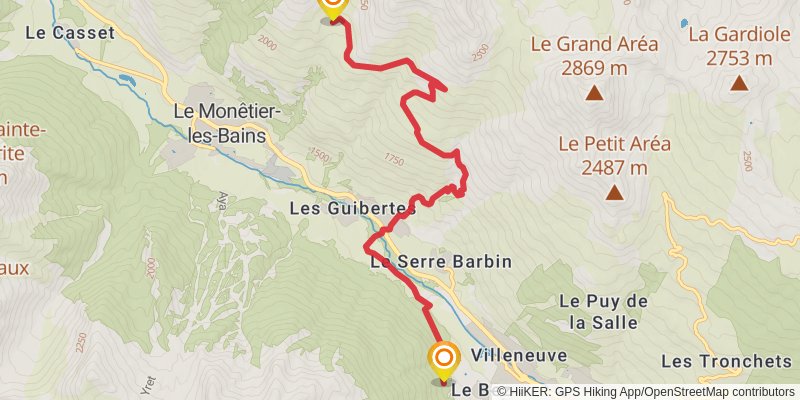
Starting at: Le Monêtier-les-Bains, Briançon, 05220
Distance: 9.4 km
Elevation gain: 315 m
Duration: 02:24:48
View on mapstage 7
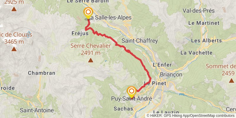
Starting at: La Salle-les-Alpes, Le Monêtier-les-Bains, 05240
Distance: 14.0 km
Elevation gain: 845 m
Duration: 04:12:16
View on mapstage 8
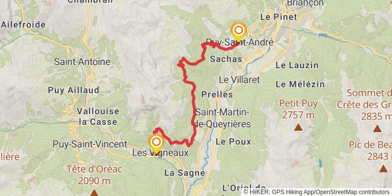
Starting at: Puy-Saint-André, L'Argentière-la-Bessée, 05100
Ending at: Les Vigneaux, L'Argentière-la-Bessée
Distance: 18.7 km
Elevation gain: 1113 m
Duration: 05:35:36
View on mapstage 9

Ending at: Freissinières, L'Argentière-la-Bessée, 05310
Distance: 15.8 km
Elevation gain: 1387 m
Duration: 05:27:49
View on mapalt 3
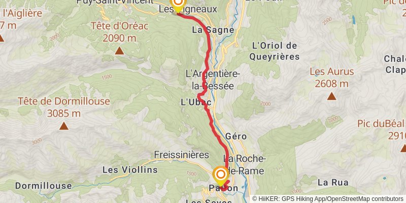
Starting at: Les Vigneaux, Hautes-Alpes, 05120
Ending at: Freissinières, Hautes-Alpes, 05310
Distance: 12.9 km
Elevation gain: 665 m
Duration: 03:41:15
View on mapstage 10
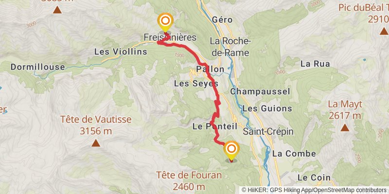
Starting at: Freissinières, Briançon, 05310
Distance: 12.0 km
Elevation gain: 638 m
Duration: 03:28:21
View on mapalt 4
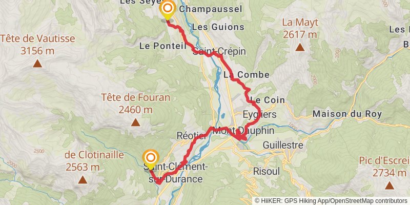
Starting at: Champcella, L'Argentière-la-Bessée, 05310
Distance: 20.7 km
Elevation gain: 815 m
Duration: 05:29:17
View on mapstage 11
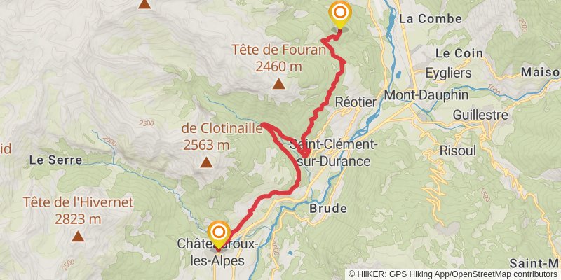
Starting at: Saint-Crépin, Briançon, 05600
Ending at: Saint-Marcelin, Hautes-Alpes, 05380
Distance: 17.4 km
Elevation gain: 844 m
Duration: 04:52:52
View on mapstage 12
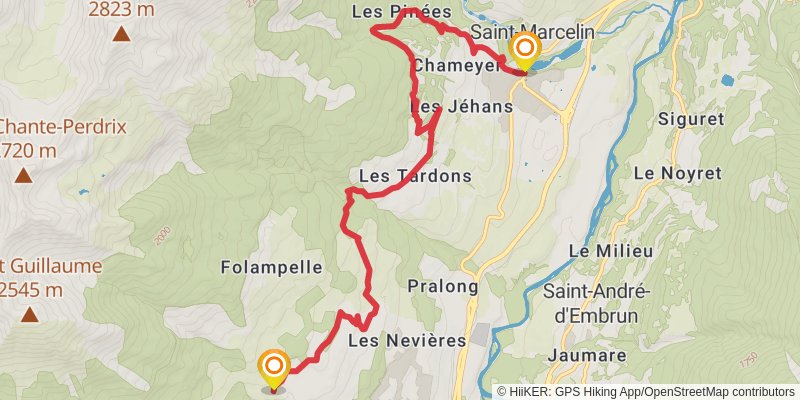
Ending at: Embrun, Embrun, 05200
Distance: 11.8 km
Elevation gain: 762 m
Duration: 03:38:03
View on mapalt 5
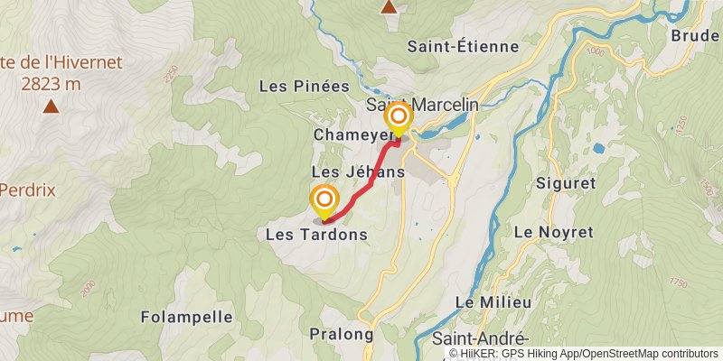
stage 13
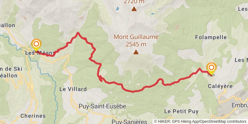
Starting at: Embrun, Gap, 05200
Ending at: Réallon, Savines-le-Lac, 05160
Distance: 12.3 km
Elevation gain: 889 m
Duration: 03:56:03
View on mapstage 14
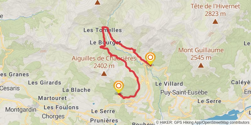
Starting at: Réallon, Gap, 05160
Ending at: Saint-Apollinaire, Hautes-Alpes, 05160
Distance: 17.5 km
Elevation gain: 1155 m
Duration: 05:25:33
View on mapstage 15
stage 16
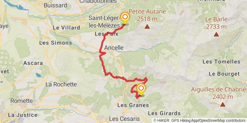
Starting at: La Bâtie-Neuve, Gap, 05230
Ending at: Saint-Léger-les-Mélèzes, Hautes-Alpes, 05260
Distance: 15.8 km
Elevation gain: 1021 m
Duration: 04:51:59
View on mapstage 17
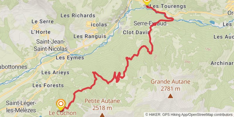
Starting at: Saint-Léger-les-Mélèzes, Gap, 05260
Ending at: Champoléon, Orcières, 05260
Distance: 13.5 km
Elevation gain: 673 m
Duration: 03:48:46
View on mapstage 18
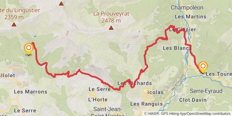
Starting at: Les Garnauds, Champoléon, Orcières
Ending at: Chaillol, Hautes-Alpes, 05260
Distance: 18.0 km
Elevation gain: 1674 m
Duration: 06:23:03
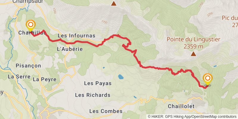
View on mapstage 19
stage 20
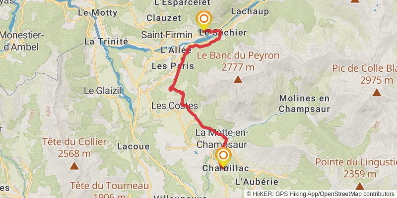
Starting at: Benevent-Et-Charbillac, Saint-Bonnet-en-Champsaur
Ending at: La Combe, Saint-Firmin, Hautes-Alpes, 05800
Distance: 13.3 km
Elevation gain: 411 m
Duration: 03:20:40
View on mapstage 21
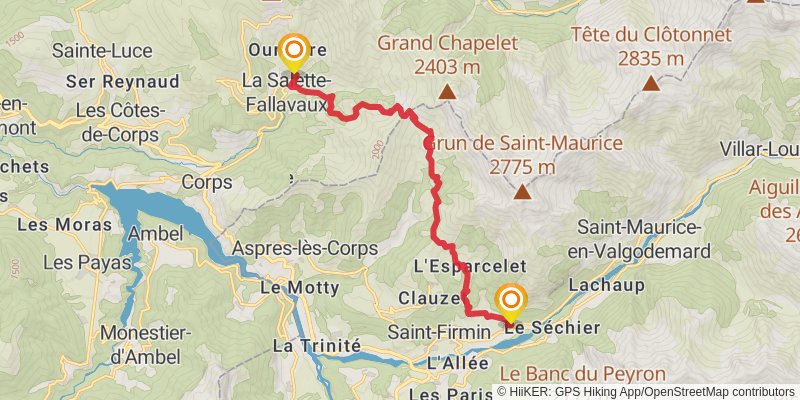
Starting at: Saint-Firmin, Gap, 05800
Ending at: La Salette-Fallavaux, corps, 38970
Distance: 15.0 km
Elevation gain: 1356 m
Duration: 05:15:47
View on mapstage 22
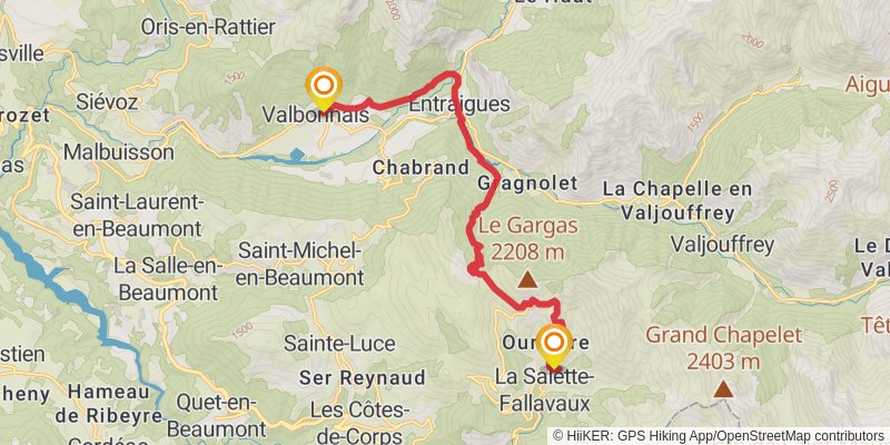
Starting at: La Salette-Fallavaux, Corps, 38970
Ending at: Siguret, Valbonnais, Isère, 38740
Distance: 16.8 km
Elevation gain: 1106 m
Duration: 05:11:53
View on mapstage 23
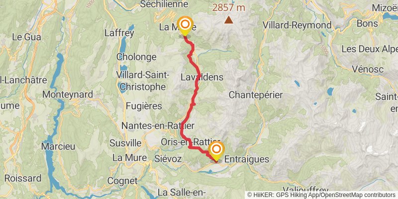
Starting at: Valbonnais, Valbonnais, 38740
Ending at: La Morte, Valbonnais, 38350
Distance: 19.6 km
Elevation gain: 1412 m
Duration: 06:16:26
View on mapstage 24
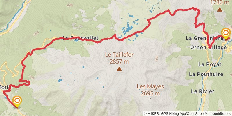
Starting at: La Morte, Valbonnais, 38350
Ending at: Ornon, Isère, 38520
Distance: 19.7 km
Elevation gain: 1203 m
Duration: 05:56:36
View on map