Download
Preview
Add to list
More
109.1 km
~8 days
7284 m
Multi-Day
“Embark on the GR 58 to traverse the enchanting French Queyras, blending natural wonders with cultural heritage.”
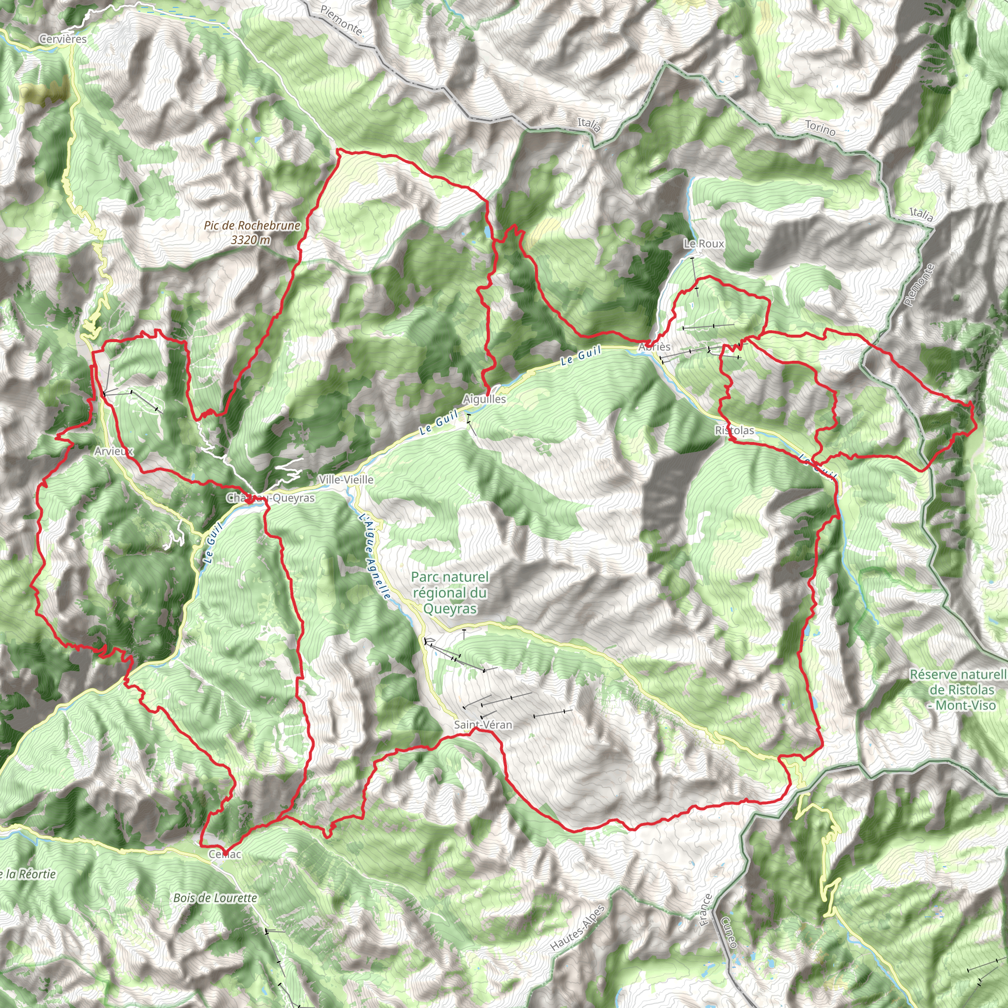
The GR 58, also known as Le Tour Du Queyras A Pied, is a spectacular loop trail that takes you through the heart of the French Queyras Regional Park. This trail, approximately 109 kilometers (68 miles) long, with an elevation gain of around 7200 meters (23622 feet), offers a medium difficulty rating and is a true delight for those who appreciate diverse landscapes and rich cultural history.
Starting near the quaint village of Aiguilles, France, hikers can easily access the trailhead by car or public transport. The nearest significant landmark to the trailhead is the town of Guillestre, which is well-connected by bus services from larger cities like Gap and Briançon. From Guillestre, local buses can take you to Aiguilles, where your adventure begins.
Navigating the Trail
As you embark on this journey, it's essential to have a reliable navigation tool. HiiKER is an excellent choice for this purpose, providing detailed maps and GPS coordinates to ensure you stay on the right path.
Landmarks and Scenery
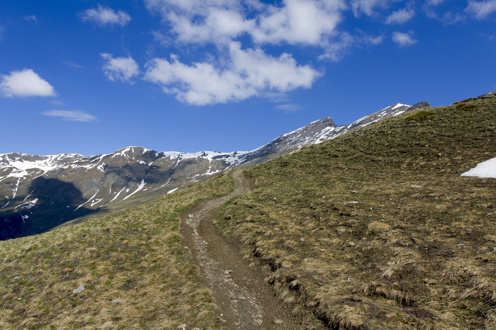
The GR 58 will lead you through a variety of terrains, from lush forests and alpine meadows to rocky passes and serene lakes. One of the first significant landmarks you'll encounter is the picturesque Ceillac, a village known for its traditional architecture and the nearby Lac Miroir, a stunning mountain lake.
Continuing on, you'll ascend to the Col Fromage at an elevation of 2305 meters (7562 feet), offering panoramic views of the surrounding peaks. The trail then takes you past the impressive Mont Viso, which, although located in Italy, dominates the skyline.
Wildlife and Nature
The Queyras Regional Park is home to an abundance of wildlife, including marmots, chamois, and eagles. The diverse flora along the trail changes with the elevation, ranging from pine and larch forests to alpine flowers like edelweiss.
Cultural and Historical Significance
The region is steeped in history, with remnants of old fortifications and traditional Queyras houses dotting the landscape. The trail passes through several villages where you can experience the local culture and history, such as Saint-Véran, one of the highest communes in Europe, known for its sundials and unique wooden fountains.
Preparation and Planning
Given the trail's length and elevation gain, it's advisable to plan for a multi-day hike, typically taking around 7 to 10 days to complete. There are refuges and gîtes along the route where you can rest and resupply. Ensure you have appropriate gear for varying weather conditions, as the high altitudes can bring about sudden changes.
Access to the Trail
To reach the trailhead near Aiguilles, if driving, you can park your car in the village and begin your hike. For those using public transport, regular buses from Guillestre to Aiguilles are available, especially during the hiking season.
Embarking on the GR 58 is an adventure that promises not only breathtaking natural beauty but also a deep connection with the history and culture of the Queyras region. With careful preparation and a spirit of exploration, hikers will find this trail to be a truly unforgettable experience.
Comments and Reviews
User comments, reviews and discussions about the GR 58 - Le Tour Du Queyras A Pied, France.
5.0
average rating out of 5
6 rating(s)

