Download
Preview
Add to list
More
24.2 km
~4 hrs 55 min
50 m
Loop
“Explore the Upper Tampa Bay Trail's diverse Floridian landscapes on a user-friendly 15-mile journey, teeming with wildlife and rich history.”
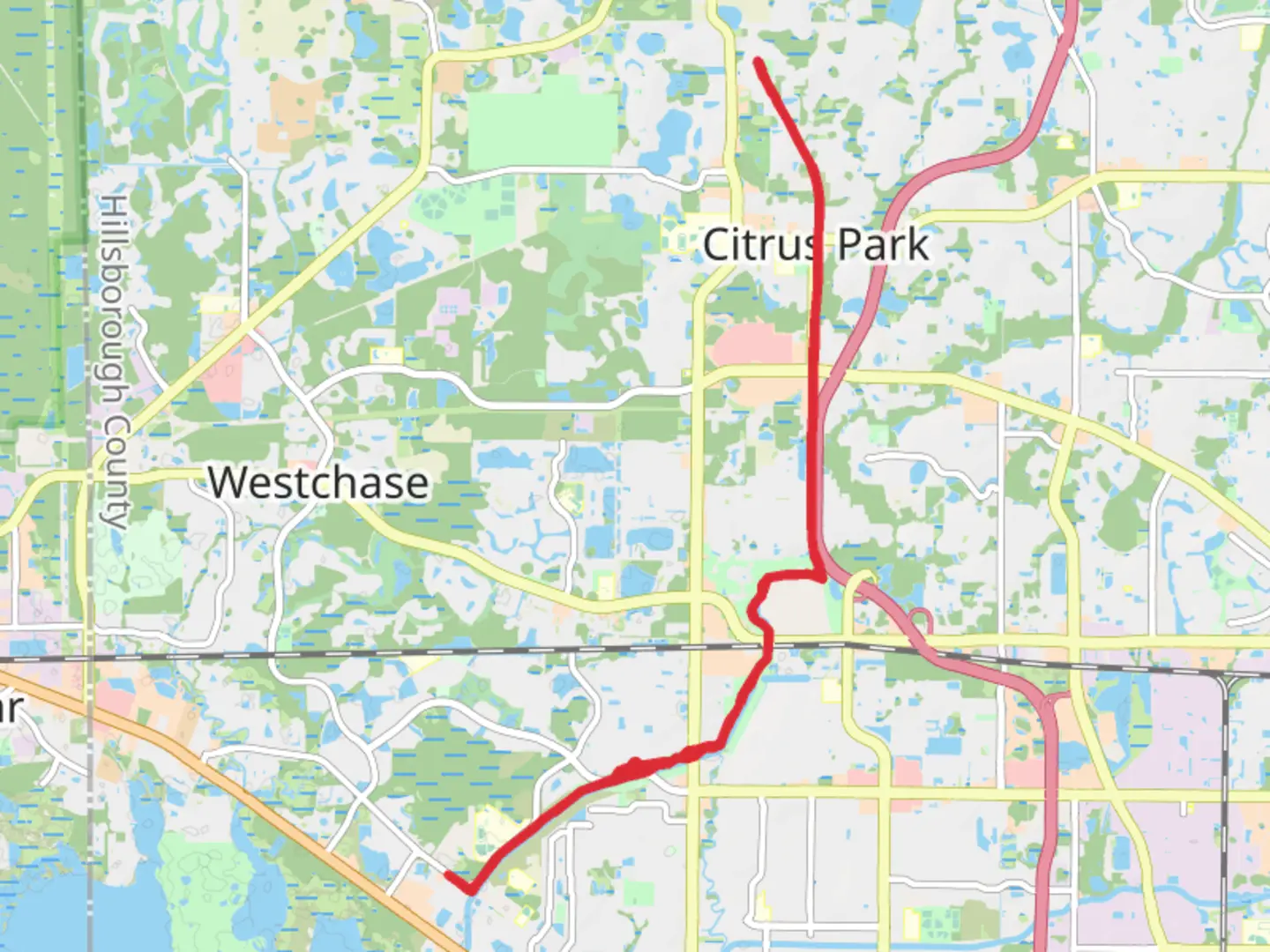
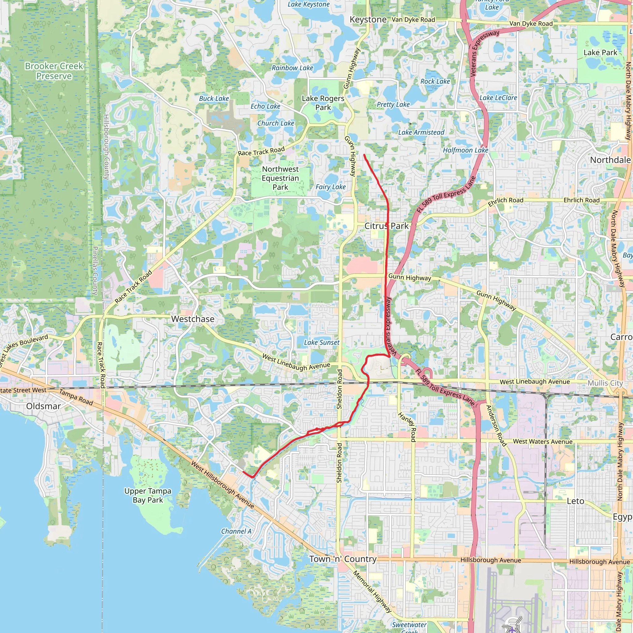
The Upper Tampa Bay Trail offers an immersive experience through a variety of Floridian landscapes, including suburban, industrial, and natural areas. Spanning approximately 24 kilometers (about 15 miles), this trail provides a flat, paved path that is perfect for hikers, cyclists, and rollerbladers alike. With virtually no elevation gain, it's accessible to enthusiasts of all skill levels, though the length gives it a medium difficulty rating.
Getting to the Trailhead
Located near Hillsborough County, Florida, the trailhead is easily accessible by car. For those driving, parking is available at the Channel Park Trailhead, 9201 W Waters Ave, Tampa, FL 33615, which serves as a good starting point. If you're using public transport, you can catch a bus to the vicinity and walk to the trailhead.
Navigating the Trail
As you embark on your journey, you can rely on HiiKER to help navigate the trail. The app provides detailed maps and waypoints, ensuring you won't miss any of the trail's highlights.
Natural Beauty and Wildlife
The Upper Tampa Bay Trail meanders through a variety of ecosystems, from shady pine flatwoods to sunny coastal marshes. You'll likely encounter a range of wildlife, including gopher tortoises, ospreys, and perhaps even an alligator sunning itself near a pond. The trail is also a haven for birdwatchers, with opportunities to spot herons, egrets, and various songbirds.
Landmarks and Historical Significance
As you progress along the trail, you'll pass by the historic Oldsmar and the area where citrus groves once flourished. The region's history is tied to the railroad industry, which played a crucial role in the development of Tampa Bay. Keep an eye out for interpretive signs that offer insights into the area's past.
Amenities and Points of Interest
The trail includes several rest areas with benches and water fountains, spaced out at convenient intervals. You'll find restrooms and picnic spots at the Montague Street Trailhead, around 6.4 kilometers (4 miles) from the start. Additionally, the trail intersects with several parks, including the Brooker Creek Preserve, where you can take a detour to explore more natural trails if you wish.
Safety and Preparation
Before setting out, ensure you have adequate water, sun protection, and a basic first aid kit. The Florida sun can be intense, even in shaded areas. It's also advisable to check the weather forecast and plan accordingly, as the trail offers limited shelter from rain.
Remember, the Upper Tampa Bay Trail is a shared space, so be mindful of other users and follow trail etiquette. Keep to the right, signal when passing, and enjoy the natural beauty of this Floridian gem.
What to expect?
Activity types
Comments and Reviews
User comments, reviews and discussions about the Upper Tampa Bay Trail, Florida.
4.54
average rating out of 5
26 rating(s)
