Download
Preview
Add to list
More
8.0 km
~2 hrs 22 min
471 m
Point-to-Point
“Experience varied landscapes, historical landmarks, and panoramic views on this 8 km trail from Colwall to Eastnor.”
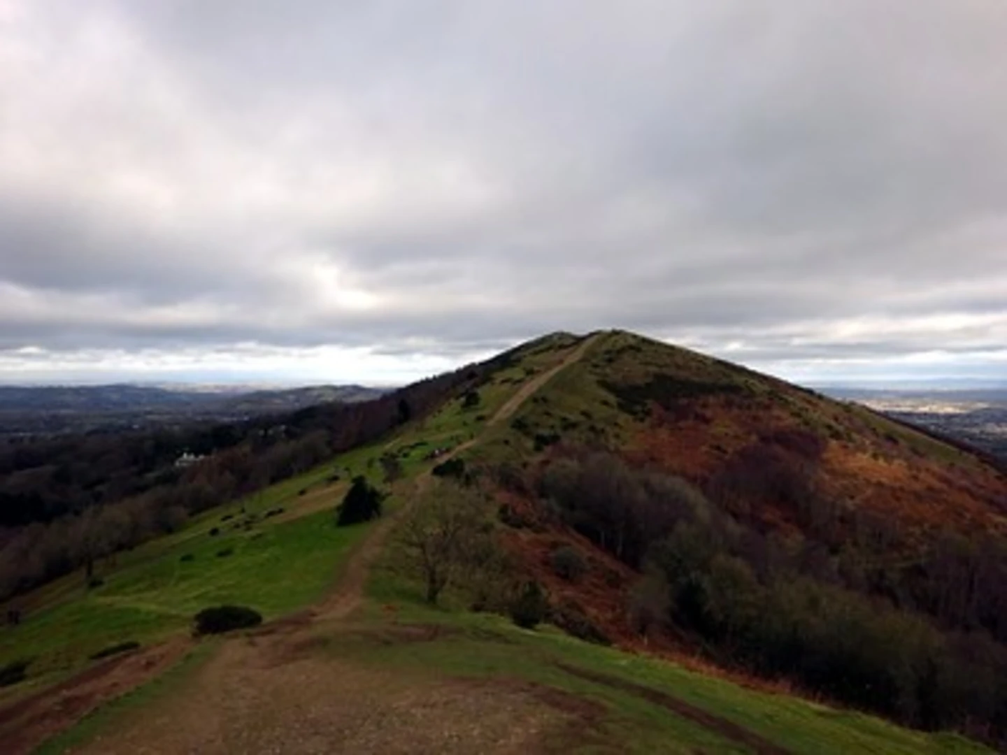
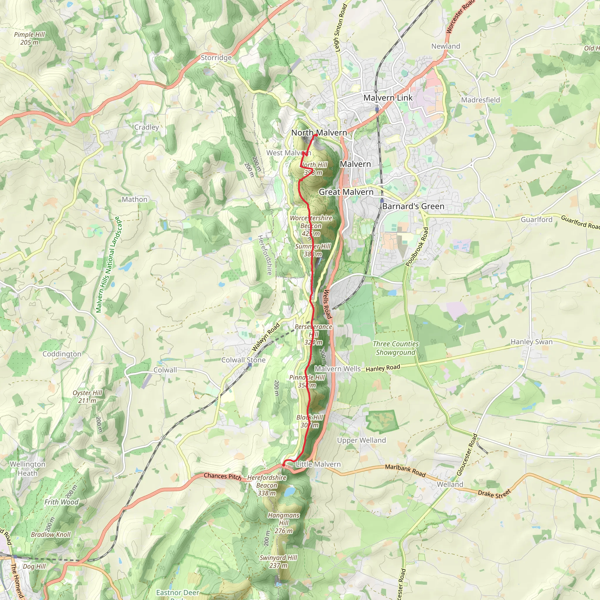
Starting near Worcestershire, England, this 8 km (approximately 5 miles) point-to-point trail offers a medium difficulty hike with an elevation gain of around 400 meters (about 1,312 feet). The trailhead is accessible by car or public transport. If driving, you can park near the village of Colwall, which is a convenient starting point. For those using public transport, Colwall railway station is well-connected and just a short walk from the trailhead.### Initial Ascent and ViewsThe hike begins with a steady ascent up Perseverance Hill. This initial climb is about 2 km (1.2 miles) and gains roughly 150 meters (492 feet) in elevation. As you make your way up, you'll be treated to panoramic views of the surrounding countryside, including the Malvern Hills. The terrain here is a mix of grassy paths and rocky sections, so sturdy footwear is recommended.### Flora and FaunaAs you continue, the trail meanders through a variety of landscapes, including woodlands and open fields. Keep an eye out for local wildlife such as deer, foxes, and a variety of bird species. The area is also rich in flora, with seasonal wildflowers adding splashes of color to the scenery. In spring and summer, you might spot bluebells and wild garlic in the shaded areas of the trail.### Historical SignificanceThe region is steeped in history, and you'll pass several landmarks that offer a glimpse into its past. One notable point is the Iron Age hill fort on British Camp, which is a short detour from the main trail. This ancient site provides not only historical context but also stunning views of the surrounding landscape.### Black Hill and Final DescentAfter reaching the summit of Perseverance Hill, the trail continues towards Black Hill. This section is about 3 km (1.8 miles) and involves a series of gentle ascents and descents, gaining another 100 meters (328 feet) in elevation. The path here is well-marked but can be narrow and uneven in places, so take care, especially in wet conditions.### Navigation and SafetyFor navigation, it's advisable to use the HiiKER app, which provides detailed maps and real-time updates. The trail is generally well-marked, but having a reliable navigation tool can help you stay on track, especially in the more remote sections.### Final StretchThe final stretch of the hike descends towards the village of Eastnor, covering the last 3 km (1.8 miles) and losing about 150 meters (492 feet) in elevation. This part of the trail is less strenuous and offers a pleasant walk through rolling fields and pastures. As you approach Eastnor, you'll pass by Eastnor Castle, a 19th-century mock castle that adds a touch of historical charm to the end of your hike.### Getting BackOnce you reach Eastnor, you can either arrange for a pickup or take a short walk to the nearest bus stop for public transport options back to Colwall or other nearby towns. If you parked your car in Colwall, a taxi or a pre-arranged shuttle can be a convenient way to return to your starting point.
What to expect?
Activity types
Comments and Reviews
User comments, reviews and discussions about the Perseverance Hill and Black Hill via Three Choirs Way, England.
average rating out of 5
0 rating(s)

