Land's End Trail trail stages
stage 1
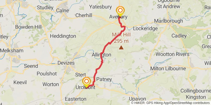
Starting at: Avebury, Wiltshire, SN8 1RE
Ending at: Urchfont, Wiltshire, SN10 4QL
Distance: 18.3 km
Elevation gain: 195 m
Duration: 03:59:27
View on mapstage 2

Starting at: Urchfont, Wiltshire, SN10 4QL
Ending at: Bratton Castle, Bratton, Wiltshire, BA13 4TA
Distance: 23.7 km
Elevation gain: 417 m
Duration: 05:26:35
View on mapstage 3
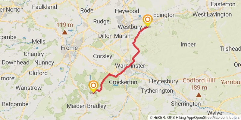
Starting at: Bratton, Wiltshire, BA13 4TA
Ending at: Horningsham, Wiltshire, BA12 7LX
Distance: 17.2 km
Elevation gain: 284 m
Duration: 03:55:20
View on mapstage 4
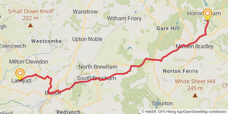
Starting at: Horningsham, Wiltshire, BA12 7LX
Ending at: Lamyatt, Somerset, BA4 6NH
Distance: 21.7 km
Elevation gain: 341 m
Duration: 04:54:21
View on mapstage 5
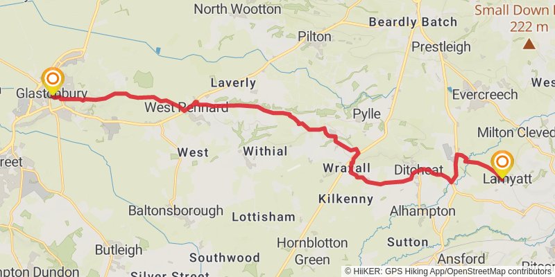
Starting at: Lamyatt, Mendip, Somerset, BA4 6NH
Ending at: Glastonbury, Somerset, BA6 8BT
Distance: 19.9 km
Elevation gain: 265 m
Duration: 04:25:33
View on mapstage 6

Starting at: Mendip, Somerset, BA6 8BT
Ending at: TA7 152, Chedzoy, Somerset, TA7 8RD
Distance: 20.8 km
Elevation gain: 178 m
Duration: 04:26:48
View on mapstage 7
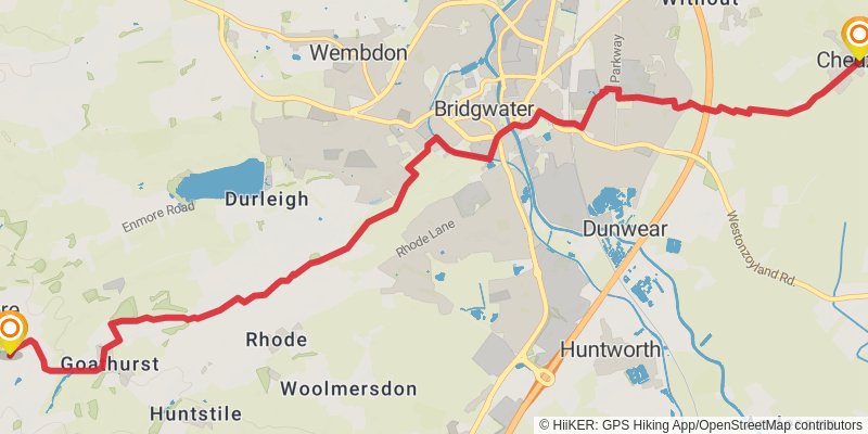
Starting at: Chedzoy, Sedgemoor, Somerset, TA7 8RD
Ending at: Secret Valley, Enmore, Somerset, TA5 2DW
Distance: 12.8 km
Elevation gain: 101 m
Duration: 02:44:03
View on mapstage 8
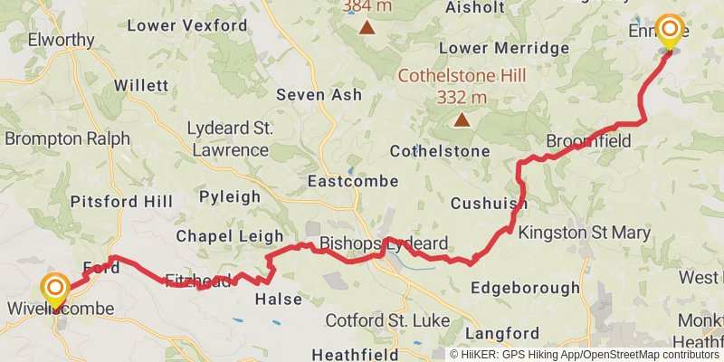
Starting at: Goathurst, Sedgemoor, Somerset, TA5 2EP
Distance: 24.6 km
Elevation gain: 486 m
Duration: 05:43:29
View on mapstage 9
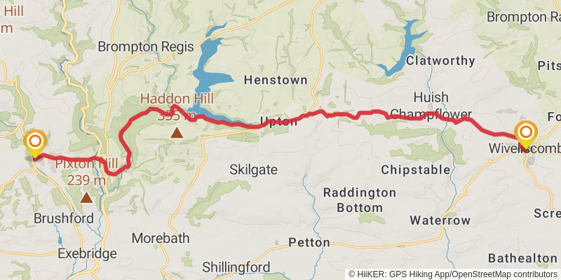
Ending at: ISIS, Dulverton, Somerset, TA22 9HJ
Distance: 21.1 km
Elevation gain: 606 m
Duration: 05:14:20
View on mapstage 10
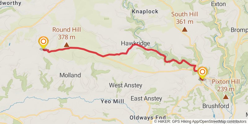
Starting at: Somerset West and Taunton, Somerset, TA22 9HJ
Ending at: North Devon, Devon, EX36 3LS
Distance: 15.9 km
Elevation gain: 497 m
Duration: 04:01:01
View on mapstage 11
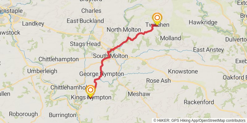
Starting at: Twitchen, North Devon, Devon, EX36 3LS
Ending at: North Devon, Devon, EX37 9SS
Distance: 20.9 km
Elevation gain: 456 m
Duration: 04:56:29
View on mapstage 12

Starting at: Kings Nympton, North Devon, Devon, EX37 9SS
Ending at: West Devon, Devon, EX20 2AH
Distance: 23.1 km
Elevation gain: 452 m
Duration: 05:22:08
View on mapstage 13
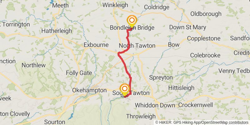
Starting at: Bondleigh Bridge, West Devon, Devon, EX20 2AH
Ending at: West Devon, Devon, EX20 2NR
Distance: 14.2 km
Elevation gain: 288 m
Duration: 03:18:59
View on mapstage 14
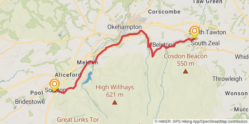
Starting at: Sticklepath, West Devon, Devon, EX20 2NR
Ending at: Forda, West Devon, Devon, EX20 4HL
Distance: 16.9 km
Elevation gain: 452 m
Duration: 04:08:20
View on mapstage 15
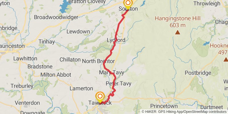
Starting at: Sourton, West Devon, Devon, EX20 4HL
Ending at: TSB, West Devon, Devon, PL19 0AG
Distance: 22.0 km
Elevation gain: 347 m
Duration: 04:58:18
View on mapstage 16
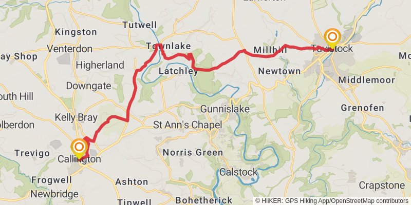
Starting at: West Devon, Devon, PL19 0AG
Ending at: Callington, Cornwall, PL17 7BA
Distance: 19.0 km
Elevation gain: 536 m
Duration: 04:41:38
View on mapstage 17
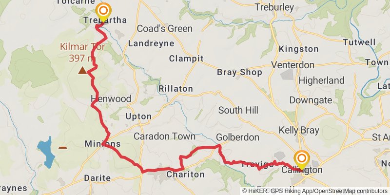
Starting at: Cornwall, PL17 7BA
Ending at: Trebartha, North Hill, Cornwall, PL15 7PD
Distance: 21.0 km
Elevation gain: 570 m
Duration: 05:09:28
View on mapstage 18
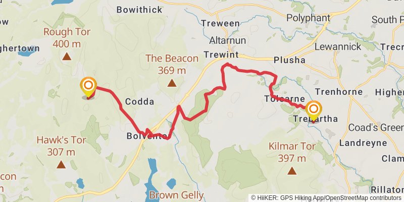
Starting at: North Hill, Cornwall, PL15 7PD
Ending at: Wheal Rosa, Temple, Cornwall, PL15 7TY
Distance: 19.4 km
Elevation gain: 536 m
Duration: 04:46:17
View on mapstage 19
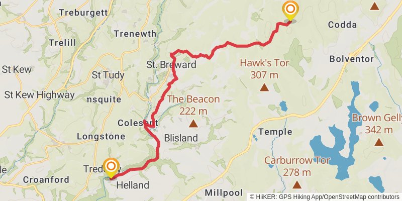
Starting at: Temple, Cornwall, PL15 7TY
Ending at: Hellandbridge, Cornwall, PL30 4QR
Distance: 16.9 km
Elevation gain: 171 m
Duration: 03:39:17
View on mapstage 20

Starting at: Hellandbridge, Cornwall, PL30 4QR
Ending at: Tregonetha, Cornwall, PL26 8NG
Distance: 19.3 km
Elevation gain: 433 m
Duration: 04:35:11
View on mapstage 21
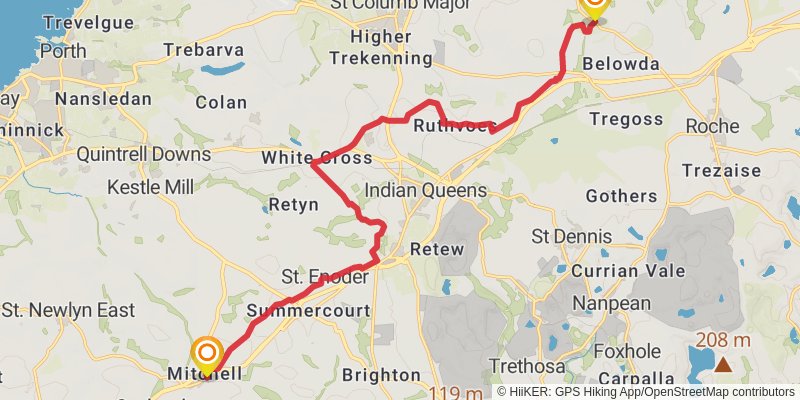
Starting at: Tregonetha, Cornwall, PL26 8NG
Ending at: St. Newlyn East, Cornwall, TR8 5AW
Distance: 19.2 km
Elevation gain: 195 m
Duration: 04:10:04
View on mapstage 22
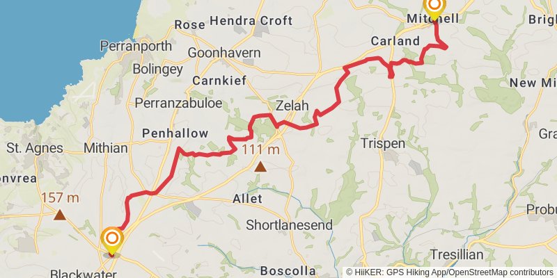
Starting at: St. Newlyn East, Cornwall, TR8 5AR
Ending at: Perranzabuloe, Cornwall, TR4 8HS
Distance: 21.3 km
Elevation gain: 356 m
Duration: 04:51:45
View on mapstage 23
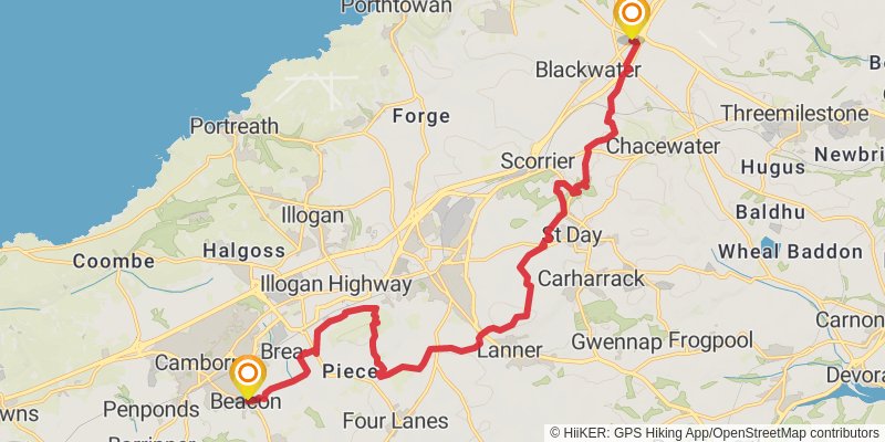
Starting at: Perranzabuloe, Cornwall, TR4 8HS
Ending at: Camborne, Cornwall, TR14 7SW
Distance: 19.3 km
Elevation gain: 395 m
Duration: 04:31:27
View on mapstage 24
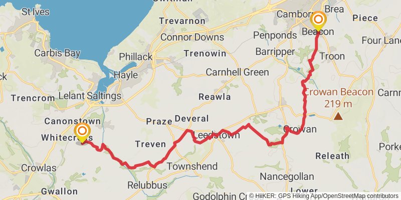
Starting at: Brea, Cornwall, TR14 7SF
Ending at: St Erth, Cornwall, TR27 6HD
Distance: 21.1 km
Elevation gain: 253 m
Duration: 04:38:01
View on mapstage 25
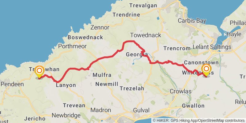
Starting at: St Erth, Cornwall, TR27 6HD
Ending at: Morvah, Cornwall, TR19 7TT
Distance: 18.3 km
Elevation gain: 369 m
Duration: 04:15:58
View on mapstage 26
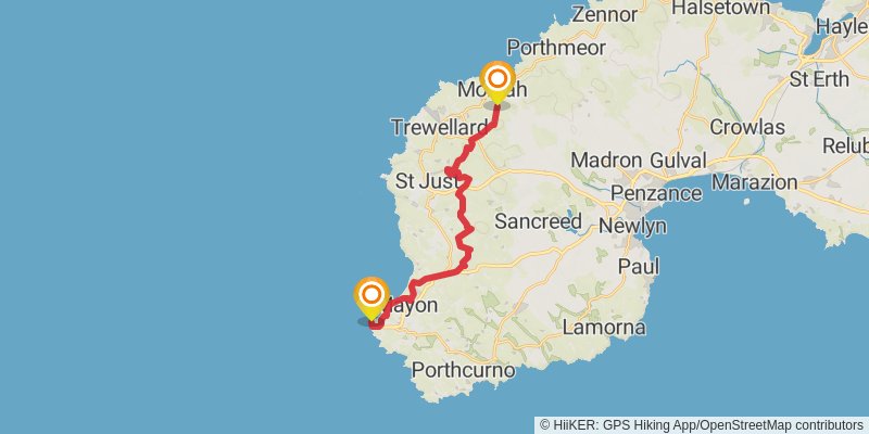
Starting at: Morvah, Cornwall, TR19 7TT
Distance: 17.9 km
Elevation gain: 297 m
Duration: 04:04:02
View on map