Download
Preview
Add to list
More
10.7 km
~2 hrs 24 min
159 m
Loop
“The Far Moor and Billinge Loop offers a scenic and moderately challenging 11 km hike through Wigan’s historic countryside.”
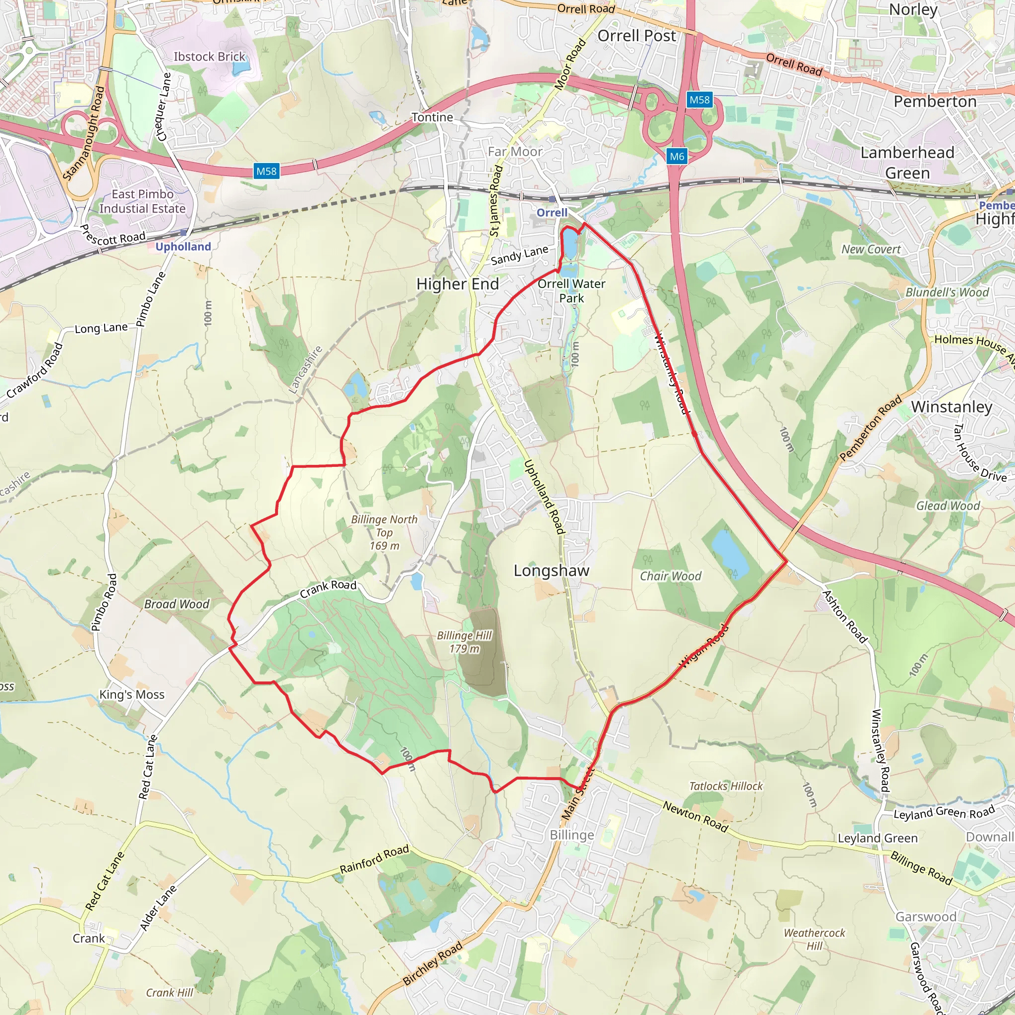
Starting near Wigan, England, the Far Moor and Billinge Loop is an 11 km (approximately 6.8 miles) trail with an elevation gain of around 100 meters (328 feet). This loop trail is rated as medium difficulty, making it suitable for moderately experienced hikers.
Getting There To reach the trailhead, you can drive or use public transport. If driving, set your GPS to the nearest known address: Wigan, England. For those using public transport, Wigan North Western and Wigan Wallgate railway stations are the closest. From either station, you can take a local bus or taxi to the trailhead.
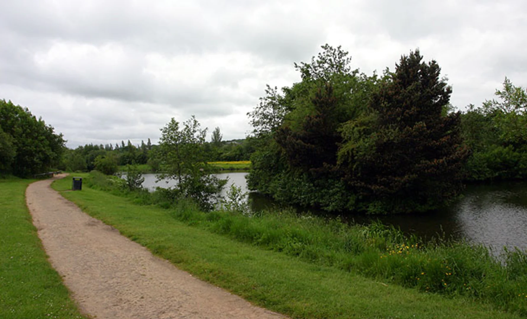
Trail Overview The trail begins near Wigan and quickly immerses you in the serene English countryside. The initial part of the hike is relatively flat, allowing you to ease into the journey. As you progress, the trail gradually ascends, offering a gentle but steady climb.
Key Landmarks and Points of Interest - **Far Moor**: Around the 3 km (1.9 miles) mark, you'll reach Far Moor. This area is known for its open landscapes and offers a great spot for a short break. The moorland is home to various bird species, so keep your binoculars handy. - **Billinge Hill**: At approximately 5 km (3.1 miles), you'll encounter Billinge Hill, the highest point in the area. The elevation gain here is about 100 meters (328 feet), providing panoramic views of the surrounding countryside. On a clear day, you can see as far as the Welsh mountains and the Pennines. - **Billinge Beacon**: Near the summit of Billinge Hill, you'll find Billinge Beacon, a historical landmark. This beacon was historically used as a signal point during times of war. It's a great spot for a photo and a brief history lesson.
Flora and Fauna The trail is rich in biodiversity. In the woodland sections, you might spot deer, foxes, and a variety of bird species. The moorland areas are home to heather, gorse, and wildflowers, especially vibrant in the spring and summer months.
Navigation Given the loop nature of the trail, navigation is straightforward, but it's always wise to have a reliable map. The HiiKER app is an excellent tool for this trail, providing detailed maps and real-time GPS tracking to ensure you stay on course.
Historical Significance The region around Wigan has a rich history dating back to Roman times. The trail itself passes through areas that were once significant during the Industrial Revolution. Wigan was a hub for coal mining and textile manufacturing, and remnants of this industrial past can still be seen along the trail.
Practical Tips - **Footwear**: Given the mixed terrain, sturdy hiking boots are recommended. - **Weather**: The weather can be unpredictable, so pack a waterproof jacket. - **Supplies**: Bring enough water and snacks, as there are limited facilities along the trail. - **Wildlife**: Respect the local wildlife and keep a safe distance from any animals you encounter.
This trail offers a blend of natural beauty, historical landmarks, and moderate physical challenge, making it a rewarding experience for those who undertake it.
What to expect?
Activity types
Comments and Reviews
User comments, reviews and discussions about the Far Moor and Billinge Loop, England.
4.67
average rating out of 5
3 rating(s)

