Download
Preview
Add to list
More
20.3 km
~1 day 1 hrs
1198 m
Loop
“Embark on a 20 km adventure from Troutbeck, featuring stunning views, historical charm, and diverse terrain.”
Starting near the picturesque village of Troutbeck in Westmorland and Furness, England, this loop trail spans approximately 20 km (12.4 miles) with an elevation gain of around 1100 meters (3609 feet). The trailhead is conveniently accessible by car, with parking available near the village. For those using public transport, the nearest significant landmark is Windermere Railway Station, from where you can catch a local bus or taxi to Troutbeck.
Initial Ascent and Troutbeck Tongue
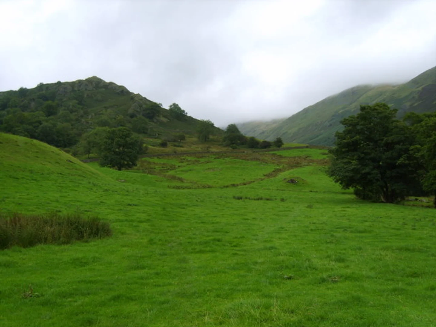
The hike begins with a gentle ascent through lush meadows and past traditional stone walls, typical of the Lake District. As you approach Troutbeck Tongue, the terrain becomes steeper, offering panoramic views of the Troutbeck Valley. This section is approximately 4 km (2.5 miles) into the hike, with an elevation gain of about 300 meters (984 feet). The summit of Troutbeck Tongue provides a perfect spot for a short break, with views of the surrounding fells and valleys.
Stony Cove Pike
Continuing from Troutbeck Tongue, the trail leads you towards Stony Cove Pike. This section is more challenging, with rocky paths and steeper inclines. The ascent to Stony Cove Pike is around 5 km (3.1 miles) from Troutbeck Tongue, with an additional elevation gain of 400 meters (1312 feet). The summit offers breathtaking views of the Kentmere Valley and the distant peaks of the Lake District.
Froswick and Ill Bell
From Stony Cove Pike, the trail descends slightly before climbing again towards Froswick. This part of the hike is less strenuous, with a gradual ascent over 3 km (1.9 miles) and an elevation gain of 200 meters (656 feet). Froswick's summit provides stunning vistas of the surrounding fells and the shimmering waters of Windermere in the distance.
The final significant climb is to Ill Bell, a prominent peak with a distinctive conical shape. The ascent from Froswick to Ill Bell is about 2 km (1.2 miles) with an elevation gain of 200 meters (656 feet). The summit of Ill Bell is marked by a large cairn and offers 360-degree views, making it a highlight of the hike.
Descent and Return to Troutbeck
The descent from Ill Bell back to Troutbeck is a gradual one, covering approximately 6 km (3.7 miles). The path winds through grassy slopes and past small tarns, eventually leading back to the village. This section is less demanding, allowing you to enjoy the serene landscape and perhaps spot some local wildlife, such as red deer or peregrine falcons.
Historical Significance
The region around Troutbeck is steeped in history, with evidence of ancient settlements and Roman roads. The village itself is known for its well-preserved 17th-century cottages and the historic Jesus Church, which dates back to the 16th century. The traditional dry stone walls and farmsteads you pass along the trail are a testament to the area's rich agricultural heritage.
Navigation and Safety
Given the varied terrain and potential for rapidly changing weather conditions, it's advisable to use a reliable navigation tool like HiiKER to stay on track. Ensure you are well-prepared with appropriate clothing, footwear, and supplies, as some sections of the trail can be quite exposed and challenging.
This loop trail offers a perfect blend of natural beauty, physical challenge, and historical intrigue, making it a rewarding experience for hikers of all levels.
What to expect?
Activity types
Comments and Reviews
User comments, reviews and discussions about the Troutbeck Tongue, Stony Cove Pike, Froswick and Ill Bell Loop, England.
4.5
average rating out of 5
4 rating(s)

