Pooley Bridge to Howtown Loop via Arthur's Pike and Bonscale Pike - Ullswater
Download
Preview
Add to list
More
14.2 km
~3 hrs 41 min
513 m
Loop
“Embark on a scenic 14-km hike through history and nature, culminating in breathtaking views atop Arthur's Pike and Bonscale Pike.”
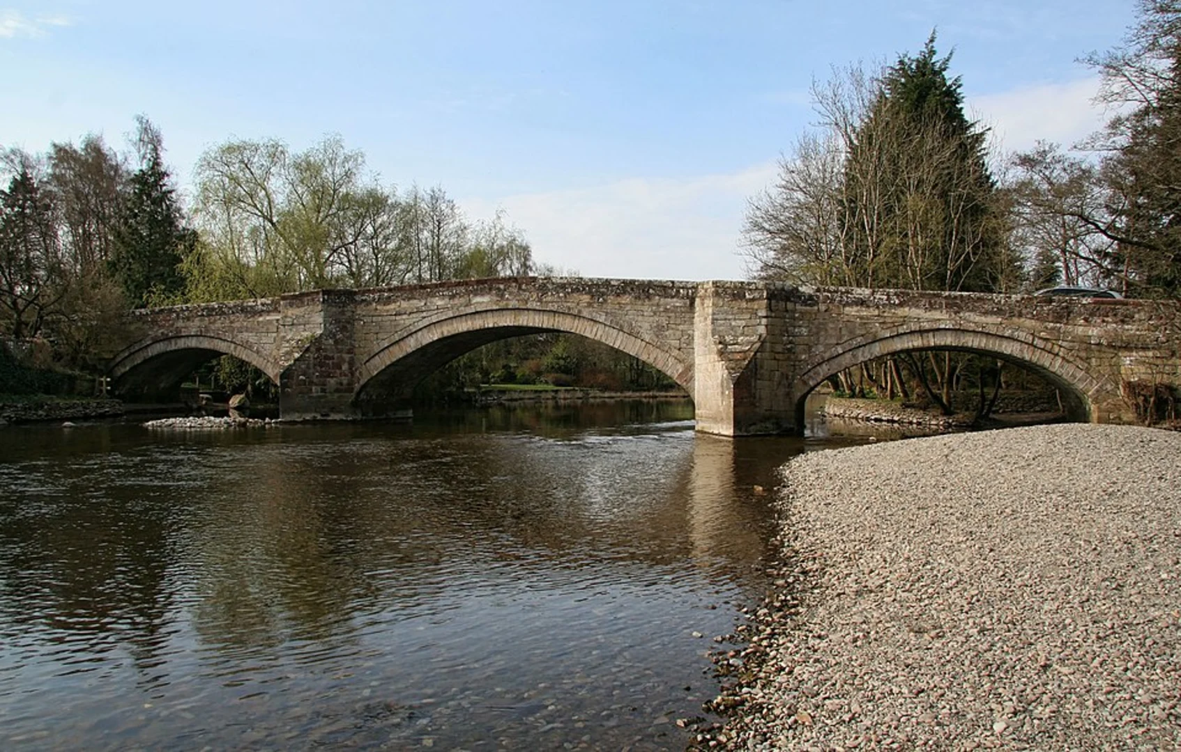
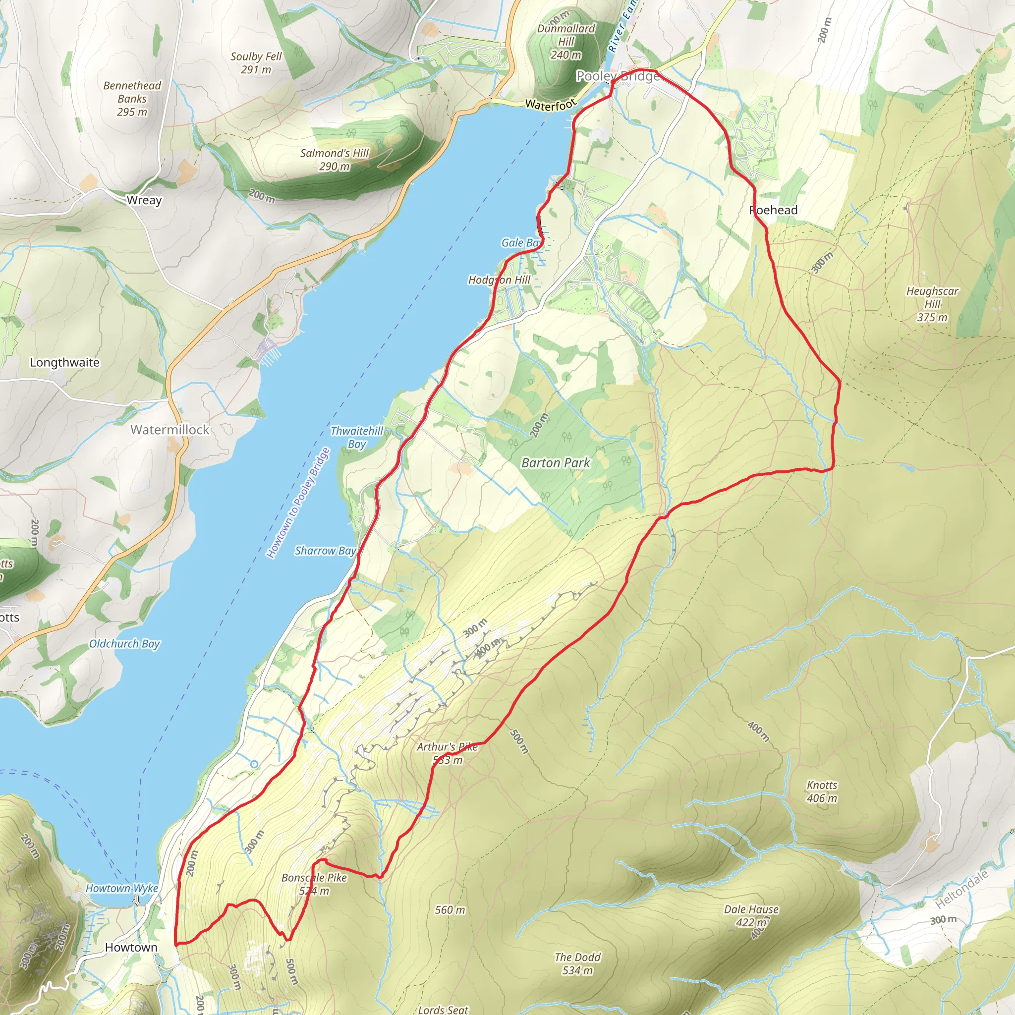
Embarking on the Pooley Bridge to Howtown Loop, hikers will traverse approximately 14 kilometers (about 8.7 miles) of varied terrain with an elevation gain of around 500 meters (approximately 1640 feet). This loop trail, rated medium in difficulty, offers a rewarding experience with stunning views of Ullswater and the surrounding fells.### Getting to the Trailhead The trailhead is conveniently located near the village of Pooley Bridge, which lies at the northern end of Ullswater in the newly formed Westmorland and Furness unitary authority area. For those arriving by car, Pooley Bridge is accessible via the B5320, and parking is available in the village. Public transport users can take advantage of the local bus services that connect Penrith and surrounding towns to Pooley Bridge.### The Ascent to Arthur's Pike From the trailhead, hikers will begin their ascent towards Arthur's Pike, a fell that stands as a sentinel over Ullswater. The initial climb is steady, taking walkers through fields and along well-defined paths. After covering roughly 3.5 kilometers (just over 2 miles), you'll reach Arthur's Pike, standing at an elevation of 532 meters (1745 feet). The summit offers panoramic views of the lake and the Helvellyn range.### Historical Significance and Wildlife The area is steeped in history, with Arthur's Pike rumored to be named after the legendary King Arthur. The surrounding landscape is dotted with ancient settlements and stone circles, hinting at a rich human past stretching back to the Bronze Age.As you continue your hike, keep an eye out for the diverse wildlife that inhabits the area. Red deer, the occasional red squirrel, and a variety of bird species, including the peregrine falcon, can be spotted. The flora is equally impressive, with heather-clad moorland and the delicate blooms of wildflowers in the spring and summer months.### Bonscale Pike and the Descent After Arthur's Pike, the trail meanders towards Bonscale Pike, which lies about 2 kilometers (1.2 miles) to the southwest. At 524 meters (1719 feet), Bonscale Pike offers another vantage point to admire Ullswater and the surrounding fells.The descent from Bonscale Pike towards Howtown is gentle, with the path winding through grassy slopes and past ancient cairns. Upon reaching Howtown, you can enjoy a lakeside walk as you complete the loop back to Pooley Bridge. This final stretch is relatively flat and provides a tranquil conclusion to the hike.### Navigation and Preparation Hikers are advised to use the HiiKER app for navigation, as it provides detailed maps and trail information that can be invaluable, especially in areas where the path is less distinct. The weather in the Lake District can change rapidly, so it's essential to be prepared with appropriate clothing, waterproof gear, and sufficient food and water.Remember to respect the natural environment by sticking to the paths, taking all litter home, and being considerate of wildlife and other trail users. With the right preparation and a sense of adventure, the Pooley Bridge to Howtown Loop via Arthur's Pike and Bonscale Pike offers an unforgettable hiking experience in the heart of the Lake District.
What to expect?
Activity types
Comments and Reviews
User comments, reviews and discussions about the Pooley Bridge to Howtown Loop via Arthur's Pike and Bonscale Pike - Ullswater, England.
4.75
average rating out of 5
4 rating(s)
