Download
Preview
Add to list
More
20.4 km
~1 day 1 hrs
1334 m
Loop
“Embark on a scenic 20 km loop from Rydal Hall, blending natural beauty, history, and moderate challenge.”
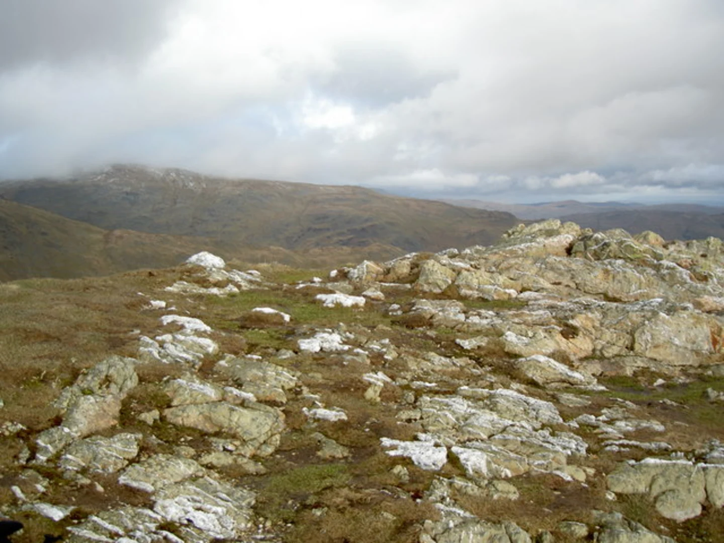
Starting your adventure near the picturesque village of Rydal in Westmorland and Furness, England, this loop trail covers approximately 20 km (12.4 miles) with an elevation gain of around 1300 meters (4265 feet). The trailhead is conveniently located near Rydal Hall, a historic estate that offers a perfect starting point for your hike.### Getting There To reach the trailhead, you can either drive or use public transport. If driving, Rydal Hall has a car park where you can leave your vehicle. For those using public transport, the nearest train station is Windermere, about 7 miles (11 km) away. From Windermere, you can take a bus to Rydal, with services running regularly.### Trail Overview The loop trail takes you through a variety of terrains, including rugged mountain paths, serene valleys, and scenic ridgelines. The trail is rated as medium difficulty, making it suitable for hikers with a moderate level of fitness.### Key Sections and Landmarks#### Rydal to Heron Pike Starting from Rydal Hall, the initial ascent takes you through lush woodlands and open fields. After about 3 km (1.9 miles) and an elevation gain of 300 meters (984 feet), you will reach Heron Pike. This section offers stunning views of Rydal Water and Grasmere Lake.#### Heron Pike to Great Rigg Continuing along the ridgeline, the trail leads you to Great Rigg, approximately 2 km (1.2 miles) further along. The elevation gain here is around 200 meters (656 feet). This part of the trail is relatively exposed, so be prepared for windy conditions.#### Great Rigg to Fairfield From Great Rigg, the path ascends steeply to Fairfield, the highest point on the trail at 873 meters (2864 feet). This section covers about 1.5 km (0.9 miles) with an elevation gain of 373 meters (1224 feet). Fairfield offers panoramic views of the Lake District, including Helvellyn and Scafell Pike.#### Fairfield to Red Screes Descending from Fairfield, the trail takes you towards Red Screes. This section is about 4 km (2.5 miles) long and involves a descent of 300 meters (984 feet) followed by a climb of 200 meters (656 feet). The terrain here is rocky, so watch your footing.#### Red Screes to Rydal The final leg of the journey takes you back to Rydal, covering approximately 9 km (5.6 miles) with a descent of 500 meters (1640 feet). This section passes through Kirkstone Pass, a historic route used since Roman times. The descent offers beautiful views of Windermere and Ambleside.### Nature and Wildlife The trail is rich in flora and fauna. Keep an eye out for red deer, red squirrels, and a variety of bird species, including peregrine falcons and golden eagles. The diverse plant life includes heather, bilberry, and various types of ferns.### Historical Significance Rydal Hall itself is steeped in history, dating back to the 16th century. The surrounding area has been a source of inspiration for poets like William Wordsworth, who lived nearby. Kirkstone Pass has historical significance as a Roman route, adding a layer of historical intrigue to your hike.### Navigation Given the varied terrain and potential for rapidly changing weather conditions, it's advisable to use a reliable navigation tool like HiiKER to ensure you stay on track.This loop trail offers a blend of natural beauty, historical significance, and physical challenge, making it a rewarding experience for any hiker.

What to expect?
Activity types
Comments and Reviews
User comments, reviews and discussions about the Heron Pike, Great Rigg, Fairfield and Red SCrees Loop - Rydal, England.
4.0
average rating out of 5
1 rating(s)