Download
Preview
Add to list
More
19.1 km
~4 hrs 16 min
269 m
Loop
“Explore stunning coastal and countryside scenery on this 19 km medium-difficulty loop trail near Westmorland and Furness.”
Starting near Westmorland and Furness in England, this 19 km (approximately 11.8 miles) loop trail offers a delightful mix of coastal and countryside scenery. With an elevation gain of around 200 meters (656 feet), the trail is rated as medium difficulty, making it suitable for moderately experienced hikers.
Getting There To reach the trailhead, you can drive and park near the village of Canal Foot. If you prefer public transport, the nearest train station is Ulverston, which is well-connected to major cities like Manchester and Liverpool. From Ulverston, you can take a local bus or a short taxi ride to Canal Foot.
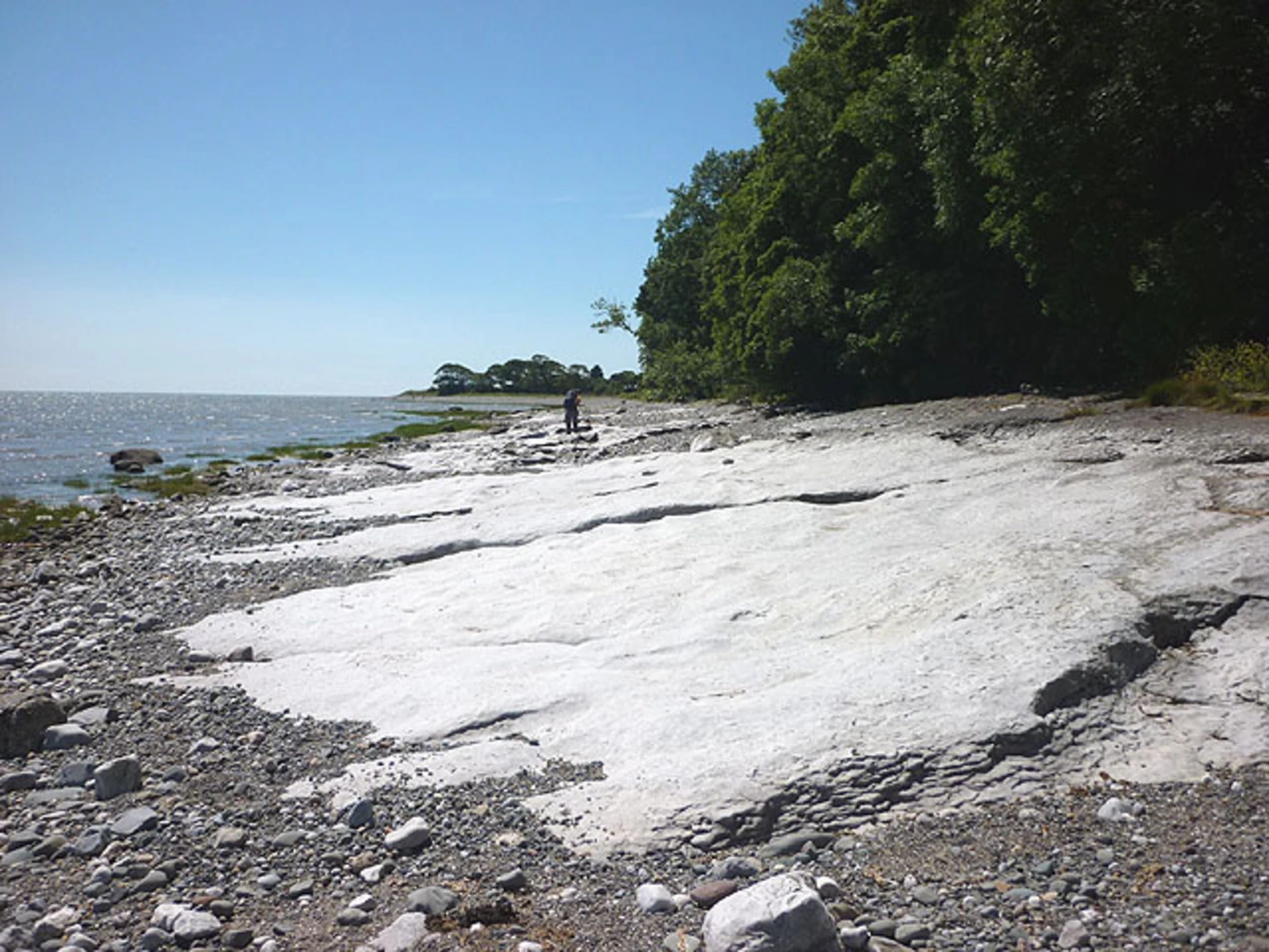
Trail Overview The trail begins at Canal Foot, a picturesque spot along the Leven Estuary. As you start your hike, you'll follow the estuary's edge, offering stunning views of the water and the surrounding landscape. This initial section is relatively flat, making it a gentle introduction to the hike.
Key Landmarks and Sections #### Canal Foot to Bardsea After about 3 km (1.9 miles), you'll reach the village of Bardsea. This quaint village is worth a short detour to explore its charming streets and perhaps visit the local pub for a quick refreshment. The trail then takes you inland, where you'll encounter a gradual ascent.
#### Bardsea to Baycliff Continuing for another 5 km (3.1 miles), you'll arrive at Baycliff. This section of the trail offers a mix of open fields and woodland, providing a diverse range of flora and fauna. Keep an eye out for local wildlife, including various bird species and small mammals. Baycliff itself is a small village with a rich history, including remnants of ancient settlements.
#### Baycliff to Birkrigg Common From Baycliff, the trail heads towards Birkrigg Common, a highlight of the hike. This area is known for its prehistoric stone circle, dating back to the Bronze Age. The common also offers panoramic views of Morecambe Bay and the surrounding countryside. This section involves a moderate climb, adding to the overall elevation gain of the hike.
Navigation and Safety Given the varied terrain, it's advisable to use a reliable navigation tool like HiiKER to stay on track. The trail is generally well-marked, but having a digital map can be very helpful, especially in the more remote sections.
Flora and Fauna Throughout the hike, you'll encounter a variety of plant life, from coastal grasses near the estuary to woodland species in the inland sections. Wildlife enthusiasts will appreciate the diversity of birds, including waders and songbirds, as well as occasional sightings of deer and other small mammals.
Historical Significance The region is steeped in history, from the ancient stone circle at Birkrigg Common to the historical villages along the route. Bardsea and Baycliff have roots that go back centuries, offering a glimpse into England's rural past.
Final Stretch The final leg of the hike brings you back towards Canal Foot, completing the loop. This section is mostly downhill or flat, providing a relaxing end to your journey. As you approach the estuary again, take a moment to enjoy the serene views before concluding your hike.
This trail offers a well-rounded experience, combining natural beauty, historical landmarks, and a moderate physical challenge. Whether you're a seasoned hiker or looking to explore more of England's countryside, this loop trail is a rewarding choice.

What to expect?
Activity types
Comments and Reviews
User comments, reviews and discussions about the Canal Foot, Bardsea and Baycliff Loop, England.
4.0
average rating out of 5
1 rating(s)