Download
Preview
Add to list
More
8.7 km
~3 hrs 26 min
1020 m
Loop
“The Blencathra and Scales Tarn Circular Hike is a scenic, challenging 9 km loop with historical intrigue.”
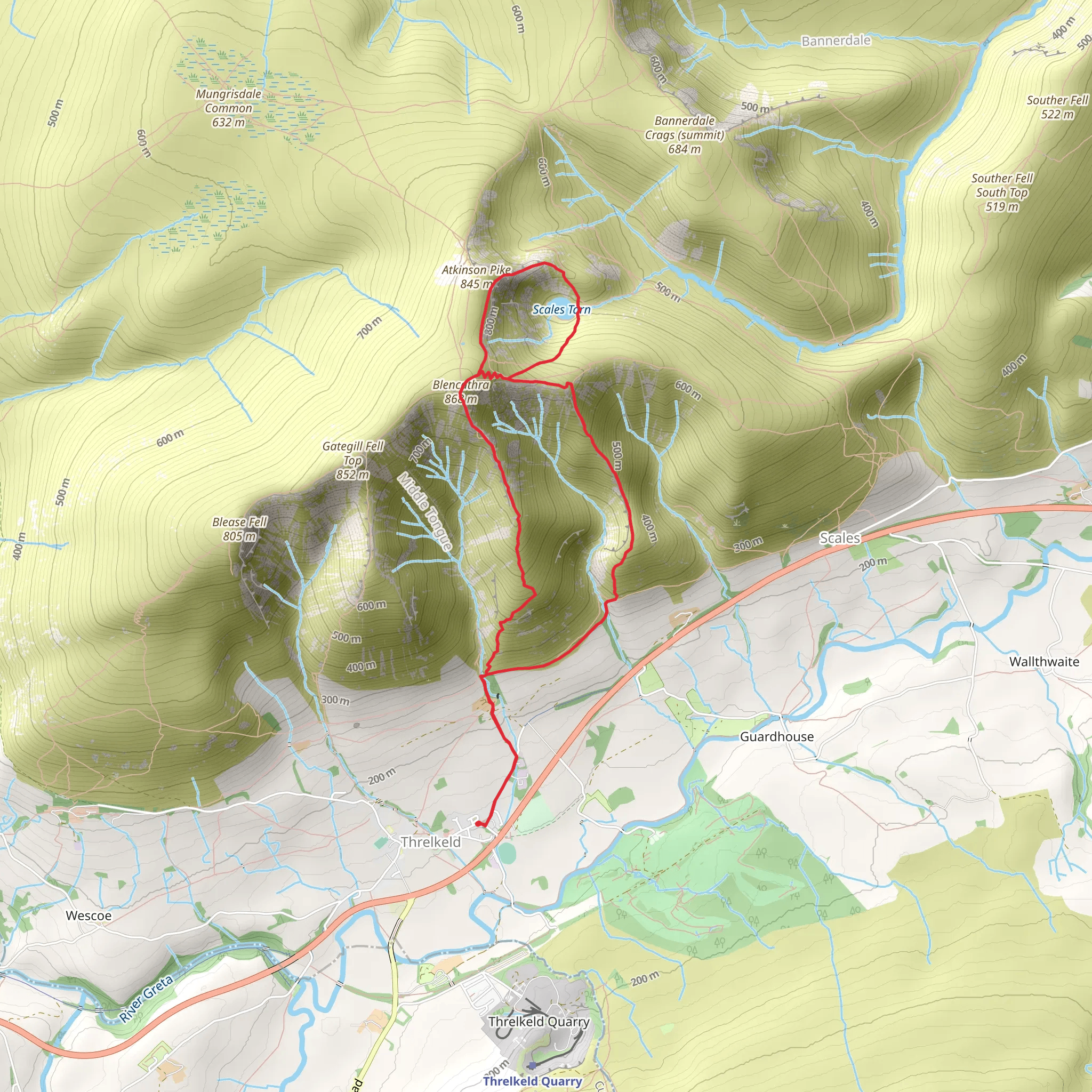
Starting your adventure near Westmorland and Furness, England, the Blencathra and Scales Tarn Circular Hike is a captivating loop trail that spans approximately 9 km (5.6 miles) with an elevation gain of around 1000 meters (3280 feet). This medium-difficulty hike offers a blend of natural beauty, historical significance, and challenging terrain.
Getting There To reach the trailhead, you can drive or use public transport. If driving, head towards the village of Threlkeld, which is the nearest significant landmark. There is parking available near the village. For those using public transport, the nearest train station is Penrith, from where you can take a bus or taxi to Threlkeld.
Trail Overview The hike begins with a gradual ascent from Threlkeld, leading you through lush meadows and past traditional stone walls. As you climb, the terrain becomes steeper, and you will encounter rocky paths that require careful footing. The initial 2 km (1.2 miles) will see you gaining about 300 meters (984 feet) in elevation.
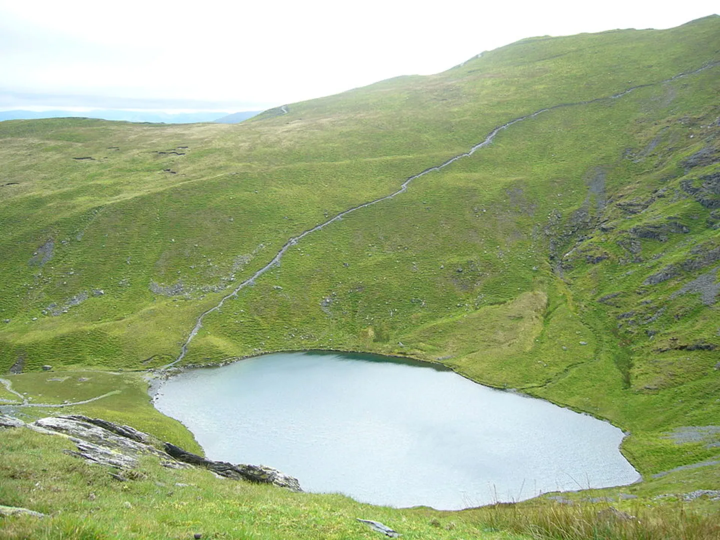
Scales Tarn At approximately 3 km (1.9 miles) into the hike, you will reach Scales Tarn, a serene mountain lake nestled in a glacial corrie. This is an excellent spot to take a break and enjoy the stunning views. The tarn is surrounded by rugged cliffs and offers a peaceful respite before the more challenging ascent to Blencathra.
Ascent to Blencathra From Scales Tarn, the trail becomes more demanding as you approach the summit of Blencathra. The next 2 km (1.2 miles) involve a steep climb, gaining around 500 meters (1640 feet) in elevation. The path here can be narrow and rocky, so caution is advised. The summit, also known as Saddleback, offers panoramic views of the Lake District and beyond. On a clear day, you can see as far as the Scottish Borders.
Historical Significance Blencathra has a rich history, with its name derived from the Old Norse "Blenk" meaning "top" and "Cathra" meaning "seat." The mountain has been a significant landmark for centuries, and its dramatic landscape has inspired poets and writers, including Alfred Wainwright, who dedicated an entire chapter to it in his famous guidebooks.
Descent and Return The descent from Blencathra takes you along a different path, completing the loop. The first part of the descent is steep and requires careful navigation. After about 1.5 km (0.9 miles), the trail levels out, and you will pass through grassy slopes and heather-covered moorlands. The final 2.5 km (1.6 miles) of the hike are relatively gentle, leading you back to Threlkeld.
Wildlife and Flora Throughout the hike, keep an eye out for local wildlife, including red squirrels, peregrine falcons, and various species of butterflies. The area is also rich in flora, with heather, bilberry, and various wildflowers adding splashes of color to the landscape.
Navigation Given the challenging terrain and potential for rapidly changing weather conditions, it is advisable to use a reliable navigation tool like HiiKER to ensure you stay on track. The app provides detailed maps and real-time updates, which can be invaluable in this rugged environment.
This hike offers a rewarding experience for those prepared to tackle its challenges, providing a mix of natural beauty, historical intrigue, and physical exertion.
What to expect?
Activity types
Comments and Reviews
User comments, reviews and discussions about the Blencathra and Scales Tarn Circular Hike, England.
4.57
average rating out of 5
7 rating(s)

