Download
Preview
Add to list
More
10.2 km
~2 hrs 5 min
32 m
Loop
“The Tangmere Country Park trail offers a scenic, history-rich 10 km loop perfect for moderate-level hikers.”
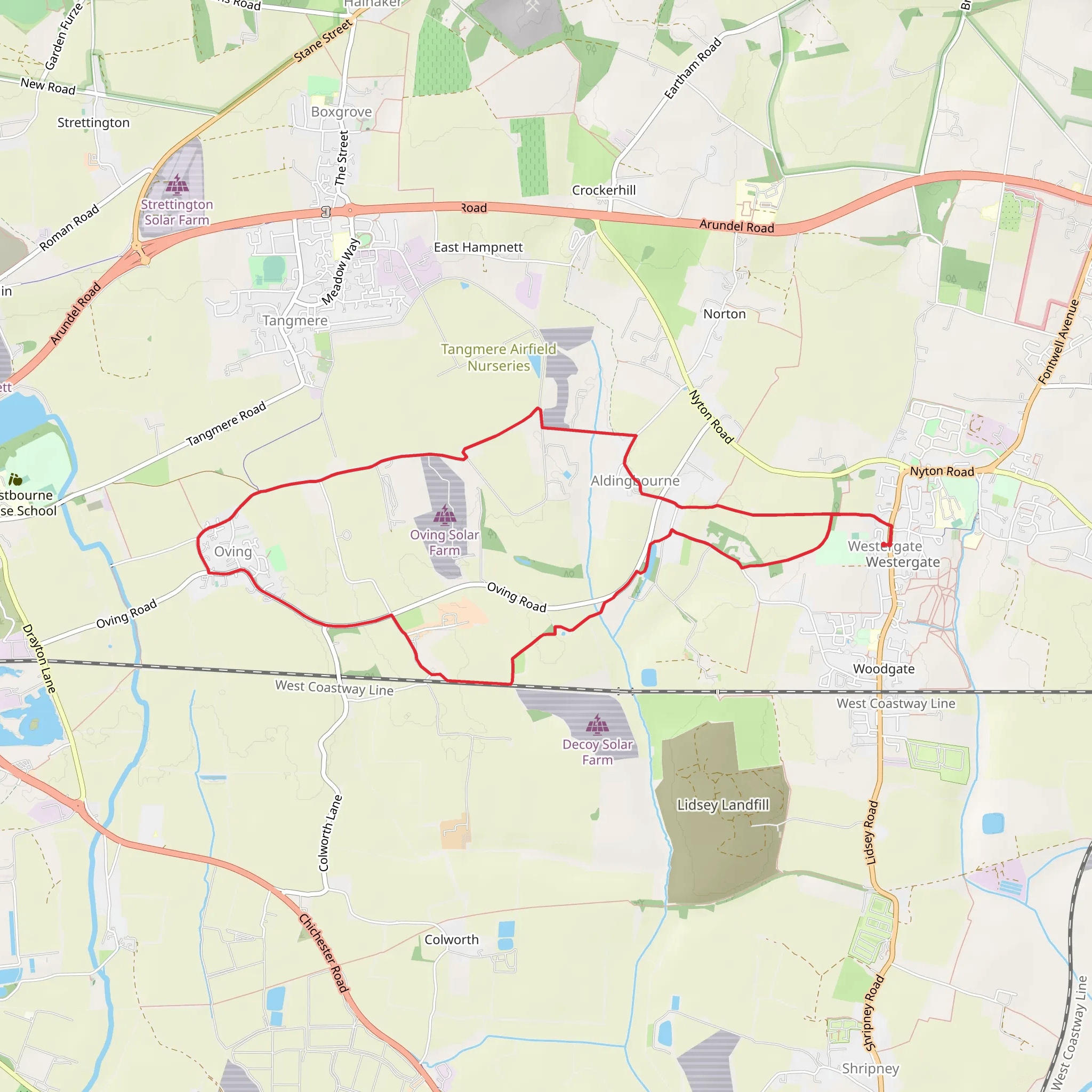
Starting near West Sussex, England, the Tangmere Country Park trail is a delightful 10 km (6.2 miles) loop that offers a moderate challenge to hikers. With an elevation gain of approximately 0 meters, this trail is perfect for those looking for a scenic walk without the strain of steep climbs.
Getting There To reach the trailhead, you can drive or use public transport. If driving, set your GPS to Tangmere, West Sussex, and look for parking near the Tangmere Military Aviation Museum, which is a convenient landmark. For those using public transport, the nearest train station is Chichester. From Chichester, you can take a local bus to Tangmere, which will drop you off close to the trailhead.
Trail Overview The trail begins near the Tangmere Military Aviation Museum, a site of historical significance. During World War II, Tangmere was a key airfield for the Royal Air Force, and the museum now houses a collection of aircraft and memorabilia from that era. As you start your hike, take a moment to appreciate the history that surrounds you.
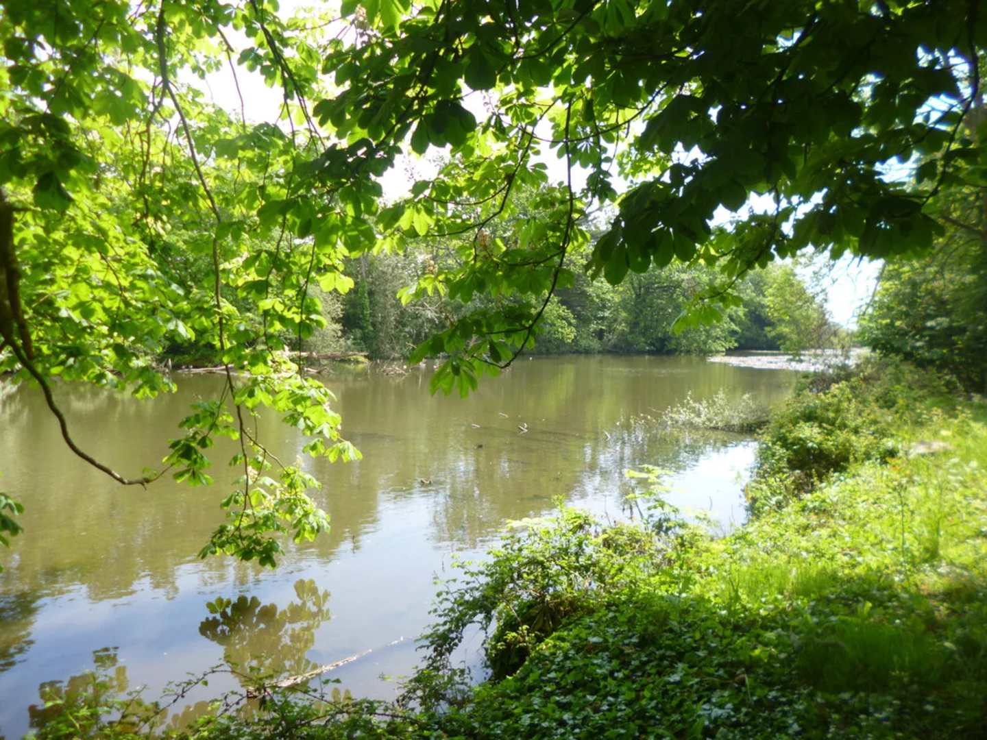
Flora and Fauna As you venture further into the park, you'll be greeted by a variety of flora and fauna. The trail meanders through open fields, woodlands, and along the banks of the River Lavant. Keep an eye out for local wildlife such as deer, foxes, and a variety of bird species. The woodlands are particularly beautiful in spring when bluebells carpet the forest floor.
Key Landmarks Around the 3 km (1.9 miles) mark, you'll come across the remains of an old Roman road. This ancient pathway once connected Chichester to London and is a fascinating glimpse into the region's long history. Continuing on, at approximately 5 km (3.1 miles), you'll find a picturesque spot by the River Lavant, perfect for a short break or a picnic.
Navigation and Safety The trail is well-marked, but it's always a good idea to have a reliable navigation tool. HiiKER is an excellent app for this purpose, providing detailed maps and real-time location tracking. While the trail is generally safe, be mindful of uneven ground and occasional muddy patches, especially after rain.
Final Stretch As you loop back towards the starting point, you'll pass through more open fields and small wooded areas. The final 2 km (1.2 miles) offer a gentle walk back to the Tangmere Military Aviation Museum, where you can take some time to explore the exhibits if you haven't already.
This 10 km loop is a wonderful way to spend a day immersed in nature and history, offering a moderate challenge suitable for most hikers.
What to expect?
Activity types
Comments and Reviews
User comments, reviews and discussions about the Tangmere Country Park, England.
4.0
average rating out of 5
1 rating(s)

