Download
Preview
Add to list
More
7.5 km
~1 hrs 45 min
156 m
Loop
“Explore the Staplefield Loop: an 8 km blend of woodlands, fields, history, and countryside charm.”
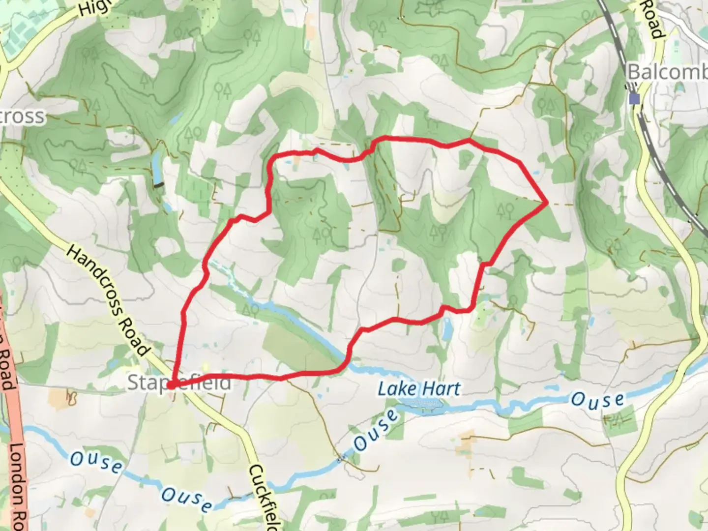
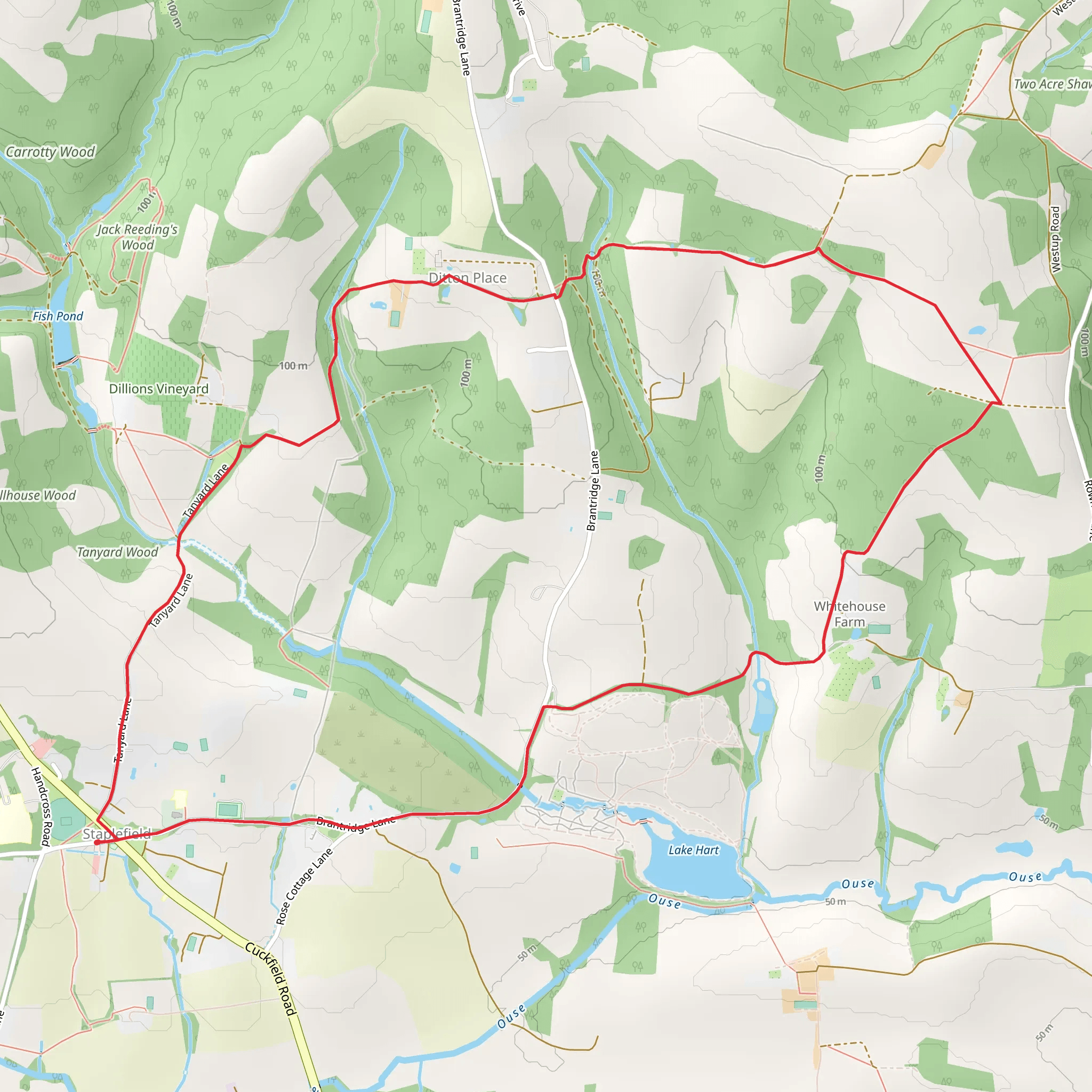
Starting near the charming village of Staplefield in West Sussex, England, the Staplefield Loop is an 8 km (approximately 5 miles) trail with an elevation gain of around 100 meters (328 feet). This loop trail offers a delightful mix of woodland paths, open fields, and picturesque countryside, making it a perfect day hike for those looking to explore the natural beauty and historical richness of the area.
Getting There To reach the trailhead, you can drive to Staplefield, which is easily accessible from nearby towns such as Crawley and Haywards Heath. If you're using public transport, the nearest train station is Balcombe, located about 4 km (2.5 miles) from Staplefield. From Balcombe, you can take a taxi or a local bus to reach the village.
Trail Navigation For navigation, it's highly recommended to use the HiiKER app, which provides detailed maps and real-time updates to ensure you stay on track throughout your hike.
Trail Highlights
#### Woodland Paths and Open Fields The trail begins near the village green of Staplefield, a perfect spot to start your adventure. As you set off, you'll soon find yourself immersed in lush woodland paths. These shaded areas are particularly refreshing during warmer months. After approximately 2 km (1.2 miles), the trail opens up into expansive fields, offering stunning views of the surrounding countryside.
#### Historical Landmarks One of the significant landmarks along the trail is the St. Mark's Church, located about 3 km (1.9 miles) into the hike. This historic church dates back to the 19th century and is a beautiful example of Gothic Revival architecture. Take a moment to appreciate the craftsmanship and perhaps even explore the churchyard, which holds many stories of the local community.
#### Wildlife and Nature As you continue, keep an eye out for local wildlife. The area is home to a variety of bird species, including woodpeckers and owls. You might also spot deer grazing in the fields or catch a glimpse of foxes darting through the underbrush. The diverse flora includes ancient oak trees, vibrant wildflowers, and dense hedgerows, providing a rich tapestry of natural beauty.
Practical Information
#### Terrain and Difficulty The trail is rated as medium difficulty, primarily due to its length and some uneven terrain. The elevation gain is moderate, with a few gentle inclines that are manageable for most hikers. Good walking shoes are recommended, especially after rain when the paths can become muddy.
#### Facilities and Amenities Staplefield village offers a few amenities, including a couple of traditional English pubs where you can enjoy a hearty meal and a refreshing drink after your hike. There are also public restrooms near the village green.
#### Safety Tips While the trail is well-marked, it's always a good idea to carry a map and compass or use the HiiKER app for navigation. Ensure you have enough water and snacks, especially if you're hiking during warmer months. Mobile reception can be patchy in some areas, so inform someone of your plans before setting off.
The Staplefield Loop is a delightful hike that combines natural beauty, historical landmarks, and the charm of the English countryside. Whether you're a seasoned hiker or a casual walker, this trail offers something for everyone.
What to expect?
Activity types
Comments and Reviews
User comments, reviews and discussions about the Staplefield Loop, England.
4.67
average rating out of 5
3 rating(s)
