Download
Preview
Add to list
More
13.4 km
~3 hrs 2 min
216 m
Point-to-Point
“The Slindon Estate Loop is a 13 km trail offering stunning landscapes, historical landmarks, and diverse wildlife.”
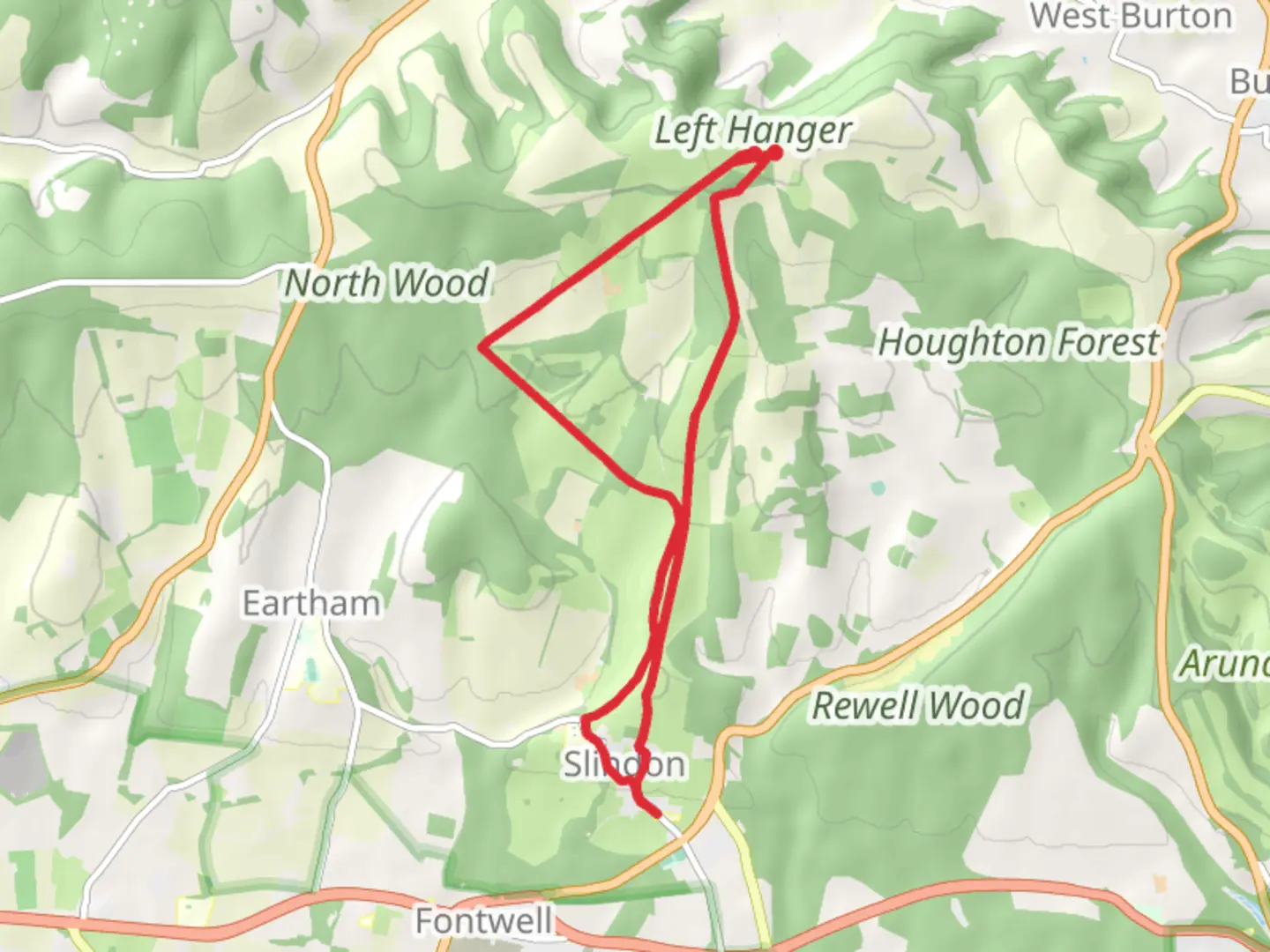
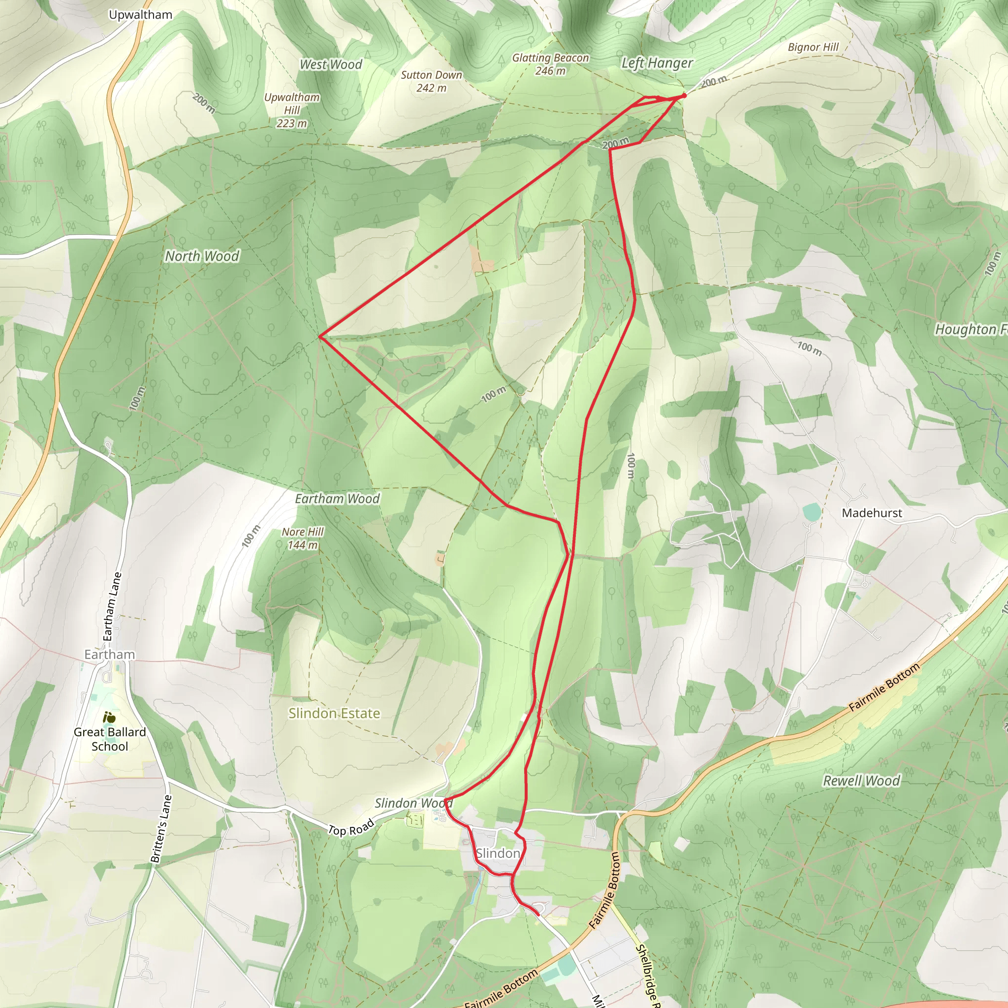
Starting near West Sussex, England, the Slindon Estate Loop is a captivating 13 km (8 miles) point-to-point trail with an elevation gain of approximately 200 meters (656 feet). This medium-difficulty trail offers a blend of natural beauty, historical landmarks, and diverse wildlife, making it a rewarding experience for hikers.
Getting There
To reach the trailhead, you can either drive or use public transport. If driving, head towards the village of Slindon, which is well-signposted from the A27. There is a small car park near the Slindon Estate, which serves as a convenient starting point. For those using public transport, the nearest train station is Barnham, located about 5 miles (8 km) away. From Barnham, you can take a local bus or taxi to Slindon.
Trail Highlights
#### Nature and Wildlife
The Slindon Estate Loop takes you through a variety of landscapes, including ancient woodlands, open fields, and rolling hills. The trail is particularly stunning in spring and autumn when the foliage is at its most vibrant. Keep an eye out for local wildlife such as deer, foxes, and a variety of bird species. The woodlands are home to ancient oak and beech trees, some of which are centuries old.
#### Historical Significance
One of the most significant landmarks along the trail is the Slindon Folly, also known as Nore Folly. This 18th-century structure was built as a decorative feature and offers panoramic views of the surrounding countryside. Approximately 4 km (2.5 miles) into the hike, you will come across the remains of a Roman road, a testament to the area's long history of human settlement.
Navigation and Waypoints
Using HiiKER for navigation is highly recommended, as the trail can be intricate with several intersecting paths. The app provides detailed maps and waypoints to ensure you stay on track. Key waypoints include the Slindon Folly at around 4 km (2.5 miles) and the Roman road at approximately 8 km (5 miles).
Elevation and Terrain
The trail features a moderate elevation gain of around 200 meters (656 feet), with the most significant climbs occurring in the first half of the hike. The terrain varies from well-trodden paths to more rugged sections, so sturdy hiking boots are advisable. There are also several stiles and gates to navigate, adding a bit of variety to the journey.
Practical Information
The trail is well-marked, but it's always a good idea to carry a map or use HiiKER for real-time navigation. There are no facilities along the trail, so bring sufficient water and snacks. The village of Slindon has a few local shops and cafes where you can stock up before or after your hike.
This trail offers a perfect blend of natural beauty, historical intrigue, and moderate physical challenge, making it an excellent choice for a day hike in the West Sussex countryside.
What to expect?
Activity types
Comments and Reviews
User comments, reviews and discussions about the Slindon Estate Loop, England.
4.0
average rating out of 5
1 rating(s)
