Download
Preview
Add to list
More
7.4 km
~1 hrs 32 min
40 m
Loop
“Explore the scenic Poling Loop: a 7 km trail through West Sussex's countryside, rich in history and nature.”
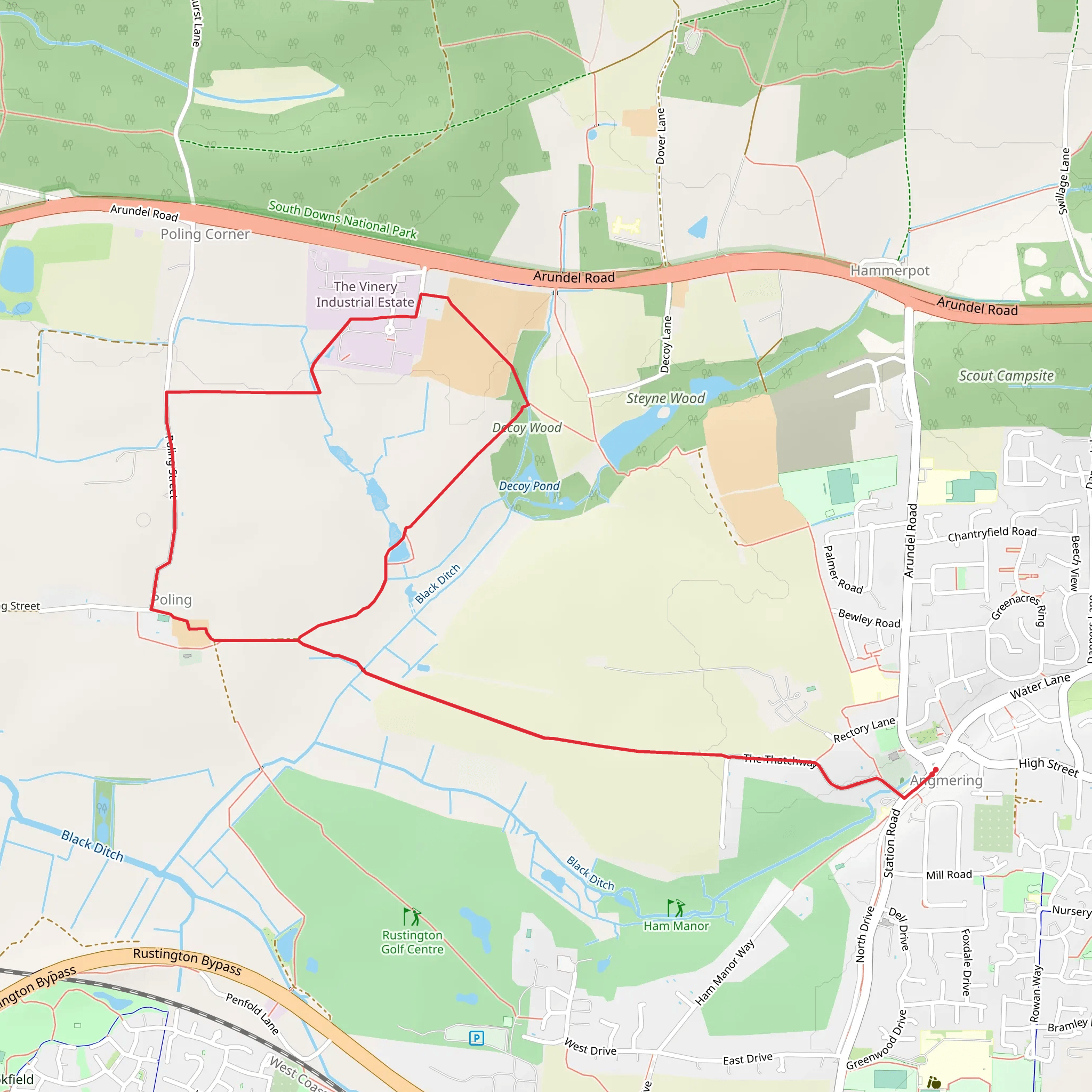
Starting near West Sussex, England, the Poling Loop is a delightful 7 km (approximately 4.3 miles) loop trail with virtually no elevation gain, making it accessible for a wide range of hikers. The trailhead is conveniently located near the village of Poling, which can be reached by car or public transport. If you're driving, you can park near the Poling Church, a notable landmark in the area. For those using public transport, the nearest train station is Arundel, from where you can take a local bus or taxi to Poling.
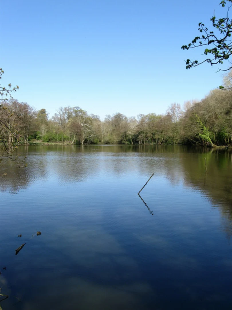
Trail Overview The Poling Loop is estimated to be of medium difficulty, primarily due to its length rather than any challenging terrain. The trail meanders through the picturesque countryside of West Sussex, offering a mix of open fields, woodland, and charming rural landscapes.
Key Landmarks and Points of Interest - **Poling Church**: Starting at the Poling Church, a historical site dating back to the 12th century, you'll find yourself immersed in the rich history of the region. The church itself is worth a visit before you set off on your hike. - **Arundel Castle**: Although not directly on the trail, Arundel Castle is nearby and can be seen from various points along the route. This medieval castle, built in 1067, adds a historical backdrop to your hike. - **South Downs National Park**: As you walk, you'll be skirting the edges of the South Downs National Park, known for its rolling hills and diverse wildlife. Keep an eye out for deer, foxes, and a variety of bird species.
Flora and Fauna The trail offers a rich tapestry of flora and fauna. In the spring and summer months, the fields are often filled with wildflowers, including bluebells and poppies. The woodland sections are home to ancient oak and beech trees, providing ample shade and a serene atmosphere. Birdwatchers will be delighted by the variety of species, including skylarks, woodpeckers, and occasionally, birds of prey like kestrels and buzzards.
Navigation For navigation, it is highly recommended to use HiiKER, which provides detailed maps and real-time updates. The trail is well-marked, but having a reliable navigation tool can enhance your experience and ensure you stay on track.
Getting There - **By Car**: If you're driving, set your GPS to Poling Church, Poling, West Sussex. There is limited parking available near the church. - **By Public Transport**: Take a train to Arundel Station. From there, you can catch a local bus or taxi to Poling. The journey from Arundel to Poling is approximately 5 km (3.1 miles).
Trail Conditions and Preparation The trail is generally well-maintained, but it can get muddy in sections, especially after rain. Waterproof hiking boots are recommended. Given the length of the trail, bring sufficient water and snacks. There are no facilities along the route, so plan accordingly.
Historical Significance The region around Poling is steeped in history. The village itself has roots going back to the Domesday Book of 1086. The proximity to Arundel Castle adds a layer of medieval history, and the landscape has been shaped by centuries of agricultural use.
Hiking the Poling Loop offers a blend of natural beauty, historical intrigue, and a moderate challenge, making it a rewarding experience for those looking to explore the English countryside.
What to expect?
Activity types
Comments and Reviews
User comments, reviews and discussions about the Poling Loop, England.
4.5
average rating out of 5
4 rating(s)

