Download
Preview
Add to list
More
22.5 km
~1 day 0 hrs
547 m
Point-to-Point
“The 23 km Keymer Post Walk offers panoramic views, rich history, and diverse wildlife through the South Downs.”
Starting near the charming village of Steyning in West Sussex, England, the Keymer Post Walk is a point-to-point trail that stretches approximately 23 km (14.3 miles) with an elevation gain of around 500 meters (1,640 feet). This medium-difficulty hike offers a blend of historical landmarks, diverse wildlife, and scenic landscapes, making it a rewarding experience for hikers.
Getting There
To reach the trailhead, you can either drive or use public transport. If driving, head towards Steyning, where you can find parking options near the village center. For those using public transport, the nearest railway station is Shoreham-by-Sea. From there, you can take a bus to Steyning, which is well-connected by local bus services.
Trail Overview
The trail begins near Steyning, a village known for its historical significance and picturesque streets. As you set off, you'll quickly find yourself immersed in the rolling hills and open fields characteristic of the South Downs National Park.
Key Landmarks and Sections
#### Steyning to Chanctonbury Ring (Approx. 5 km / 3.1 miles)
The first significant landmark you'll encounter is the Chanctonbury Ring, an ancient hill fort with a history dating back to the Iron Age. The climb to the Ring is gradual but steady, offering panoramic views of the surrounding countryside. The elevation gain here is about 150 meters (492 feet), making it a good warm-up for the rest of the hike.
#### Chanctonbury Ring to Devil's Dyke (Approx. 10 km / 6.2 miles)
Continuing from Chanctonbury Ring, the trail meanders through a mix of woodland and open grassland. Keep an eye out for local wildlife, including deer and various bird species. The next major landmark is Devil's Dyke, a deep valley formed by river erosion. This section involves a descent followed by a steep ascent, adding another 200 meters (656 feet) to your elevation gain.
#### Devil's Dyke to Keymer Post (Approx. 8 km / 5 miles)
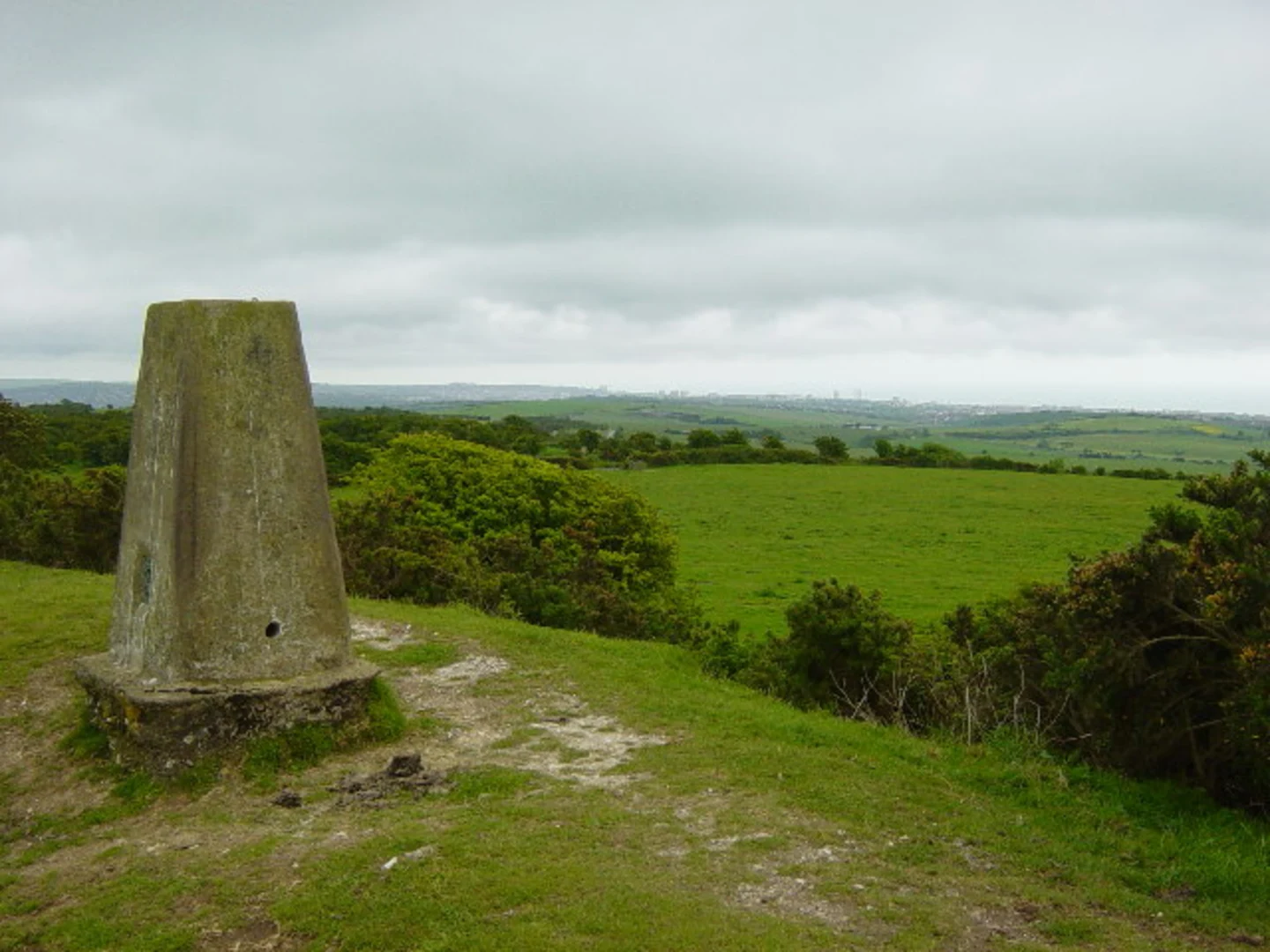
The final stretch takes you through more undulating terrain, passing through small hamlets and farmland. The trail eventually leads to Keymer Post, a historical marker that has guided travelers for centuries. This section is less strenuous but offers plenty of opportunities to enjoy the natural beauty of the South Downs.
Navigation and Safety
Given the length and varied terrain of the Keymer Post Walk, it's advisable to use a reliable navigation tool like HiiKER to stay on track. The trail is well-marked, but having a digital map can be invaluable, especially in areas where the path may be less defined.
Flora and Fauna
The South Downs are home to a rich variety of plant and animal life. Depending on the season, you might see wildflowers like orchids and bluebells, as well as butterflies and birds such as skylarks and kestrels. The diverse habitats along the trail, from chalk grasslands to ancient woodlands, provide a haven for wildlife.
Historical Significance
The trail passes through areas steeped in history. Steyning itself has roots going back to Saxon times, and Chanctonbury Ring has been a site of human activity for thousands of years. Devil's Dyke, with its dramatic landscape, has inspired legends and folklore, adding a layer of mystique to your hike.
Practical Tips
- Footwear: Sturdy hiking boots are recommended due to the varied terrain. - Weather: The South Downs can be windy and exposed, so bring layers and waterproofs. - Water and Snacks: Ensure you carry enough water and high-energy snacks, as there are limited facilities along the route. - Public Transport: Check the latest bus and train schedules if you plan to use public transport.
This hike offers a perfect blend of natural beauty, historical intrigue, and physical challenge, making it a must-do for any avid hiker exploring the South Downs.

What to expect?
Activity types
Comments and Reviews
User comments, reviews and discussions about the Keymer Post Walk from Steyning, England.
5.0
average rating out of 5
1 rating(s)