Download
Preview
Add to list
More
12.8 km
~2 hrs 59 min
267 m
Loop
“The Glatting Beacon Loop offers a scenic 13 km hike with historical landmarks, diverse wildlife, and panoramic views.”
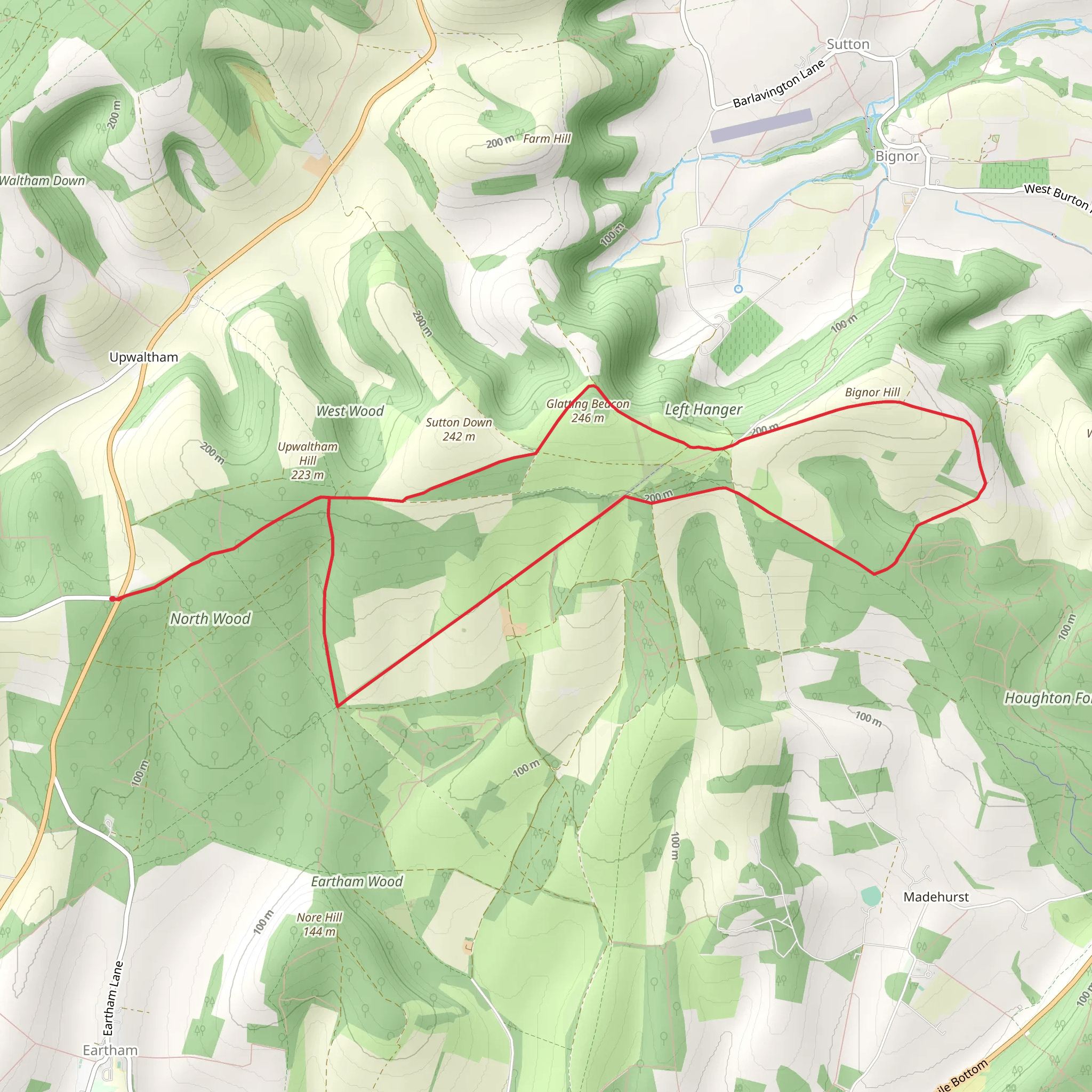
Starting near West Sussex, England, the Glatting Beacon Loop from North Wood is a delightful 13 km (8 miles) loop trail with an elevation gain of around 200 meters (656 feet). This medium-difficulty trail offers a mix of historical landmarks, diverse wildlife, and stunning natural scenery, making it a rewarding experience for hikers.
Getting There To reach the trailhead, you can drive or use public transport. If driving, head towards the nearest significant landmark, the village of Bignor, which is well-signposted from the A29. There is limited parking available near North Wood, so arriving early is advisable. For those using public transport, the nearest train station is Pulborough. From Pulborough, you can take a local bus or taxi to Bignor, which is approximately 8 km (5 miles) away.
Trail Overview The trail begins near North Wood, a serene woodland area that sets the tone for the hike. As you start, you'll be walking through dense forest, where the canopy provides ample shade, making it a pleasant start even on warmer days. The initial 2 km (1.2 miles) are relatively flat, allowing you to ease into the hike.
Historical Significance Around the 3 km (1.8 miles) mark, you'll come across the remnants of a Roman road. This ancient path once connected the Roman city of Chichester to London, and you can still see some of the original stonework. This section of the trail is a gentle reminder of the area's rich history.
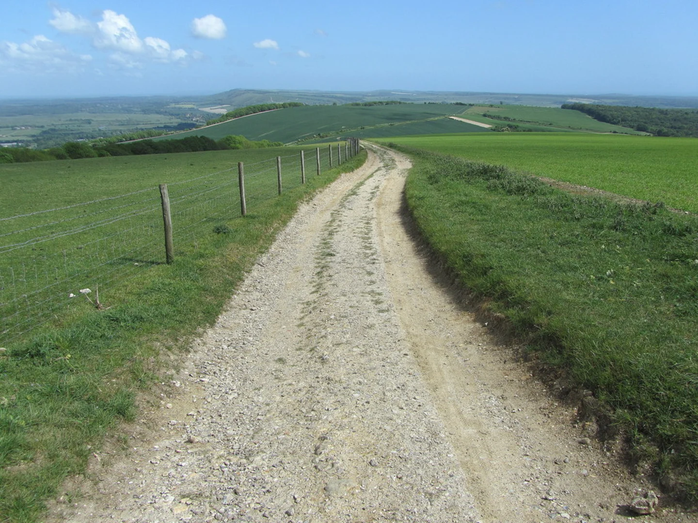
Ascending to Glatting Beacon As you continue, the trail begins to ascend towards Glatting Beacon. The climb is gradual but steady, gaining about 150 meters (492 feet) over the next 4 km (2.5 miles). Along the way, you'll pass through open fields and meadows, offering panoramic views of the South Downs. Keep an eye out for local wildlife, including deer and various bird species.
Reaching the Summit At approximately 7 km (4.3 miles), you'll reach Glatting Beacon, the highest point of the trail. The beacon itself is a historical landmark, once used as a signaling point. From here, you can enjoy breathtaking views of the surrounding countryside. On a clear day, you can see as far as the Isle of Wight.
Descending Back The descent begins after you leave Glatting Beacon, and the next 3 km (1.8 miles) take you through a mix of woodland and open fields. This section is relatively easy, allowing you to enjoy the scenery without much effort. You'll pass by several small streams and might even spot some local flora, including bluebells in the spring.
Final Stretch The last 3 km (1.8 miles) of the trail loop back towards North Wood. This section is mostly flat and takes you through more woodland, providing a peaceful end to your hike. As you approach the trailhead, you'll pass by a small pond, a perfect spot to take a short break and reflect on your journey.
Navigation For navigation, it's highly recommended to use HiiKER, which provides detailed maps and real-time updates to ensure you stay on track. The trail is well-marked, but having a reliable navigation tool can enhance your hiking experience.
This trail offers a perfect blend of natural beauty, historical landmarks, and moderate physical challenge, making it an excellent choice for hikers looking to explore the South Downs.
What to expect?
Activity types
Comments and Reviews
User comments, reviews and discussions about the Glatting Beacon Loop from North Wood, England.
4.5
average rating out of 5
2 rating(s)

