Download
Preview
Add to list
More
5.3 km
~1 hrs 17 min
139 m
Loop
“Explore the scenic Beeding Hill and Monarch's Way trail for breathtaking views and rich history.”
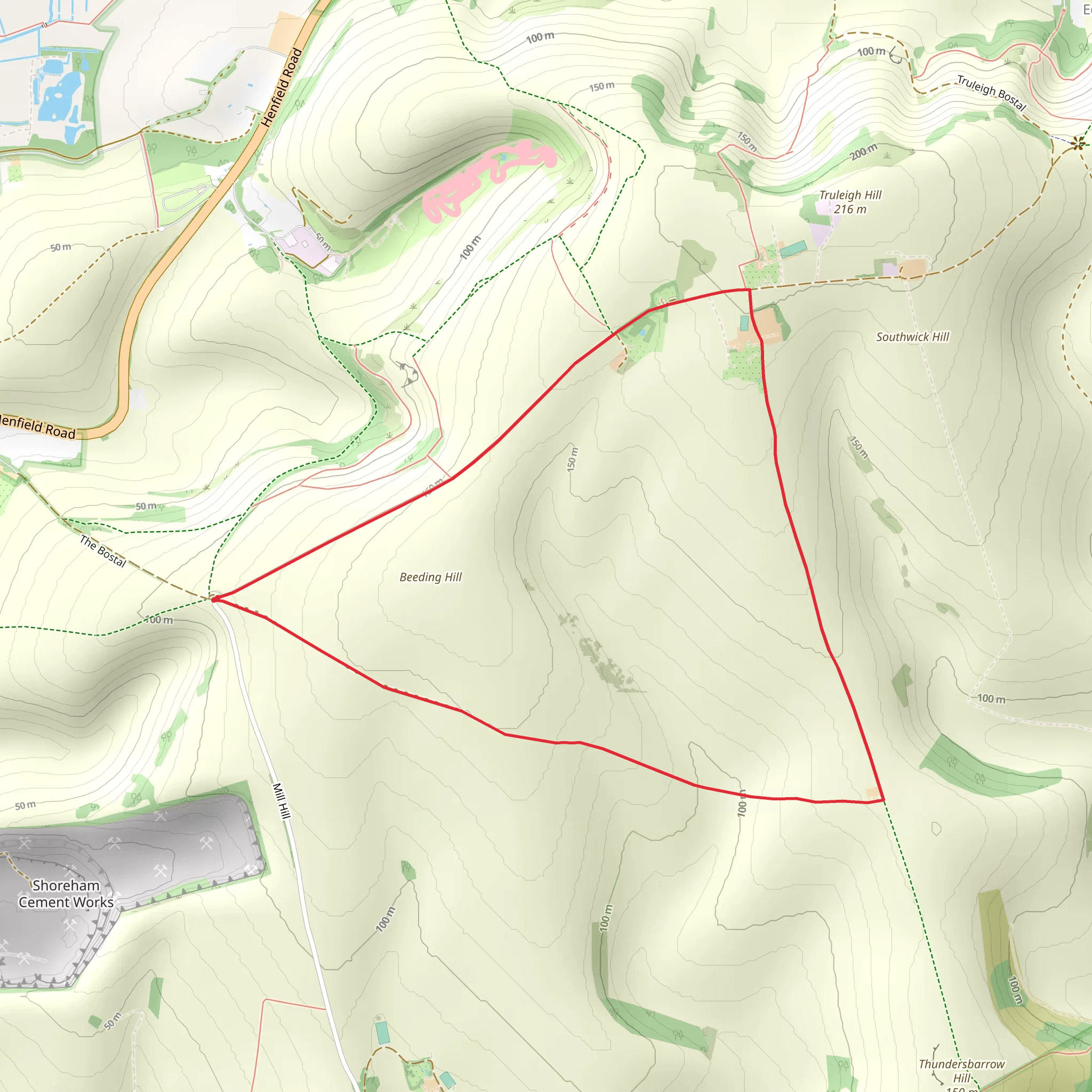
Starting near the picturesque village of Upper Beeding in West Sussex, England, the Beeding Hill and Monarch's Way trail offers a delightful 5 km (approximately 3.1 miles) loop with an elevation gain of around 100 meters (328 feet). This medium-difficulty hike is perfect for those looking to explore the South Downs National Park's rolling hills and rich history.
Getting There To reach the trailhead, you can drive to Upper Beeding, where parking is available near the village center. For those using public transport, the nearest train station is Shoreham-by-Sea. From there, you can take a bus to Upper Beeding, which is well-connected by local bus services.
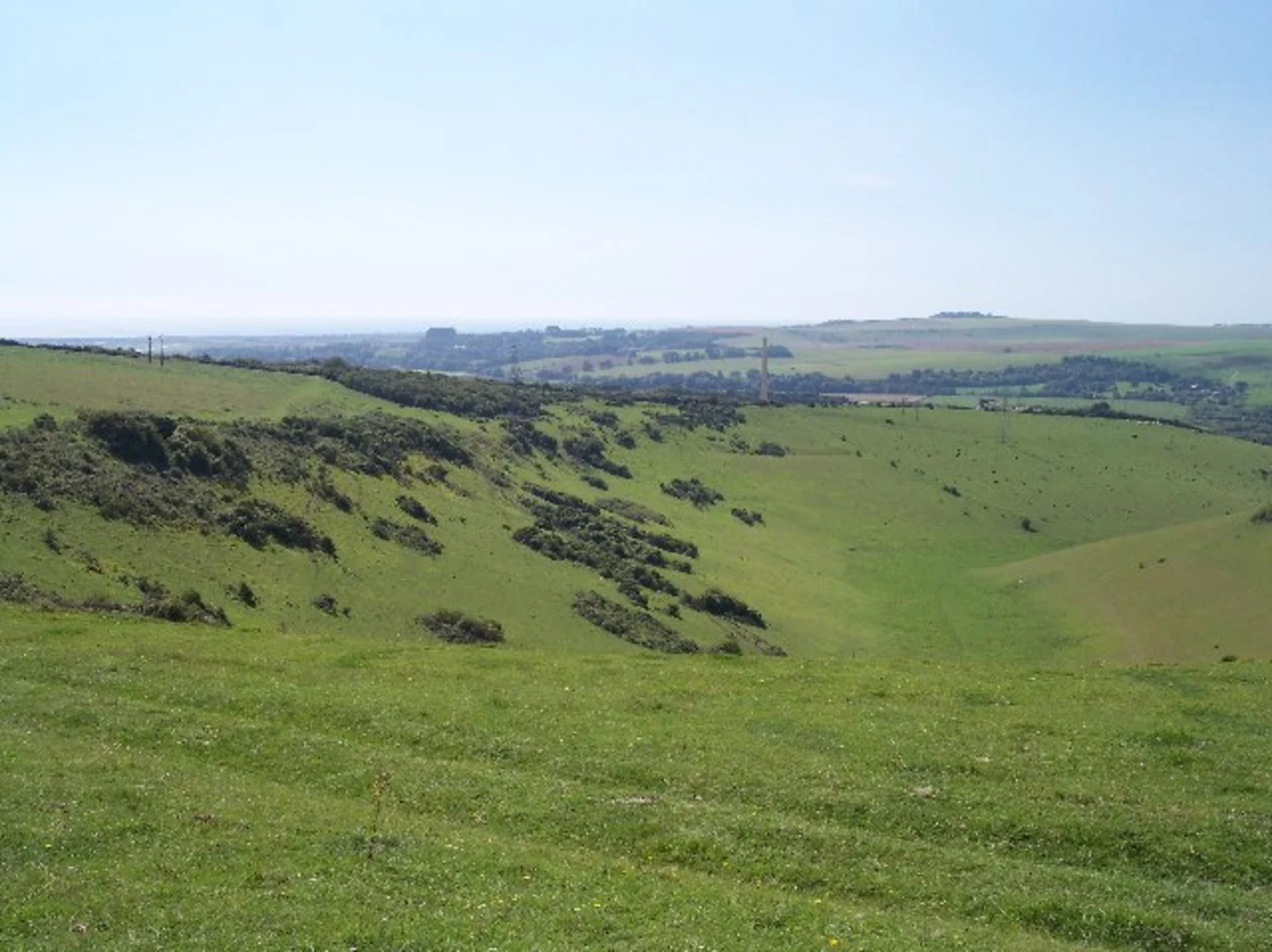
Trail Overview The trail begins near the village of Upper Beeding, close to the address of St. Peter's Church, Church Lane, Upper Beeding, Steyning BN44 3HP. From here, you will head towards Beeding Hill, where the ascent begins. The initial climb is gradual, offering stunning views of the surrounding countryside as you make your way up.
Historical Significance As you hike, you'll be following part of the Monarch's Way, a historic route that traces the escape of King Charles II after his defeat at the Battle of Worcester in 1651. This adds a layer of historical intrigue to your journey, as you walk in the footsteps of royalty.
Key Landmarks and Nature At around the 1.5 km (0.9 miles) mark, you'll reach the top of Beeding Hill. Here, you can enjoy panoramic views of the South Downs and the River Adur valley. This is a great spot to take a break and soak in the scenery. The area is also rich in wildlife, so keep an eye out for skylarks, kestrels, and various butterfly species that thrive in this chalk grassland habitat.
Continuing along the trail, you'll descend towards the River Adur. The descent is gentle, and the path is well-marked. At approximately 3 km (1.9 miles), you'll reach the riverbank, where the trail flattens out. This section of the hike is particularly serene, with the gentle flow of the river and the lush greenery providing a peaceful backdrop.
Navigation and Safety The trail is well-signposted, but it's always a good idea to have a reliable navigation tool. HiiKER is an excellent app for this purpose, offering detailed maps and real-time tracking to ensure you stay on course. The terrain can be uneven in places, so sturdy hiking boots are recommended. Also, be prepared for changing weather conditions, as the South Downs can be quite exposed.
Completing the Loop As you follow the river, you'll eventually loop back towards Upper Beeding. The final stretch of the trail takes you through some charming countryside, passing by fields and hedgerows before bringing you back to the village. This section is relatively flat and easy, making for a pleasant end to your hike.
The Beeding Hill and Monarch's Way trail offers a perfect blend of natural beauty, historical significance, and moderate physical challenge. Whether you're a seasoned hiker or a casual walker, this trail provides a rewarding experience in the heart of the South Downs.
What to expect?
Activity types
Comments and Reviews
User comments, reviews and discussions about the Beeding Hill and Monarch's Way, England.
4.5
average rating out of 5
4 rating(s)

