Download
Preview
Add to list
More
7.7 km
~1 hrs 46 min
145 m
Loop
“Explore scenic farmland, historic hamlets, and vibrant woodlands on the medium-difficulty Litchborough to Upper Stowe Loop Walk.”
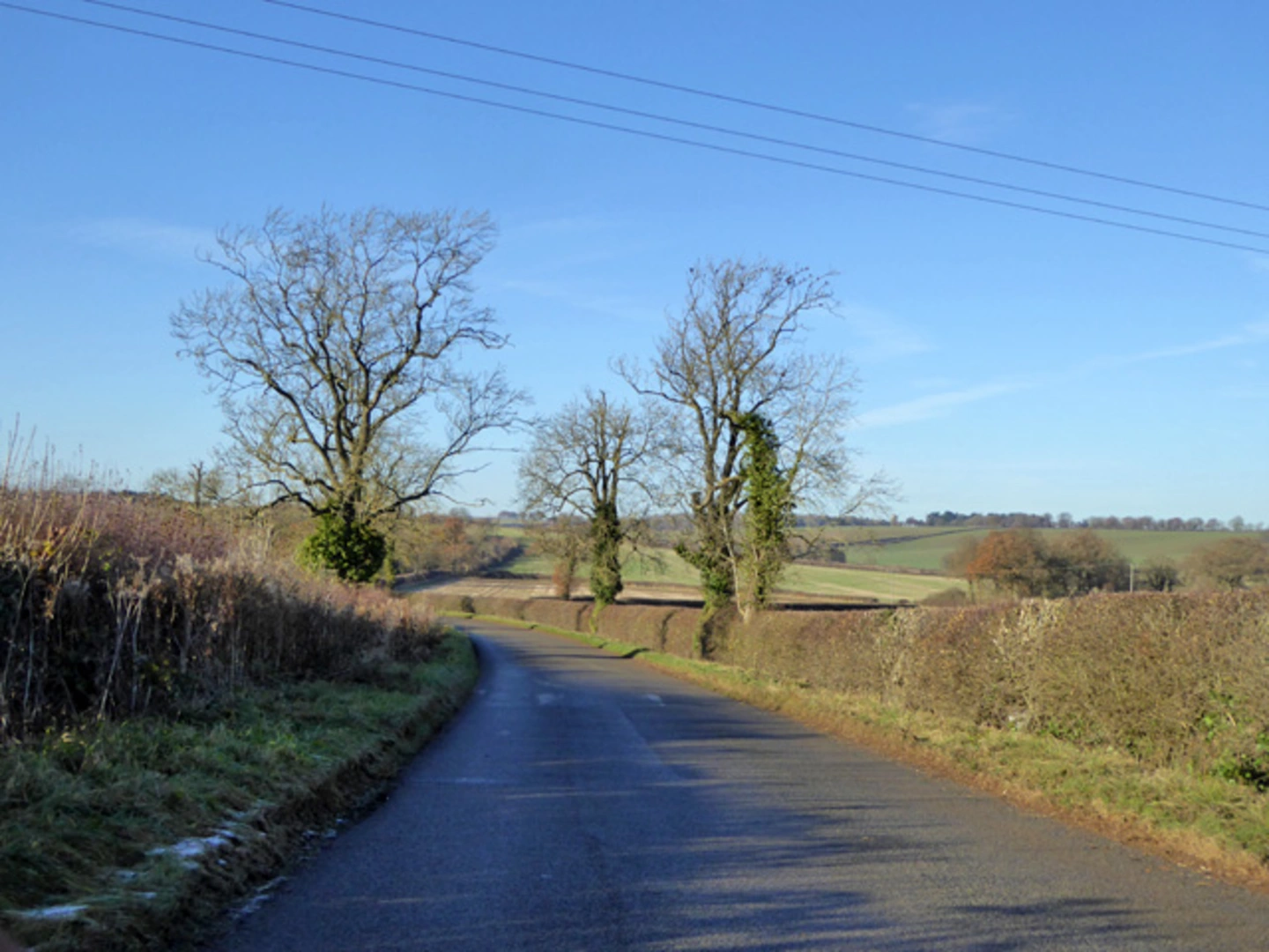
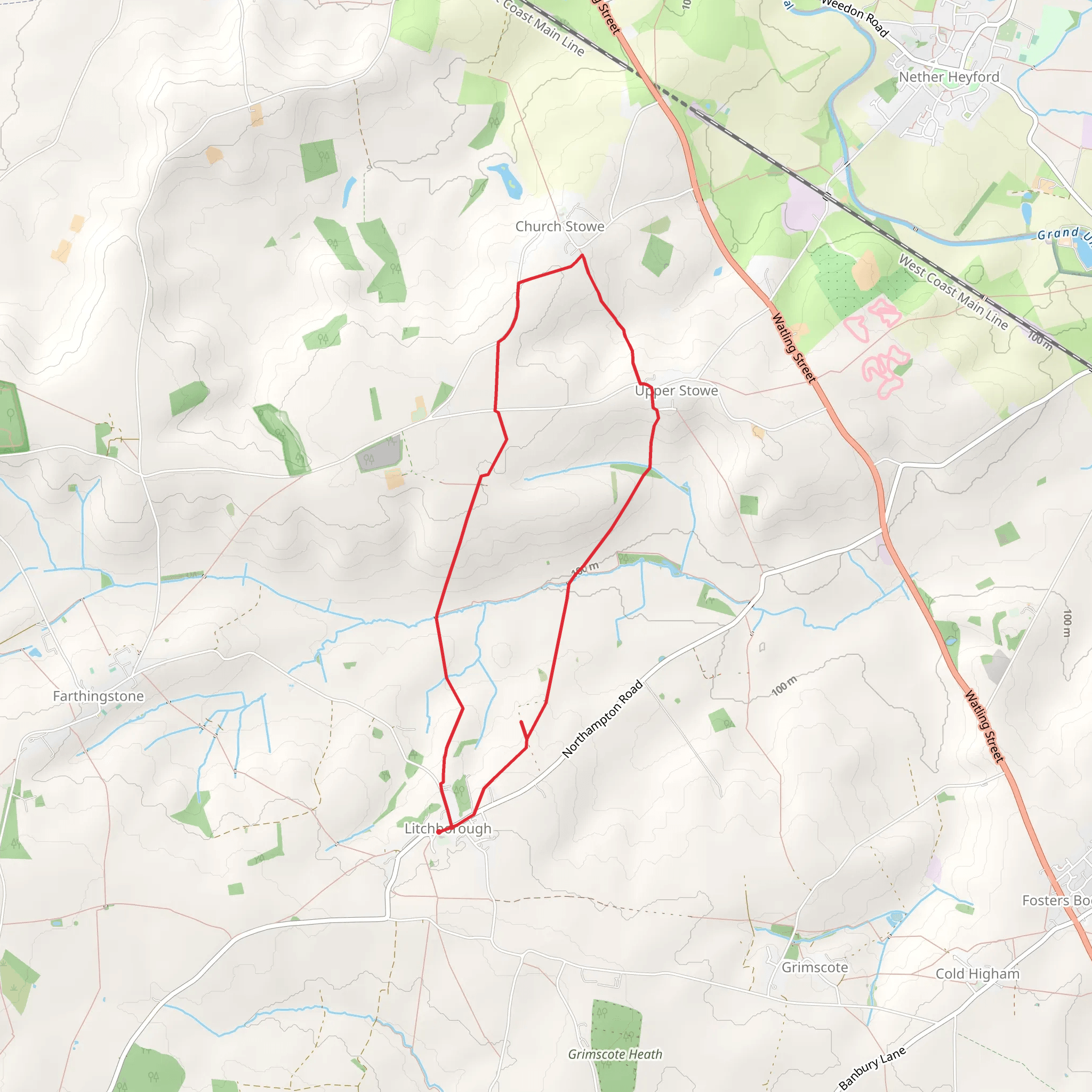
Starting near West Northamptonshire, England, the Litchborough to Upper Stowe Loop Walk is a delightful 8 km (5 miles) journey with an elevation gain of around 100 meters (328 feet). This loop trail is estimated to be of medium difficulty, making it suitable for moderately experienced hikers.### Getting ThereTo reach the trailhead, you can drive or use public transport. If driving, set your GPS to Litchborough, a small village in West Northamptonshire. There is limited parking available near the village center. For those using public transport, the nearest significant landmark is the town of Towcester. From Towcester, you can take a local bus to Litchborough, which is approximately 6 miles (9.6 km) away.### Trail OverviewThe trail begins in the charming village of Litchborough, known for its picturesque cottages and historic St. Martin's Church, dating back to the 13th century. As you set off, you'll traverse through a mix of open fields and wooded areas, offering a variety of landscapes and habitats.### Key Landmarks and Nature#### Litchborough to FarmlandThe first section of the trail takes you through expansive farmland. Keep an eye out for local wildlife such as pheasants, rabbits, and occasionally deer. The fields are often bordered by hedgerows, which are home to a variety of bird species. After approximately 2 km (1.2 miles), you'll start a gentle ascent, gaining about 50 meters (164 feet) in elevation.#### Farmland to Upper StoweContinuing on, you'll reach the small hamlet of Upper Stowe. This area is rich in history, with remnants of medieval settlements visible in the landscape. Upper Stowe is also home to the Stowe Nine Churches, a group of historic churches that are worth a brief detour if time allows. This section of the trail is relatively flat, making it a good place to catch your breath and enjoy the scenery.#### Upper Stowe to Woodland PathAs you leave Upper Stowe, the trail leads you into a more wooded area. This section is particularly beautiful in the autumn when the leaves change color. The path here can be narrow and uneven, so watch your footing. You'll also encounter a small stream, which you can cross via a charming wooden bridge. This part of the trail is about 3 km (1.9 miles) from the start and involves a slight descent of around 30 meters (98 feet).### Navigation and SafetyGiven the mix of open fields and wooded paths, it's advisable to use a reliable navigation tool like HiiKER to stay on track. The trail is generally well-marked, but signage can be sparse in some areas, particularly in the woodland section.### Final StretchThe last leg of the loop brings you back towards Litchborough. You'll pass through more farmland and may encounter livestock, so be sure to close any gates behind you. The final kilometer (0.6 miles) involves a gentle ascent back into the village, where you can take a moment to explore more of its historic charm before concluding your hike.This trail offers a wonderful mix of natural beauty and historical intrigue, making it a rewarding experience for those looking to explore the English countryside.
Activity types
Comments and Reviews
User comments, reviews and discussions about the Litchborough to Upper Stowe Loop Walk, England.
4.67
average rating out of 5
3 rating(s)

