Download
Preview
Add to list
More
12.1 km
~2 hrs 37 min
126 m
Loop
“The Kintbury to Inkpen Loop is a picturesque 12 km trail featuring lush countryside, historical ruins, and gentle climbs.”
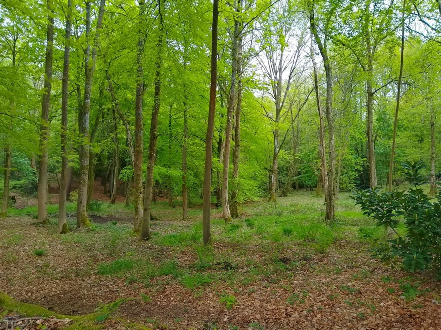
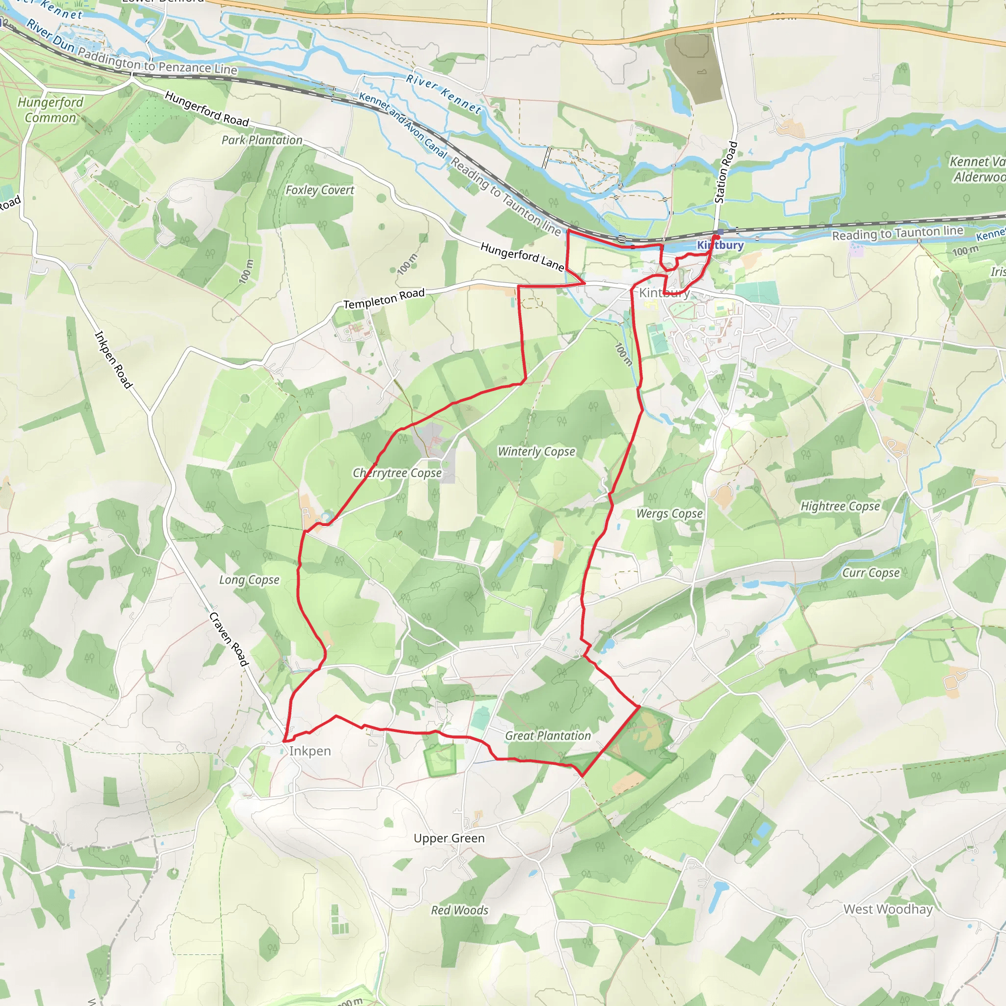
Starting near the charming village of Kintbury in West Berkshire, England, the Kintbury to Inkpen Loop is a delightful 12 km (7.5 miles) trail that offers a mix of serene countryside, historical landmarks, and gentle elevation changes. The trailhead is easily accessible by car, with parking available in Kintbury. For those using public transport, Kintbury railway station is conveniently located nearby, providing regular services from London Paddington and Reading.### Trail OverviewThe trail begins in Kintbury, a picturesque village known for its traditional English charm. As you set off, you'll quickly find yourself immersed in the lush greenery of the West Berkshire countryside. The initial part of the trail is relatively flat, making it a pleasant warm-up as you walk along well-maintained paths and bridleways.### Historical LandmarksApproximately 3 km (1.9 miles) into the hike, you'll come across the remnants of the historic Kintbury Castle. Though now mostly ruins, this site offers a glimpse into the area's medieval past. Continuing on, the trail takes you through ancient woodlands and open fields, where you might spot local wildlife such as deer, foxes, and a variety of bird species.### Elevation and TerrainAs you approach the halfway point near Inkpen, the trail begins to ascend gently. The total elevation gain is around 100 meters (328 feet), with the most significant climb occurring over a 2 km (1.2 miles) stretch. This section offers panoramic views of the surrounding countryside, making the effort well worth it. The terrain here can be uneven, so sturdy hiking boots are recommended.### Inkpen and SurroundingsInkpen itself is a quaint village with a rich history. One of the highlights is the Inkpen Crocus Field, a Site of Special Scientific Interest (SSSI) that blooms with thousands of purple crocuses in early spring. This natural spectacle is a must-see if you're hiking during the blooming season.### Navigation and SafetyThe trail is well-marked, but it's always a good idea to have a reliable navigation tool. HiiKER is an excellent app for this purpose, providing detailed maps and real-time tracking to ensure you stay on course. Be mindful of the weather, as the trail can become muddy and slippery after rain.### Return to KintburyThe final leg of the loop brings you back towards Kintbury, passing through more open fields and along the tranquil Kennet and Avon Canal. This section is relatively flat and offers a relaxing end to your hike. Keep an eye out for narrowboats and local anglers as you make your way back to the village.### Wildlife and FloraThroughout the hike, you'll encounter a diverse range of flora and fauna. The woodlands are home to ancient oak and beech trees, while the open fields are dotted with wildflowers in the spring and summer months. Birdwatchers will appreciate the variety of species, including kestrels, woodpeckers, and songbirds.### Getting ThereFor those driving, Kintbury is accessible via the A4 and M4, with ample parking available in the village. If you're using public transport, Kintbury railway station is a short walk from the trailhead, making it a convenient option for hikers coming from London or Reading.This 12 km loop offers a perfect blend of natural beauty, historical intrigue, and moderate physical challenge, making it an ideal day hike for those looking to explore the scenic landscapes of West Berkshire.
What to expect?
Activity types
Comments and Reviews
User comments, reviews and discussions about the Kintbury to Inkpen Loop, England.
4.33
average rating out of 5
3 rating(s)

