Download
Preview
Add to list
More
5.1 km
~1 hrs 9 min
91 m
Loop
“Explore serene woodlands, historic paths, and vibrant wildlife on the accessible Ashampstead and Burnthill Commons trail.”
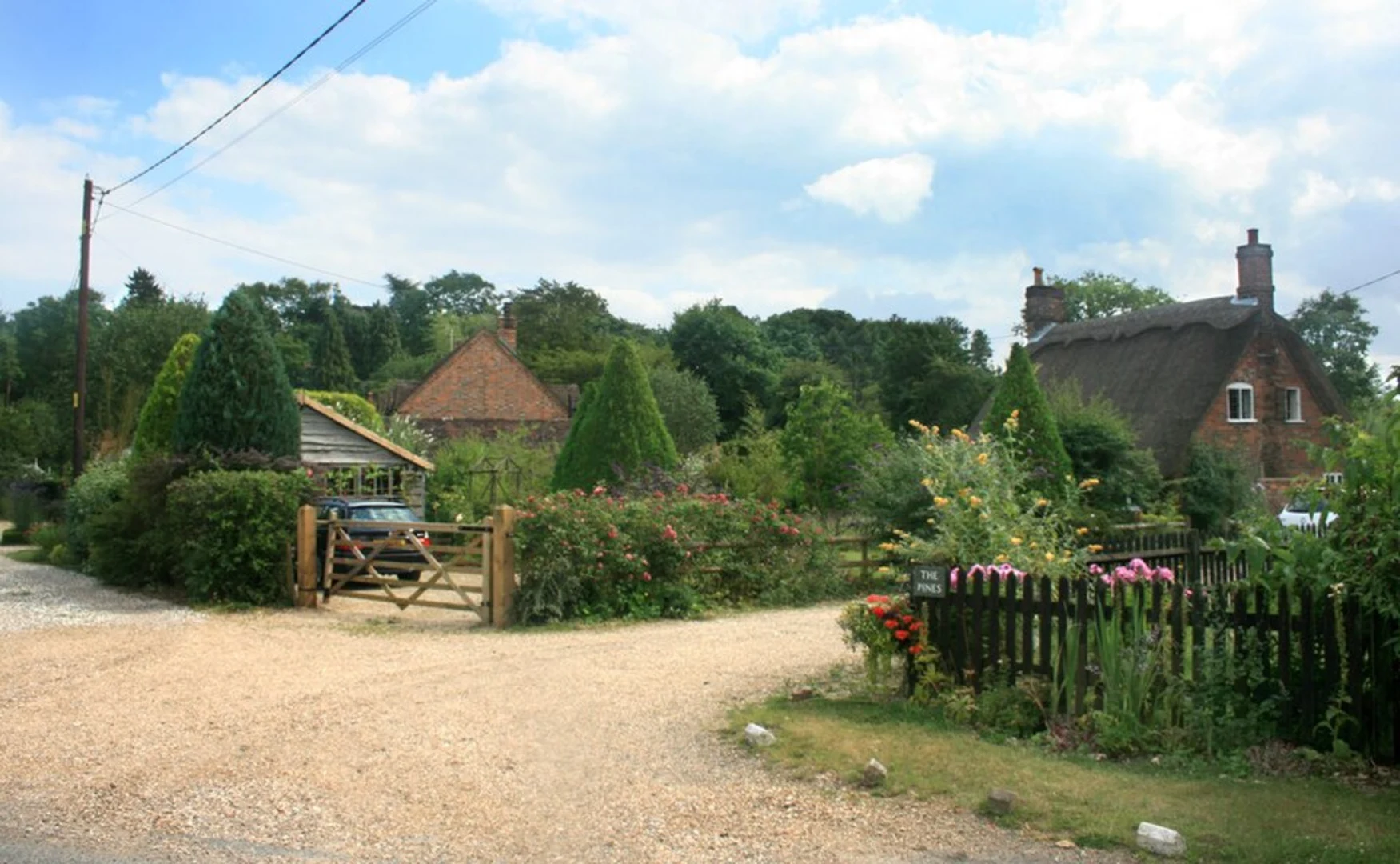
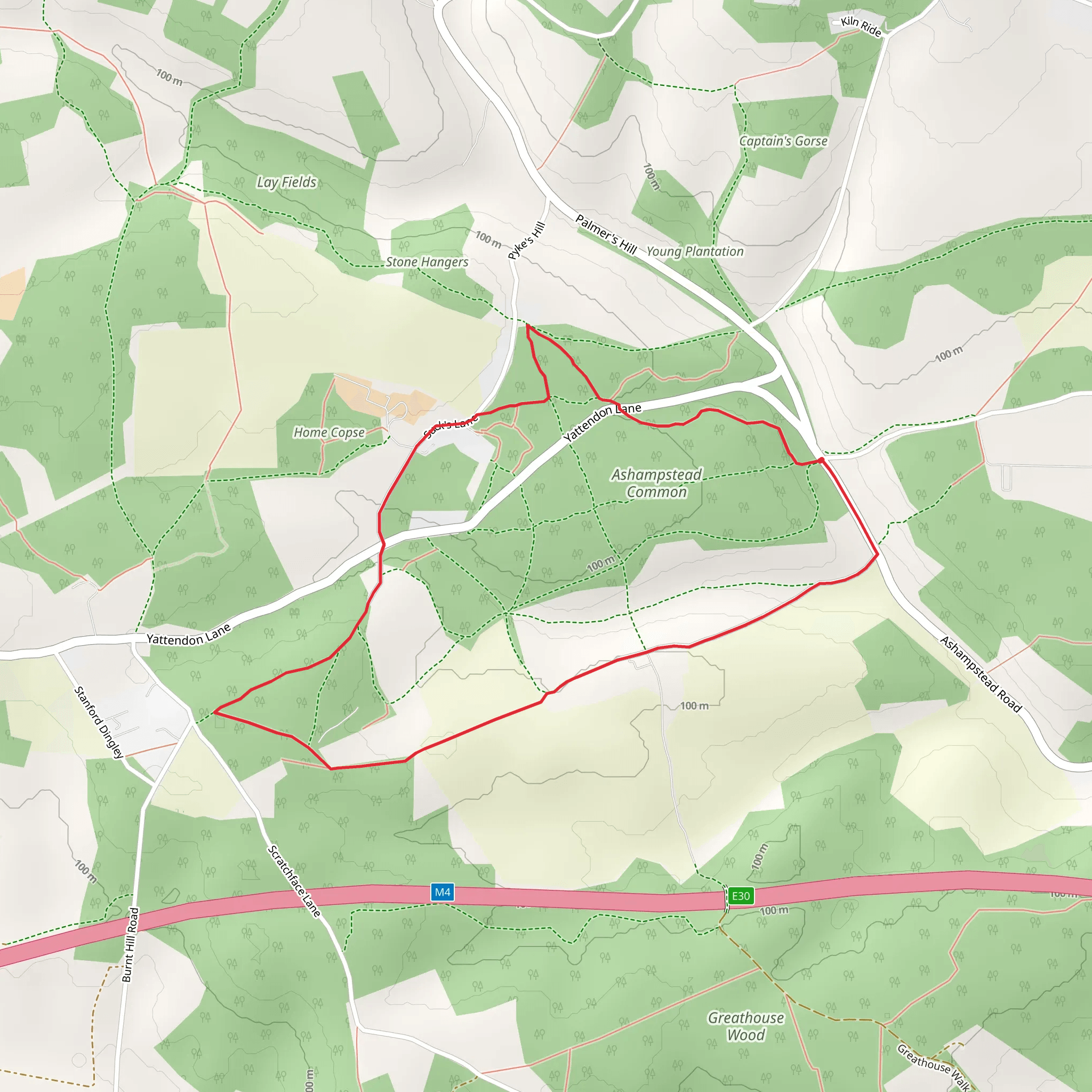
Starting near West Berkshire, England, the Ashampstead Common and Burnthill Common via Pillow Path trail is a delightful 5 km (approximately 3.1 miles) loop with no significant elevation gain, making it accessible for a wide range of hikers. The trailhead is conveniently located near the village of Ashampstead, which can be reached by car or public transport. If driving, you can park near the Ashampstead Common car park. For those using public transport, the nearest train station is Pangbourne, from where you can take a local bus or taxi to Ashampstead.### Trail OverviewThe trail begins at Ashampstead Common, a serene area characterized by its ancient woodlands and open heathland. As you set off, you'll be greeted by a canopy of oak, beech, and birch trees, providing ample shade and a sense of tranquility. The path is well-marked and relatively flat, making it suitable for families and casual hikers.### Key Landmarks and Points of Interest#### Pillow PathAbout 1 km (0.6 miles) into the hike, you'll encounter the Pillow Path, a historic route that dates back to medieval times. This path was traditionally used by villagers traveling to church, and its name is believed to derive from the soft, mossy ground that cushions your steps. Keep an eye out for the ancient boundary stones that mark the way, offering a glimpse into the area's rich history.#### Burnthill CommonContinuing on, you'll reach Burnthill Common around the 3 km (1.9 miles) mark. This area is known for its diverse flora and fauna. During spring and summer, the common is awash with wildflowers, including bluebells and primroses. Birdwatchers will be delighted by the variety of species that inhabit the area, such as woodpeckers, nuthatches, and the occasional red kite soaring overhead.### Navigation and SafetyThe trail is well-signposted, but it's always a good idea to have a reliable navigation tool. HiiKER is an excellent app for this purpose, providing detailed maps and real-time GPS tracking to ensure you stay on course. While the trail is generally safe, it's advisable to wear sturdy walking shoes, as some sections can be muddy, especially after rain.### Historical SignificanceThe region around Ashampstead and Burnthill Commons is steeped in history. Ashampstead itself is home to St. Clement's Church, a short detour from the trail, which dates back to the 12th century and features remarkable medieval wall paintings. The commons have been used for centuries for grazing and timber, and remnants of these activities can still be seen today.### Wildlife and NatureThe trail offers a wonderful opportunity to immerse yourself in nature. In addition to the rich birdlife, you may spot deer, foxes, and a variety of small mammals. The woodlands are also home to numerous fungi species, particularly in the autumn months. Be sure to tread lightly and respect the natural habitat to preserve its beauty for future visitors.### Getting ThereTo reach the trailhead, if you're driving, set your GPS to Ashampstead Common car park. For public transport users, take a train to Pangbourne station, then a local bus or taxi to Ashampstead. The journey from Pangbourne to Ashampstead is approximately 8 km (5 miles), making it a short and convenient trip.This trail offers a perfect blend of natural beauty, historical intrigue, and peaceful walking, making it a must-visit for anyone in the West Berkshire area.
What to expect?
Activity types
Comments and Reviews
User comments, reviews and discussions about the Ashampstead Common and Burnthill Common via Pillow Path, England.
average rating out of 5
0 rating(s)

