Download
Preview
Add to list
More
6.2 km
~1 hrs 44 min
310 m
Loop
“Experience the Wrekin Loop: a 6 km hike blending stunning nature, wildlife, and rich history.”
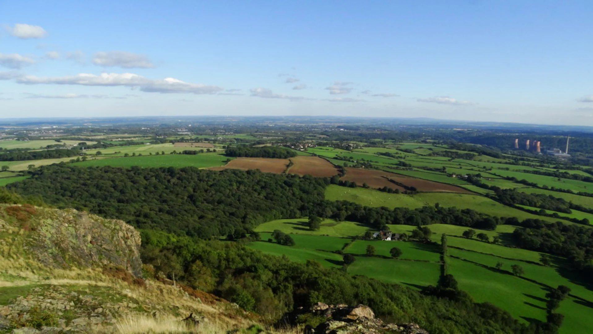
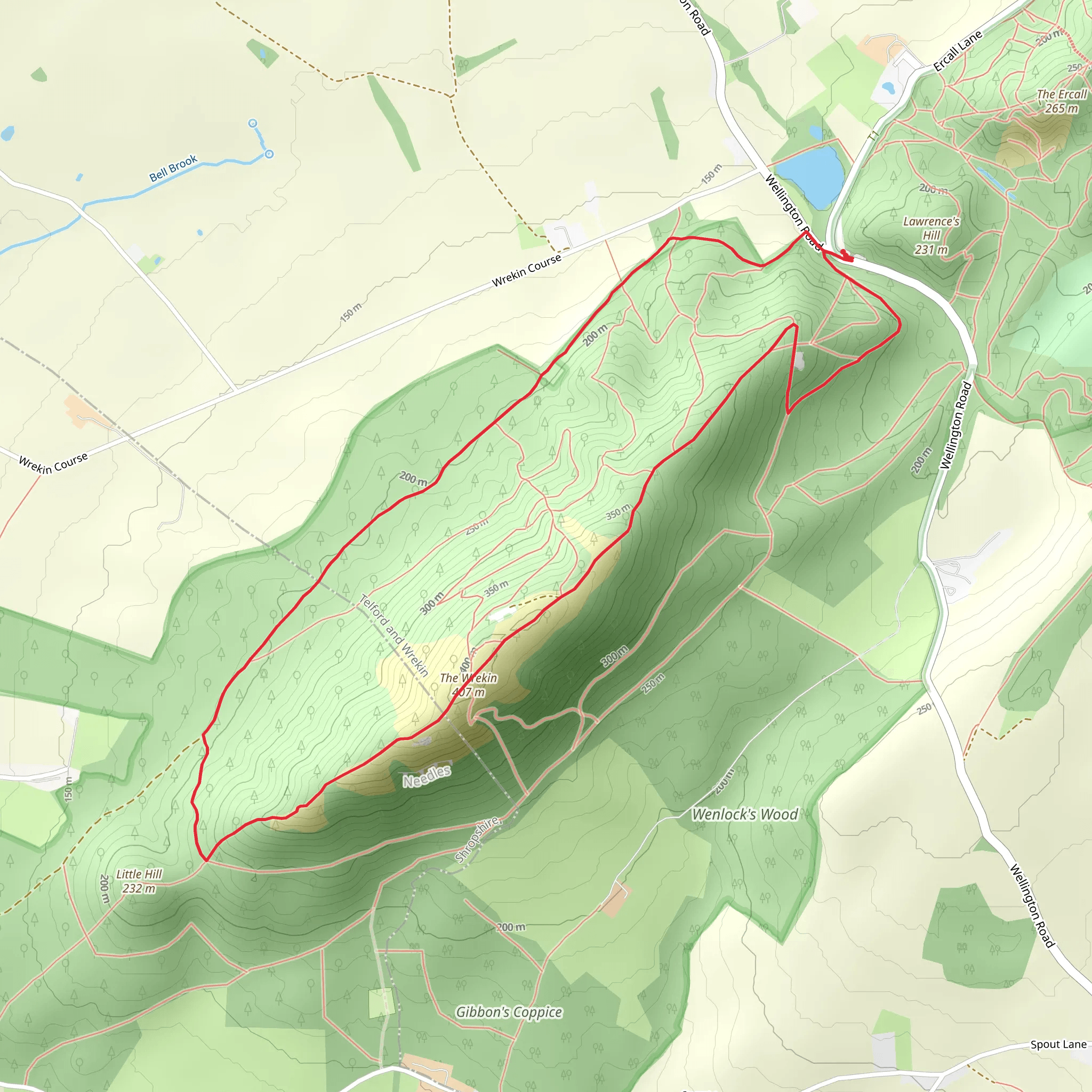
Starting near Telford and Wrekin, England, the Wrekin Loop is a captivating 6 km (approximately 3.7 miles) trail that offers a moderate challenge with an elevation gain of around 300 meters (about 984 feet). This loop trail is perfect for those looking to immerse themselves in the natural beauty and historical richness of the area.### Getting There To reach the trailhead, you can drive or use public transport. If driving, set your GPS to the Wrekin car park near Wellington, Telford, which is the nearest known address. For those using public transport, take a train to Wellington Station, which is well-connected from major cities like Birmingham and Shrewsbury. From Wellington Station, you can catch a local bus or taxi to the Wrekin car park.### Trail Overview The trail begins at the Wrekin car park and immediately introduces you to a lush woodland setting. The initial section is a gentle ascent, allowing you to warm up as you navigate through a canopy of oak and beech trees. After approximately 1 km (0.6 miles), the trail starts to steepen, and you’ll notice the terrain becoming rockier.### Significant Landmarks As you ascend, keep an eye out for the Halfway House, a small shelter that marks the midpoint of your climb. This is a great spot to take a short break and enjoy the surrounding views. Continuing upwards, you’ll reach the summit of The Wrekin, which stands at 407 meters (1,335 feet) above sea level. Here, you’ll find the remains of an Iron Age hill fort, offering a glimpse into the area's ancient history.### Nature and Wildlife The Wrekin Loop is home to a variety of flora and fauna. In the spring and summer months, the trail is adorned with wildflowers such as bluebells and foxgloves. Birdwatchers will be delighted by the presence of species like the green woodpecker and the common buzzard. Keep your eyes peeled for small mammals like rabbits and squirrels darting through the underbrush.### Descent and Return The descent begins after you’ve soaked in the panoramic views from the summit. The trail loops around, offering a more gradual decline through mixed woodland. This section is less strenuous but requires careful footing, especially after rain when the path can become slippery. After about 4 km (2.5 miles) from the start, you’ll encounter the Ercall Wood, a serene area known for its geological significance, including ancient rock formations dating back millions of years.### Navigation and Safety For navigation, it’s highly recommended to use the HiiKER app, which provides detailed maps and real-time updates. The trail is well-marked, but having a reliable navigation tool ensures you stay on track. Wear sturdy hiking boots and bring plenty of water, as the elevation gain can be quite demanding. Weather can change rapidly, so pack a waterproof jacket and check the forecast before setting out.### Historical Significance The Wrekin is steeped in history, with its summit fort dating back to the Iron Age. Local folklore also adds a layer of mystique, with tales of giants and ancient battles. The hill has been a significant landmark for centuries, even mentioned in medieval Welsh poetry.This trail offers a perfect blend of natural beauty, wildlife, and historical intrigue, making it a must-visit for any hiking enthusiast.
What to expect?
Activity types
Comments and Reviews
User comments, reviews and discussions about the The Wrekin Loop, England.
4.29
average rating out of 5
7 rating(s)

