Hope House Way trail stages
stage 1
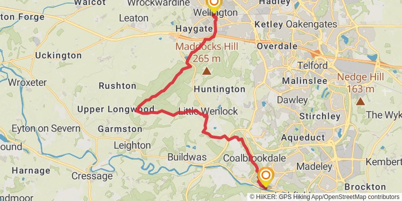
Starting at: Telford and Wrekin, TF1 1LX
Ending at: Ironbridge, Telford and Wrekin, TF8 7AD
Distance: 16.2 km
Elevation gain: 531 m
Duration: 04:07:11
View on mapstage 2
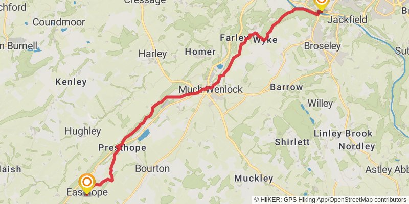
Starting at: Ironbridge, Telford and Wrekin, TF8 7AD
Ending at: Easthope, Shropshire, TF13 6DN
Distance: 16.6 km
Elevation gain: 523 m
Duration: 04:11:47
View on mapstage 3
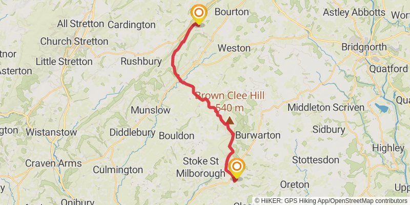
Starting at: Easthope, Shropshire, TF13 6DN
Ending at: Bromdon, Shropshire, WV16 6QU
Distance: 20.4 km
Elevation gain: 600 m
Duration: 05:04:24
View on mapstage 4
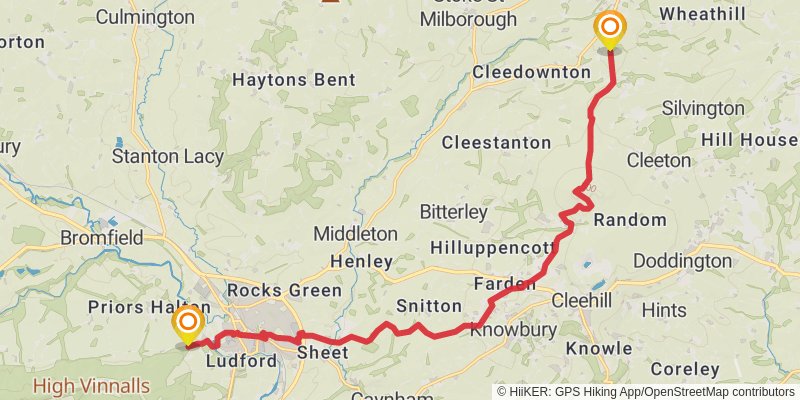
Starting at: Bromdon, Shropshire, WV16 6QU
Ending at: Bromfield, Shropshire, SY8 1GF
Distance: 17.5 km
Elevation gain: 419 m
Duration: 04:11:33
View on mapstage 5
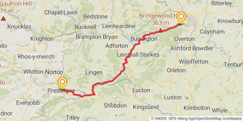
Starting at: Bromfield, Shropshire, SY8 1GF
Ending at: Presteigne, Powys, LD8 2AG
Distance: 27.4 km
Elevation gain: 549 m
Duration: 06:24:02
View on mapstage 6
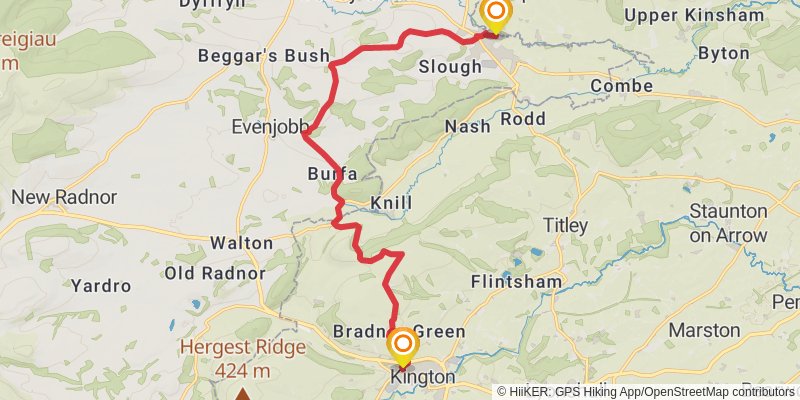
Starting at: Powys, LD8 2AQ
Ending at: Kington, Herefordshire, HR5 3AG
Distance: 15.0 km
Elevation gain: 506 m
Duration: 03:50:08
View on mapstage 7
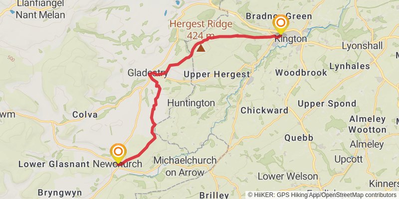
Starting at: Herefordshire, HR5 3AG
Ending at: Newchurch, Powys, HR5 3QF
Distance: 13.1 km
Elevation gain: 434 m
Duration: 03:20:46
View on mapstage 8
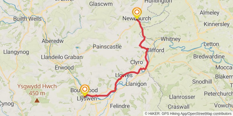
Starting at: Newchurch, Powys, HR5 3QF
Ending at: Llyswen, Powys, LD3 0LJ
Distance: 23.5 km
Elevation gain: 310 m
Duration: 05:12:38
View on mapstage 9
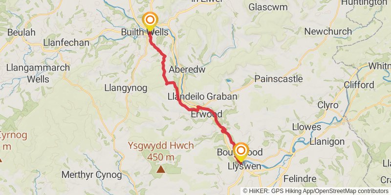
Starting at: Llyswen, Powys, LD3 0YB
Ending at: Builth Wells, Powys, LD2 3DJ
Distance: 19.7 km
Elevation gain: 522 m
Duration: 04:48:38
View on mapstage 10
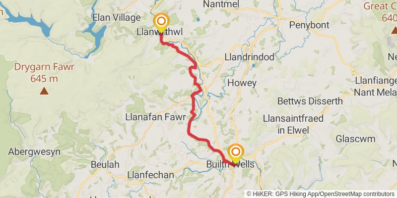
Starting at: Powys, LD2 3DJ
Ending at: Llanwrthwl, Powys, LD1 6NS
Distance: 19.9 km
Elevation gain: 353 m
Duration: 04:34:20
View on mapstage 11
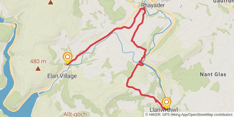
Starting at: Llanwrthwl, Powys, LD1 6NS
Ending at: Elan Village, Powys, LD6 5HY
Distance: 10.5 km
Elevation gain: 329 m
Duration: 02:39:10
View on mapstage 12
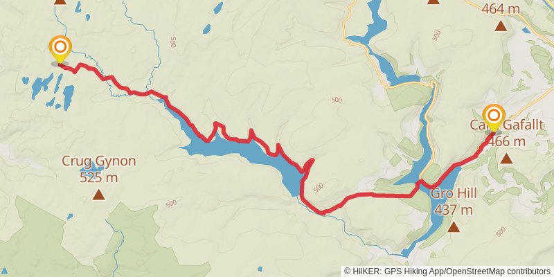
Starting at: Elan Village, Powys, LD6 5HY
Ending at: Ceredigion, SY25 6BT
Distance: 22.3 km
Elevation gain: 681 m
Duration: 05:35:33
View on mapstage 13
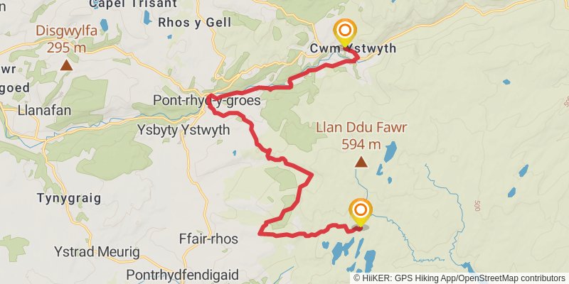
Starting at: Ceredigion, SY25 6BT
Distance: 18.1 km
Elevation gain: 442 m
Duration: 04:21:42
View on mapstage 14
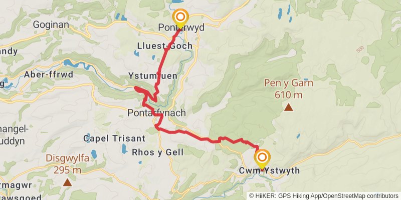
Starting at: Pontarfynach, Ceredigion, SY23 4AD
Ending at: Ponterwyd, Ceredigion, SY23 3JX
Distance: 15.3 km
Elevation gain: 584 m
Duration: 04:01:56
View on mapstage 15
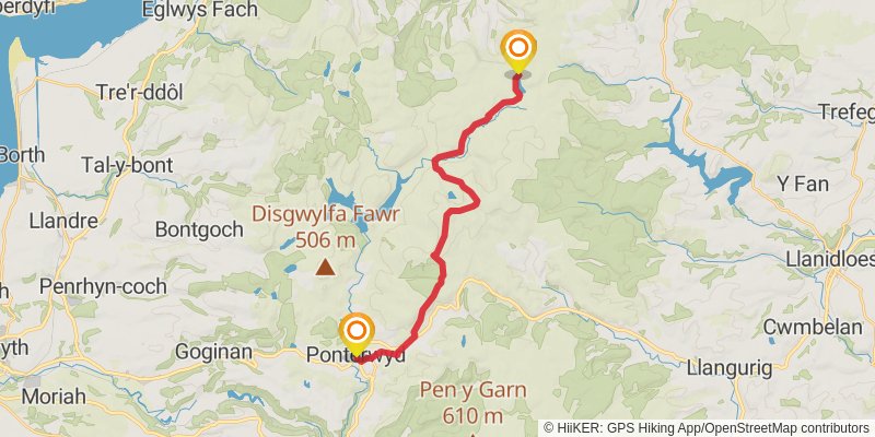
Starting at: Ponterwyd, Ceredigion, SY23 3JU
Ending at: Bugeilyn, Powys
Distance: 19.4 km
Elevation gain: 825 m
Duration: 05:15:40
View on mapstage 16
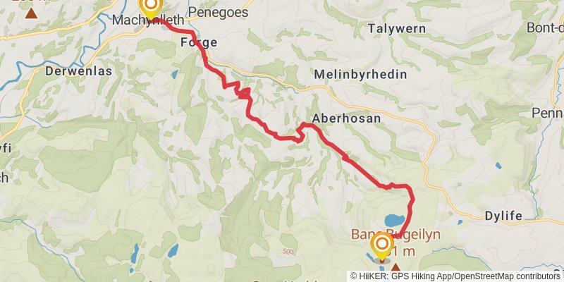
Starting at: Powys
Ending at: Machynlleth, Powys, SY20 8DT
Distance: 17.0 km
Elevation gain: 381 m
Duration: 04:02:00
View on mapstage 17
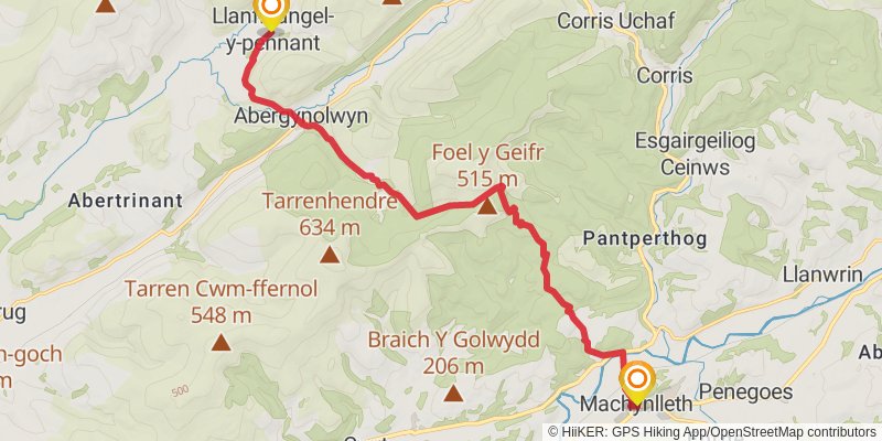
stage 18
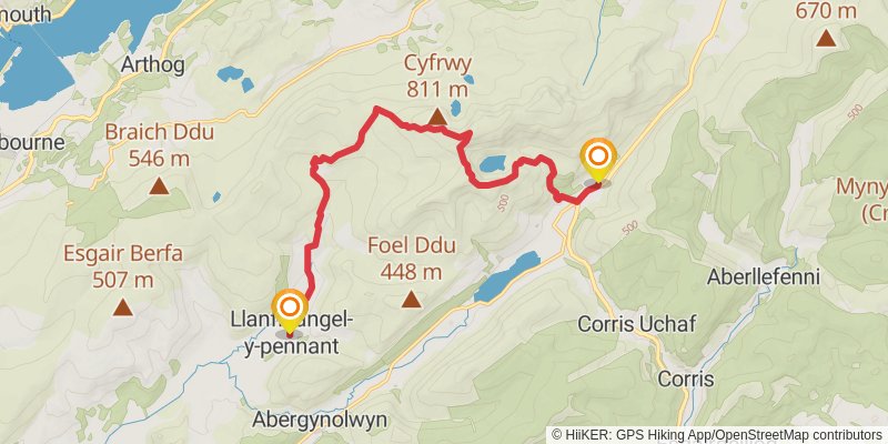
Starting at: Llanfihangel-y-pennant, Gwynedd, LL36 9TS
Distance: 13.9 km
Elevation gain: 973 m
Duration: 04:23:54
View on mapstage 19
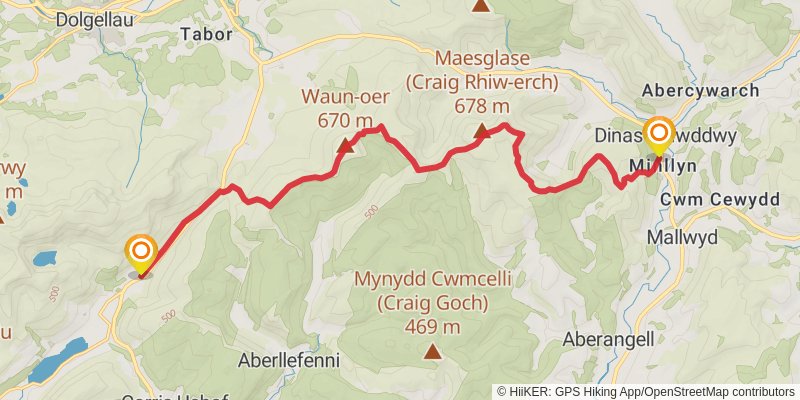
Starting at: Gwynedd, SY20 9RH
Ending at: Dinas Mawddwy, Gwynedd, SY20 9LN
Distance: 17.7 km
Elevation gain: 1140 m
Duration: 05:26:20
View on mapstage 20
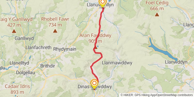
Starting at: Dinas Mawddwy, Gwynedd, SY20 9LW
Ending at: Llanuwchllyn, Gwynedd, LL23 7TP
Distance: 19.5 km
Elevation gain: 1046 m
Duration: 05:38:47
View on mapstage 21
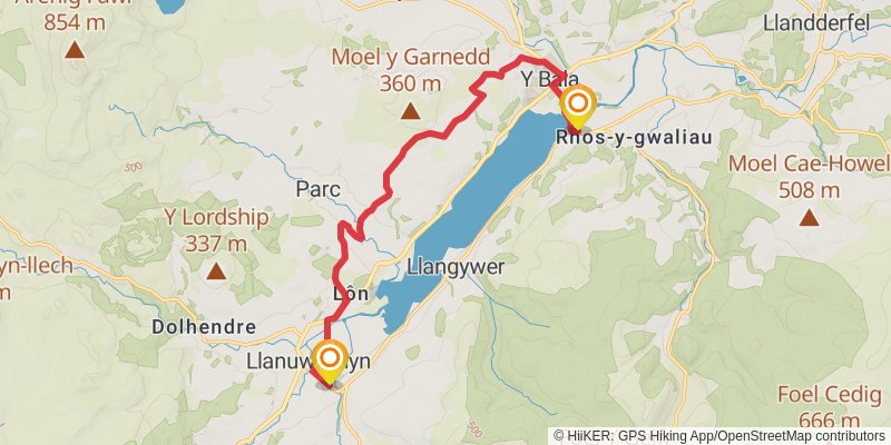
Starting at: Llanuwchllyn, Gwynedd, LL23 7TP
Ending at: Pen y Bont, Llangywer, Gwynedd, LL23 7BS
Distance: 13.3 km
Elevation gain: 250 m
Duration: 03:04:29
View on mapstage 22
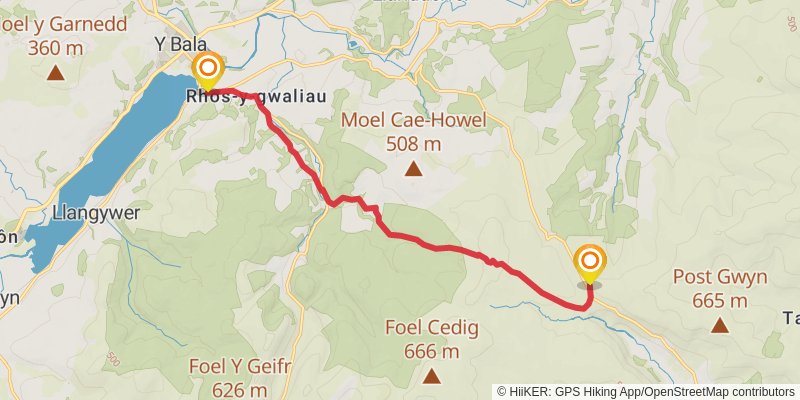
Starting at: Llangywer, Gwynedd, LL23 7BS
Ending at: Llangynog, Powys, SY10 0EZ
Distance: 11.9 km
Elevation gain: 594 m
Duration: 03:22:31
View on mapstage 23
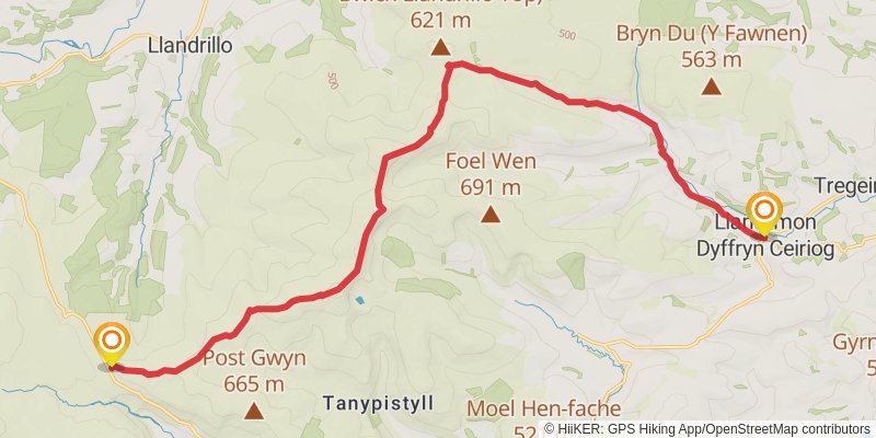
Starting at: Llangynog, Powys, SY10 0EZ
Ending at: Llanarmon Dyffryn Ceiriog, Wrexham, LL20 7LD
Distance: 19.7 km
Elevation gain: 519 m
Duration: 04:48:13
View on mapstage 24
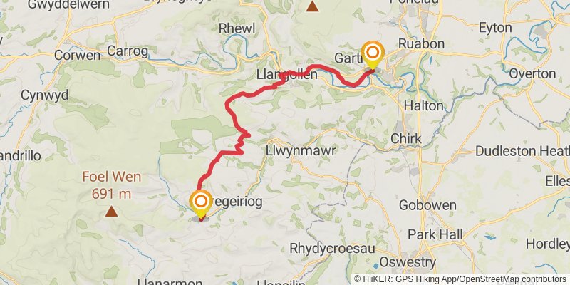
Starting at: Llanarmon Dyffryn Ceiriog, Wrexham, LL20 7LD
Ending at: Trevor, Wrexham, LL20 7UF
Distance: 23.5 km
Elevation gain: 633 m
Duration: 05:45:53
View on mapstage 25
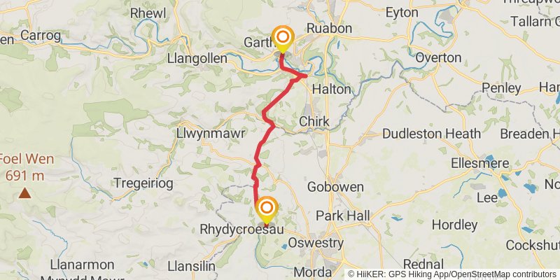
Starting at: Trevor, Wrexham, LL20 7TY
Ending at: Shropshire, SY10 7PQ
Distance: 15.9 km
Elevation gain: 603 m
Duration: 04:10:53
View on mapstage 26
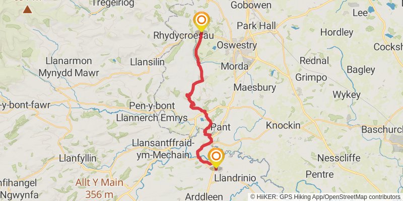
Starting at: Shropshire, SY10 7PQ
Ending at: Four Crosses, Powys, SY22 6RD
Distance: 19.4 km
Elevation gain: 373 m
Duration: 04:29:47
View on mapstage 27
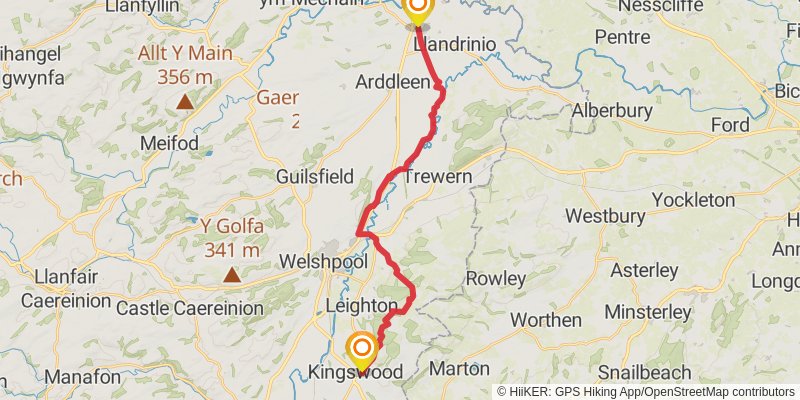
Starting at: Four Crosses, Powys, SY22 6RF
Ending at: Kingswood, Powys, SY21 8TR
Distance: 22.0 km
Elevation gain: 510 m
Duration: 05:14:31
View on mapstage 28
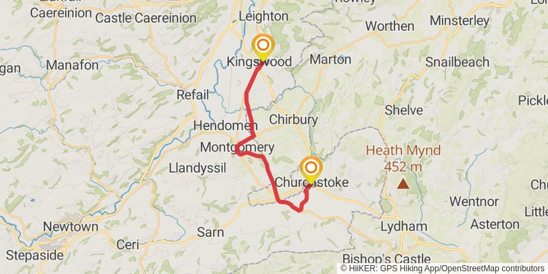
Starting at: Kingswood, Powys, SY21 8TR
Ending at: Churchstoke, Powys, SY15 6AW
Distance: 16.4 km
Elevation gain: 176 m
Duration: 03:34:23
View on mapstage 29
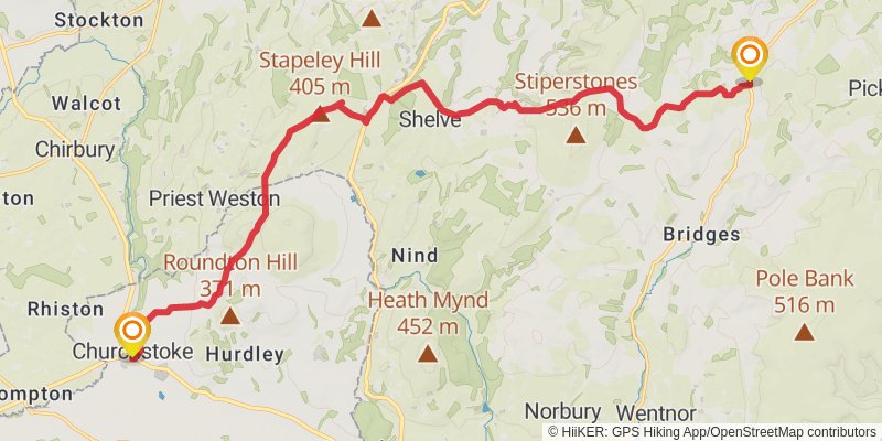
Starting at: Churchstoke, Powys, SY15 6AG
Ending at: Church Pulverbatch, Shropshire, SY5 0SW
Distance: 19.1 km
Elevation gain: 645 m
Duration: 04:53:49
View on mapstage 30
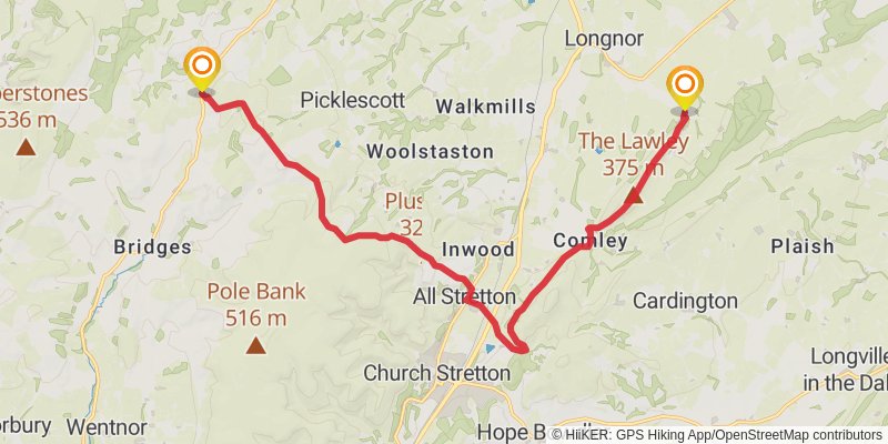
Starting at: Church Pulverbatch, Shropshire, SY5 0SW
Ending at: Cardington, Shropshire, SY5 7QJ
Distance: 17.1 km
Elevation gain: 515 m
Duration: 04:16:14
View on map