Download
Preview
Add to list
More
7.3 km
~1 hrs 53 min
260 m
Loop
“Explore serene reservoirs, panoramic moorlands, and rich history on this moderate 7 km Tameside loop trail.”
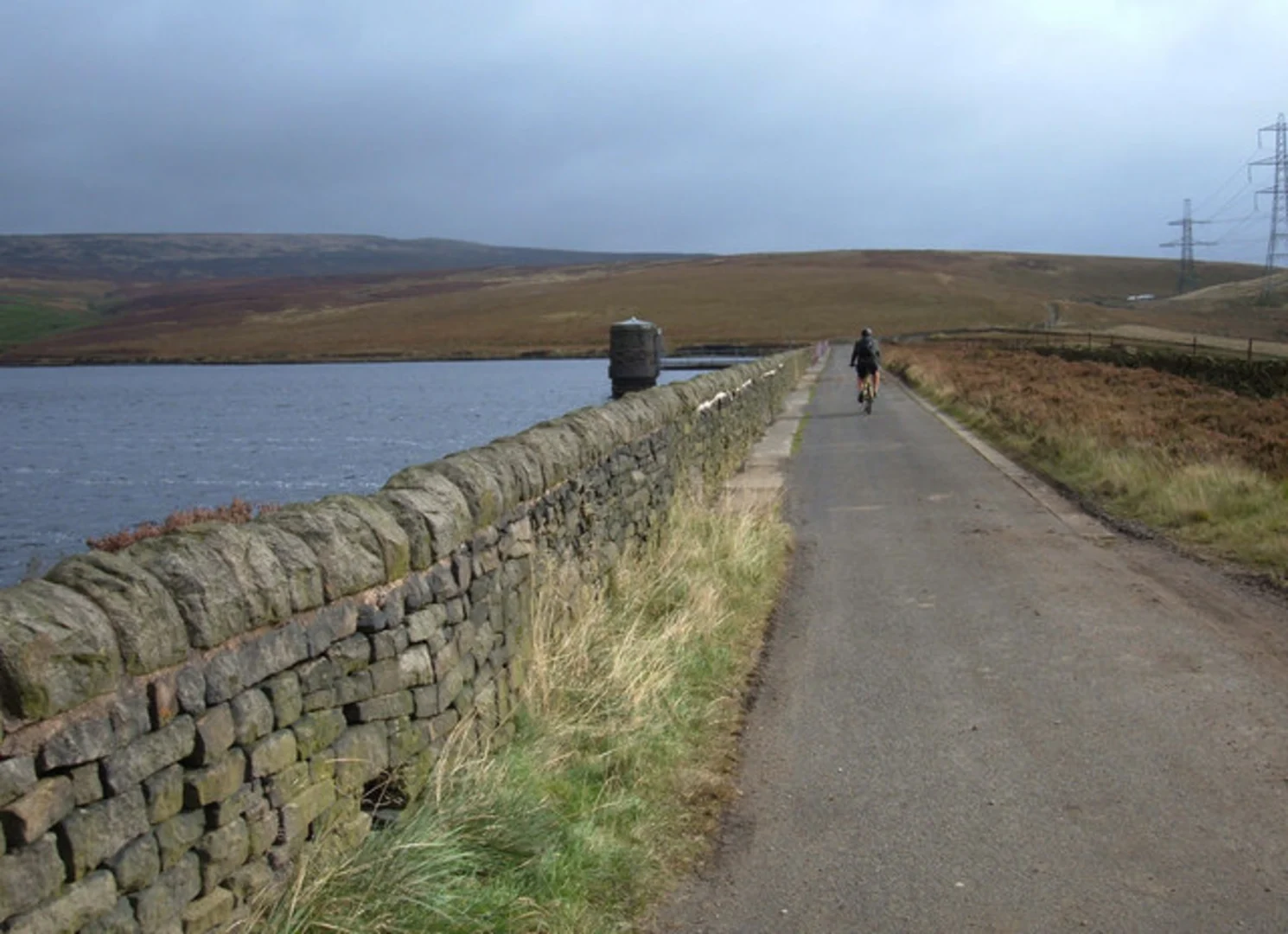
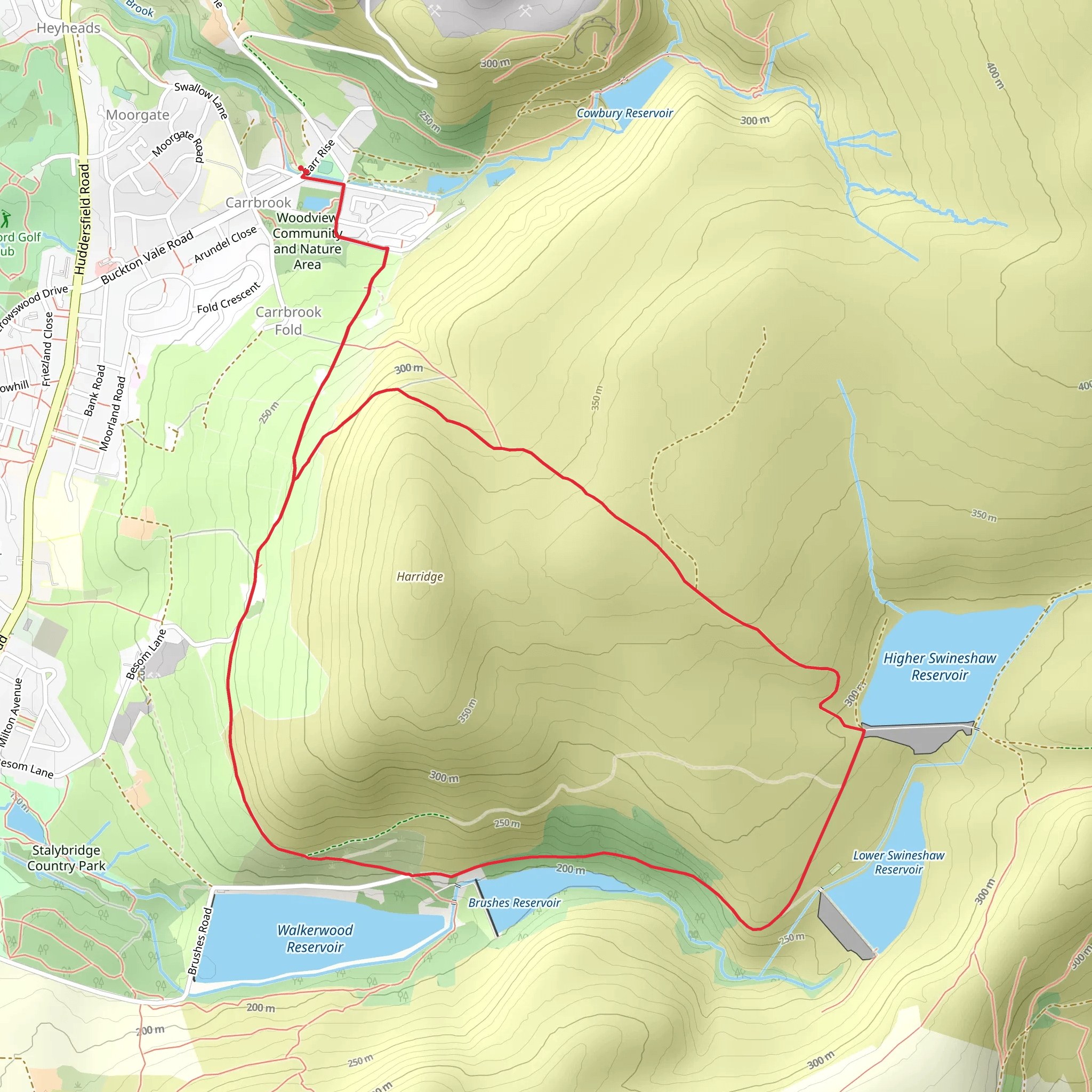
Starting your hike near Tameside, England, the Brushes Reservoir and Higher Swineshaw Reservoir Loop is a delightful 7 km (4.3 miles) journey with an elevation gain of around 200 meters (656 feet). This loop trail is rated as medium difficulty, making it suitable for moderately experienced hikers.### Getting There To reach the trailhead, you can drive or use public transport. If driving, set your GPS to the Brushes Clough Car Park, located near the Brushes Reservoir. For those using public transport, the nearest significant landmark is Stalybridge Railway Station. From the station, you can take a local bus or taxi to the car park.### Trail Navigation For navigation, it’s highly recommended to use the HiiKER app, which provides detailed maps and real-time updates to ensure you stay on track.### Trail Highlights The trail begins at the Brushes Clough Car Park, where you’ll immediately be greeted by the serene views of Brushes Reservoir. As you start your hike, you’ll follow a well-marked path that winds through a mix of woodland and open moorland.#### Brushes Reservoir Approximately 1 km (0.6 miles) into the hike, you’ll reach the Brushes Reservoir. This reservoir is a great spot for birdwatching, with species such as herons and kingfishers often spotted here. The path around the reservoir is relatively flat, making it an easy start to your hike.#### Higher Swineshaw Reservoir Continuing on, you’ll ascend gradually towards the Higher Swineshaw Reservoir. This section of the trail is about 3 km (1.9 miles) from the start and involves a moderate climb, gaining around 100 meters (328 feet) in elevation. The views from this higher vantage point are spectacular, offering panoramic vistas of the surrounding moorlands and valleys.### Historical Significance The area around Tameside has a rich industrial history. The reservoirs themselves were constructed in the 19th century to supply water to the burgeoning industrial towns nearby. As you hike, you may notice remnants of old stone structures and pathways that were once used by workers and engineers.### Flora and Fauna The trail is abundant with diverse flora and fauna. In the spring and summer months, the moorlands are carpeted with wildflowers, including heather and bilberry. You might also encounter wildlife such as rabbits, foxes, and a variety of bird species. Keep an eye out for kestrels and buzzards soaring above.### Final Stretch The final stretch of the loop brings you back down towards the Brushes Reservoir. This descent is gentle and offers a relaxing end to your hike. The path here is well-trodden and easy to follow, leading you back to the Brushes Clough Car Park.### Practical Tips - Wear sturdy hiking boots as the terrain can be uneven and muddy, especially after rain. - Bring a waterproof jacket, as the weather in this region can be unpredictable. - Carry enough water and snacks, as there are no facilities along the trail. - Use the HiiKER app for real-time navigation and updates.This loop trail offers a perfect blend of natural beauty, historical intrigue, and moderate physical challenge, making it a rewarding experience for any hiker.
What to expect?
Activity types
Comments and Reviews
User comments, reviews and discussions about the Brushes Reservoir and Higher Swineshaw Reservoir Loop, England.
5.0
average rating out of 5
1 rating(s)

