Download
Preview
Add to list
More
8.2 km
~1 hrs 52 min
144 m
Loop
“Explore the stunning views and rich history of the medium-difficulty Smeathe's Ridge Loop near Swindon.”
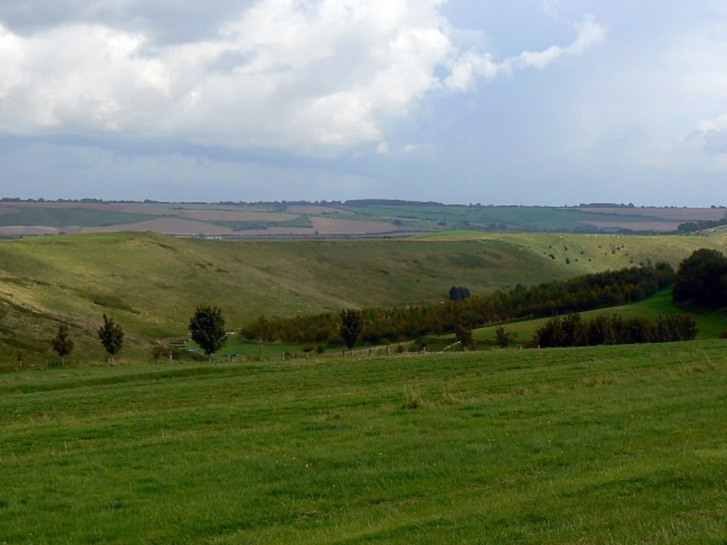
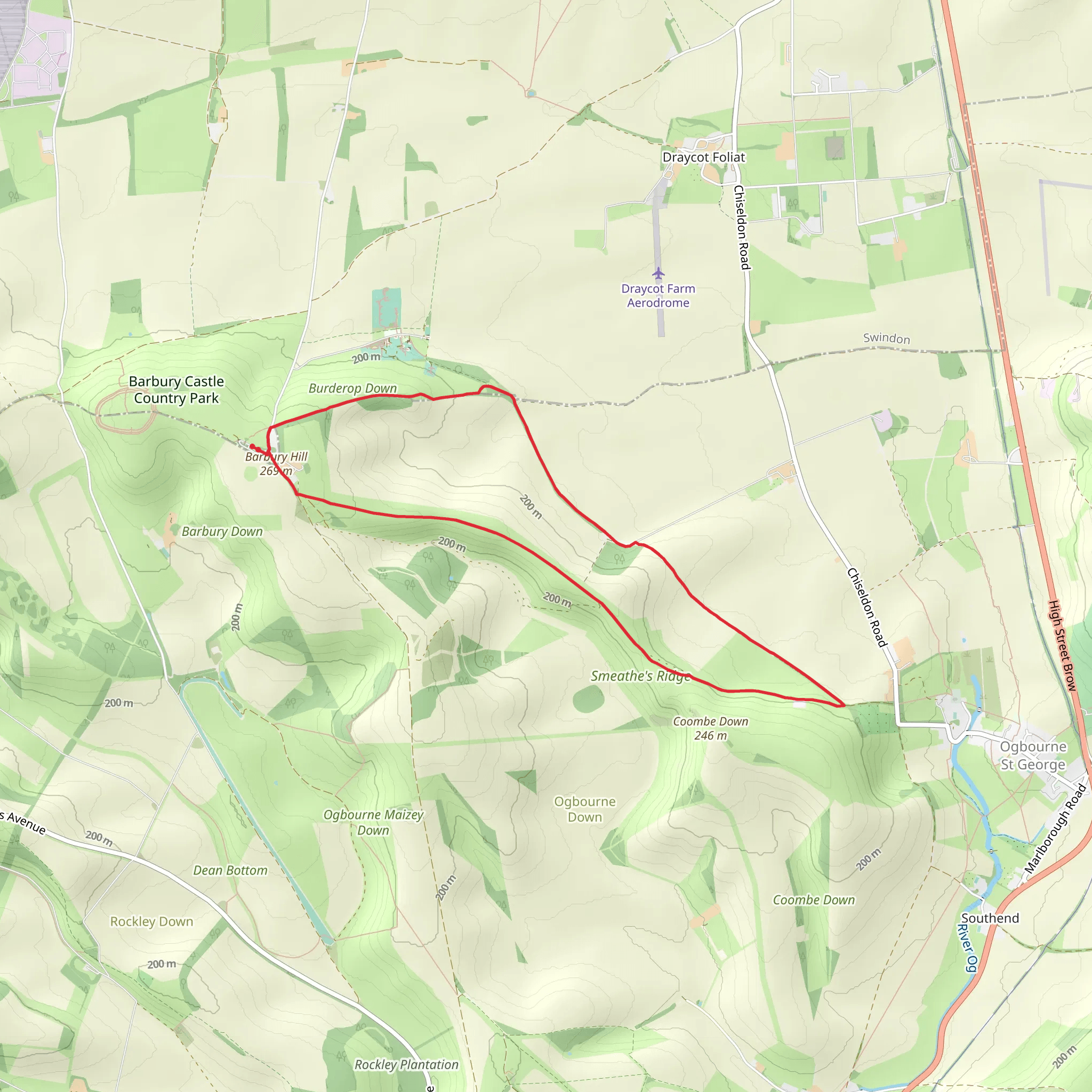
Starting near Swindon, England, the Smeathe's Ridge Loop is an 8 km (approximately 5 miles) trail with an elevation gain of around 100 meters (328 feet). This loop trail is rated as medium difficulty, making it suitable for moderately experienced hikers.### Getting There To reach the trailhead, you can drive or use public transport. If driving, head towards Barbury Castle Country Park, which is a well-known landmark near the trailhead. For those using public transport, the nearest major station is Swindon Railway Station. From there, you can take a local bus or taxi to Barbury Castle Country Park.### Trail Overview The trail begins at Barbury Castle Country Park, a site rich in history. Barbury Castle itself is an Iron Age hill fort, offering panoramic views of the surrounding countryside. As you start your hike, you'll be walking along the Ridgeway National Trail, one of the oldest paths in Britain.### Key Sections and Landmarks - Barbury Castle to Hackpen Hill (0-2 km / 0-1.2 miles): The initial section takes you from Barbury Castle towards Hackpen Hill. This part of the trail is relatively flat and offers stunning views of the Marlborough Downs. Keep an eye out for the Hackpen White Horse, a chalk figure carved into the hillside, which is a significant landmark in the area.- Hackpen Hill to Smeathe's Ridge (2-4 km / 1.2-2.5 miles): As you continue, the trail gradually ascends towards Smeathe's Ridge. This section involves a gentle climb, gaining about 50 meters (164 feet) in elevation. The ridge itself provides expansive views of the Wiltshire countryside, making it a perfect spot for a short break.- Smeathe's Ridge to Ogbourne St. George (4-6 km / 2.5-3.7 miles): Descending from Smeathe's Ridge, the trail leads you towards the village of Ogbourne St. George. This part of the hike is mostly downhill, passing through open fields and small woodlands. The village is a great place to explore local history, with its charming church and traditional English cottages.- Ogbourne St. George to Barbury Castle (6-8 km / 3.7-5 miles): The final leg of the loop takes you back to Barbury Castle. This section is relatively flat and easy, allowing you to enjoy the serene landscape. As you approach the end of the trail, you'll pass through more open fields and might spot some local wildlife, such as deer and various bird species.### Nature and Wildlife The Smeathe's Ridge Loop offers a diverse range of flora and fauna. The chalk grasslands are home to wildflowers like orchids and cowslips, especially vibrant in the spring and summer months. Birdwatchers will appreciate the variety of species, including skylarks, red kites, and kestrels. Keep an eye out for butterflies, particularly the rare Adonis blue.### Historical Significance The trail is steeped in history, from the ancient Barbury Castle to the Hackpen White Horse. The Ridgeway itself is an ancient trackway, used for over 5,000 years by travelers, traders, and armies. Walking this trail is like stepping back in time, offering a glimpse into England's rich past.### Navigation For navigation, it's recommended to use the HiiKER app, which provides detailed maps and real-time updates to ensure you stay on track. The trail is well-marked, but having a reliable navigation tool can enhance your hiking experience.Prepare adequately with water, snacks, and appropriate clothing, as weather conditions can change rapidly. Enjoy the blend of natural beauty and historical intrigue that the Smeathe's Ridge Loop has to offer.
What to expect?
Activity types
Comments and Reviews
User comments, reviews and discussions about the Smeathe's Ridge Loop, England.
4.0
average rating out of 5
1 rating(s)

