Download
Preview
Add to list
More
56.2 km
~3 days
499 m
Multi-Day
“Embark on the Wey South Path for a historical and scenic hike through Southern England's captivating landscapes.”
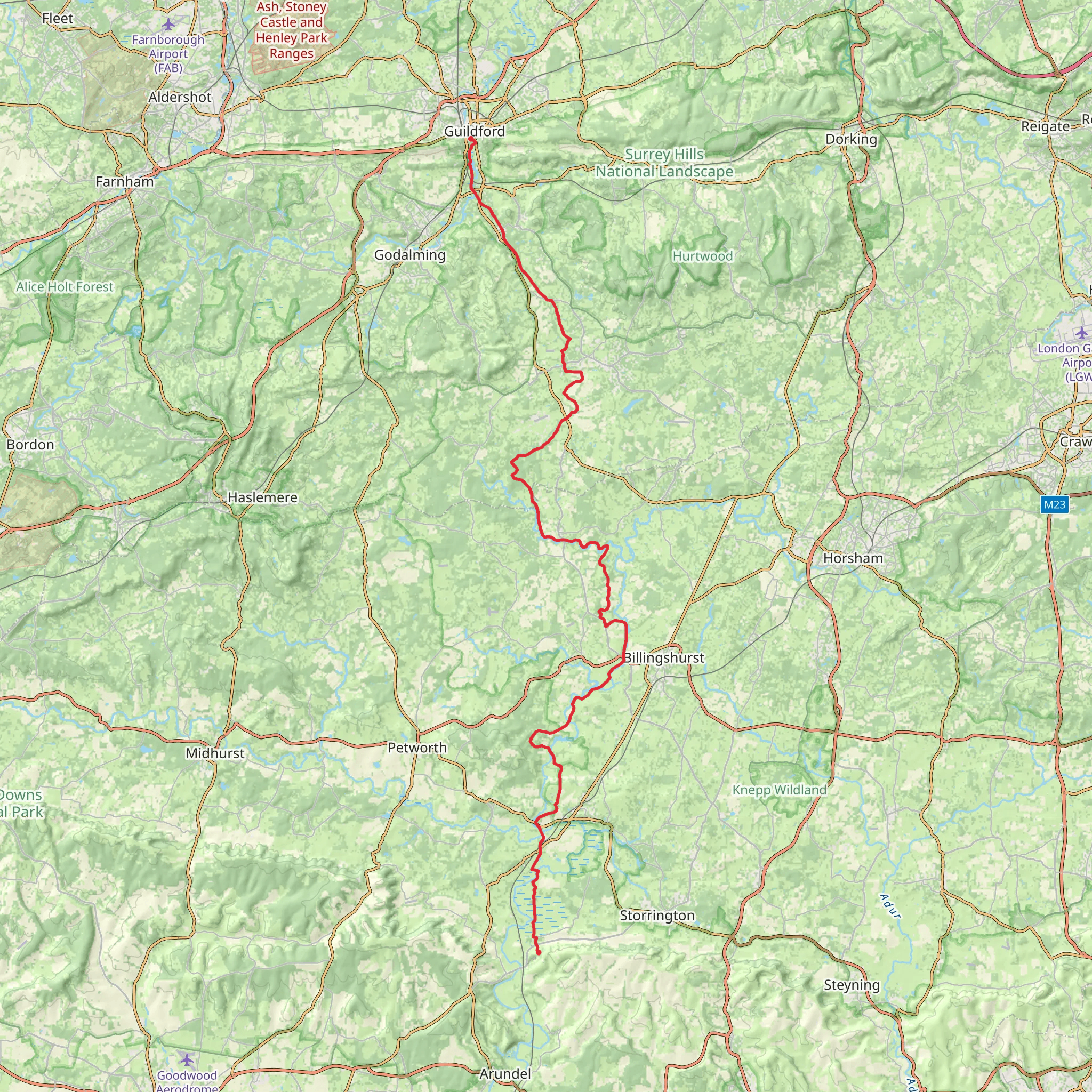
Spanning approximately 56 kilometers (about 35 miles) with an elevation gain of around 500 meters (approximately 1640 feet), the Wey South Path offers a medium-difficulty hiking experience through the picturesque heart of Southern England. This point-to-point trail begins near Surrey, close to the town of Guildford, and meanders southward to end near the historic city of Chichester in West Sussex.
Getting to the Trailhead
To reach the starting point of the Wey South Path, hikers can use public transport by catching a train to Guildford station and then taking a local bus service towards the trailhead. For those driving, parking is available near the trail's northern terminus, which is situated close to the A281, on the outskirts of Guildford.
Navigating the Trail
As you embark on the Wey South Path, you'll follow the route of the Wey & Arun Canal, which is steeped in history. The canal was an important waterway in the 19th century, used for transporting goods between London and the South Coast. Although much of the canal fell into disuse, restoration efforts are ongoing, and the trail offers a unique glimpse into England's industrial past.
Historical Landmarks and Natural Beauty
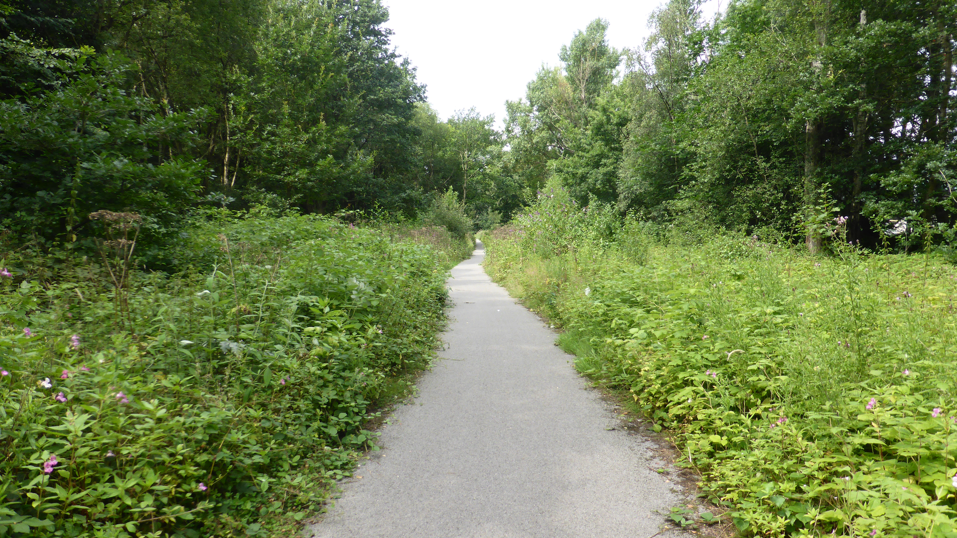
The trail is well-marked, and hikers can use the HiiKER app for navigation, ensuring they stay on the correct path while enjoying the surrounding landscapes. Along the route, you'll pass through a mix of serene countryside, quiet woodlands, and charming villages. Notable landmarks include the Loxwood Lock, which has been beautifully restored, and the Devil's Hole Lock, providing insight into the canal's operational heritage.
Approximately halfway through the hike, near the 28-kilometer (17-mile) mark, you'll encounter the South Downs National Park, a region known for its rolling hills and diverse wildlife. Keep an eye out for native birds, deer, and other fauna that inhabit this protected area.
Preparation and Considerations
The trail's terrain is varied, with some sections that may be muddy or uneven, so proper hiking boots are recommended. The path is accessible year-round, but spring and autumn offer particularly pleasant temperatures and scenery. Hikers should carry sufficient water and snacks, as there are stretches of the path with limited facilities. It's also advisable to pack a lightweight rain jacket, as the weather can be unpredictable.
Given the trail's length, some may choose to complete it in sections or plan an overnight stay in one of the villages along the route. Accommodations range from quaint bed and breakfasts to more rustic camping options, allowing for a restful break before continuing the journey.
Wildlife and Conservation
As you traverse the Wey South Path, you'll be walking through areas of significant ecological importance. The trail crosses several Sites of Special Scientific Interest (SSSI), which are protected to conserve their unique flora and fauna. Hikers are encouraged to respect these habitats by sticking to the marked trail and leaving no trace of their visit.
End of the Trail
The trail concludes near Chichester, a city known for its stunning cathedral and Roman history. Upon reaching the southern end of the Wey South Path, hikers can explore the city's rich heritage before catching a train or bus for their return journey. Public transport links from Chichester back to Guildford or onwards to London and other destinations are frequent and convenient.
What to expect?
Activity types
Comments and Reviews
User comments, reviews and discussions about the Wey South Path, England.
4.67
average rating out of 5
6 rating(s)

