Download
Preview
Add to list
More
7.8 km
~1 hrs 54 min
217 m
Loop
“Explore diverse landscapes and rich history on this 8 km Surrey loop trail with stunning views.”
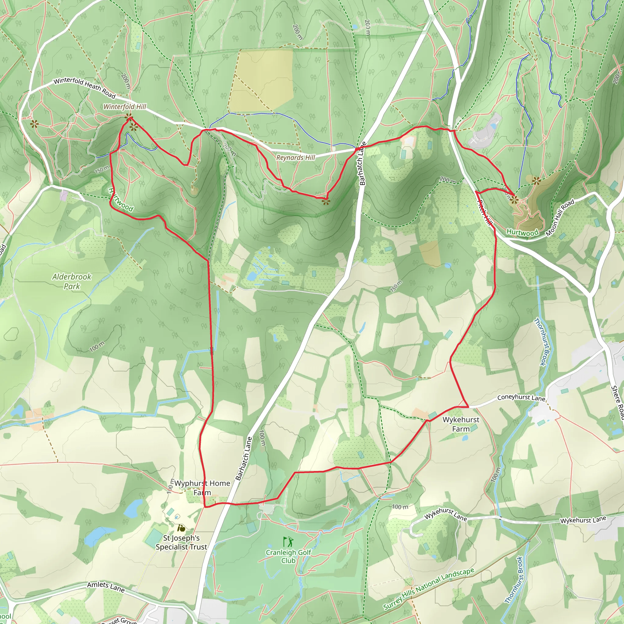
Starting near Surrey, England, this 8 km (approximately 5 miles) loop trail offers a moderate challenge with an elevation gain of around 200 meters (656 feet). The trailhead is conveniently accessible by car or public transport. If you're driving, you can park near the Hurtwood Control Car Park 3, located off the B2128 road. For those using public transport, the nearest train station is in Gomshall, from where you can take a local taxi or bus to the trailhead.
Initial Ascent and Pitch Hill
The hike begins with a gradual ascent towards Pitch Hill. This section is characterized by a mix of woodland and open heathland, providing a variety of flora and fauna. Keep an eye out for native bird species such as the European robin and the common blackbird. The initial climb is steady but manageable, gaining about 100 meters (328 feet) in elevation over the first 2 km (1.2 miles).
Wykehurst and Winterfold Hill
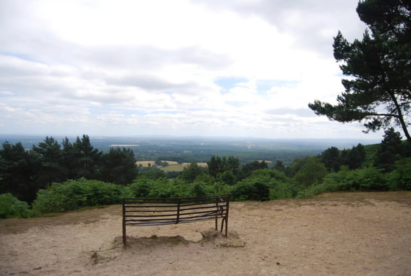
As you continue, the trail leads you towards Wykehurst and Winterfold Hill. This part of the hike is particularly scenic, offering panoramic views of the Surrey Hills Area of Outstanding Natural Beauty. The terrain here is a mix of forest paths and open clearings. At around the 4 km (2.5 miles) mark, you'll reach the highest point of the trail at Winterfold Hill, which stands at approximately 200 meters (656 feet) above sea level. This is a great spot to take a break and enjoy the views.
Historical Significance
The area around Winterfold Hill has a rich history. During World War II, it was used as a training ground for the British Army. You might notice remnants of old military installations if you look closely. Additionally, the Surrey Hills have been inhabited since prehistoric times, and you may come across ancient earthworks and burial mounds.
Descent and Teynards Hill
The descent begins as you head towards Teynards Hill. This section is less steep but requires careful footing, especially if the ground is wet. The trail meanders through dense woodland, where you can spot various types of fungi and mosses. At around the 6 km (3.7 miles) mark, you'll start to notice the terrain leveling out as you approach Teynards Hill.
Final Stretch
The final 2 km (1.2 miles) of the loop take you through a mix of open fields and wooded areas, eventually leading you back to the trailhead. This part of the hike is relatively flat, making for a pleasant and relaxing end to your journey. Along the way, you might encounter local wildlife such as deer and foxes, especially during the early morning or late afternoon.
Navigation
For navigation, it's highly recommended to use the HiiKER app, which provides detailed maps and real-time updates. This will ensure you stay on track and can fully enjoy the natural beauty and historical significance of the trail.
This loop trail offers a well-rounded hiking experience, combining moderate physical challenge with rich natural and historical elements. Whether you're a seasoned hiker or a casual walker, this trail has something to offer for everyone.
What to expect?
Activity types
Comments and Reviews
User comments, reviews and discussions about the Pitch Hill, Wykehurst, Winterfold Hill and teynards Hill Loop, England.
4.38
average rating out of 5
8 rating(s)

