Greensand Way trail stages
stage 1
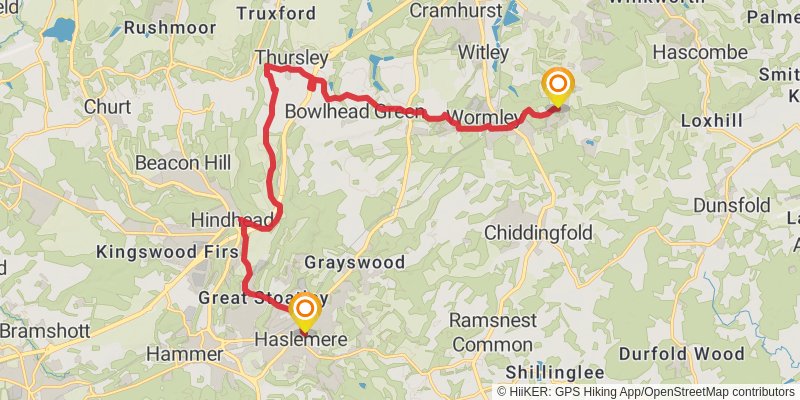
Starting at: Waverley, Surrey, GU27 2LA
Ending at: Pendleton Cottage, Waverley, Surrey, GU8 4HJ
Distance: 17.9 km
Elevation gain: 342 m
Duration: 04:08:27
View on mapstage 2

Starting at: Hambledon, Waverley, Surrey, GU8 4HJ
Ending at: The King's Head, Guildford, Surrey, RH5 6NP
Distance: 22.1 km
Elevation gain: 556 m
Duration: 05:20:20
View on mapstage 3

Starting at: Holmbury St Mary, Surrey, RH5 6NP
Ending at: Pump, Mole Valley, Surrey, RH3 7JN
Distance: 18.6 km
Elevation gain: 376 m
Duration: 04:21:08
View on mapstage 4
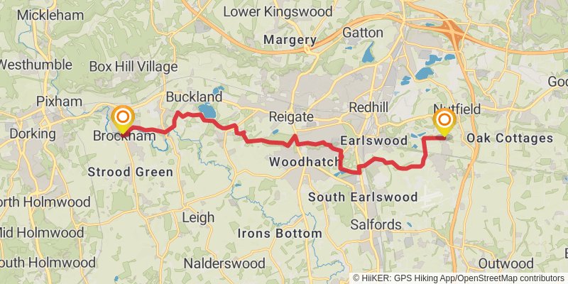
Starting at: Brockham, Mole Valley, Surrey, RH3 7JJ
Ending at: South Nutfield, Surrey, RH1 4JU
Distance: 15.2 km
Elevation gain: 260 m
Duration: 03:27:57
View on mapstage 5

Starting at: South Nutfield, Surrey, RH1 4JU
Ending at: Sevenoaks, Kent, TN16 1PW
Distance: 22.0 km
Elevation gain: 484 m
Duration: 05:12:50
View on mapstage 6
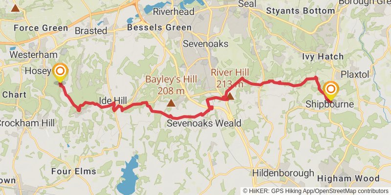
Starting at: French Street, Kent, TN16 1PW
Distance: 19.2 km
Elevation gain: 472 m
Duration: 04:38:08
View on mapstage 7

Starting at: Shipbourne, Tonbridge and Malling, Kent, TN11 9PE
Ending at: Maidstone, Kent, ME17 4AW
Distance: 20.0 km
Elevation gain: 343 m
Duration: 04:34:24
View on mapstage 8
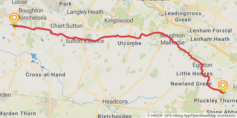
Starting at: Linton, Kent, ME17 4AW
Ending at: Ashford, Kent, TN27 0QS
Distance: 21.7 km
Elevation gain: 335 m
Duration: 04:53:23
View on mapstage 9
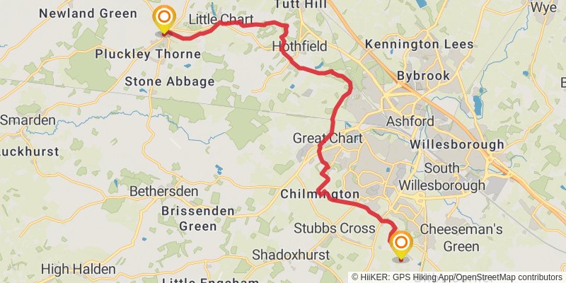
Starting at: Pluckley, Kent, TN27 0QS
Distance: 17.5 km
Elevation gain: 148 m
Duration: 03:44:14
View on mapstage 10
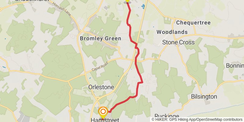
Starting at: Kingsnorth, Kent, TN26 1NG
Ending at: The Street, Ashford, Kent, TN26 2DS
Distance: 6.2 km
Elevation gain: 43 m
Duration: 01:18:28
View on map