Download
Preview
Add to list
More
8.7 km
~1 hrs 53 min
95 m
Loop
“The Wrottesley Loop offers a captivating 9 km hike through diverse English countryside, rich in history and wildlife.”
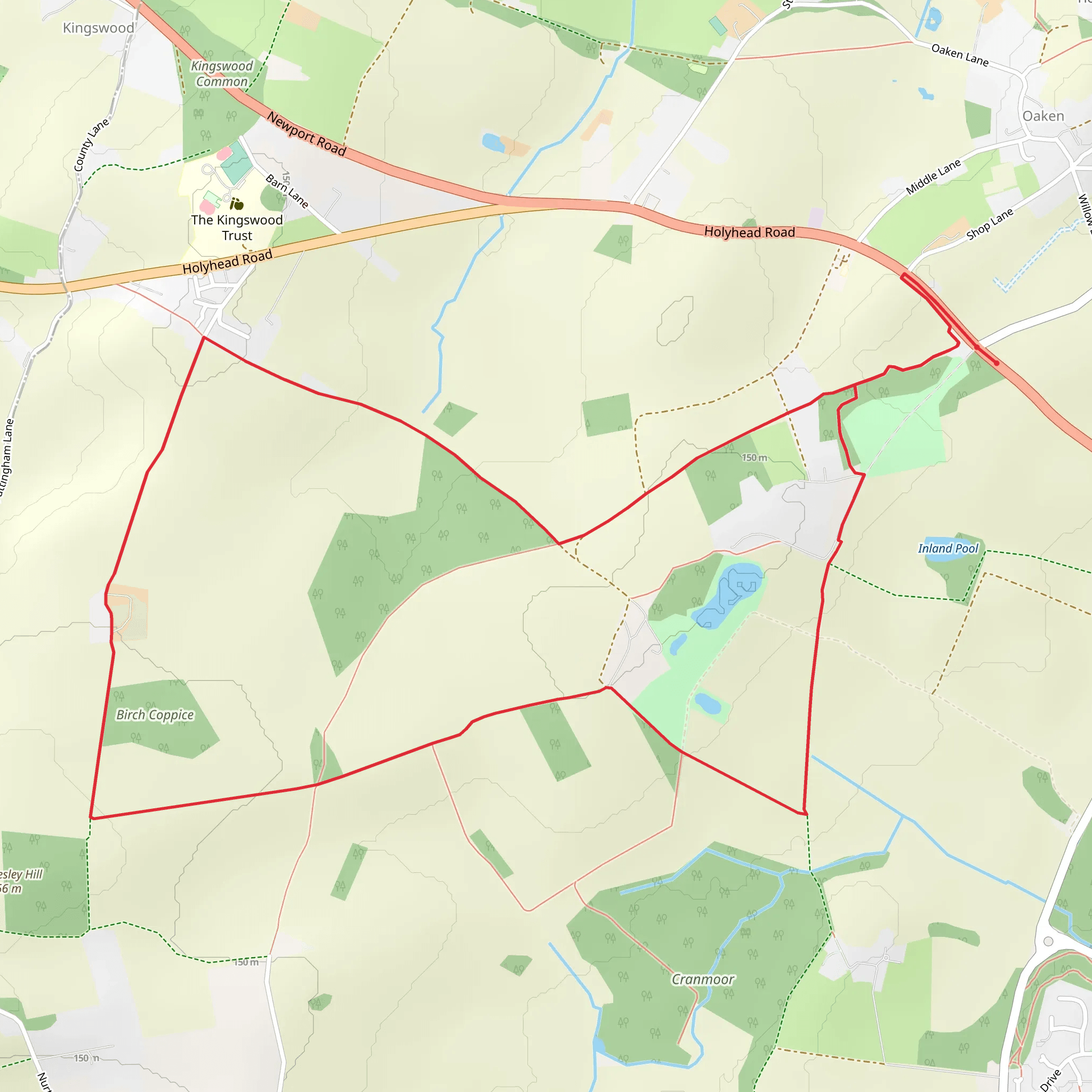
Starting near Staffordshire, England, the Wrottesley Loop is a delightful 9 km (approximately 5.6 miles) loop trail with no significant elevation gain, making it an accessible yet engaging hike for those looking to explore the English countryside. The trailhead is conveniently located near the Wrottesley Park Road, which is easily accessible by both car and public transport. If you're driving, you can park at the Wrottesley Park Road car park. For those using public transport, the nearest bus stop is on Wrottesley Park Road, serviced by local bus routes.
Trail Overview
The Wrottesley Loop is classified as a medium difficulty trail, primarily due to its length rather than any challenging terrain. The path meanders through a mix of open fields, woodlands, and charming rural landscapes, offering a variety of scenery to keep hikers engaged. The trail is well-marked, but it's always a good idea to have a reliable navigation tool like HiiKER to ensure you stay on track.
Key Landmarks and Points of Interest
Wrottesley Hall: One of the most significant landmarks along the trail is Wrottesley Hall, a historic estate dating back to the 18th century. The hall itself is not open to the public, but the surrounding grounds offer a picturesque backdrop for your hike. The estate's history is rich, having been home to the Wrottesley family for generations.
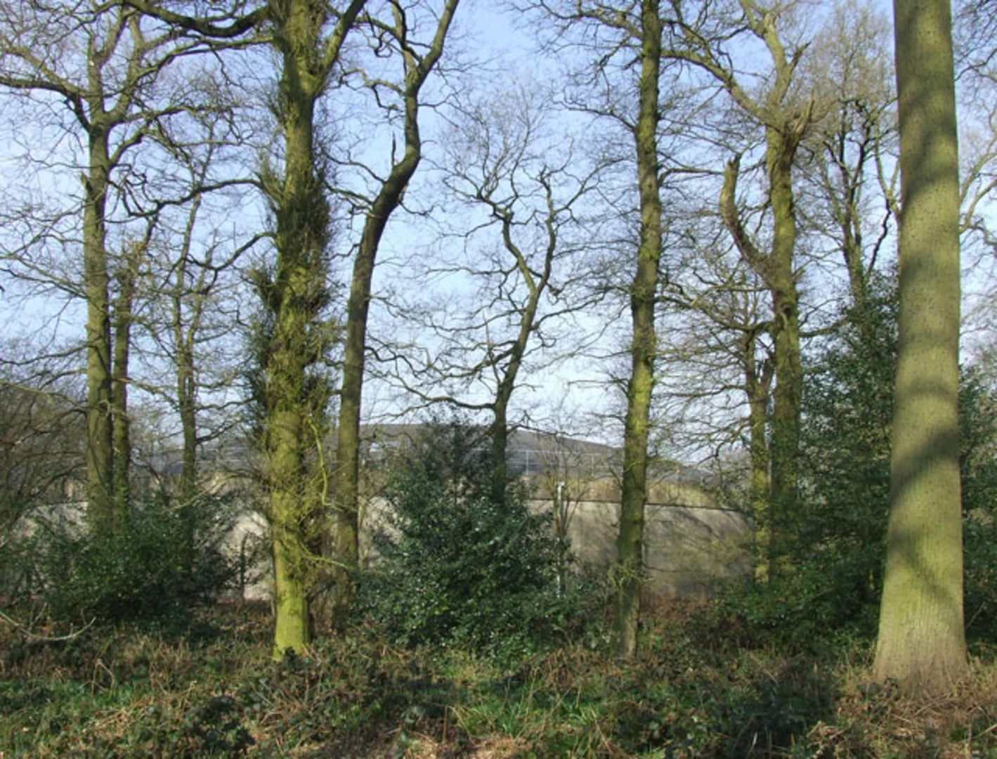
Woodlands and Wildlife: As you progress along the trail, you'll pass through several wooded areas. These woodlands are home to a variety of wildlife, including deer, foxes, and numerous bird species. Keep an eye out for the vibrant flora, especially in spring and summer when the wildflowers are in full bloom.
Open Fields and Farmlands: The trail also takes you through expansive open fields and farmlands. These areas provide a stark contrast to the shaded woodlands and offer panoramic views of the surrounding countryside. It's a great spot to take a break and enjoy a picnic.
Navigation and Trail Conditions
The Wrottesley Loop is well-maintained, but it's always wise to be prepared for varying trail conditions. After heavy rain, some sections can become muddy, so waterproof footwear is recommended. The trail is mostly flat, with no significant elevation gain, making it suitable for hikers of all fitness levels.
Using HiiKER can help you navigate the trail more effectively, especially at junctions where multiple paths converge. The app provides detailed maps and real-time updates, ensuring you stay on the correct route.
Getting There
To reach the trailhead, you can drive to the Wrottesley Park Road car park, which is the most convenient option for those with a vehicle. If you're relying on public transport, the nearest bus stop is also on Wrottesley Park Road. From there, it's a short walk to the start of the trail.
Historical Significance
The region around the Wrottesley Loop is steeped in history. The Wrottesley Hall estate has been a significant landmark for centuries, and the surrounding area has seen various historical events unfold. Walking this trail offers a unique opportunity to connect with the past while enjoying the natural beauty of the present.
Whether you're a seasoned hiker or a casual walker, the Wrottesley Loop provides a rewarding experience with its blend of historical landmarks, diverse landscapes, and abundant wildlife.
What to expect?
Activity types
Comments and Reviews
User comments, reviews and discussions about the Wrottesley Loop, England.
4.0
average rating out of 5
1 rating(s)

