Download
Preview
Add to list
More
5.9 km
~1 hrs 17 min
74 m
Loop
“Explore ancient woodlands and rich wildlife on the accessible 6 km Lower Woods Nature Reserve Loop.”
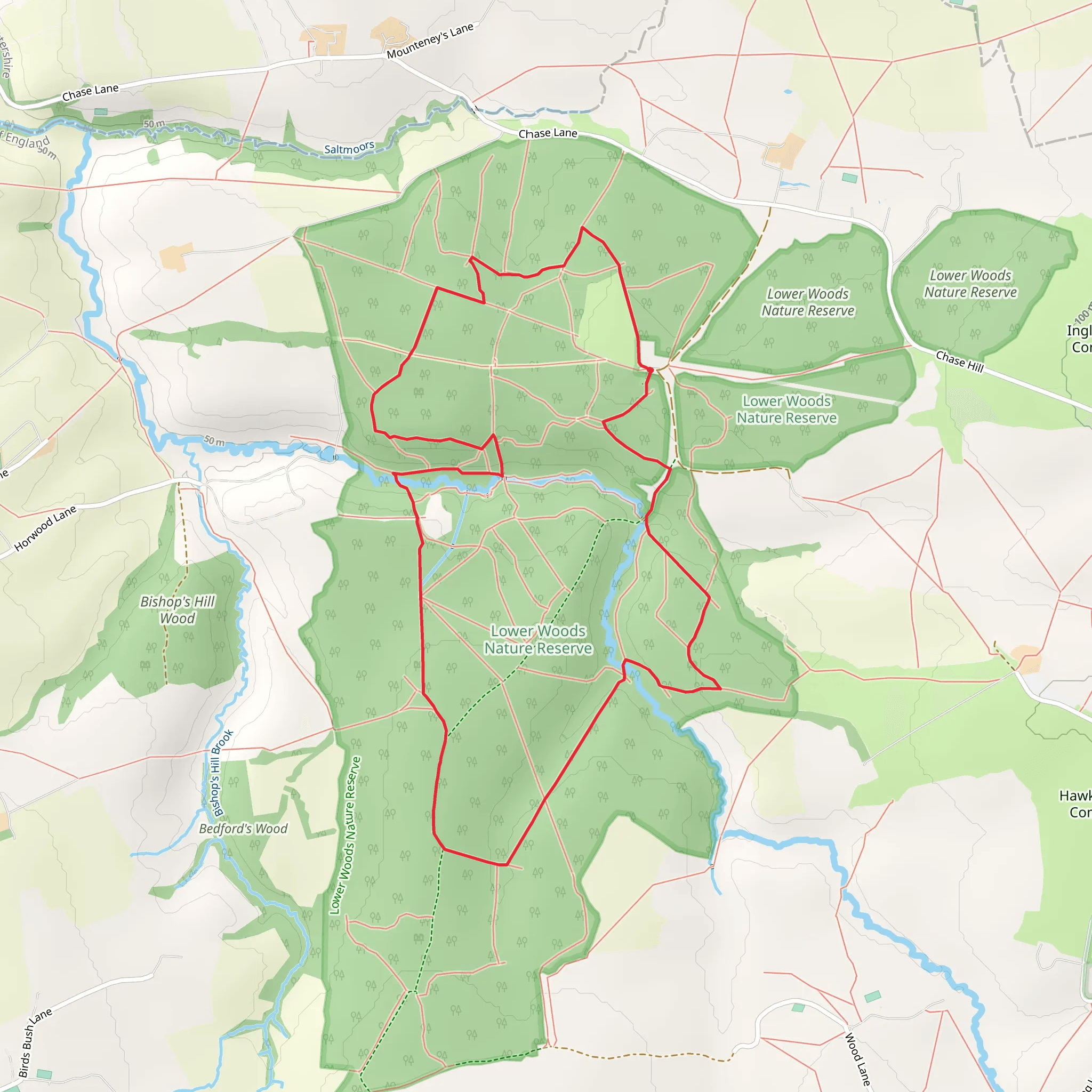
Starting near South Gloucestershire, England, the Lower Woods Nature Reserve Loop is a delightful 6 km (approximately 3.7 miles) trail with no significant elevation gain, making it accessible for a wide range of hikers. The trailhead is conveniently located near the Lower Woods Nature Reserve, a well-known landmark in the area.
Getting There To reach the trailhead, you can drive or use public transport. If driving, set your GPS to Lower Woods Nature Reserve, South Gloucestershire. There is a small parking area available at the reserve. For those using public transport, the nearest major town is Yate. From Yate, you can take a local bus or taxi to the reserve.
Trail Overview The loop trail is rated as medium difficulty, primarily due to the varied terrain and occasional muddy patches, especially after rain. The path meanders through ancient woodlands, offering a serene and immersive nature experience.
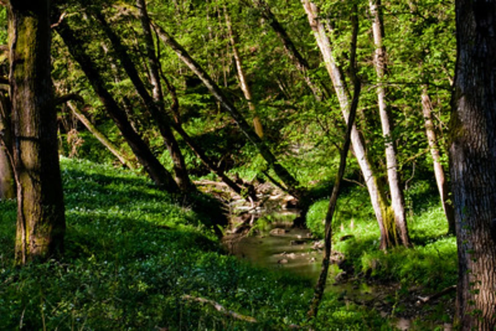
Key Landmarks and Points of Interest - **Ancient Woodlands**: The trail takes you through one of the largest ancient woodlands in the region. These woods are a mix of oak, ash, and hazel trees, some of which are centuries old. - **Wildlife**: Keep an eye out for a variety of wildlife, including deer, badgers, and numerous bird species. The reserve is particularly known for its butterfly population, with over 30 species recorded. - **Flora**: In spring and early summer, the woodland floor is carpeted with bluebells, wild garlic, and other wildflowers, creating a picturesque scene. - **Historical Significance**: The area has a rich history, with evidence of human activity dating back to the Iron Age. The woodlands were historically managed for timber and charcoal production, and remnants of old charcoal pits can still be seen along the trail.
Navigation The trail is well-marked, but it's always a good idea to have a reliable navigation tool. HiiKER is an excellent app for this purpose, providing detailed maps and real-time tracking to ensure you stay on course.
Trail Sections - **First Kilometer (0.6 miles)**: Starting from the trailhead, the path is relatively flat and easy, winding through dense woodland. This section is perfect for warming up and getting a feel for the terrain. - **Second Kilometer (0.6 miles)**: The trail begins to narrow and become more undulating. You'll cross a few small streams, which can be a bit tricky after heavy rain. - **Midpoint (3 km / 1.8 miles)**: At the halfway mark, you'll come across a small clearing with a bench, an ideal spot for a short break and a snack. - **Fourth Kilometer (0.6 miles)**: The path continues through mixed woodland, with occasional glimpses of open meadows. This section is particularly rich in birdlife. - **Final Stretch (2 km / 1.2 miles)**: The last part of the loop brings you back towards the trailhead, passing through some of the oldest parts of the woodland. Look out for ancient boundary markers and old stone walls.
Practical Tips - **Footwear**: Given the potential for muddy sections, waterproof hiking boots are recommended. - **Weather**: Check the weather forecast before heading out. The trail can become slippery in wet conditions. - **Supplies**: Bring enough water and snacks, as there are no facilities along the trail. - **Respect Nature**: Stick to the marked paths to protect the delicate ecosystem and avoid disturbing wildlife.
This trail offers a perfect blend of natural beauty, wildlife, and historical intrigue, making it a rewarding hike for those looking to explore the ancient woodlands of South Gloucestershire.
What to expect?
Activity types
Comments and Reviews
User comments, reviews and discussions about the Lower Woods Nature Reserve Loop, England.
4.71
average rating out of 5
7 rating(s)

