Download
Preview
Add to list
More
1.6 km
~21 min
17 m
Out and Back
“The Upper Litton Reservoir Walk offers a serene 2 km trail through lush greenery and historical landmarks.”
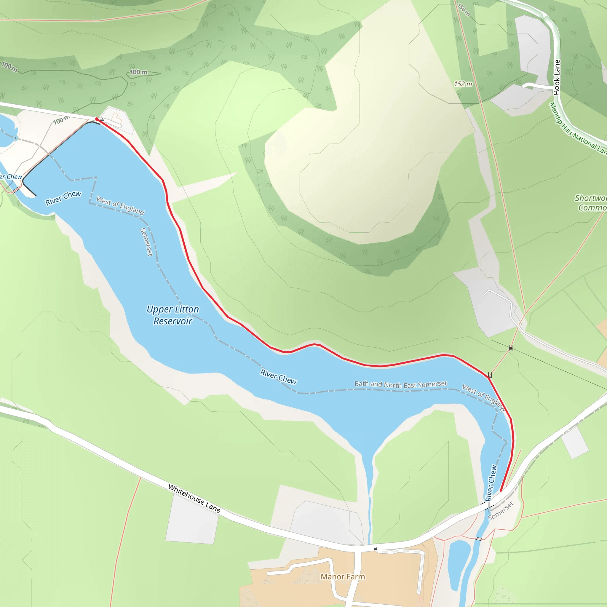
Starting near the picturesque village of Litton in Somerset, England, the Upper Litton Reservoir Walk is a delightful 2 km (1.24 miles) out-and-back trail with no significant elevation gain, making it accessible for most hikers. The trailhead is conveniently located near the Litton Reservoirs, a well-known landmark in the area.
Getting There To reach the trailhead, you can drive or use public transport. If driving, set your GPS to Litton, Somerset, and follow the signs to the Litton Reservoirs. There is a small parking area near the start of the trail. For those using public transport, the nearest major town is Bath. From Bath, you can take a bus to Litton, which is approximately 20 miles (32 km) southwest of the city. Check local bus schedules for the most accurate and up-to-date information.
Trail Overview The trail begins near the Litton Reservoirs, a pair of man-made lakes that supply water to the surrounding areas. As you start your hike, you'll be greeted by the serene waters of the Upper Litton Reservoir. The path is well-marked and relatively flat, making it suitable for families and casual hikers.
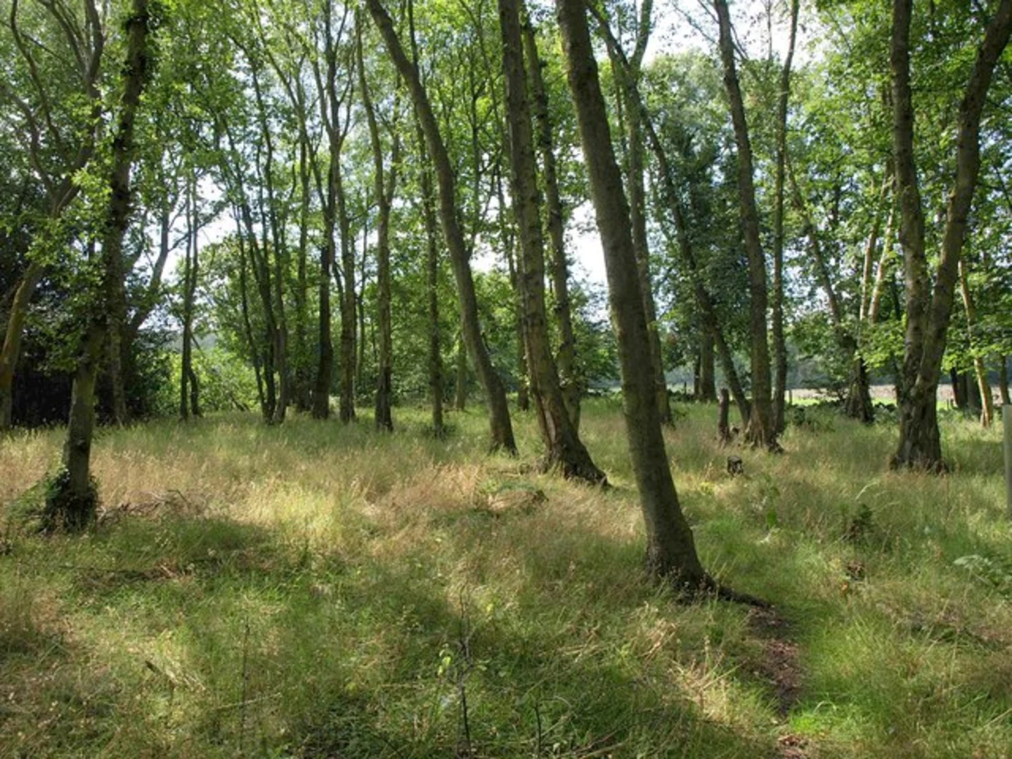
Points of Interest - **Litton Reservoirs**: The reservoirs themselves are a significant feature of this hike. Constructed in the early 20th century, they are surrounded by lush greenery and provide a habitat for various bird species. Keep an eye out for swans, ducks, and herons as you walk along the water's edge. - **Woodland Areas**: As you continue, you'll pass through sections of dense woodland. These areas are home to a variety of flora and fauna, including oak and beech trees, as well as squirrels and other small mammals. - **Historical Significance**: The village of Litton has a rich history dating back to the Domesday Book of 1086. While the trail itself is relatively modern, the surrounding area is steeped in history. You might even spot remnants of old stone walls and farm buildings that hint at the region's agricultural past.
Navigation and Safety The trail is straightforward and well-maintained, but it's always a good idea to have a reliable navigation tool. HiiKER is an excellent app for this purpose, providing detailed maps and real-time updates. Since the trail is relatively short and flat, it's rated as medium difficulty primarily due to uneven terrain in some sections.
Wildlife and Nature The Upper Litton Reservoir Walk offers a fantastic opportunity to observe local wildlife. In addition to the birds around the reservoirs, you might see deer grazing in the early morning or late afternoon. The area is also rich in plant life, with seasonal wildflowers adding a splash of color to the landscape.
Practical Tips - **Footwear**: Wear sturdy walking shoes or hiking boots, as some parts of the trail can be muddy, especially after rain. - **Weather**: Check the weather forecast before you go. The trail can be quite exposed in places, so bring a hat and sunscreen on sunny days, and a waterproof jacket if rain is expected. - **Facilities**: There are no facilities along the trail, so bring water and snacks. The nearest public restrooms are in the village of Litton.
This charming walk around the Upper Litton Reservoir offers a peaceful escape into nature, with plenty of opportunities to enjoy the local wildlife and historical landmarks.
What to expect?
Activity types
Comments and Reviews
User comments, reviews and discussions about the Upper Litton Reservoir Walk, England.
average rating out of 5
0 rating(s)

