Download
Preview
Add to list
More
19.3 km
~4 hrs 35 min
438 m
Loop
“Explore Somerset's scenic 19 km loop, blending ancient landmarks, diverse wildlife, and moderate hiking challenges.”
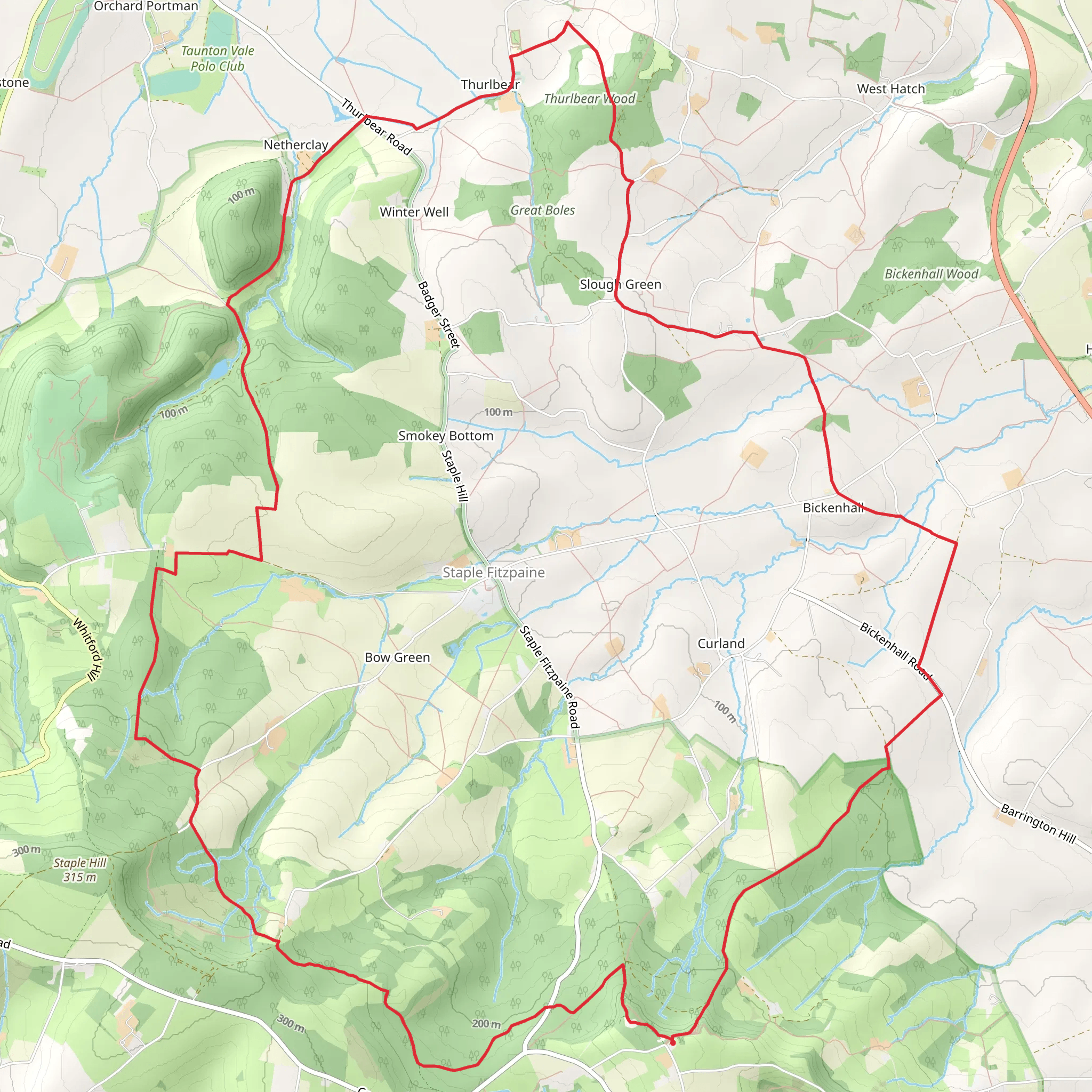
Starting near Somerset, England, the Castle Neroche, Bickenhall and Thurlbear Loop is a captivating 19 km (approximately 12 miles) trail with an elevation gain of around 400 meters (about 1,312 feet). This loop trail is rated medium in difficulty, making it suitable for moderately experienced hikers.
Getting There To reach the trailhead, you can drive or use public transport. If driving, set your GPS to Castle Neroche, which is located near the village of Staple Fitzpaine. For those using public transport, the nearest significant town is Taunton. From Taunton, you can take a bus towards Staple Fitzpaine and then walk a short distance to the trailhead.
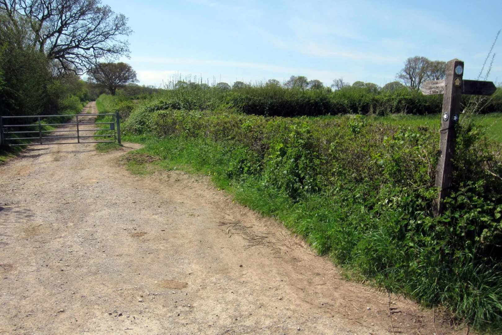
Trail Highlights and Landmarks The trail begins at Castle Neroche, an ancient hill fort with historical significance dating back to the Iron Age. The fort offers panoramic views of the surrounding countryside, making it a perfect spot to start your hike. As you proceed, the trail meanders through a mix of woodland and open fields, providing a diverse hiking experience.
#### Bickenhall Wood Around the 5 km (3.1 miles) mark, you'll enter Bickenhall Wood. This area is rich in wildlife, including deer, foxes, and a variety of bird species. The dense canopy provides ample shade, making it a pleasant section to hike through, especially during warmer months.
#### Thurlbear Wood and Nature Reserve At approximately 12 km (7.5 miles), you'll reach Thurlbear Wood and Nature Reserve. This ancient woodland is a haven for flora and fauna, featuring rare plant species and a variety of butterflies. The reserve is also home to Thurlbear Church, a historical landmark dating back to the 12th century. The church's Norman architecture is a fascinating sight and offers a glimpse into the region's rich history.
Elevation and Terrain The trail's elevation gain of 400 meters (1,312 feet) is spread out over the 19 km (12 miles), with several moderate ascents and descents. The terrain varies from well-trodden paths to more rugged sections, so sturdy hiking boots are recommended. The highest point of the trail is near Castle Neroche, offering stunning views that make the climb worthwhile.
Navigation and Safety Given the trail's moderate difficulty, it's advisable to use a reliable navigation tool like HiiKER to stay on track. The trail is well-marked, but having a digital map can be invaluable, especially in the more densely wooded areas.
Flora and Fauna Throughout the hike, you'll encounter a variety of ecosystems, from ancient woodlands to open meadows. Keep an eye out for bluebells in the spring and a range of fungi in the autumn. Wildlife enthusiasts will appreciate the diversity of animals, including badgers, rabbits, and numerous bird species.
Practical Information The loop trail brings you back to your starting point at Castle Neroche, making logistics straightforward. There are no significant facilities along the trail, so carry enough water and snacks for the entire hike. The trail can be muddy in sections, particularly after rain, so waterproof gear is advisable.
This trail offers a blend of natural beauty, historical landmarks, and moderate physical challenge, making it a rewarding experience for those looking to explore the Somerset countryside.
What to expect?
Activity types
Comments and Reviews
User comments, reviews and discussions about the Castle Neroche, Bickenhall and Thurlbear Loop, England.
average rating out of 5
0 rating(s)

