Download
Preview
Add to list
More
7.3 km
~2 hrs 3 min
360 m
Loop
“The Three Fingers Rock and Caer Caradoc Loop offers stunning views, historical intrigue, and a moderate challenge.”
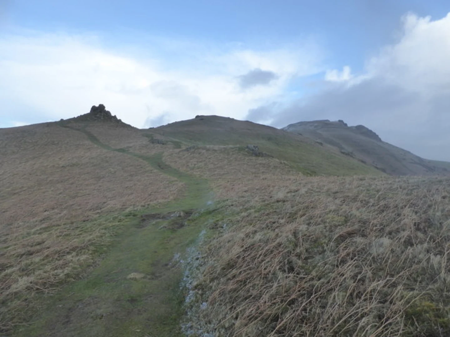
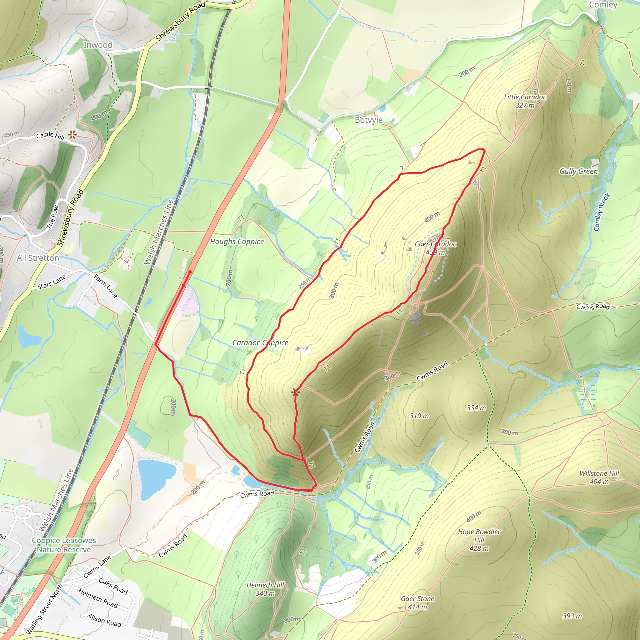
Starting your adventure near Shropshire, England, the Three Fingers Rock and Caer Caradoc Loop is a captivating 7 km (4.3 miles) loop trail with an elevation gain of approximately 300 meters (984 feet). This trail offers a blend of natural beauty, historical intrigue, and moderate physical challenge, making it a rewarding experience for hikers.### Getting There To reach the trailhead, you can drive or use public transport. If driving, head towards the village of Church Stretton, which is well-signposted from major roads. There is parking available near the trailhead. For those using public transport, Church Stretton has a railway station with regular services from Shrewsbury and Ludlow. From the station, it's a short walk to the start of the trail.### Trail Overview The loop begins with a gentle ascent through lush meadows and woodlands, offering a serene start to your hike. As you progress, the trail becomes steeper, leading you towards the first significant landmark, Three Fingers Rock. This unique rock formation is a great spot for a short break and some photos. The views from here are expansive, offering a panoramic vista of the surrounding Shropshire Hills.### Historical Significance Continuing on, the trail takes you towards Caer Caradoc, a hill steeped in history. The summit of Caer Caradoc is home to an ancient Iron Age hill fort, believed to have been occupied by the Celtic chieftain Caradoc (or Caractacus) during his resistance against the Roman invasion. The remnants of the fort's ramparts are still visible and provide a tangible connection to the area's rich past.### Flora and Fauna The trail is abundant with diverse flora and fauna. In spring and summer, the meadows are awash with wildflowers, including bluebells and buttercups. Birdwatchers will be delighted by the variety of species, such as skylarks and red kites, that can be spotted along the way. Keep an eye out for small mammals like rabbits and, if you're lucky, you might even spot a deer.### Navigation and Safety The trail is well-marked, but it's always wise to carry a reliable navigation tool. HiiKER is an excellent app for this purpose, providing detailed maps and real-time tracking to ensure you stay on course. The terrain can be uneven and rocky in places, so sturdy hiking boots are recommended. Weather conditions can change rapidly, so pack layers and waterproofs.### Final Stretch As you descend from Caer Caradoc, the trail loops back towards the starting point, offering a more relaxed walk through rolling hills and pastures. This section is less strenuous, allowing you to fully appreciate the tranquil countryside and perhaps reflect on the historical significance of the landscape you've just traversed.This loop trail is a perfect blend of natural beauty, moderate physical challenge, and historical intrigue, making it a must-do for any hiking enthusiast visiting the Shropshire area.
What to expect?
Activity types
Comments and Reviews
User comments, reviews and discussions about the Three Fingers Rock and Caer Caradoc Loop, England.
4.57
average rating out of 5
7 rating(s)

