Download
Preview
Add to list
More
9.1 km
~2 hrs 9 min
204 m
Loop
“Explore Shropshire’s scenic landscapes and history on the medium-difficulty, 9 km High Rock Forest Loop trail.”
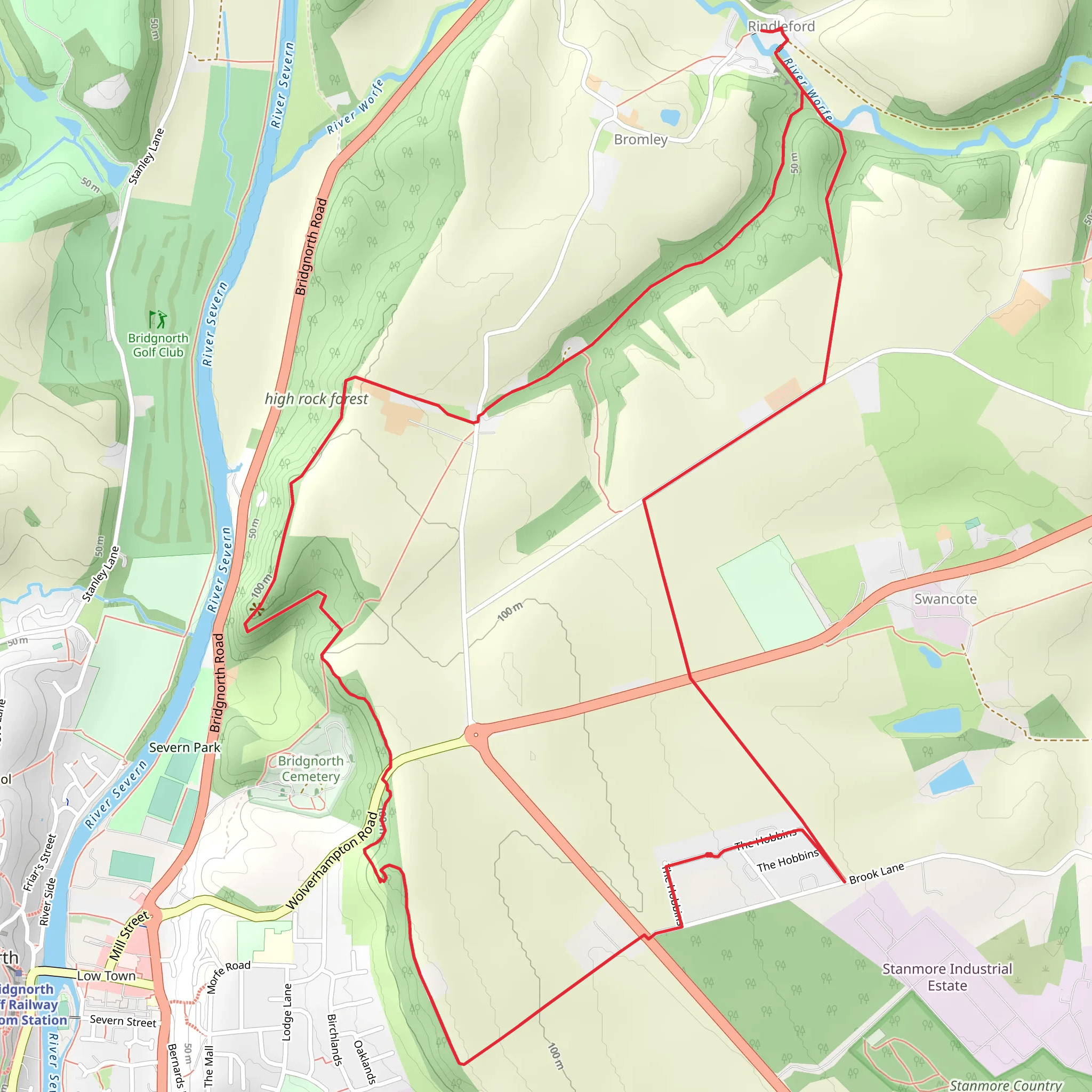
Starting near the picturesque town of Shropshire, England, the High Rock Forest Loop offers a delightful 9 km (approximately 5.6 miles) journey through diverse landscapes. With an elevation gain of around 200 meters (656 feet), this loop trail is rated as medium difficulty, making it suitable for moderately experienced hikers.
Getting There To reach the trailhead, you can drive or use public transport. If driving, set your GPS to the nearest known address: Church Stretton, Shropshire, SY6 6DQ. There is a small parking area available near the trailhead. For those using public transport, take a train to Church Stretton Station, which is well-connected to major cities like Birmingham and Manchester. From the station, it's a short walk to the trailhead.
Trail Overview The High Rock Forest Loop begins with a gentle ascent through a mixed woodland area. The initial 2 km (1.2 miles) of the trail are relatively easy, with a gradual elevation gain of about 50 meters (164 feet). This section is perfect for warming up your legs and getting accustomed to the terrain.
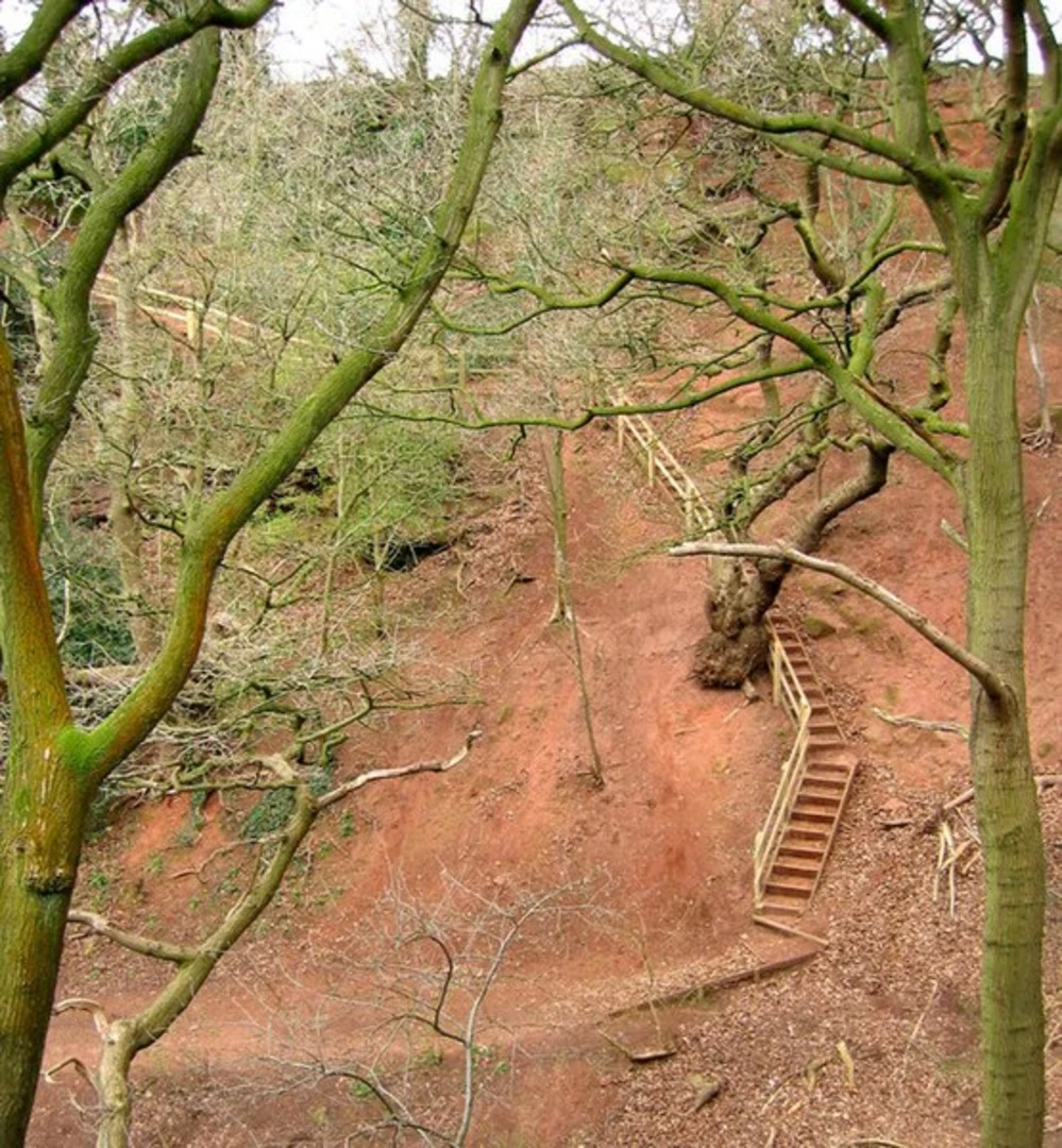
Key Landmarks and Nature As you progress, you'll encounter the first significant landmark: the ancient oak grove at approximately 3 km (1.9 miles) into the hike. These majestic trees are believed to be over 300 years old and provide a serene canopy, making it an ideal spot for a short break.
Continuing on, the trail begins to climb more steeply, gaining another 100 meters (328 feet) over the next 2 km (1.2 miles). This section offers stunning views of the surrounding Shropshire Hills, a designated Area of Outstanding Natural Beauty. Keep an eye out for local wildlife, including red kites and deer, which are commonly spotted in this area.
Historical Significance Around the 5 km (3.1 miles) mark, you'll come across the remnants of an old Roman road. This historical path once connected the Roman settlements in the region and is a fascinating glimpse into the area's rich history. The trail here is well-marked, but it's advisable to use the HiiKER app for precise navigation.
The High Rock The highlight of the trail is undoubtedly the High Rock viewpoint, located approximately 6 km (3.7 miles) into the loop. At an elevation of about 400 meters (1,312 feet), this vantage point offers panoramic views of the Shropshire countryside. It's a perfect spot for photos and a well-deserved rest.
Descent and Return The final 3 km (1.9 miles) of the trail involve a gradual descent back to the trailhead. This section is less strenuous, allowing you to enjoy the lush forest scenery and perhaps spot some more wildlife. The trail here is well-maintained, but be cautious of occasional muddy patches, especially after rain.
Preparation Tips Given the medium difficulty rating, it's essential to wear sturdy hiking boots and bring sufficient water and snacks. Weather in Shropshire can be unpredictable, so pack a waterproof jacket and check the forecast before setting out. The trail is well-marked, but having the HiiKER app on your phone will ensure you stay on track.
The High Rock Forest Loop is a rewarding hike that combines natural beauty, historical intrigue, and moderate physical challenge, making it a must-visit for any hiking enthusiast exploring the Shropshire region.
What to expect?
Activity types
Comments and Reviews
User comments, reviews and discussions about the High Rock Forest Loop, England.
5.0
average rating out of 5
3 rating(s)

