Download
Preview
Add to list
More
7.0 km
~2 hrs 0 min
375 m
Loop
“The Haddon Hill and Calf Ridge Loop offers a 7 km scenic hike with panoramic views and historical landmarks.”
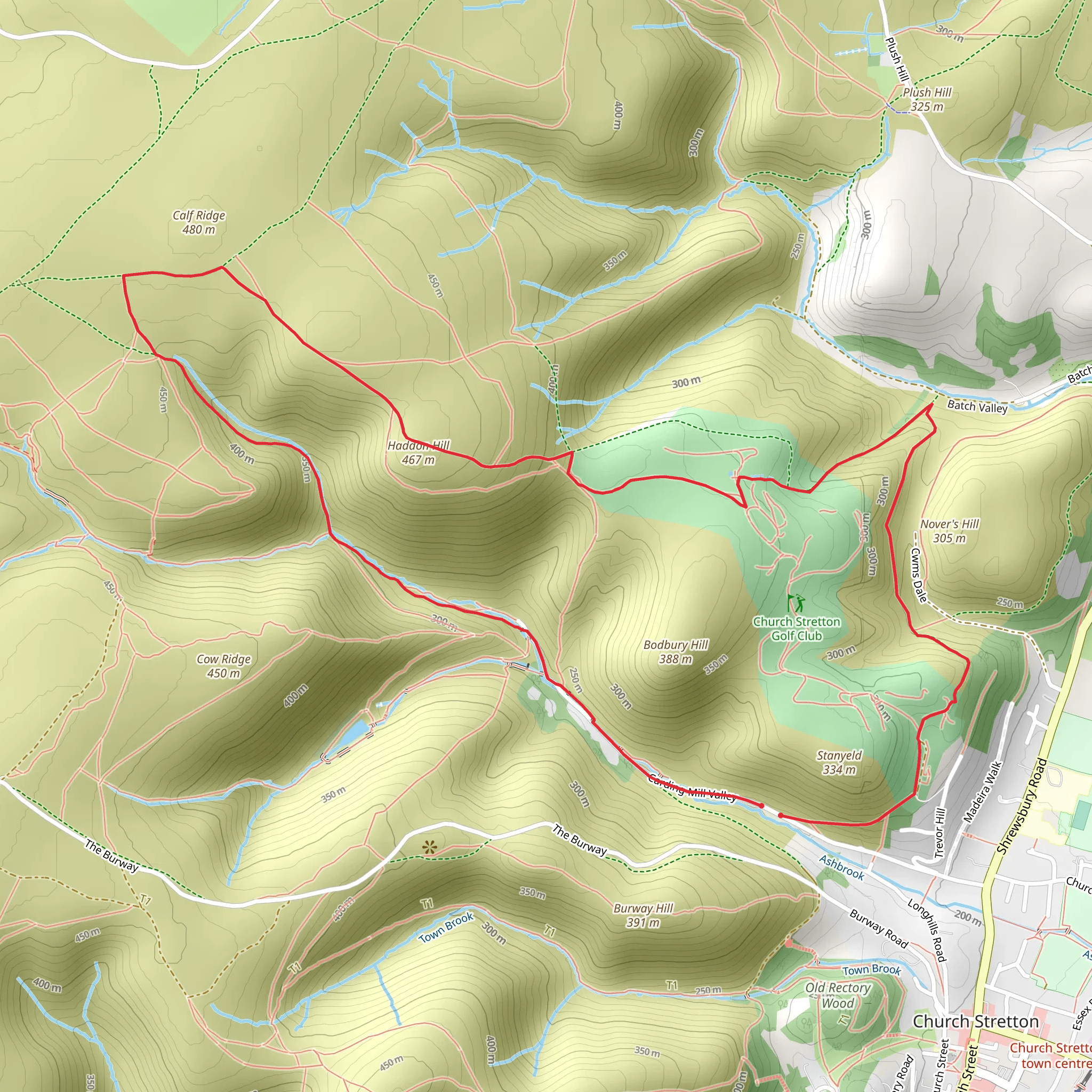
Starting near Shropshire, England, the Haddon Hill and Calf Ridge Loop is a captivating 7 km (approximately 4.3 miles) trail with an elevation gain of around 300 meters (about 984 feet). This loop trail is rated as medium difficulty, making it suitable for moderately experienced hikers looking for a rewarding adventure.
Getting There To reach the trailhead, you can drive or use public transport. If driving, head towards the nearest significant landmark, the town of Church Stretton. From there, follow local signage to the trailhead. For those using public transport, Church Stretton is accessible by train from major cities like Birmingham and Shrewsbury. From the train station, local buses or taxis can take you to the starting point of the hike.
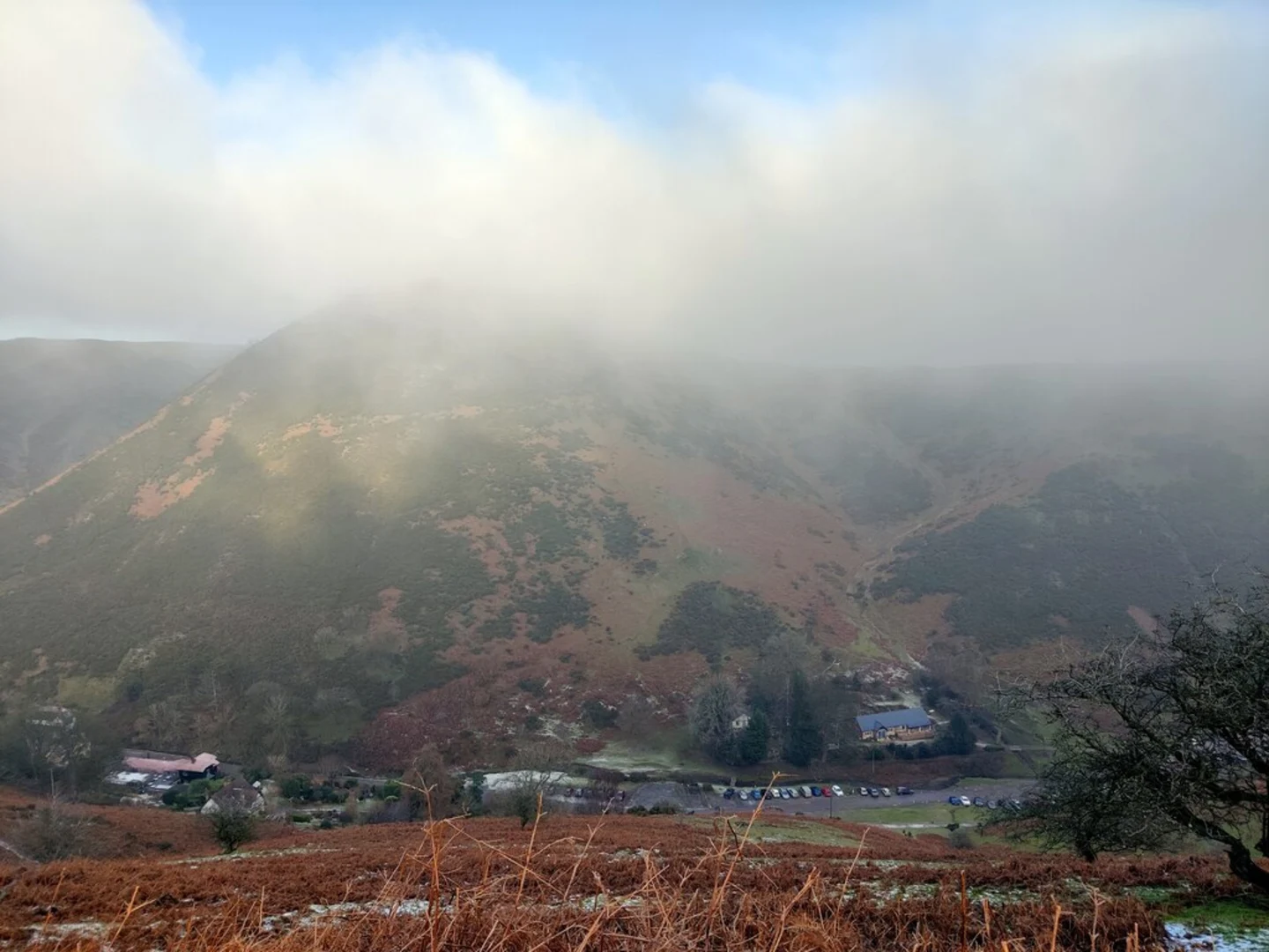
Trail Overview The trail begins with a gentle ascent through lush woodlands, offering a serene start to your journey. As you progress, the path becomes steeper, leading you up Haddon Hill. This initial climb covers approximately 2 km (1.2 miles) and gains about 150 meters (492 feet) in elevation. The effort is well worth it, as the summit provides panoramic views of the Shropshire Hills, an Area of Outstanding Natural Beauty.
Key Landmarks and Nature At the top of Haddon Hill, take a moment to appreciate the expansive views. On clear days, you can see as far as the Welsh borders. The area is rich in flora and fauna, with seasonal wildflowers and a variety of bird species, including skylarks and red kites.
Continuing along the ridge, the trail meanders through open moorland, offering a different but equally stunning landscape. This section is relatively flat, allowing you to catch your breath and enjoy the surroundings. After about 3 km (1.9 miles), you'll reach Calf Ridge, another highlight of the hike. The ridge provides a unique vantage point to observe the rolling hills and patchwork fields below.
Historical Significance The Shropshire Hills are steeped in history, and this trail is no exception. As you hike, you'll pass remnants of ancient settlements and old stone walls, hinting at the area's long history of human habitation. The region was once a hotspot for medieval sheep farming, and you might even spot some old sheep pens along the way.
Final Descent and Return The final section of the loop takes you downhill through a mix of heathland and forest. This descent covers the remaining 2 km (1.2 miles) and drops about 150 meters (492 feet) in elevation. The path can be rocky and uneven, so watch your footing. As you near the end of the trail, you'll re-enter the woodlands, providing a peaceful conclusion to your hike.
Navigation and Safety For navigation, it's highly recommended to use the HiiKER app, which provides detailed maps and real-time GPS tracking to ensure you stay on course. Always check the weather forecast before setting out, as conditions can change rapidly, especially at higher elevations. Carry sufficient water, snacks, and a basic first-aid kit.
This trail offers a perfect blend of natural beauty, historical intrigue, and physical challenge, making it a must-visit for any hiking enthusiast exploring the Shropshire region.
What to expect?
Activity types
Comments and Reviews
User comments, reviews and discussions about the Haddon Hill and Calf Ridge Loop, England.
4.0
average rating out of 5
4 rating(s)

