Download
Preview
Add to list
More
8.0 km
~1 hrs 59 min
242 m
Loop
“Experience a scenic 8 km loop trail in Cleobury Mortimer, blending natural beauty and historical intrigue.”
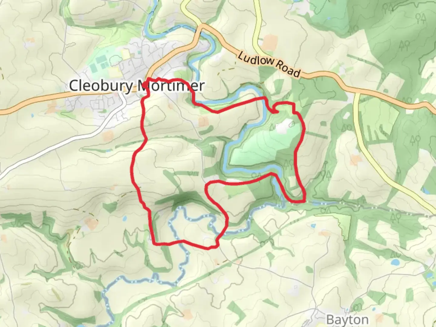
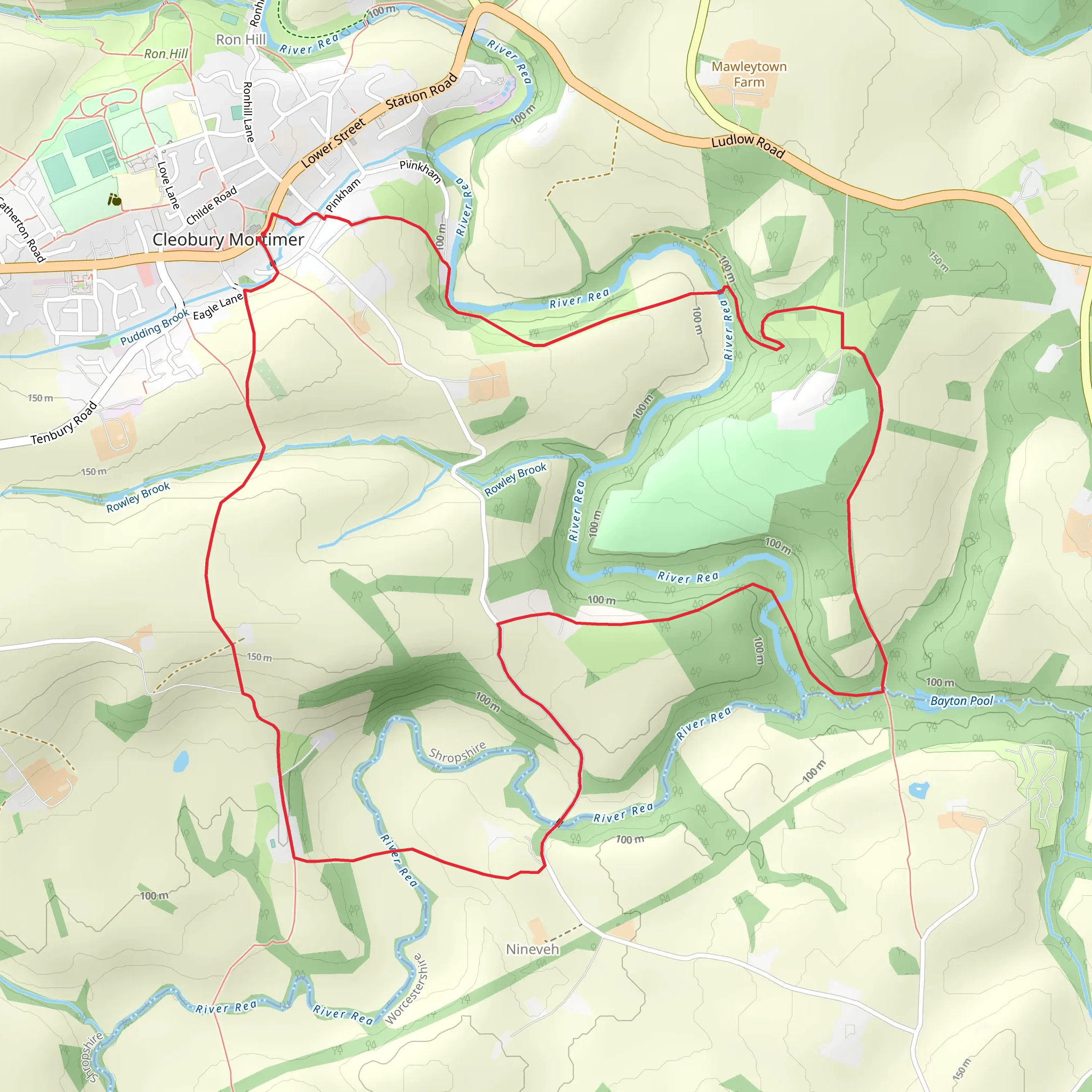
Starting near the charming town of Cleobury Mortimer in Shropshire, England, this 8 km (approximately 5 miles) loop trail offers a delightful mix of natural beauty and historical intrigue. With an elevation gain of around 200 meters (656 feet), the trail is rated as medium difficulty, making it accessible for most hikers with a moderate level of fitness.### Getting There To reach the trailhead, you can drive or use public transport. If driving, head towards Cleobury Mortimer, where you can find parking near the town center. For those using public transport, the nearest major railway station is Kidderminster. From Kidderminster, you can take a bus to Cleobury Mortimer, which is well-connected by local bus services.### Trail Navigation For navigation, it is highly recommended to use the HiiKER app, which provides detailed maps and real-time updates to ensure you stay on track.### The Hike The trail begins near the historic St. Mary’s Church in Cleobury Mortimer, a significant landmark dating back to the 12th century. As you start your hike, you’ll pass through picturesque countryside, featuring rolling hills and lush meadows. The initial section is relatively flat, allowing you to ease into the hike.### Points of Interest - St. Mary’s Church: This ancient church is a must-see, with its unique twisted spire and rich history. - Cleobury Mortimer Golf Club: About 2 km (1.2 miles) into the hike, you’ll pass near the golf club, offering a glimpse of well-manicured greens against the backdrop of the Shropshire hills. - Wyre Forest: Approximately 4 km (2.5 miles) into the hike, you’ll enter the fringes of Wyre Forest, one of the largest ancient woodlands in England. Here, you can spot a variety of wildlife, including deer, foxes, and numerous bird species.### Elevation and Terrain The trail features a gradual ascent as you approach the halfway point, gaining around 100 meters (328 feet) over the next 2 km (1.2 miles). The terrain can be uneven, with some rocky sections, so sturdy hiking boots are recommended. As you reach the highest point of the trail, you’ll be rewarded with panoramic views of the surrounding countryside.### Historical Significance Cleobury Mortimer itself is steeped in history, with roots going back to the Norman Conquest. The town was once a bustling market center, and remnants of its medieval past can still be seen in the architecture and layout of the streets.### Wildlife and Flora The trail offers a rich tapestry of flora and fauna. In the spring and summer months, the meadows are awash with wildflowers, attracting butterflies and bees. The wooded sections are home to ancient oak and beech trees, providing a habitat for a variety of bird species, including woodpeckers and owls.### Final Stretch As you descend back towards Cleobury Mortimer, the trail becomes easier, with a gentle downhill slope leading you back to the town. The final 2 km (1.2 miles) are a pleasant walk through open fields and along quiet country lanes.### Practical Tips - Footwear: Sturdy hiking boots are recommended due to uneven terrain. - Weather: Check the weather forecast before you go, as the trail can become muddy in wet conditions. - Supplies: Bring sufficient water and snacks, as there are no facilities along the trail. - Navigation: Use the HiiKER app for accurate navigation and to stay updated on trail conditions.This loop trail offers a perfect blend of natural beauty, historical landmarks, and a moderate challenge, making it a rewarding experience for any hiker.
What to expect?
Activity types
Comments and Reviews
User comments, reviews and discussions about the Cleobury Mortimer Loop, England.
4.5
average rating out of 5
4 rating(s)
