Download
Preview
Add to list
More
34.8 km
~1 day 2 hrs
322 m
Out and Back
“Traverse scenic valleys, historic landmarks, and diverse wildlife on the moderately challenging Stocksbridge to Dunford Bridge Walk.”
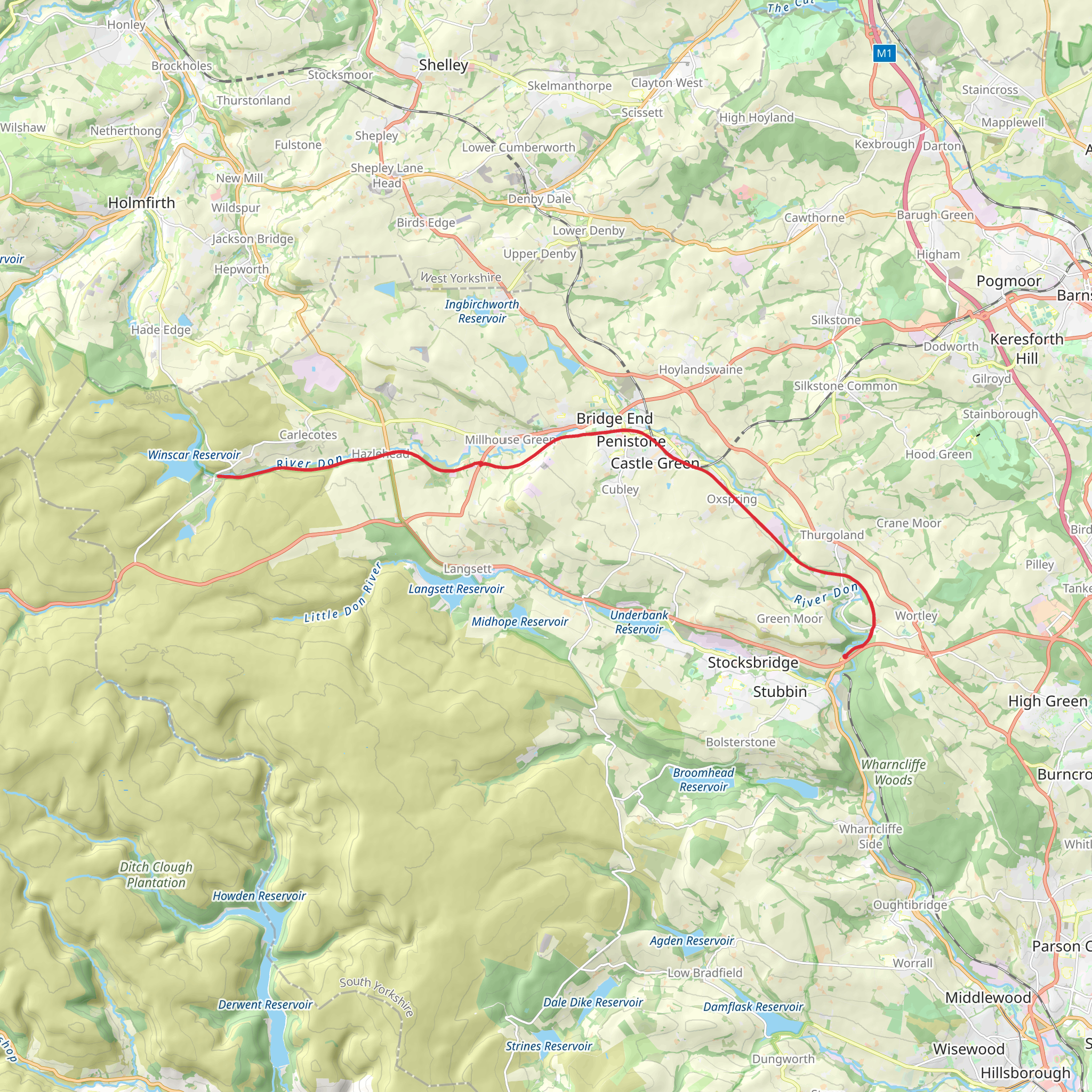
Starting near Sheffield, England, the Stocksbridge to Dunford Bridge Walk spans approximately 35 km (around 22 miles) with an elevation gain of about 300 meters (984 feet). This out-and-back trail is rated as medium difficulty, making it suitable for moderately experienced hikers.
Getting There To reach the trailhead, you can drive or use public transport. If driving, head towards Stocksbridge, which is easily accessible via the A616 road. For those using public transport, take a train to Sheffield and then a bus to Stocksbridge. The nearest significant landmark to the trailhead is the Stocksbridge Library, located at Manchester Road, Stocksbridge, Sheffield S36 1DH.
Trail Overview The trail begins in the charming town of Stocksbridge, nestled in the foothills of the Pennines. As you set off, you'll traverse a mix of woodland paths, open moorlands, and scenic valleys. The initial section of the trail is relatively flat, allowing you to ease into the hike.
Landmarks and Points of Interest - **Underbank Reservoir (Approx. 3 km / 1.9 miles in)**: Early in your hike, you'll pass by Underbank Reservoir. This is a great spot for a short break, offering picturesque views and opportunities for birdwatching. - **Langsett Reservoir (Approx. 8 km / 5 miles in)**: Continuing on, you'll reach Langsett Reservoir. The area around the reservoir is rich in history, with remnants of ancient settlements and old stone walls. The reservoir itself is a haven for wildlife, including various species of waterfowl. - **Midhope Stones (Approx. 12 km / 7.5 miles in)**: As you progress, you'll come across Midhope Stones, a historic farmstead that dates back to the 17th century. This area provides a glimpse into the agricultural history of the region.
Elevation and Terrain The trail features a gradual ascent, with the most significant elevation gain occurring as you approach the halfway point near Dunford Bridge. The terrain varies from well-trodden paths to more rugged sections, so sturdy hiking boots are recommended.
Wildlife and Nature The Stocksbridge to Dunford Bridge Walk offers a diverse range of flora and fauna. In the woodlands, you might spot deer, foxes, and a variety of bird species. The moorlands are home to heather, bilberry, and the occasional grouse. Keep an eye out for the distinctive call of the curlew as you traverse the open landscapes.
Historical Significance The region is steeped in history, with evidence of human activity dating back to the Bronze Age. The trail itself follows ancient packhorse routes that were once vital for transporting goods across the Pennines. Along the way, you'll encounter old stone bridges and remnants of historical buildings that tell the story of the area's industrial past.
Navigation For navigation, it's advisable to use the HiiKER app, which provides detailed maps and real-time updates. This will help you stay on track and ensure you don't miss any of the trail's highlights.
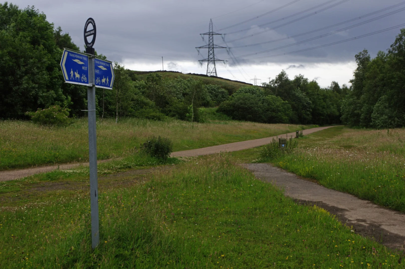
Final Stretch As you approach Dunford Bridge, the landscape opens up, offering expansive views of the surrounding countryside. Dunford Bridge itself is a small hamlet with a rich history linked to the Trans-Pennine railway. After reaching Dunford Bridge, you can either retrace your steps back to Stocksbridge or arrange for transportation back to your starting point.
This trail offers a blend of natural beauty, historical intrigue, and moderate physical challenge, making it a rewarding experience for those who undertake it.
What to expect?
Activity types
Comments and Reviews
User comments, reviews and discussions about the Stocksbridge to Dunford Bridge Walk, England.
4.83
average rating out of 5
6 rating(s)

