Download
Preview
Add to list
More
2.4 km
~40 min
112 m
Loop
“The Crompton Moor Loop offers a vibrant 2 km hike with panoramic views and rich historical significance.”
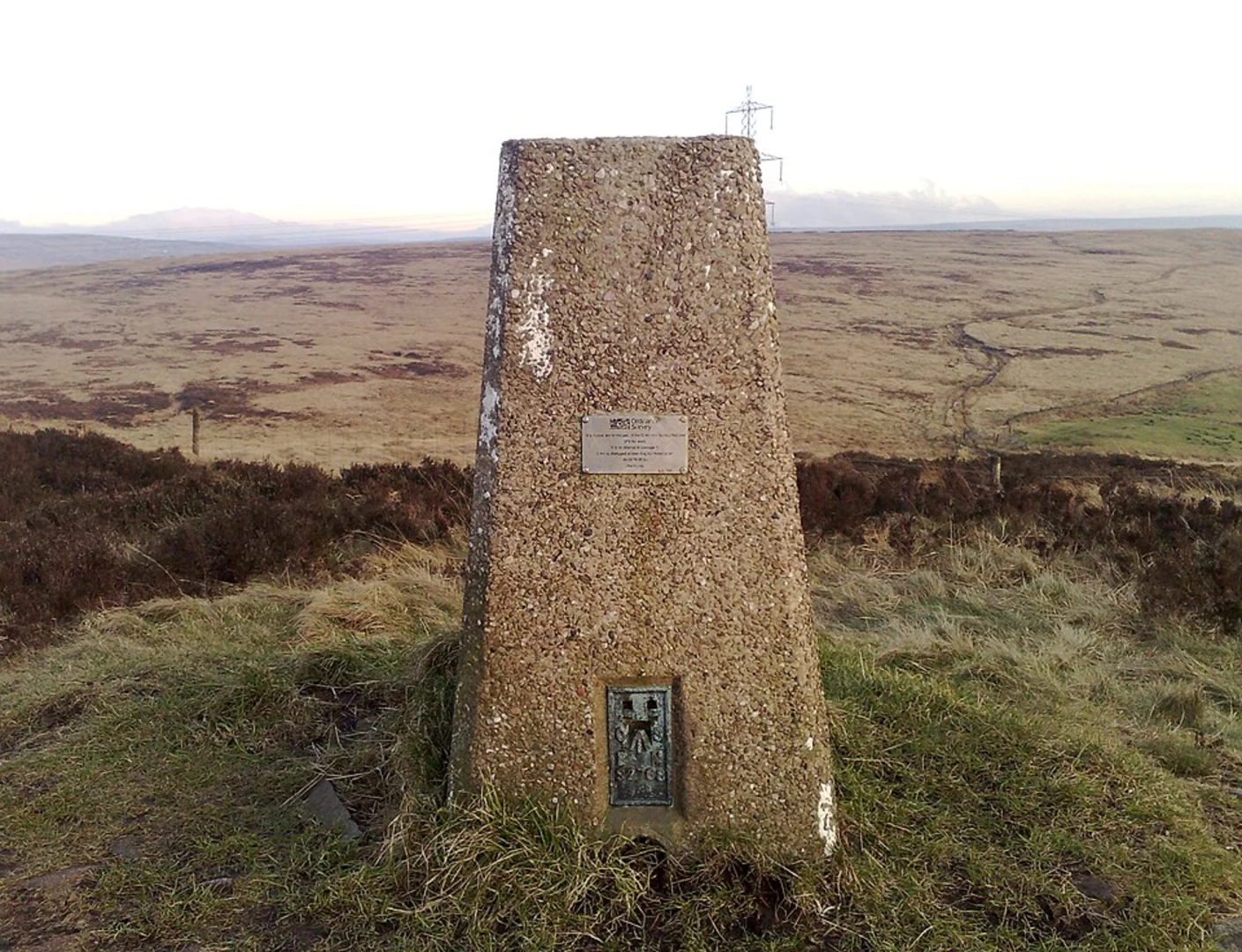
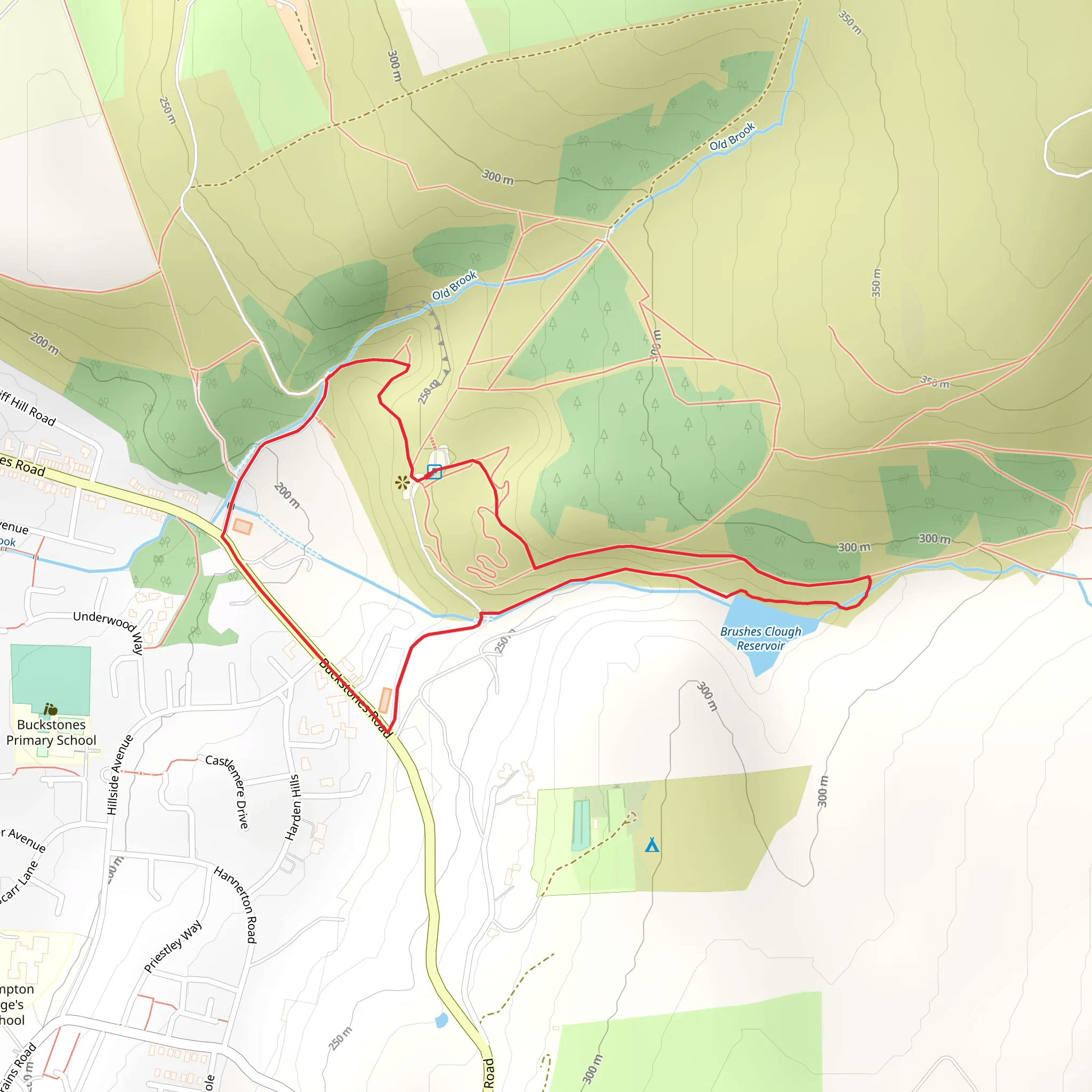
Starting near Shaw, England, the Crompton Moor Loop is a delightful 2 km (1.24 miles) trail with an elevation gain of around 100 meters (328 feet). This loop trail is rated as medium difficulty, making it suitable for hikers with a moderate level of fitness.### Getting There To reach the trailhead, you can drive or use public transport. If driving, set your GPS to Crompton Moor Car Park, located near Shaw. For those using public transport, take a train to Shaw and Crompton Station, which is approximately 1.5 km (0.93 miles) from the trailhead. From the station, you can either walk or take a local bus to the car park.### Trail Overview The trail begins at the Crompton Moor Car Park, where you will find ample parking space and clear signage marking the start of the loop. As you set off, the initial section of the trail is relatively flat, allowing you to ease into the hike. The path is well-trodden and easy to follow, but it's always a good idea to have a navigation tool like HiiKER for added assurance.### Flora and Fauna Crompton Moor is a haven for nature enthusiasts. The moorland is rich with heather, bilberry, and various grasses, creating a vibrant tapestry of colors, especially in late summer when the heather is in full bloom. Keep an eye out for local wildlife, including rabbits, foxes, and a variety of bird species such as skylarks and kestrels.### Significant Landmarks About 0.5 km (0.31 miles) into the hike, you will come across Pingot Quarry. This historical site offers a glimpse into the area's industrial past, where stone was once quarried for local building projects. The quarry now serves as a peaceful spot to take a break and enjoy the surrounding views.### Elevation Gain As you continue, the trail begins to ascend gradually. The elevation gain is steady but manageable, with the most significant climb occurring around the 1 km (0.62 miles) mark. Here, you will gain approximately 50 meters (164 feet) in elevation over a short distance, providing a good workout without being overly strenuous.### Scenic Views Upon reaching the highest point of the trail, you are rewarded with panoramic views of the surrounding countryside. On a clear day, you can see as far as the Pennines to the east and the cityscape of Manchester to the west. This is an excellent spot for photography or simply to take in the beauty of the landscape.### Descending Back The descent begins shortly after the highest point, with the trail looping back towards the starting point. The path here is slightly steeper, so take care with your footing, especially if the ground is wet. The final stretch of the trail is a gentle downhill walk, leading you back to the car park.### Historical Significance Crompton Moor has a rich history, with evidence of human activity dating back to the Bronze Age. The moor was also a site of significant industrial activity during the 19th century, with several quarries and coal mines operating in the area. Today, it stands as a testament to the region's industrial heritage while offering a peaceful retreat for hikers and nature lovers.### Final Tips Ensure you wear appropriate footwear, as parts of the trail can be muddy, especially after rain. Bring water and a snack, as there are no facilities along the route. Always check the weather forecast before setting out and dress accordingly.
What to expect?
Activity types
Comments and Reviews
User comments, reviews and discussions about the Crompton Moor Loop, England.
5.0
average rating out of 5
2 rating(s)

