Download
Preview
Add to list
More
13.0 km
~3 hrs 22 min
462 m
Loop
“The Naden Upper Reservoir and Knowl Hill Loop offers historic charm and scenic beauty for moderate hikers.”
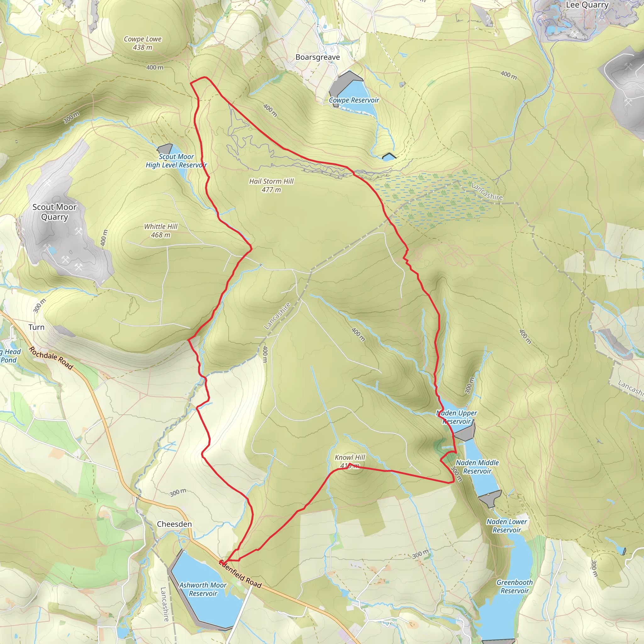
Starting near Rochdale, England, the Naden Upper Reservoir and Knowl Hill Loop is a captivating 13 km (8 miles) trail with an elevation gain of approximately 400 meters (1,312 feet). This loop trail is rated as medium difficulty, making it suitable for moderately experienced hikers.
Getting There To reach the trailhead, you can drive or use public transport. If driving, set your GPS to the nearest known address: Edenfield Road, Rochdale, OL12 7TT. There is a small parking area nearby. For those using public transport, take a train to Rochdale Station and then a bus towards Edenfield Road. The bus stop is a short walk from the trailhead.
Trail Overview The trail begins with a gentle ascent through a wooded area, offering a serene start to your hike. As you progress, you'll encounter the Naden Upper Reservoir, a picturesque spot perfect for a brief rest and some photography. The reservoir is home to various bird species, so keep your binoculars handy.
Key Landmarks and Sections
#### Naden Upper Reservoir Approximately 3 km (1.8 miles) into the hike, you'll reach the Naden Upper Reservoir. This is a great spot to take a break and enjoy the tranquil waters. The reservoir is surrounded by lush greenery and is a haven for local wildlife, including ducks and herons.
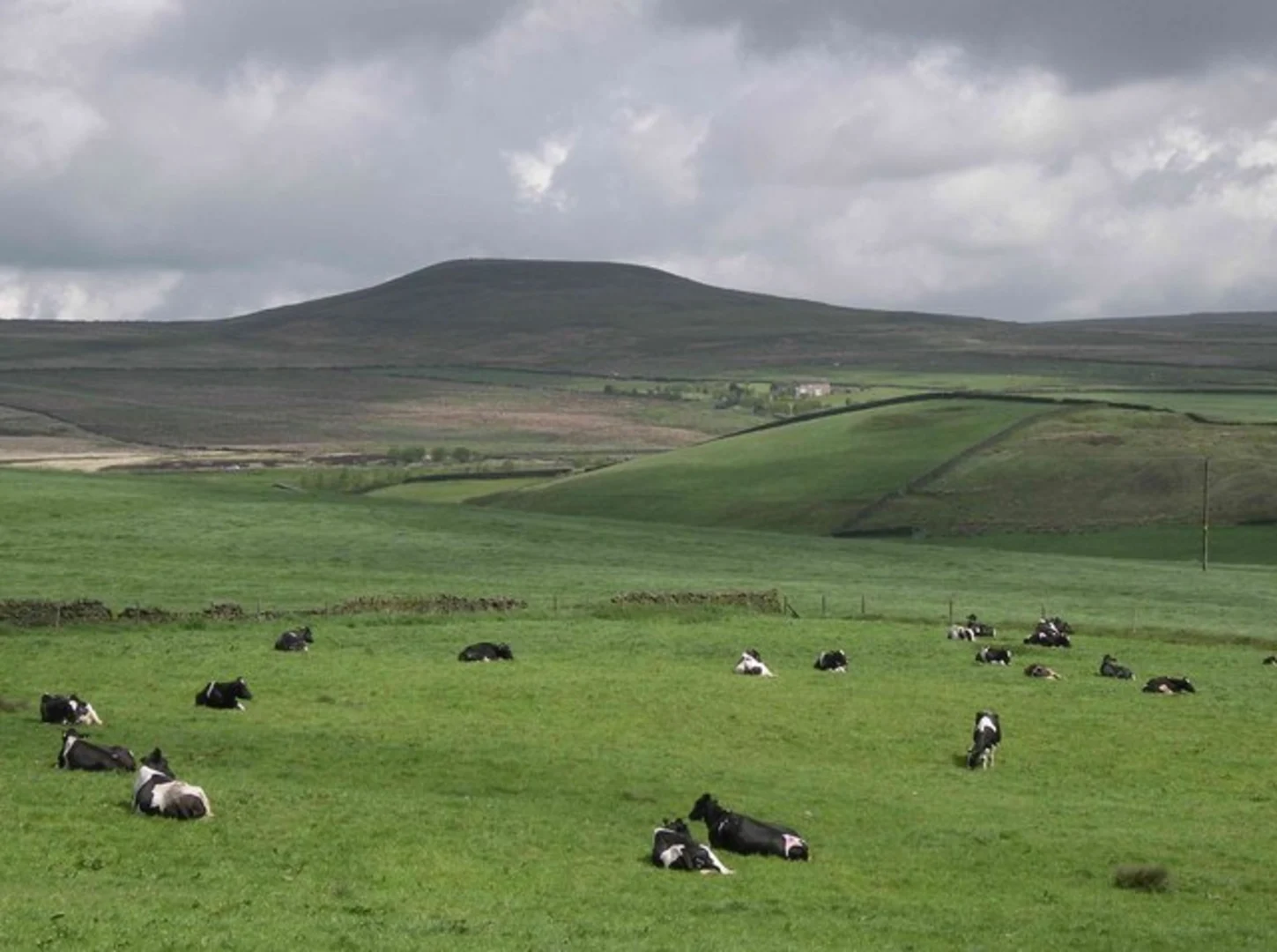
#### Ascent to Knowl Hill After leaving the reservoir, the trail begins to climb more steeply towards Knowl Hill. This section covers about 4 km (2.5 miles) and includes an elevation gain of around 200 meters (656 feet). The path can be rocky and uneven, so sturdy hiking boots are recommended. As you ascend, you'll be rewarded with panoramic views of the surrounding countryside.
#### Knowl Hill Summit Reaching the summit of Knowl Hill, at approximately 7 km (4.3 miles) into the hike, you'll find breathtaking views that stretch across the Pennines. This is an ideal spot for a longer rest and some lunch. The summit is marked by a trig point, and on clear days, you can see as far as Manchester.
Historical Significance The area around Rochdale has a rich history, with evidence of human activity dating back to the Bronze Age. The reservoirs were constructed in the 19th century to supply water to the growing industrial town of Rochdale. The trail itself passes through areas that were once bustling with textile mills, remnants of which can still be seen in the landscape.
Wildlife and Flora The trail is abundant with wildlife. In addition to the birdlife around the reservoir, you may spot rabbits, foxes, and even deer in the more secluded areas. The flora is equally diverse, with wildflowers blooming in the spring and summer months, adding a splash of color to the green landscape.
Navigation For navigation, it's highly recommended to use the HiiKER app, which provides detailed maps and real-time GPS tracking to ensure you stay on the right path. The trail is well-marked, but having a reliable navigation tool can enhance your hiking experience.
Final Stretch The descent from Knowl Hill is gradual, leading you back through open fields and wooded areas. This section is about 6 km (3.7 miles) and offers a gentle end to your hike. You'll eventually loop back to the starting point near Edenfield Road, completing the 13 km (8 miles) journey.
This trail offers a mix of natural beauty, historical intrigue, and moderate physical challenge, making it a rewarding experience for those looking to explore the scenic landscapes near Rochdale.
What to expect?
Activity types
Comments and Reviews
User comments, reviews and discussions about the Naden Upper Reservoir and Knowl Hill Loop, England.
5.0
average rating out of 5
2 rating(s)

