Download
Preview
Add to list
More
14.4 km
~3 hrs 43 min
509 m
Loop
“This 14 km loop trail near Pinchinthorpe combines scenic views, moderate challenges, and rich historical intrigue.”
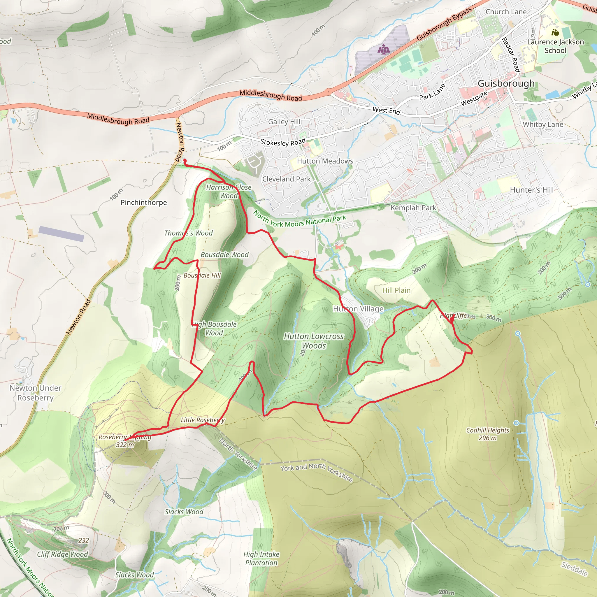
Starting near the village of Pinchinthorpe, this 14 km (approximately 8.7 miles) loop trail offers a moderately challenging hike with an elevation gain of around 500 meters (1,640 feet). The trailhead is conveniently located near Redcar and Cleveland, England, making it accessible for both locals and visitors.
Getting There To reach the trailhead, you can drive and park at the Pinchinthorpe Visitor Centre, which is well-signposted and offers ample parking. For those using public transport, the nearest train station is Great Ayton, approximately 3 miles (4.8 km) away. From there, you can take a local bus or taxi to the visitor centre.
Trail Overview The trail begins at the Pinchinthorpe Visitor Centre, where you can find useful information and facilities. The initial section of the hike takes you through the serene Guisborough Forest, a mixed woodland area rich in flora and fauna. Keep an eye out for deer, foxes, and a variety of bird species, including woodpeckers and owls.
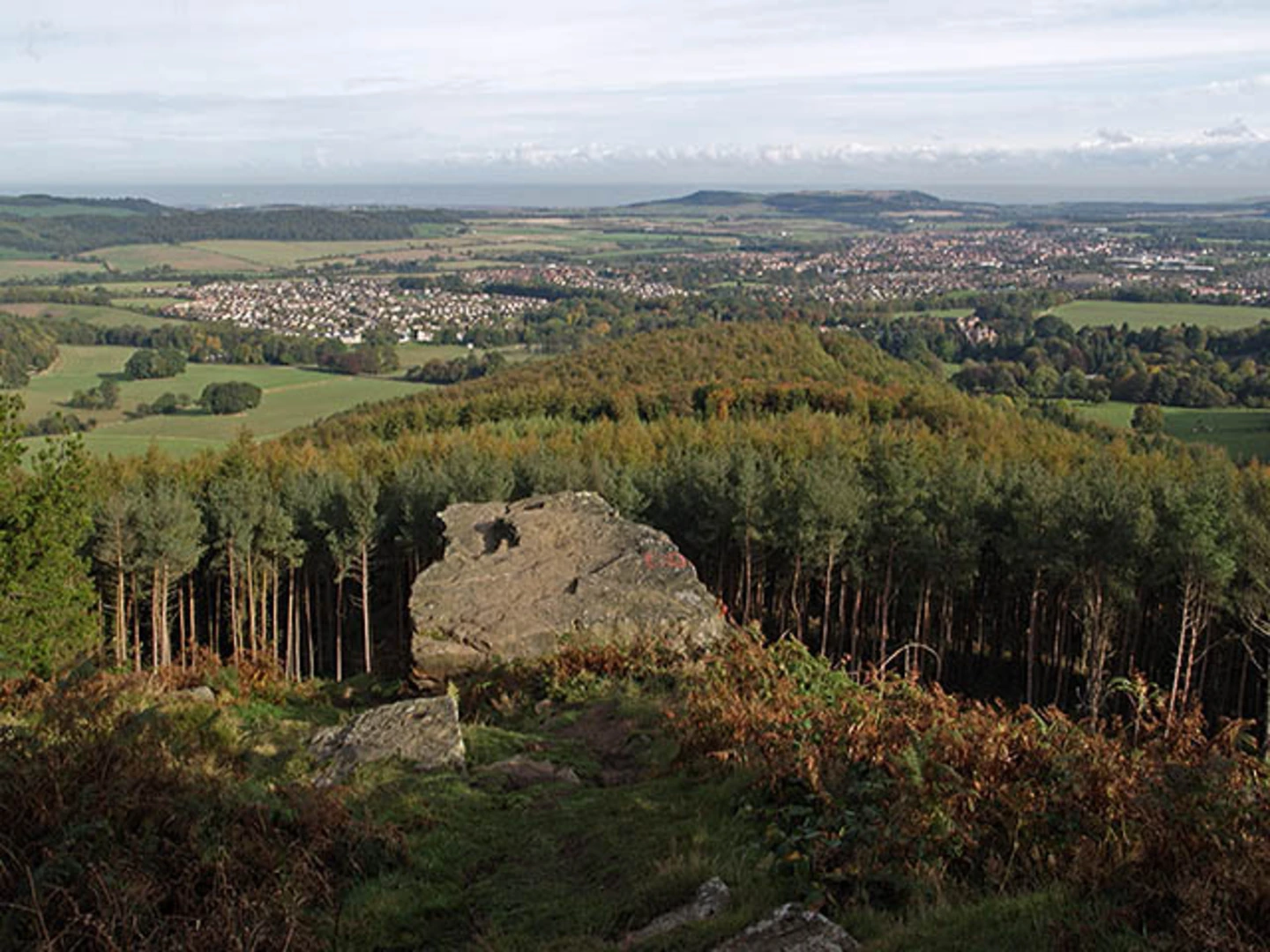
Roseberry Topping After about 4 km (2.5 miles), you will reach the base of Roseberry Topping, a distinctive hill with a unique half-cone shape. The climb to the summit is steep and rocky, gaining approximately 320 meters (1,050 feet) in elevation over a short distance. The effort is well worth it, as the summit offers panoramic views of the surrounding North York Moors and the Cleveland Plain. On a clear day, you can see as far as the Pennines and the North Sea.
Highcliffe Nab Descending from Roseberry Topping, the trail leads you towards Highcliffe Nab, another prominent feature in the landscape. This section is less steep but still offers a good workout, with an elevation gain of around 180 meters (590 feet). Highcliffe Nab provides another excellent vantage point, with views that complement those from Roseberry Topping.
Historical Significance The area around Roseberry Topping has a rich history. The hill itself was a site of ancient pagan worship and later became a beacon point during the Napoleonic Wars. The surrounding moorlands have been used for agriculture and mining over the centuries, and you may come across remnants of old mining operations along the trail.
Navigation and Safety The trail is well-marked, but it's always a good idea to have a reliable navigation tool. HiiKER is an excellent app for this purpose, providing detailed maps and real-time location tracking. Wear sturdy hiking boots, as the terrain can be uneven and slippery, especially after rain. Carry sufficient water and snacks, as there are limited facilities once you leave the visitor centre.
Flora and Fauna Throughout the hike, you'll encounter a variety of plant life, from ancient oak and beech trees in the forest to heather and gorse on the moorlands. In spring and summer, the area is particularly vibrant with wildflowers. Wildlife is abundant, so keep your camera ready for unexpected encounters.
Return to Pinchinthorpe The final leg of the loop brings you back through Guisborough Forest, offering a gentle descent and a chance to cool down. The entire loop takes around 4-6 hours to complete, depending on your pace and how long you spend at the viewpoints.
This trail offers a blend of natural beauty, physical challenge, and historical intrigue, making it a rewarding experience for any hiker.
What to expect?
Activity types
Comments and Reviews
User comments, reviews and discussions about the Roseberry Topping, Highcliffe Loop from Pinchinthorpe, England.
4.75
average rating out of 5
4 rating(s)

