Download
Preview
Add to list
More
9.2 km
~2 hrs 5 min
148 m
Point-to-Point
“Embark on a 9 km picturesque journey from Penistone to Dunford Bridge, blending history, nature, and moderate challenge.”
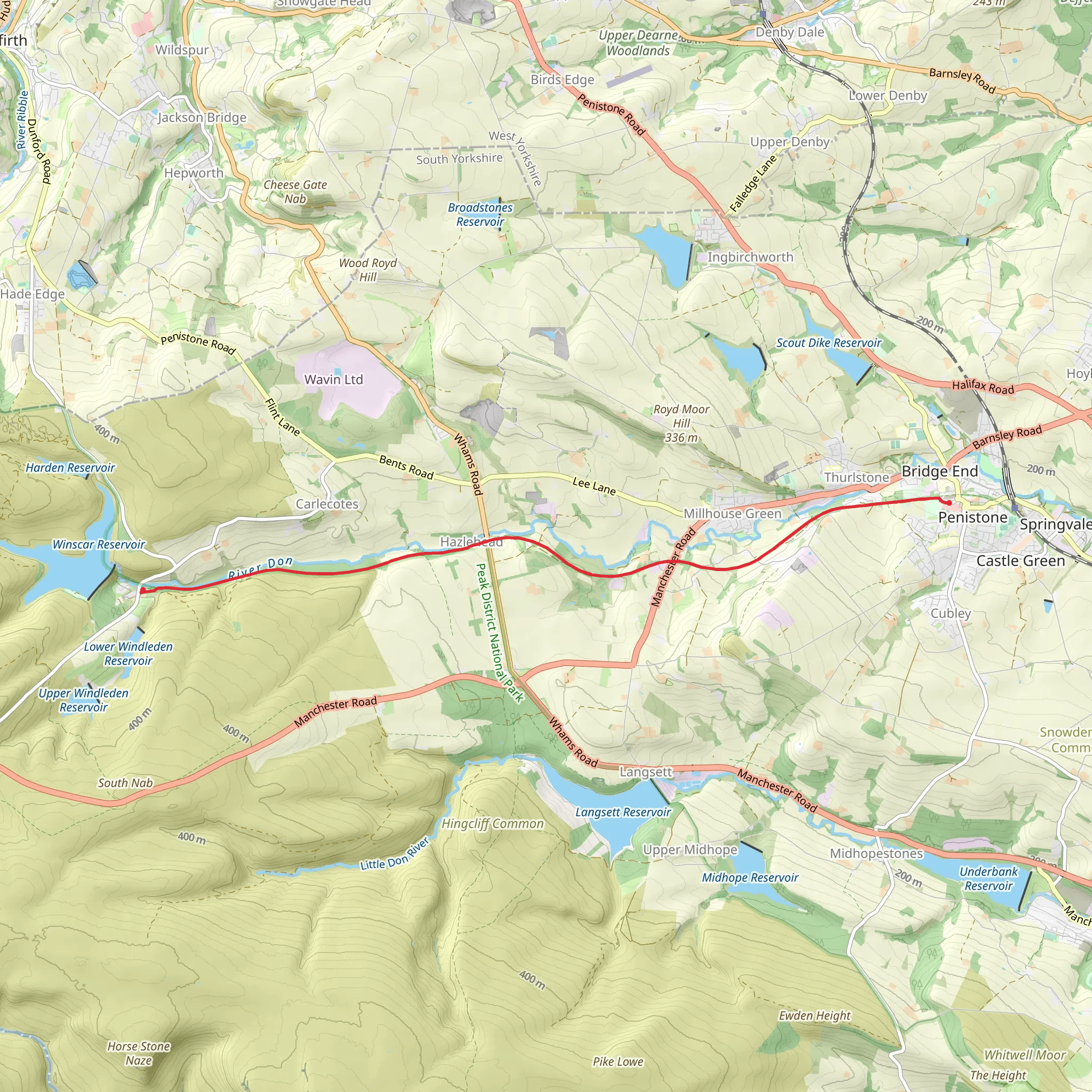
Starting near the charming town of Penistone, England, the Trans Pennine Trail from Penistone to Dunford Bridge offers a delightful 9 km (approximately 5.6 miles) journey through the picturesque South Yorkshire countryside. With an elevation gain of around 100 meters (328 feet), this point-to-point trail is rated as medium difficulty, making it suitable for moderately experienced hikers.
Getting There
To reach the trailhead near Penistone, you can either drive or use public transport. If driving, Penistone is accessible via the A628 and A629 roads. For those opting for public transport, Penistone railway station is well-connected, with regular services from Sheffield and Huddersfield. From the station, it's a short walk to the start of the trail.
Trail Overview
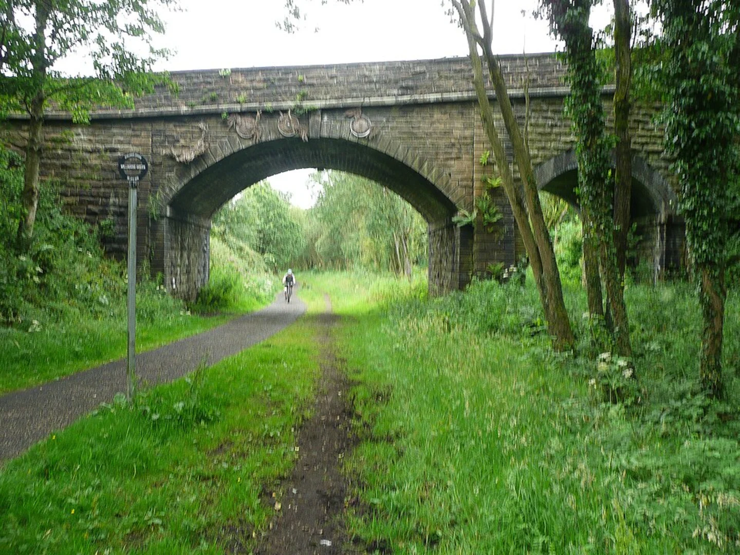
The trail begins near Penistone, a market town with a rich history dating back to the Domesday Book. As you set off, you'll find yourself on a well-maintained path that was once part of the Great Central Railway. This historical significance adds a unique charm to your hike, as you traverse old railway lines and bridges.
Key Landmarks and Nature
#### Penistone Viaduct Approximately 1.5 km (0.9 miles) into the hike, you'll encounter the Penistone Viaduct. This impressive structure, built in the 19th century, offers stunning views of the surrounding countryside. It's a great spot for a quick rest and some photography.
#### Thurlstone Continuing along the trail, you'll pass through the village of Thurlstone around the 3 km (1.9 miles) mark. This quaint village is known for its traditional stone cottages and offers a glimpse into rural English life. Keep an eye out for local wildlife, including various bird species and small mammals.
#### Scout Dike Reservoir At approximately 5 km (3.1 miles), you'll come across Scout Dike Reservoir. This serene body of water is a haven for birdwatchers, with species such as herons and kingfishers often spotted here. The reservoir also provides a peaceful backdrop for a mid-hike break.
Final Stretch to Dunford Bridge
As you approach the final 2 km (1.2 miles) of the trail, the path begins a gentle ascent towards Dunford Bridge. This section offers panoramic views of the surrounding moorlands, especially beautiful during sunrise or sunset. The elevation gain here is gradual, making it a manageable climb for most hikers.
Navigation and Safety
For navigation, it's highly recommended to use the HiiKER app, which provides detailed maps and real-time updates. The trail is well-marked, but having a reliable navigation tool ensures you stay on track and can enjoy the hike without any worries.
Historical Significance
The entire route is steeped in history, from the old railway lines to the ancient villages you pass through. The Penistone Viaduct and the remnants of the Great Central Railway serve as reminders of the region's industrial past, while the natural beauty of the area highlights its enduring appeal.
This hike offers a perfect blend of historical intrigue, natural beauty, and moderate physical challenge, making it a rewarding experience for those looking to explore the South Yorkshire countryside.
What to expect?
Activity types
Comments and Reviews
User comments, reviews and discussions about the Trans Pennine Trail from Penistone to Dunford Bridge, England.
5.0
average rating out of 5
3 rating(s)

