Download
Preview
Add to list
More
25.1 km
~1 day 0 hrs
510 m
Loop
“Discover the 25 km Cubley, Springvale, and Bullhouse Loop: nature, history, and moderate hiking challenge.”
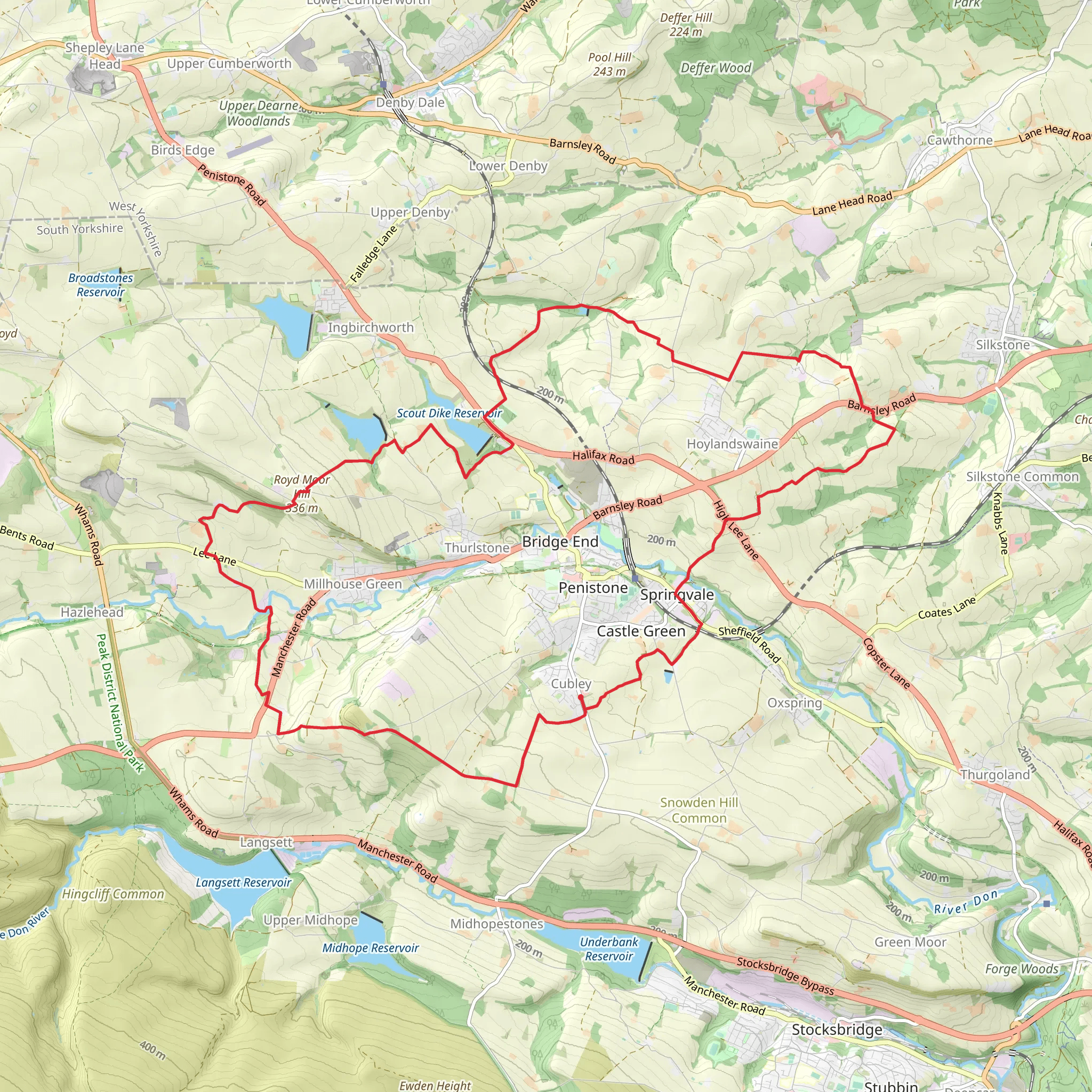
Starting near Penistone, England, the Cubley, Springvale, and Bullhouse Loop is a captivating 25 km (15.5 miles) trail with an elevation gain of approximately 500 meters (1,640 feet). This loop trail offers a medium difficulty rating, making it suitable for moderately experienced hikers.
Getting There
To reach the trailhead, you can either drive or use public transport. If you're driving, Penistone is accessible via the A628 and A629 roads. For those opting for public transport, Penistone has a railway station with regular services from Sheffield and Huddersfield. From the station, it's a short walk to the trailhead near Cubley.
Trail Overview
The trail begins near Cubley, a quaint village that sets the tone for the journey ahead. As you start, you'll traverse through a mix of open fields and woodland areas, offering a variety of landscapes. The initial part of the trail is relatively flat, allowing you to ease into the hike.
Significant Landmarks and Nature
#### Cubley to Springvale
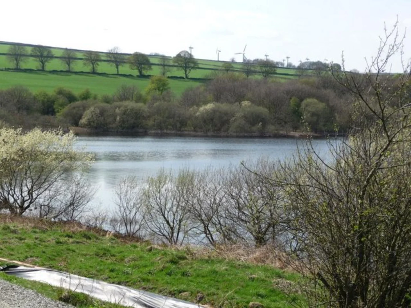
Around 5 km (3.1 miles) into the hike, you'll reach Springvale. This section is characterized by rolling hills and expansive meadows. Keep an eye out for local wildlife such as deer and various bird species. The elevation gain here is gradual, making it a pleasant walk.
#### Springvale to Bullhouse
Continuing from Springvale, the trail leads you towards Bullhouse, approximately 10 km (6.2 miles) from the start. This segment includes a more noticeable elevation gain, with some steeper sections. Bullhouse is known for its historical significance, particularly the Bullhouse Chapel, which dates back to the 17th century. The chapel is a fascinating landmark, offering a glimpse into the region's rich history.
Flora and Fauna
The trail is abundant with diverse flora and fauna. Depending on the season, you might encounter blooming wildflowers, lush greenery, or autumnal hues. The woodlands are home to various species of birds, making it a great spot for birdwatching. In the open fields, you might see rabbits and other small mammals.
Navigation and Safety
Given the trail's moderate difficulty, it's advisable to use a reliable navigation tool like HiiKER to stay on track. The trail is well-marked, but having a digital map can be incredibly useful, especially in the more remote sections.
Final Stretch
As you loop back towards Penistone, the final 5 km (3.1 miles) offer a mix of gentle descents and flat terrain, allowing you to cool down after the more strenuous middle sections. The trail concludes back near Cubley, where you can take a moment to relax and reflect on the journey.
This loop trail offers a perfect blend of natural beauty, historical landmarks, and moderate physical challenge, making it a rewarding experience for any hiker.
What to expect?
Activity types
Comments and Reviews
User comments, reviews and discussions about the Cubley, Springvale and Bullhouse Loop, England.
4.5
average rating out of 5
2 rating(s)

