Download
Preview
Add to list
More
9.7 km
~2 hrs 11 min
152 m
Loop
“Experience the charm, history, and scenic beauty of Oxfordshire on the delightful Upper Heyford and Steeple Aston Loop.”
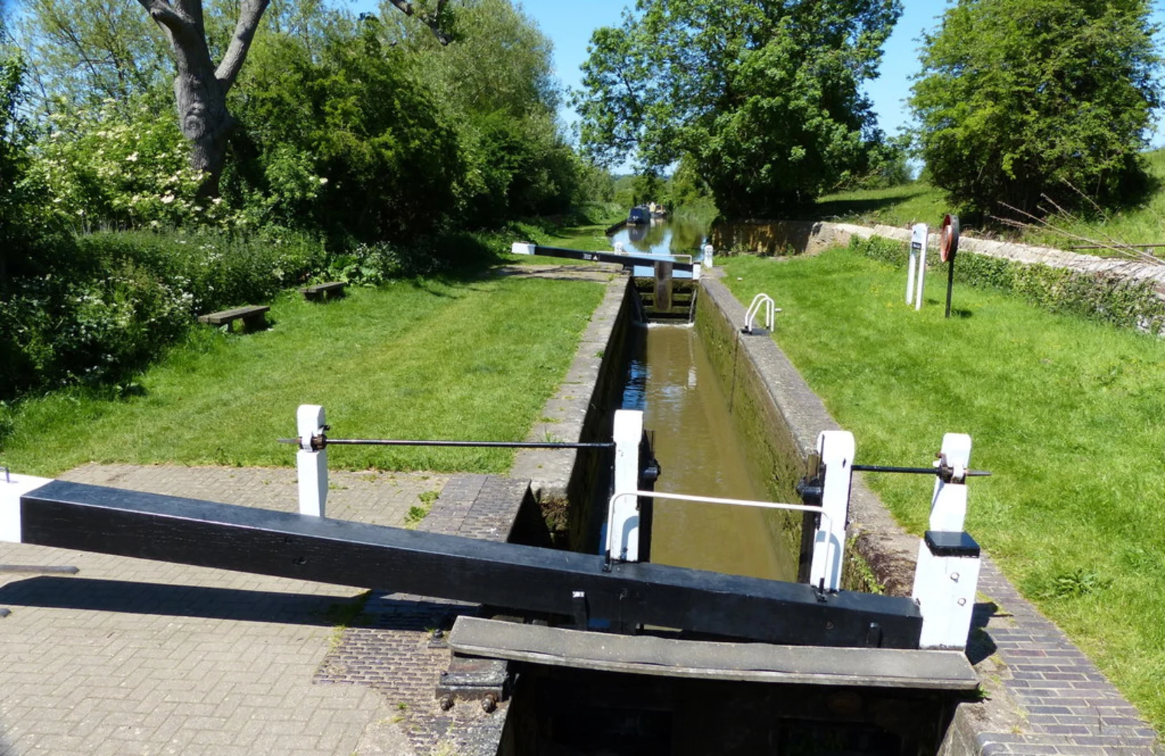
Starting near Oxfordshire, England, the Upper Heyford and Steeple Aston Loop is a delightful 10 km (6.2 miles) trail with an elevation gain of around 100 meters (328 feet). This loop trail is rated as medium difficulty, making it suitable for hikers with a moderate level of fitness.
Getting There To reach the trailhead, you can drive or use public transport. If driving, set your GPS to Upper Heyford, Oxfordshire. There is parking available near the village. For those using public transport, take a train to Heyford Station, which is the closest railway station. From there, it's a short walk to the trailhead.
Trail Overview The trail begins in the charming village of Upper Heyford, known for its picturesque cottages and historical significance. As you start your hike, you'll pass through the village, where you can admire the traditional English architecture and perhaps grab a quick snack at a local café.
Historical Significance Upper Heyford is steeped in history, particularly from the 20th century. The village was home to RAF Upper Heyford, a significant airbase during World War II and the Cold War. As you walk through the area, you might notice remnants of this historical period, including old airfield structures.
Nature and Wildlife As you leave the village, the trail takes you through a mix of open fields and wooded areas. Keep an eye out for local wildlife such as deer, foxes, and a variety of bird species. The trail is particularly beautiful in spring and summer when wildflowers are in full bloom.
Key Landmarks Around the 3 km (1.9 miles) mark, you'll reach the village of Steeple Aston. This quaint village is worth a short detour to explore its historic church, St. Peter and St. Paul, which dates back to the 13th century. The village also has a small shop where you can replenish your supplies.
Elevation and Terrain The trail features gentle rolling hills, with the most significant elevation gain occurring between the 4 km (2.5 miles) and 6 km (3.7 miles) marks. The terrain is a mix of dirt paths, grassy fields, and some paved sections, so sturdy hiking boots are recommended.
Navigation To ensure you stay on track, use the HiiKER app, which provides detailed maps and real-time navigation. The trail is well-marked, but having a reliable navigation tool will enhance your hiking experience.
Final Stretch As you loop back towards Upper Heyford, the final 2 km (1.2 miles) offer stunning views of the Oxfordshire countryside. The trail gradually descends, making for a pleasant and easy finish to your hike.
This loop trail offers a perfect blend of natural beauty, historical intrigue, and moderate physical challenge, making it a rewarding experience for any hiker.

What to expect?
Activity types
Comments and Reviews
User comments, reviews and discussions about the Upper Heyford and Steeple Aston Loop, England.
4.67
average rating out of 5
3 rating(s)