Download
Preview
Add to list
More
6.4 km
~1 hrs 20 min
37 m
Loop
“This 6 km loop near Nottinghamshire combines scenic landscapes, historical landmarks, and charming villages for a rewarding hike.”
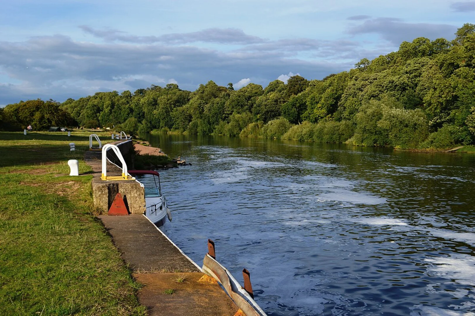
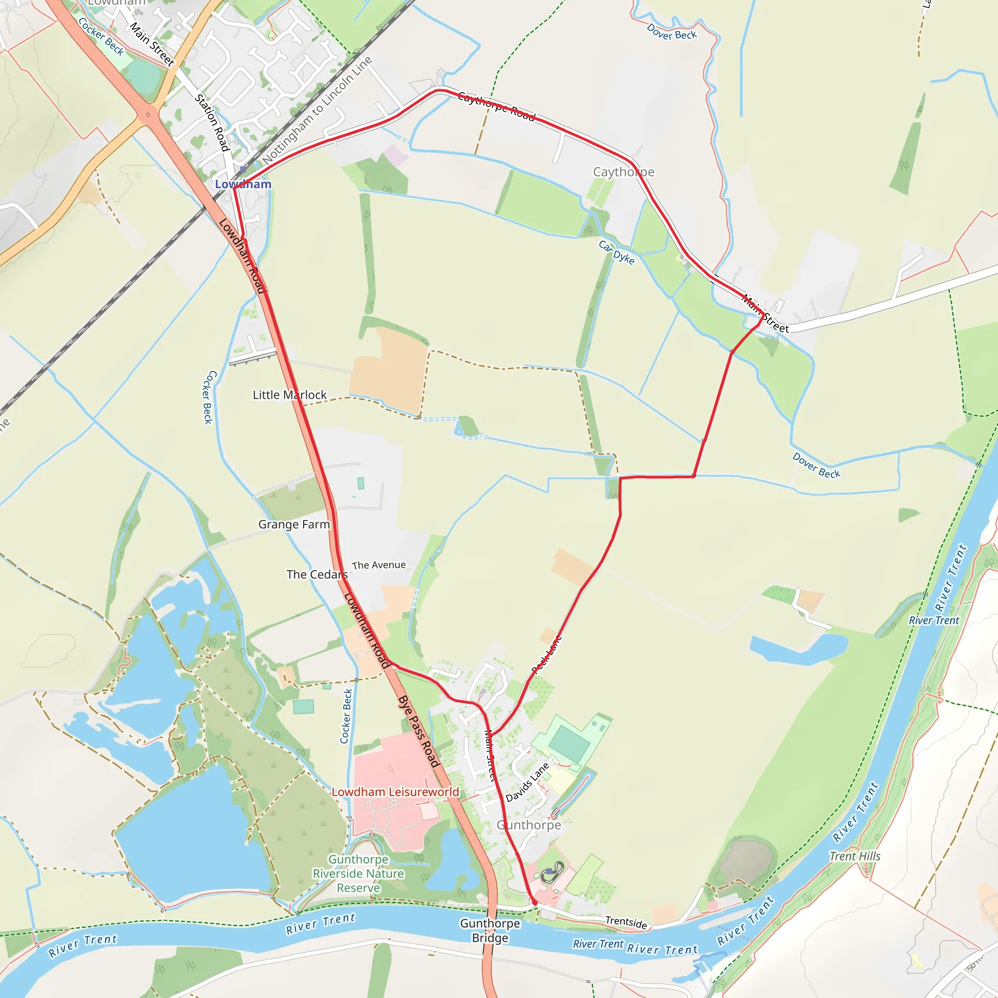
Starting near Nottinghamshire, England, this 6 km (approximately 3.7 miles) loop trail offers a delightful mix of rural landscapes, historical landmarks, and charming villages. With no significant elevation gain, it is accessible to a wide range of hikers, though it is rated as medium difficulty due to some uneven terrain and potentially muddy sections after rain.### Getting There To reach the trailhead, you can drive or use public transport. If driving, you can park near the village of Gunthorpe, which is easily accessible from the A6097. For those using public transport, the nearest significant landmark is the Gunthorpe Bridge. Buses from Nottingham city center frequently service this area, making it convenient for those without a car.### Trail Overview The loop begins in Gunthorpe, a picturesque village known for its riverside views along the River Trent. As you set off, you'll be greeted by the sight of Gunthorpe Lock, a historical structure that dates back to the early 20th century. This lock is part of the Trent Navigation system, which played a crucial role in the region's industrial history.### Gunthorpe to Caythorpe The first section of the trail takes you from Gunthorpe to Caythorpe, covering approximately 2 km (1.2 miles). This part of the hike is relatively flat and follows well-trodden paths through open fields and farmland. Keep an eye out for local wildlife, including various bird species and small mammals. The hedgerows along the path are often bustling with activity, especially in the early morning and late afternoon.### Caythorpe to Lowdham Upon reaching Caythorpe, you'll find a quaint village with a rich history. The village church, St. John the Baptist, is worth a quick visit. This medieval church has stood for centuries and offers a glimpse into the area's past. From Caythorpe, the trail continues for another 2 km (1.2 miles) towards Lowdham. This section is slightly more challenging due to narrower paths and occasional muddy patches, particularly after rain.### Lowdham Highlights Lowdham is another charming village with several points of interest. The Lowdham Mill, although no longer operational, is a historical landmark that adds to the village's rustic charm. The village also hosts a variety of local shops and cafes, perfect for a quick rest and refreshment.### Return to Gunthorpe The final leg of the loop brings you back to Gunthorpe, covering the remaining 2 km (1.2 miles). This section is relatively straightforward, with well-marked paths leading you back to your starting point. As you approach Gunthorpe, you'll once again enjoy the scenic views of the River Trent, making for a pleasant end to your hike.### Navigation and Safety For navigation, it is highly recommended to use the HiiKER app, which provides detailed maps and real-time updates. The trail is generally well-marked, but having a reliable navigation tool will ensure you stay on track. Always check the weather forecast before setting out, as conditions can change rapidly, especially in rural areas.This loop trail offers a perfect blend of natural beauty, historical landmarks, and village charm, making it a rewarding experience for hikers of all levels.
What to expect?
Activity types
Comments and Reviews
User comments, reviews and discussions about the Gunthorpe, Caythorpe and Lowdham Loop, England.
4.5
average rating out of 5
2 rating(s)

