Download
Preview
Add to list
More
4.8 km
~1 hrs 10 min
136 m
Loop
“Discover diverse landscapes, rich history, and stunning vistas on this 5 km Nottinghamshire loop trail.”
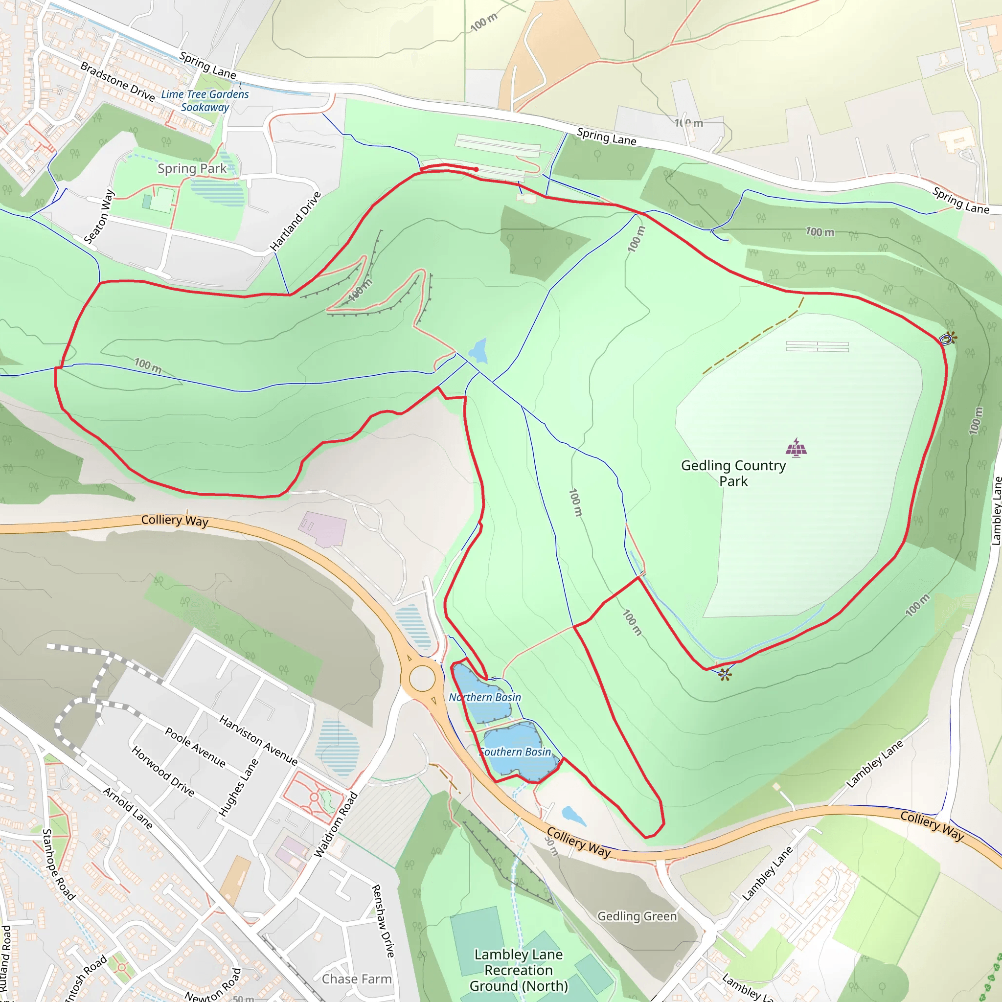
Nestled near Nottinghamshire, England, this loop trail spans approximately 5 km (3.1 miles) with an elevation gain of around 100 meters (328 feet). The trailhead is conveniently located near the Gedling Country Park Visitor Centre, which is easily accessible by both car and public transport. If you're driving, you can park at the Gedling Country Park Car Park, situated off Spring Lane. For those using public transport, the nearest bus stop is at Mapperley Plains, just a short walk from the park entrance.
Trail Overview
The trail begins at the Gedling Country Park Visitor Centre, where you can find restrooms and a café to grab a quick snack or drink before you start. As you set off, you'll immediately notice the well-maintained paths, making navigation straightforward. The trail is marked with clear signage, but for added assurance, you can use the HiiKER app to keep track of your route.
Flora and Fauna
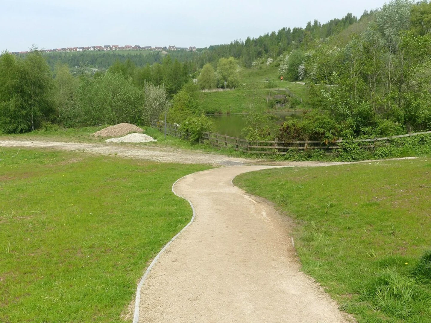
As you hike, you'll traverse a variety of landscapes, from open meadows to wooded areas. The park is home to a diverse range of wildlife, including rabbits, foxes, and a variety of bird species. Keep an eye out for kestrels and buzzards soaring overhead. In the spring and summer months, the meadows are awash with wildflowers, providing a colorful backdrop to your hike.
Significant Landmarks
Around the 1.5 km (0.9 miles) mark, you'll come across the Solar Farm, a fascinating feature that highlights the park's commitment to sustainability. This area offers panoramic views of the surrounding countryside, making it a perfect spot for a quick rest and some photos.
Continuing on, you'll reach the highest point of the trail at approximately 2.5 km (1.6 miles). Here, you'll find a viewpoint with benches where you can take in stunning vistas of Nottinghamshire and beyond. On a clear day, you might even catch a glimpse of the city of Nottingham in the distance.
Historical Significance
Gedling Country Park was once the site of Gedling Colliery, a coal mine that operated from 1902 until its closure in 1991. The park was established in 2015, transforming the former industrial site into a green space for the community. Informational plaques along the trail provide insights into the area's mining history, making your hike not only a physical journey but also an educational one.
Final Stretch
As you descend from the viewpoint, the trail loops back towards the Visitor Centre. The final 1.5 km (0.9 miles) takes you through a serene woodland area, where the canopy of trees provides a cool, shaded environment. This section is relatively flat, allowing for a leisurely end to your hike.
Practical Tips
Given the moderate difficulty rating, this trail is suitable for hikers of varying skill levels, though some sections can be a bit steep. Wear sturdy hiking boots and bring plenty of water, especially during warmer months. The trail can get muddy after rain, so be prepared for potentially slippery conditions.
Whether you're a local or a visitor, this trail offers a delightful mix of natural beauty, wildlife, and historical intrigue, making it a must-visit for any hiking enthusiast.
What to expect?
Activity types
Comments and Reviews
User comments, reviews and discussions about the Gedling Country Park, England.
average rating out of 5
0 rating(s)

