Download
Preview
Add to list
More
2.5 km
~31 min
17 m
Loop
“Explore the unique 2 km Northumberlandia Land Form Loop, blending art, nature, and history effortlessly.”
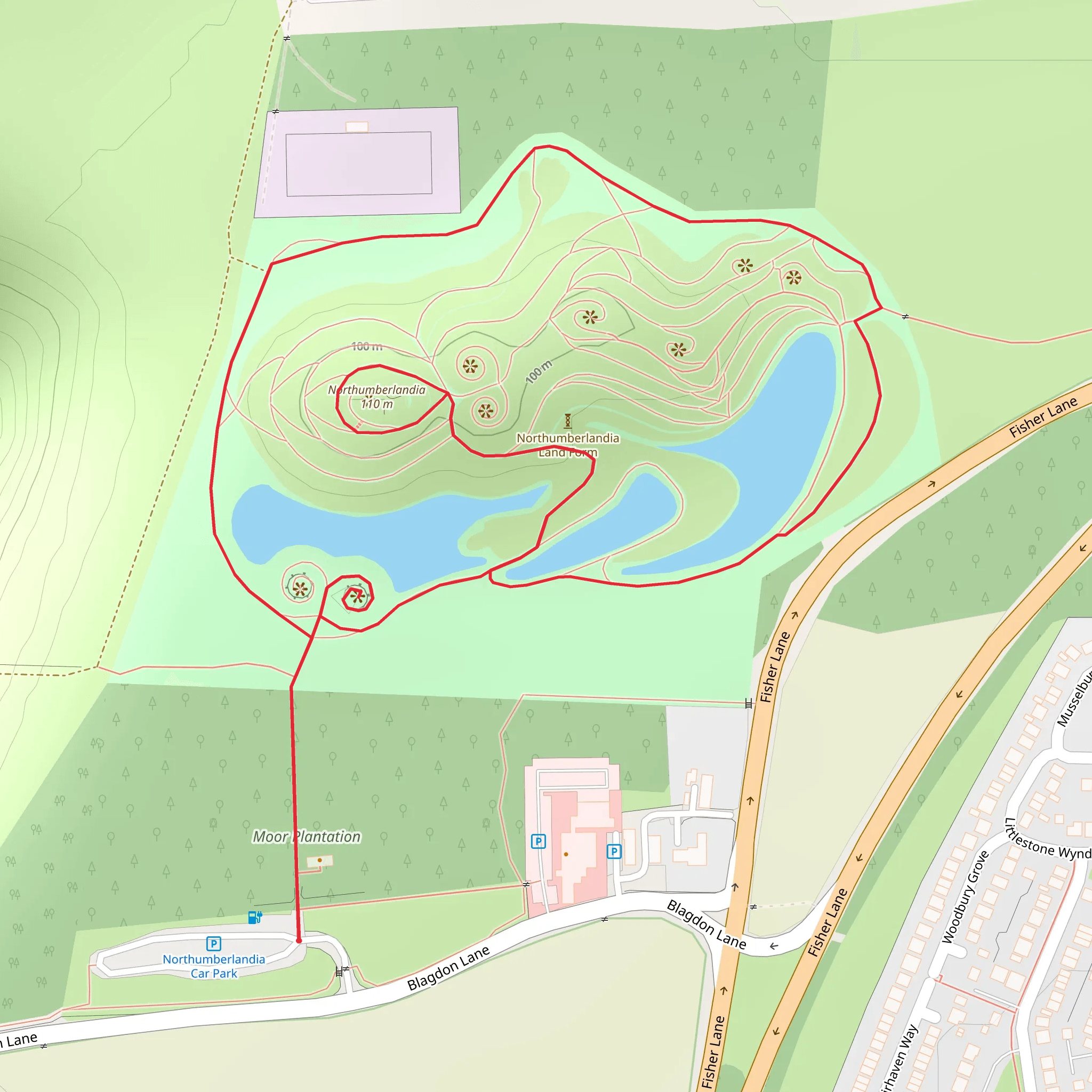
Starting near Northumberland, England, the Northumberlandia Land Form Loop is a unique 2 km (1.24 miles) trail with no significant elevation gain, making it accessible for most hikers. This loop trail is rated as medium difficulty, primarily due to its undulating terrain and the need for careful navigation around the sculpted landscape.
Getting There
To reach the trailhead, you can drive or use public transport. If driving, set your GPS to Northumberlandia, Blagdon Lane, Cramlington NE23 8AU, which is the nearest known address. There is ample parking available at the visitor center. For those using public transport, the nearest train station is Cramlington, approximately 3 miles (4.8 km) away. From the station, you can take a local bus or taxi to the trailhead.
Trail Overview
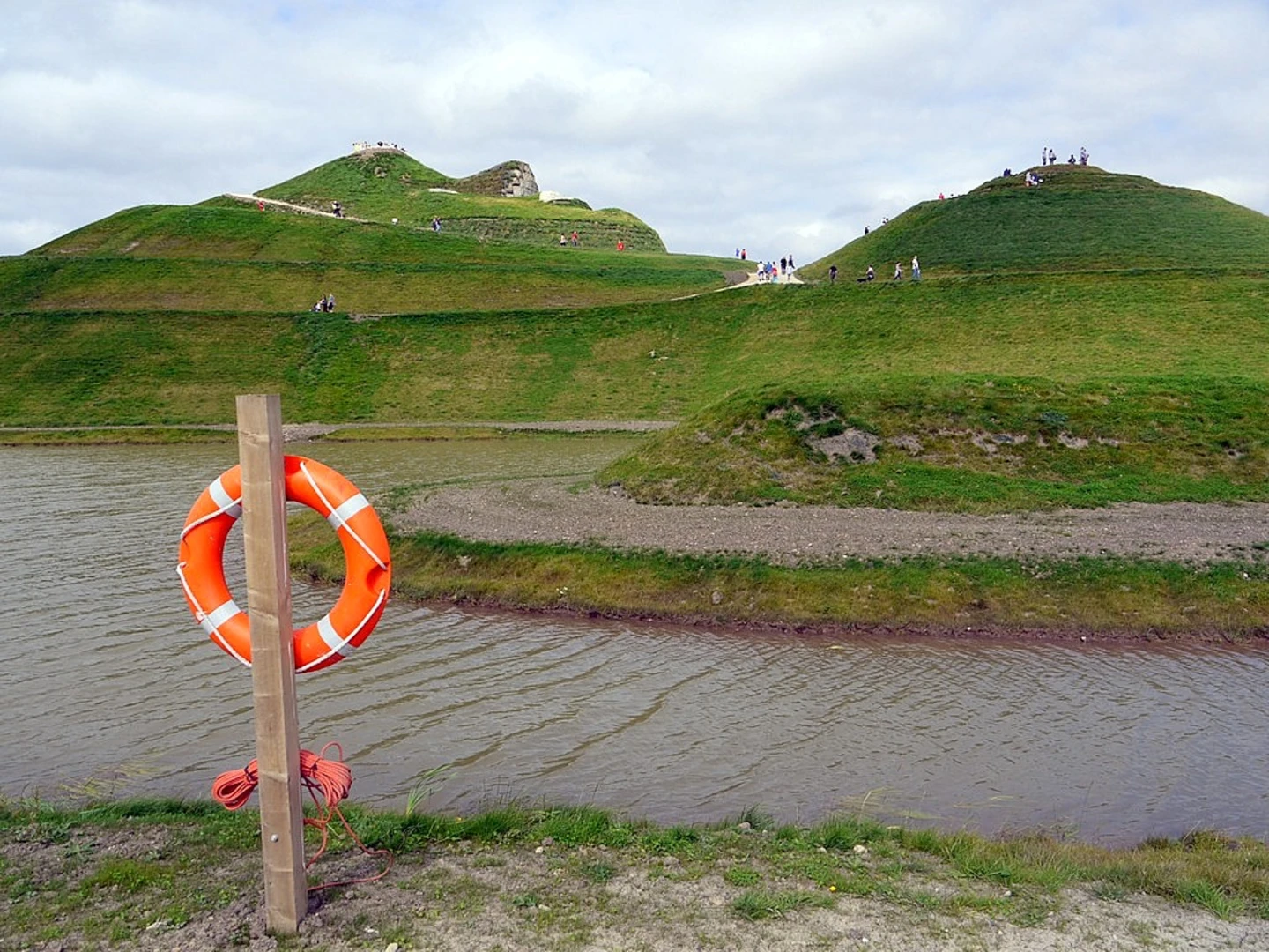
The Northumberlandia Land Form Loop is a fascinating walk around a human-made land sculpture known as "The Lady of the North." This massive earth sculpture, designed by artist Charles Jencks, represents a reclining female figure and is made from 1.5 million tonnes of rock, clay, and soil. The trail meanders around and over the sculpture, offering various perspectives and stunning views.
Points of Interest
- The Lady of the North: The main attraction, this landform is 34 meters (112 feet) high and 400 meters (1,312 feet) long. The trail allows you to walk up to her face, chest, and knees, providing a unique experience of scale and artistry. - Viewing Platforms: There are several viewing platforms along the trail, offering panoramic views of the surrounding countryside and the sculpture itself. These platforms are strategically placed to give you the best angles for photography. - Wildlife and Flora: The area around Northumberlandia is rich in wildlife. Keep an eye out for various bird species, including skylarks and kestrels. The flora is also diverse, with wildflowers blooming in the spring and summer months. - Interpretive Signs: Throughout the trail, you'll find interpretive signs that provide information about the creation of Northumberlandia, the local geology, and the flora and fauna of the area.
Navigation and Safety
While the trail is well-marked, it's always a good idea to have a reliable navigation tool. HiiKER is an excellent app for this purpose, offering detailed maps and real-time GPS tracking to ensure you stay on course. The trail surface is a mix of gravel and grass, so sturdy walking shoes are recommended.
Historical Significance
Northumberlandia was created as part of the restoration of the adjacent Shotton Surface Mine, demonstrating a unique blend of art, nature, and industry. The project was funded by the Banks Group and the Blagdon Estate, aiming to create a lasting legacy for the community and visitors.
Practical Tips
- Facilities: The visitor center at the trailhead offers restrooms, a café, and an information center where you can learn more about the sculpture and the surrounding area. - Weather: The trail is exposed in many areas, so check the weather forecast and dress accordingly. Bring water and sun protection during the summer months. - Accessibility: While the trail is generally accessible, some sections may be challenging for those with mobility issues due to the undulating terrain.
This trail offers a unique blend of art, nature, and history, making it a must-visit for anyone in the Northumberland area.
What to expect?
Activity types
Comments and Reviews
User comments, reviews and discussions about the Northumberlandia Land Form Loop, England.
4.67
average rating out of 5
6 rating(s)

