Download
Preview
Add to list
More
8.4 km
~1 hrs 47 min
70 m
Point-to-Point
“Explore Northumberland's serene coast and vibrant inland with this 8 km, wildlife-rich, historical trail.”
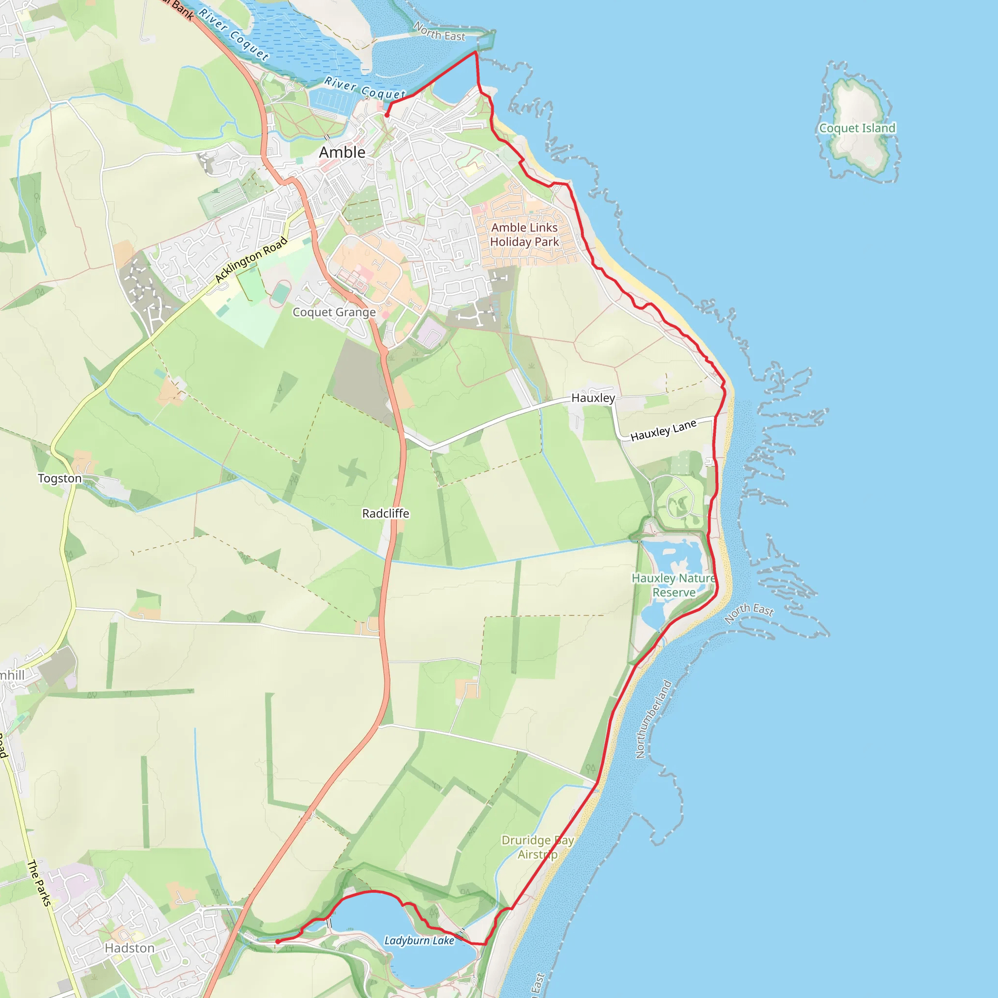
Starting near the picturesque village of Cresswell in Northumberland, England, the Northumberland Coast Path and Ladyburn Lake trail stretches approximately 8 km (5 miles) with virtually no elevation gain, making it accessible for a wide range of hikers. This point-to-point trail offers a blend of coastal beauty and serene inland landscapes, perfect for a medium-difficulty hike.
Getting There To reach the trailhead, you can drive to Cresswell, which is well-signposted from the A1068. There is a small car park near the beach where you can leave your vehicle. If you prefer public transport, the nearest train station is in Morpeth, about 15 km (9 miles) away. From Morpeth, you can take a bus to Cresswell, with services running regularly.
Trail Overview The trail begins near Cresswell Beach, a stunning stretch of sand that offers panoramic views of the North Sea. As you start your hike, you'll be greeted by the sound of waves crashing and the sight of seabirds soaring overhead. The first section of the trail runs parallel to the coast, providing ample opportunities to spot wildlife such as seals and various bird species, including puffins and terns.
Significant Landmarks Around 2 km (1.2 miles) into the hike, you'll come across the Druridge Bay Country Park. This area is rich in history, having been used as a defensive site during World War II. The remnants of pillboxes and other wartime structures can still be seen, offering a glimpse into the past.
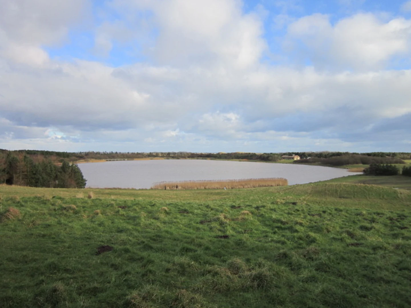
Continuing along the trail, you'll reach Ladyburn Lake at approximately the 4 km (2.5 miles) mark. This freshwater lake is a haven for birdwatchers, with hides strategically placed around the lake for optimal viewing. The lake is also a popular spot for picnicking and offers a peaceful respite from the coastal winds.
Flora and Fauna The trail is abundant with diverse flora and fauna. In the spring and summer months, the coastal meadows are awash with wildflowers, including sea thrift and viper's bugloss. The dunes are home to a variety of insects and small mammals, making it a vibrant ecosystem worth exploring.
Navigation and Safety While the trail is well-marked, it's advisable to use HiiKER for navigation to ensure you stay on track. The app provides detailed maps and real-time updates, which can be particularly useful if the weather turns or if you decide to explore some of the side paths.
Final Stretch As you approach the end of the trail near the village of Low Hauxley, you'll pass through more coastal scenery, including rocky outcrops and sandy bays. The final section offers a tranquil walk through dunes and grasslands, eventually leading you to the end point near Low Hauxley Beach.
This trail offers a perfect blend of coastal and inland scenery, historical landmarks, and abundant wildlife, making it a rewarding hike for those looking to explore the natural beauty and historical richness of Northumberland.
What to expect?
Activity types
Comments and Reviews
User comments, reviews and discussions about the Northumberland Coast Path and Ladyburn Lake, England.
5.0
average rating out of 5
3 rating(s)

